From your phone's store, download an App to view the GPX tracks.
Some Apps, like Komoot and Wikiloc have a navigation function (upon payment).


 Click here to watch the video!


 https://www.itinerarium.it/hikes/124/uriezzoschluchten-riesigen-gletschert%C3%B6pfe


 Length:
 Our time:
 Total climb:
 Min and max height:
 Type of track:
 Surface:
 Panorama:
 Cell network coverage:
 Traced in winter:
 Traced by bike:
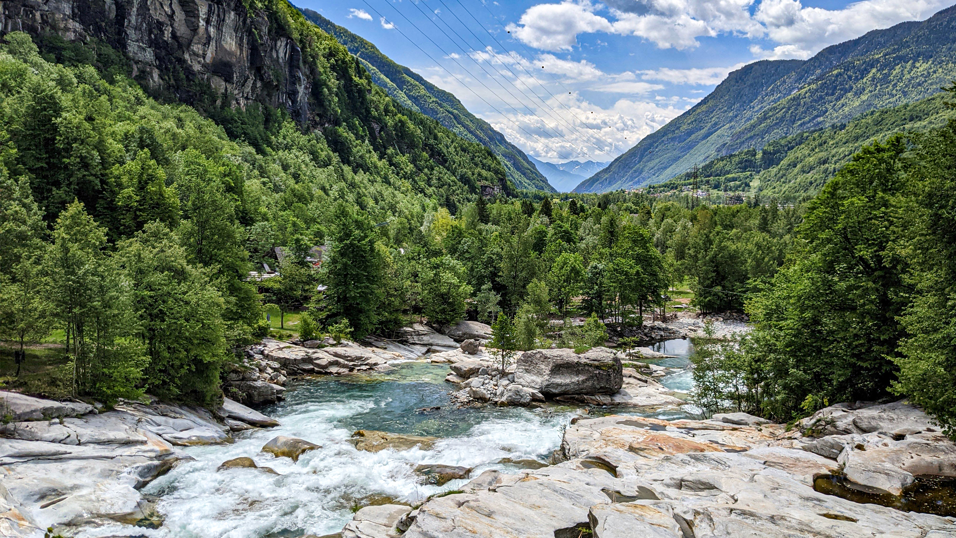
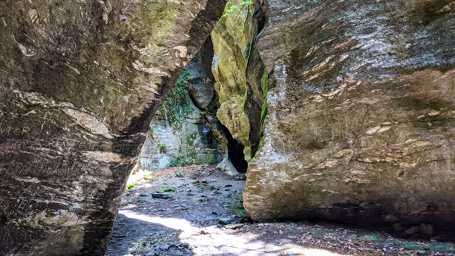
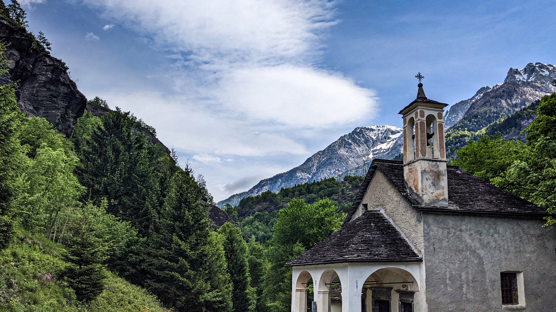
The “Orridi di Uriezzo” (ravines of Uriezzo) are the amazing and sculptural results of the erosion caused by the waters that ran through Valle Antigorio following the last of the four glaciations of the Alps: the Wurmian Glaciation, which happened thousands of years ago when the Toce Glacier was more than 1000 mts thick.
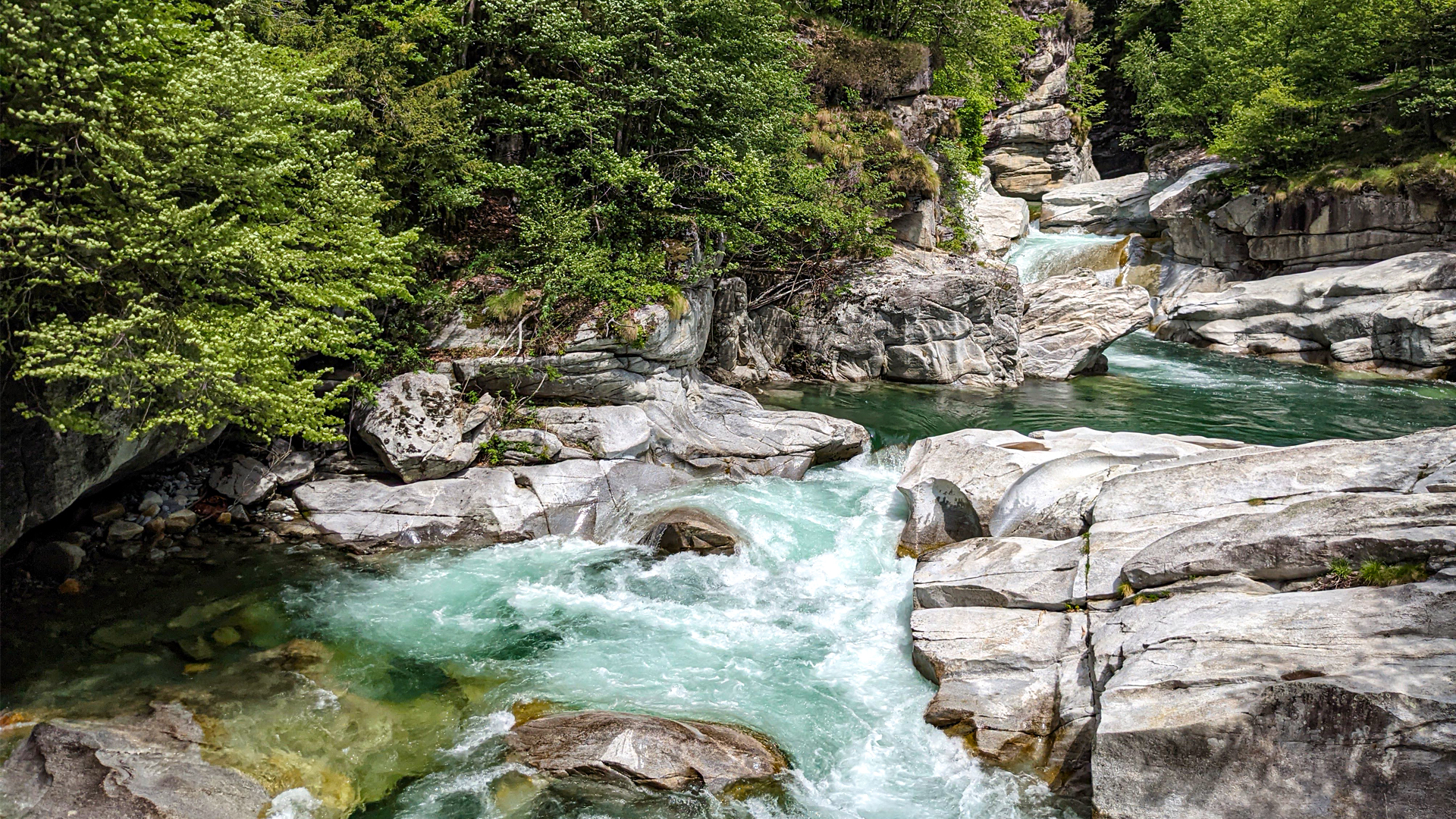
The melting of the glacier gave birth to many rivers that, by vigorously flowing, generated many powerful waterfalls that managed to carve the rocks with their energetic and swirling motion.
The flow rate of Toce gradually reduced, leaving these deep ravines at sight. In Italian they are called “orridi”.
The ravines of Uriezzo can be visited today because they are no longer crossed by the waters, while the Arvèra ravine is still active and crossed by the water of Toce which, after going through the ravine of Balmasuda, visible from the Balmacorda bridge, flows towards the Verampio plain.
The itinerary leads to the discovery of the southern ravine and the north-eastern ravine and proceeds to Maiesso where the spectacular and suggestive Marmitte dei Giganti (marmite of the giants) are present: here the waters coming from the melting of the ancient glacier of Toce gathered forming currents and vortexes that carved through the rocks eventually eroding and showing the deepest layer called “Element 0”.