From your phone's store, download an App to view the GPX tracks.
Some Apps, like Komoot and Wikiloc have a navigation function (upon payment).


 Click here to watch the video!


 https://www.itinerarium.it/hikes/99/trontano-weinberge-und-m%C3%BChlen-(langer-ring)


 Length:
 Our time:
 Total climb:
 Min and max height:
 Type of track:
 Surface:
 Panorama:
 Cell network coverage:
 Traced in winter:
 Traced by bike:
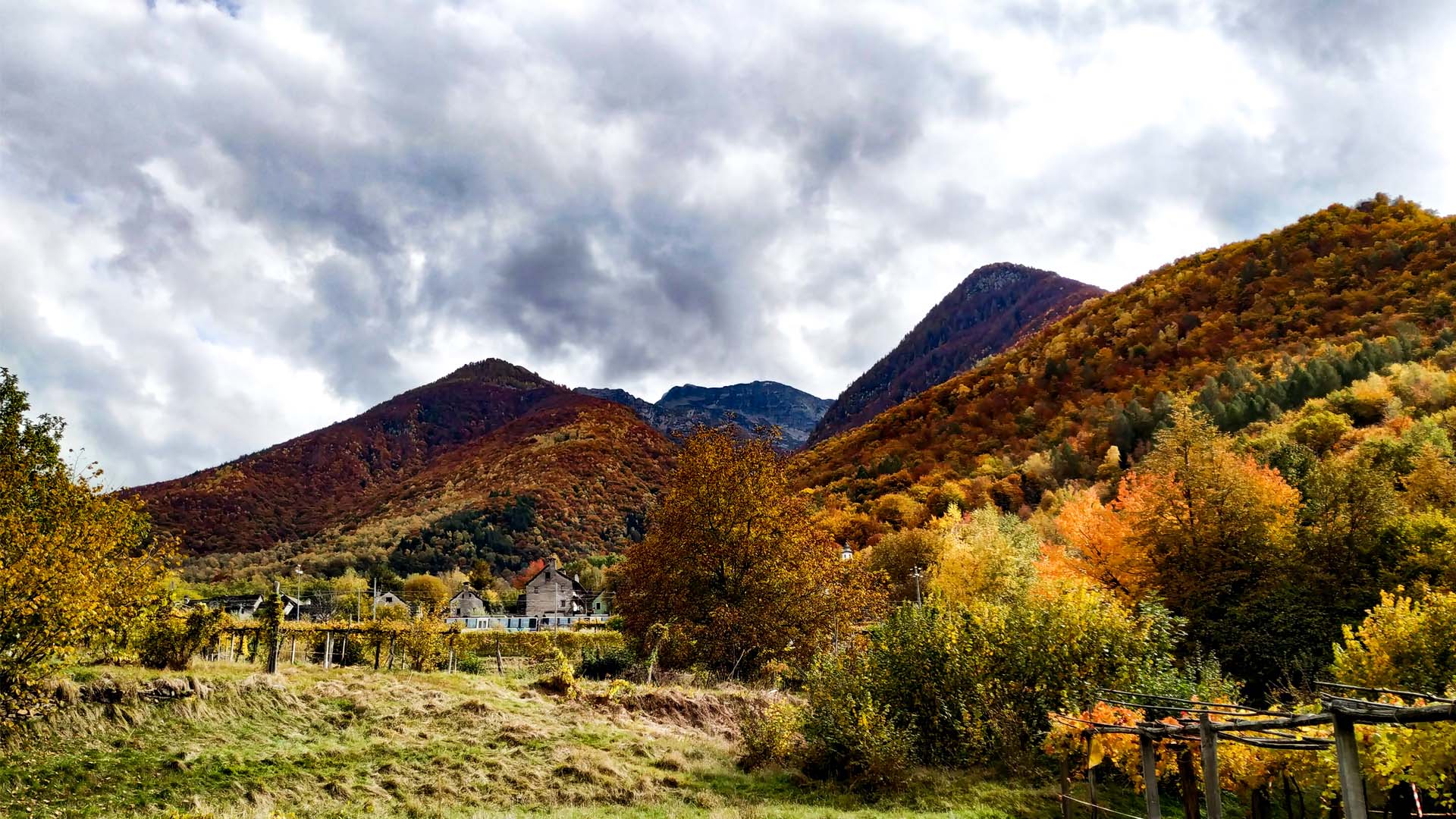
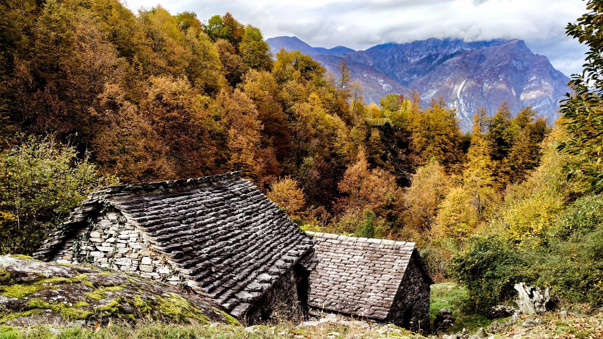
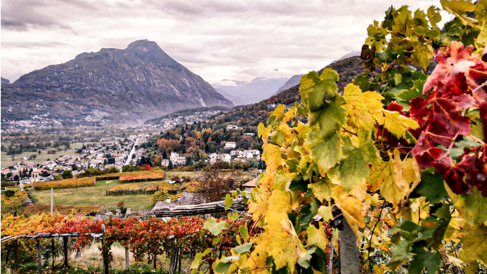
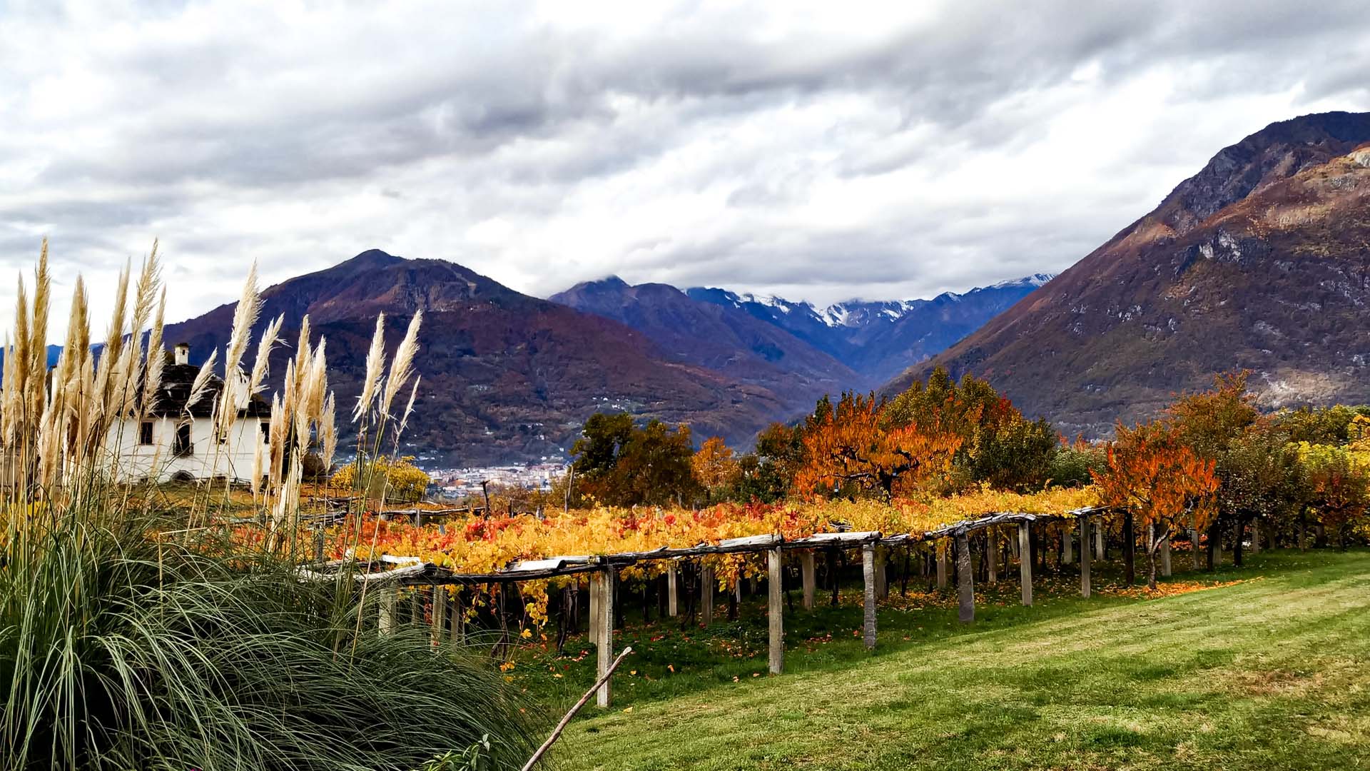
The trail discovers the town of Trontano, its hamlets and its details. It begins among sweet terracing hills that have been cultivated as vines from 1300 until today, and some still keeps the ancient local vine: the Prünent. The trail then goes deep in the chestnut woods until it meets the Corcinesco cloister, a placed wrapped in mystery and protagonist of many local legends. Its history is in fact uncertain and follows several hypothesis: from a castle to a cloister, visited by Fra' Dolcino, to a hideout of witches. Fra' Dolcino, following the legend, took shelter in the tower of Creggio, dated around '200, a watchtower that was part of the signalling system of Ossola.
The trail then takes to the mills of Graglia creek, once used to grind the rye, and then proceeds towards the characteristic town of Verigo.
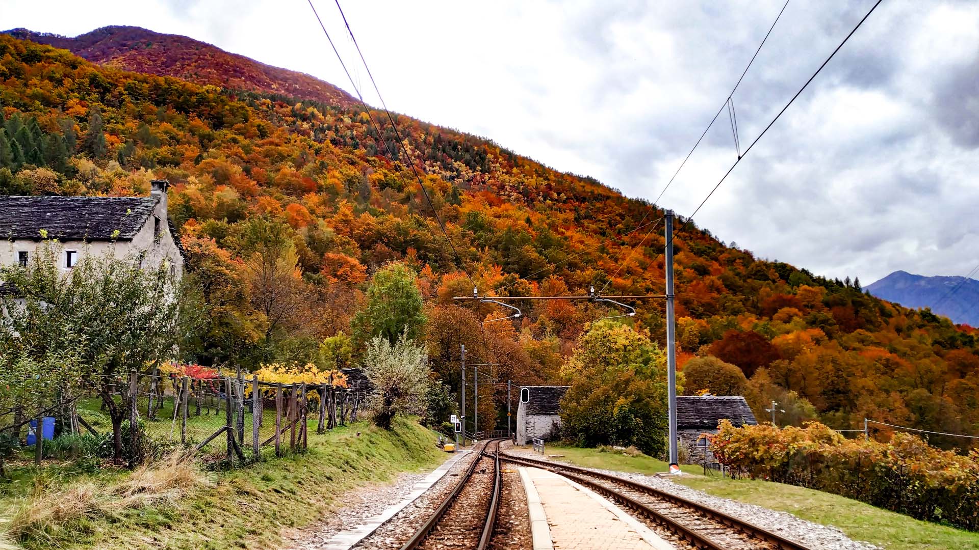
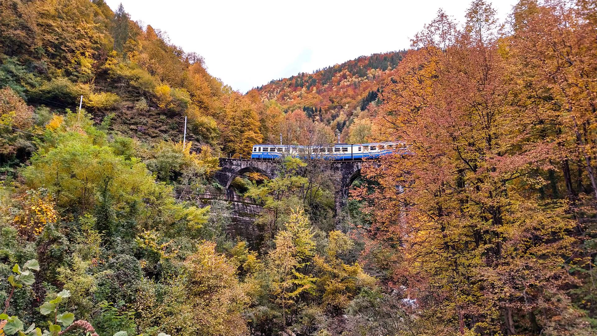
The whole trail is followed and crossed by the Vigezzina – Centovallina railway, that links Domodossola to Locarno. Today the train is mainly turistic and quite appreciated for the landscape it crosses, especially during the autumn foliage. The narrow gauge track, launched in 1923, was desired by the mayor of Locarno, Francesco Balli, and by the mayors of Valle Vigezzo that, following the industrial rising of that time, wanted to bring some economic development to these lands.
The suggested track touches the stations of Creggio, Trontano and Verigo.