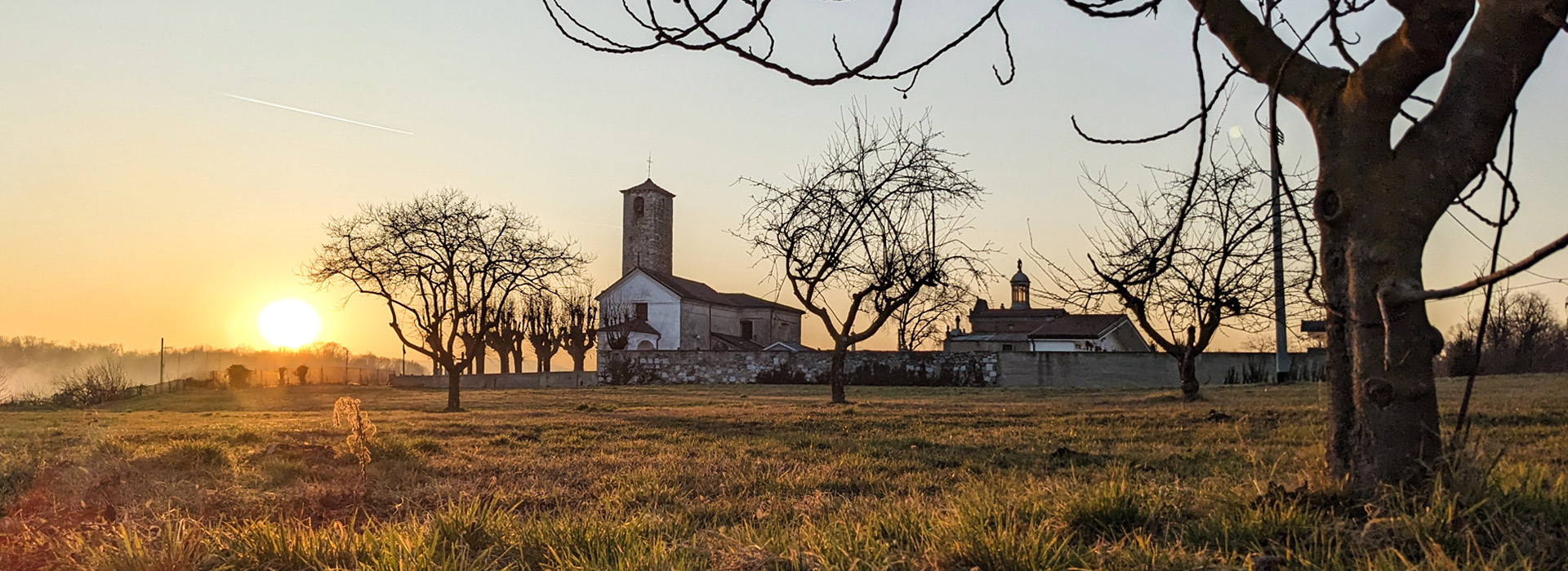
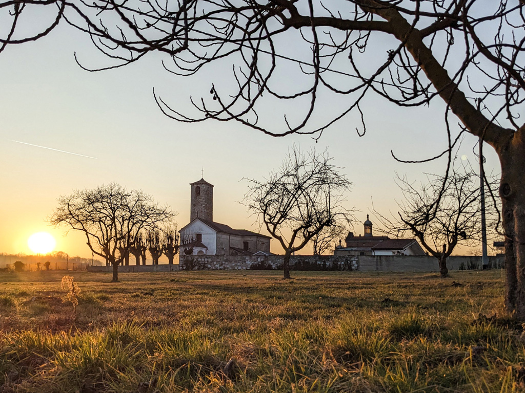
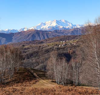
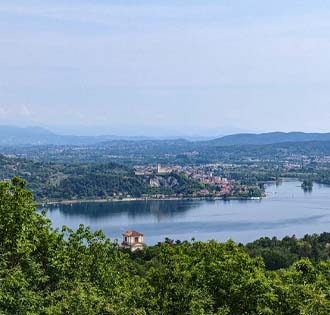
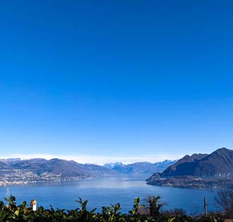
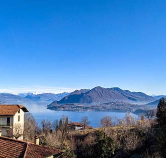
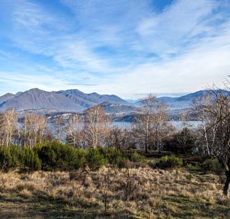
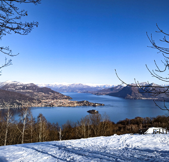
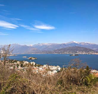
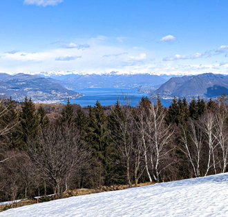
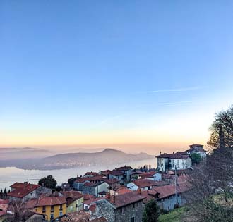
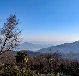
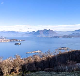
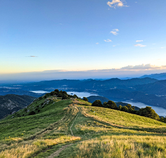
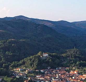
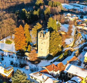
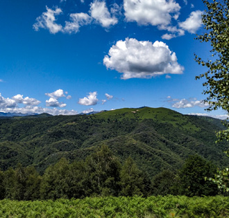
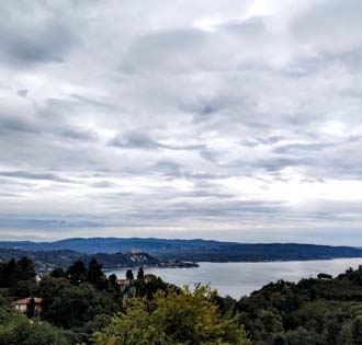
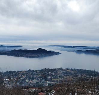
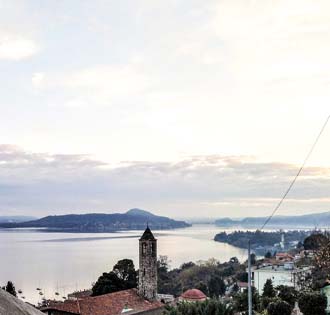
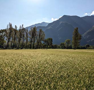
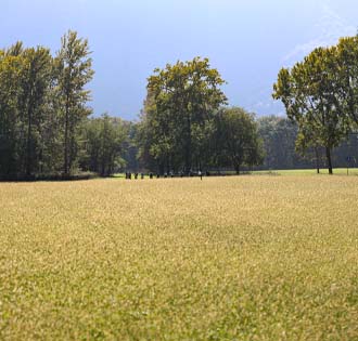
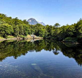
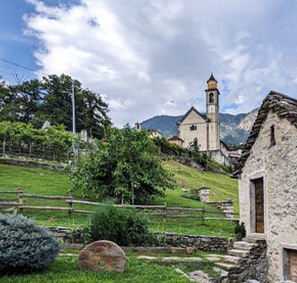
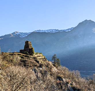
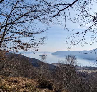
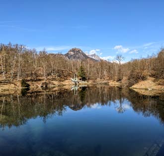
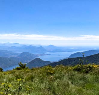
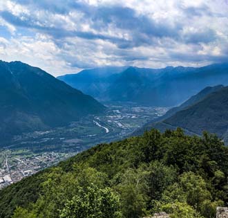
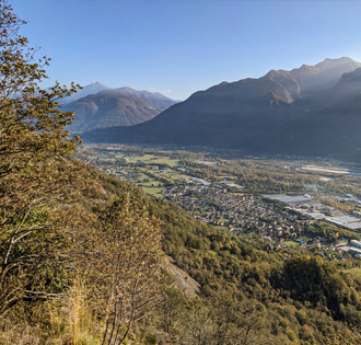
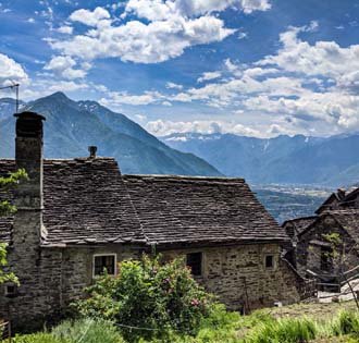
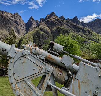
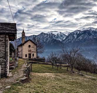
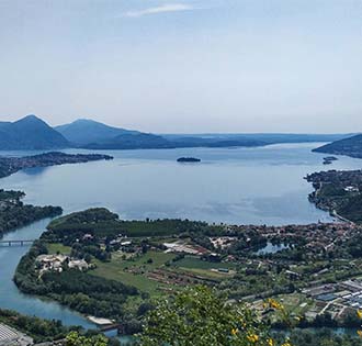
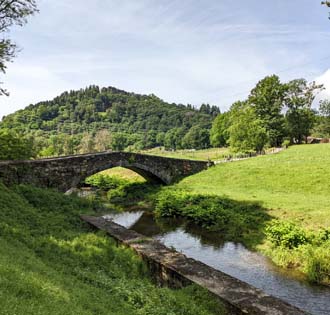
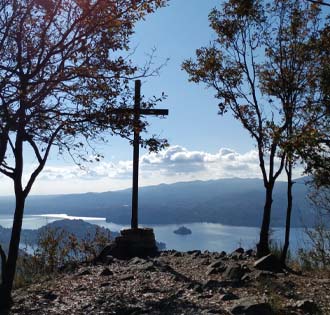
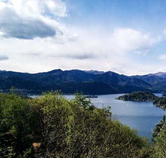
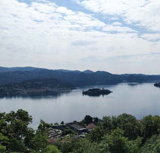
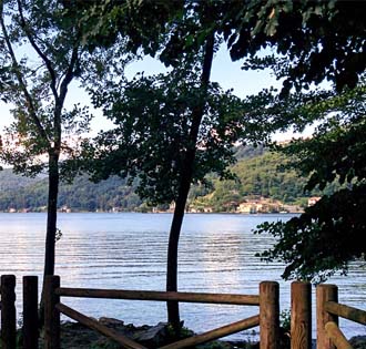
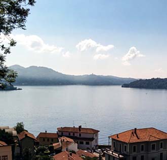
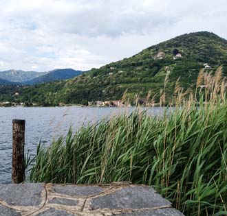
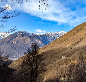
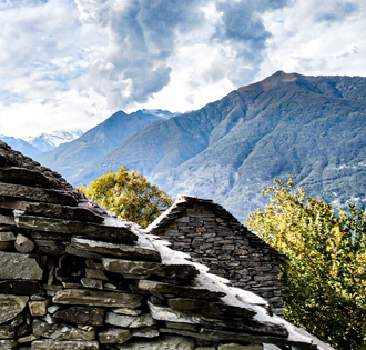
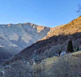
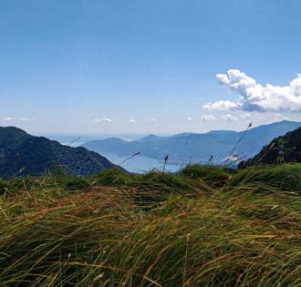
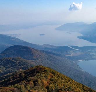
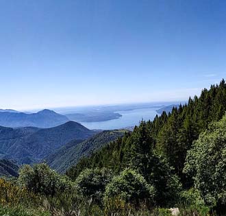
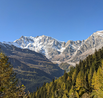
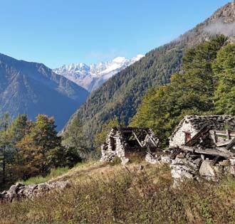
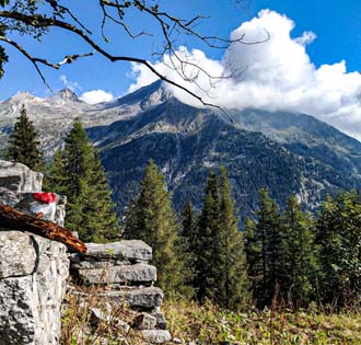
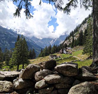
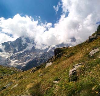
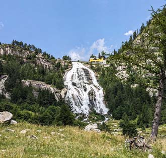
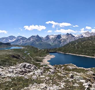
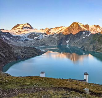
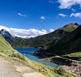
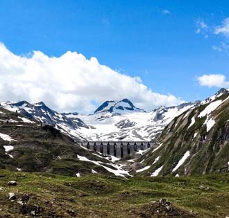
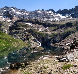
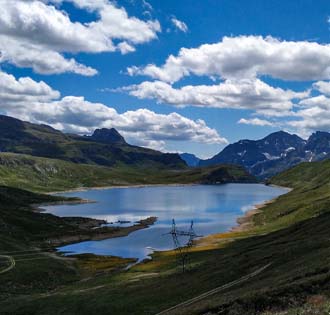
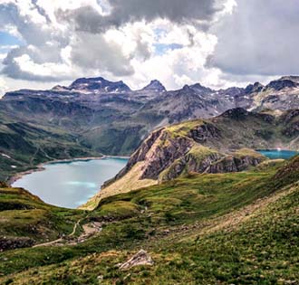
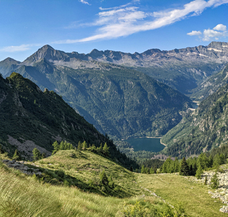
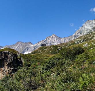
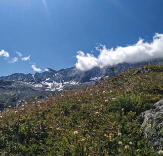
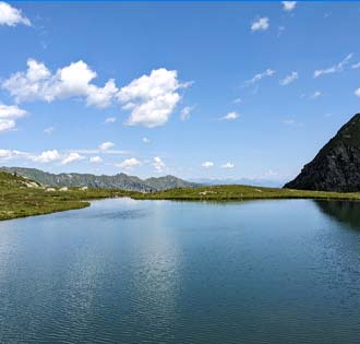
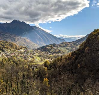
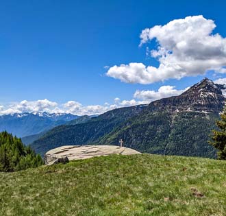
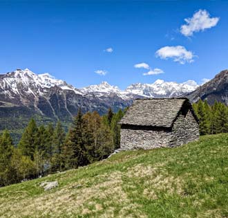
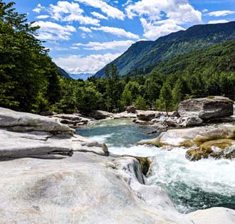
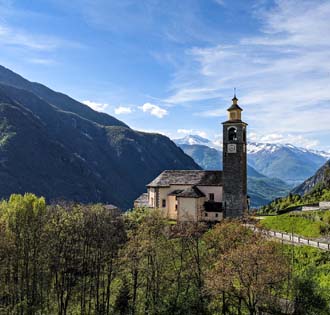
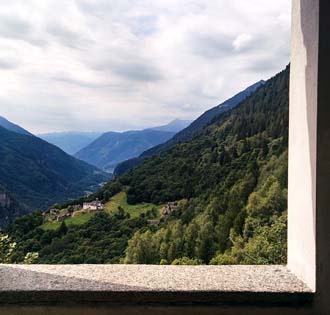
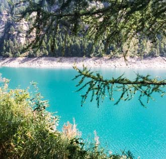
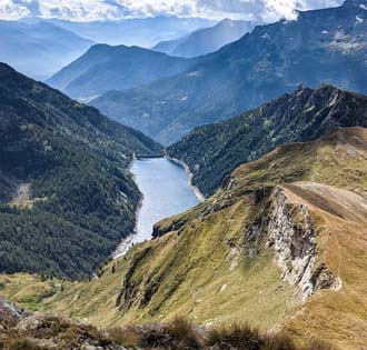
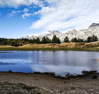
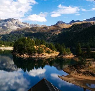
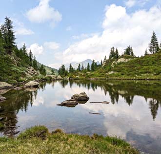
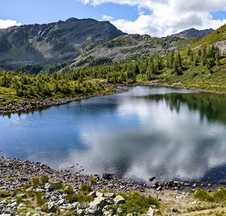
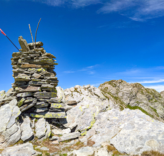
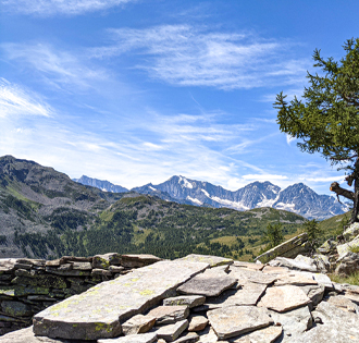
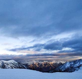
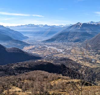
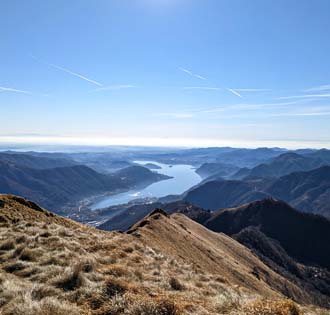
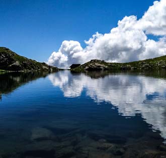
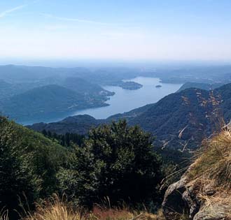
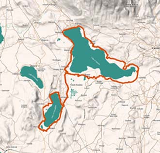
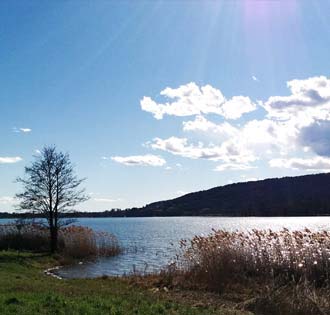
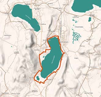
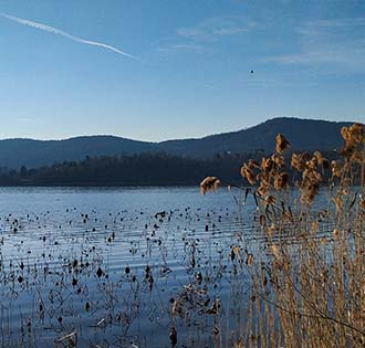
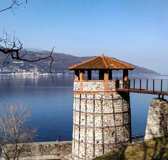
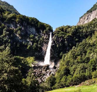
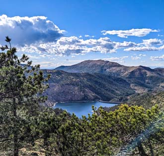
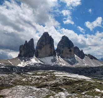
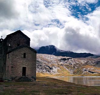
ITINERARIUM® offers a collection, constantly growing, of the best trekking in Ossola, the best trekking of Lago Maggiore and the best hikes of Lake Orta and of Lake Mergozzo.
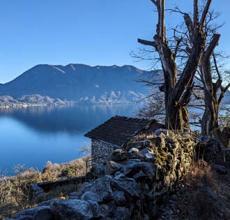
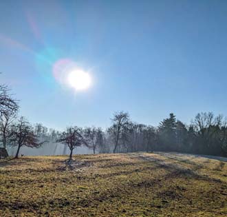
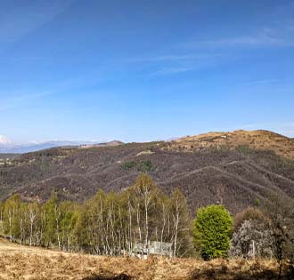
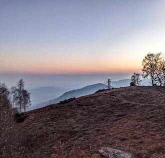
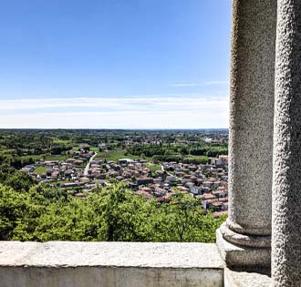
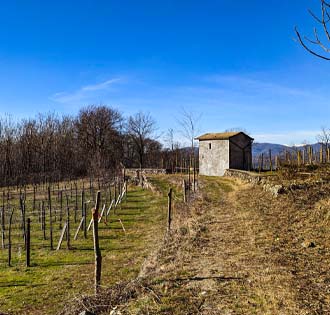
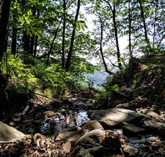
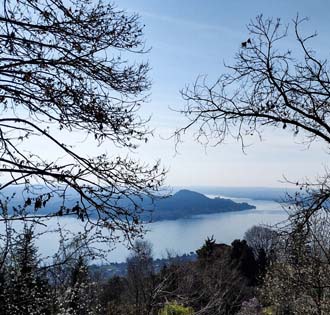
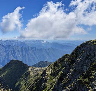
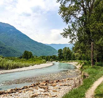
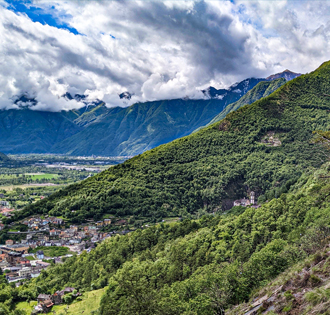
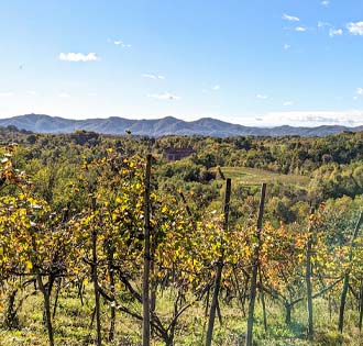
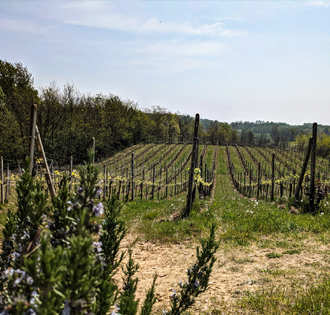
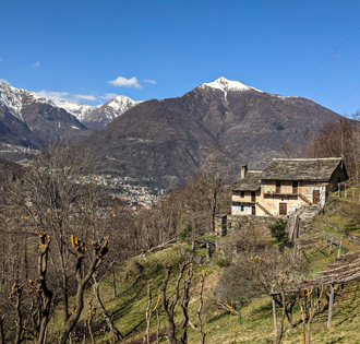
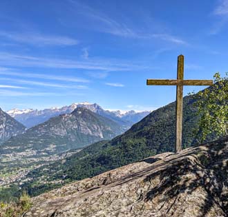
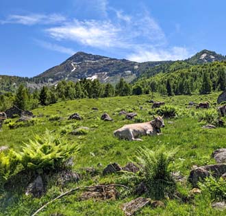
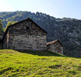
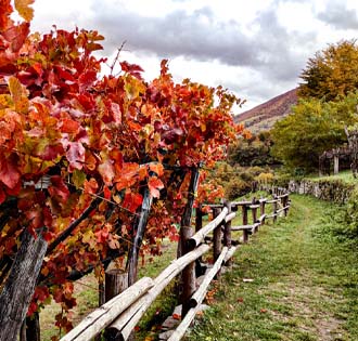
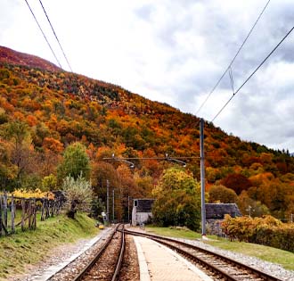
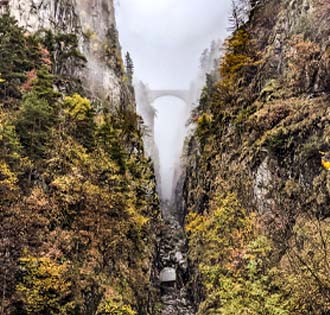
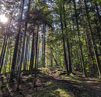
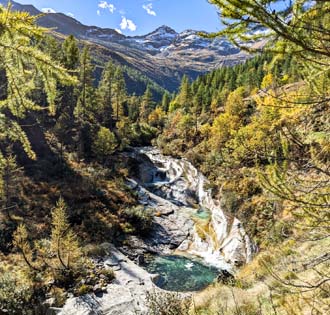
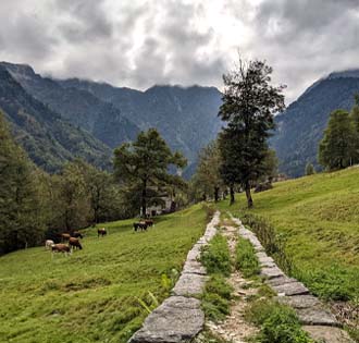
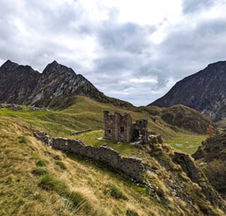
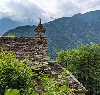
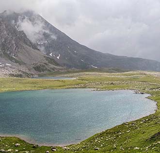
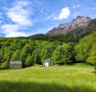
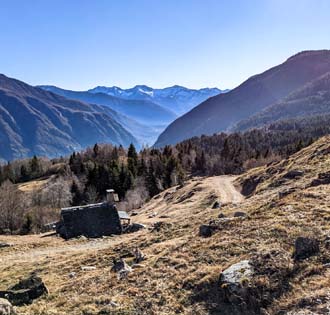
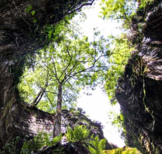
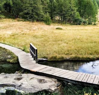
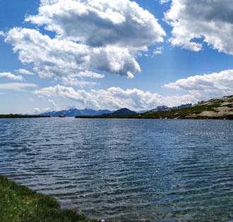
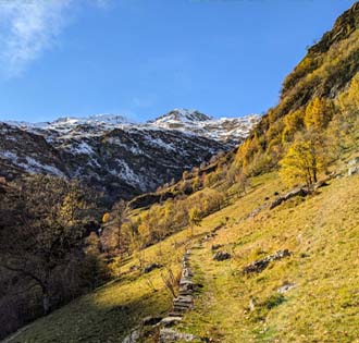
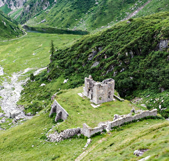
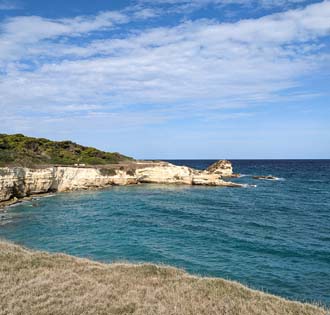
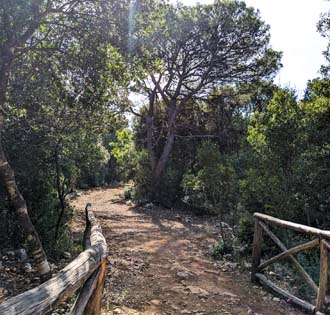
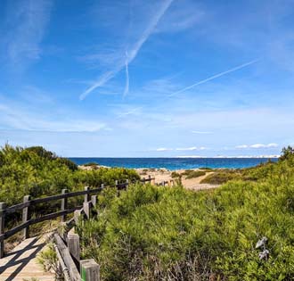
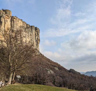
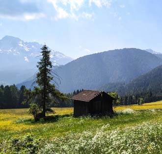
The Ossola valleys and the Vergante hills offer amazing trails suitable for everyone: walks for families, trails for trekking lovers, long hikes and traverses, naturalistic tracks for photography enthusiasts and MTB and ebike trails.
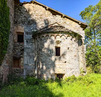
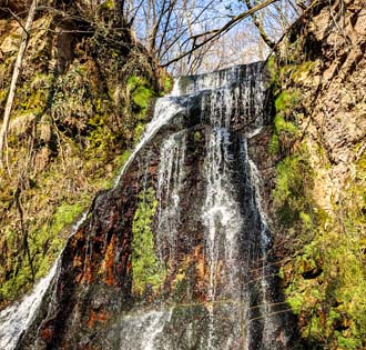
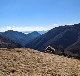
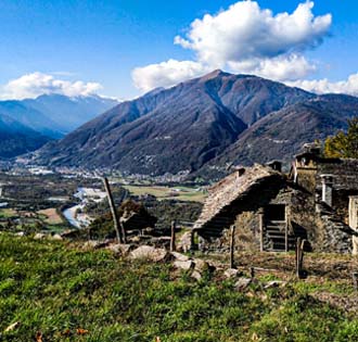
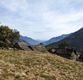
Each valley has its own peculiarity, each one to be discovered!
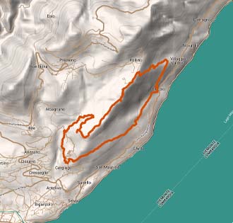
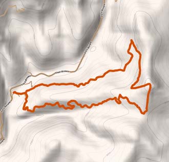
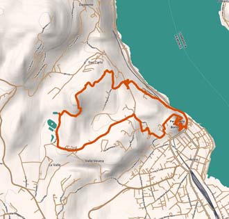
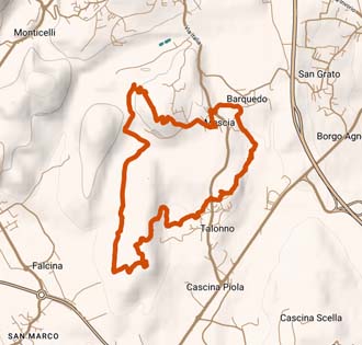
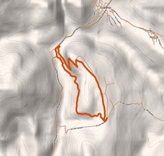
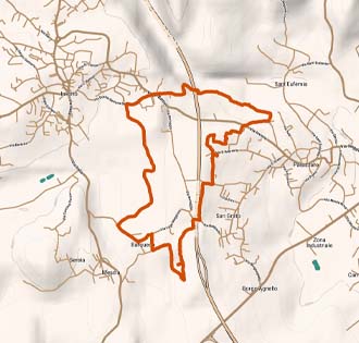
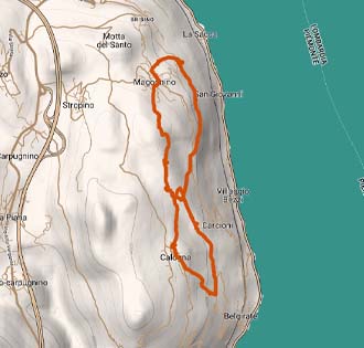
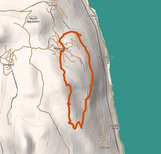
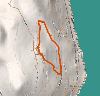
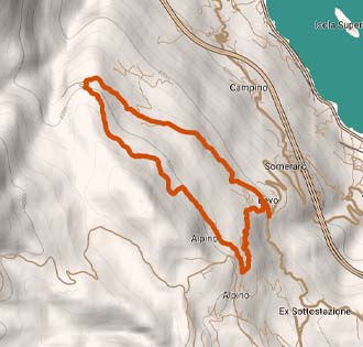
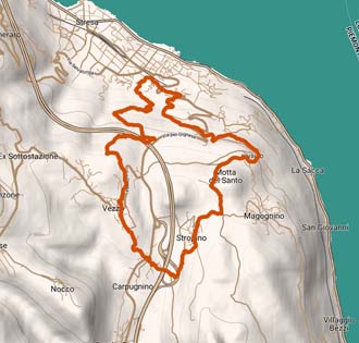
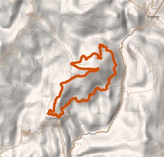
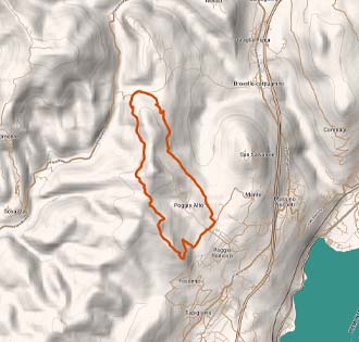
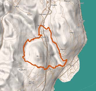
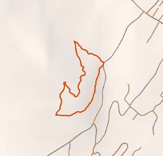
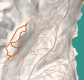
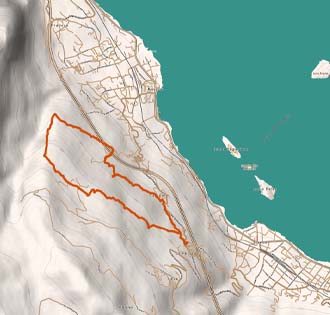
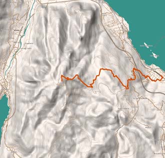
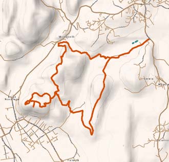
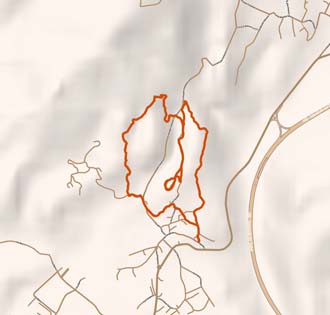
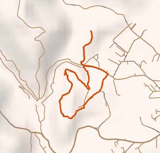
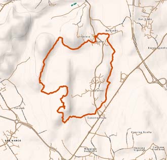
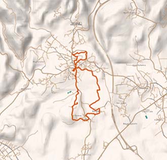
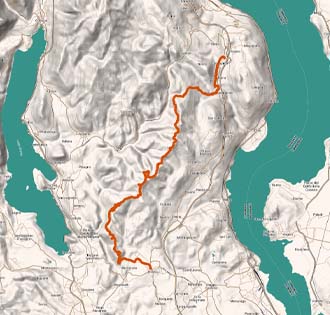
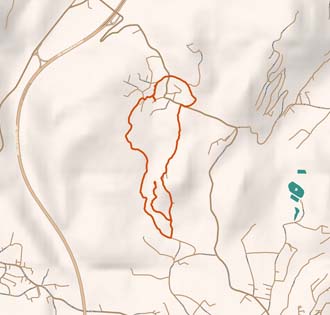
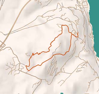
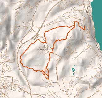
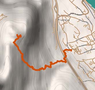
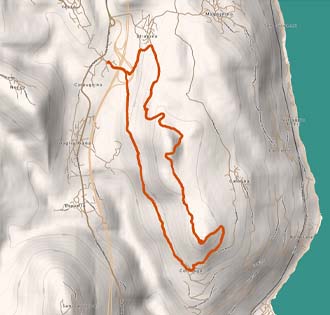
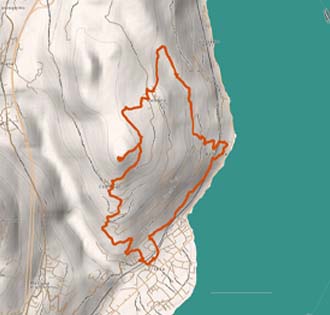
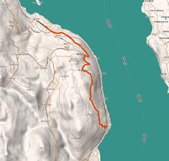
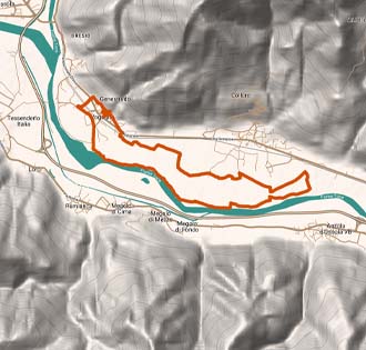
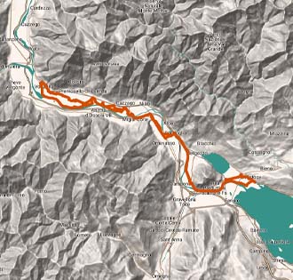
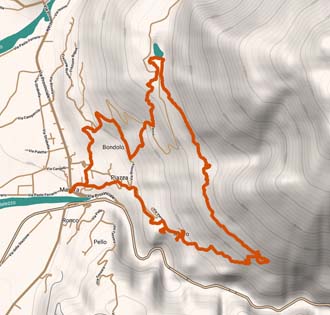
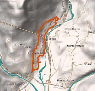
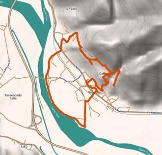
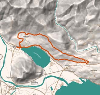
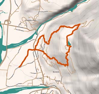
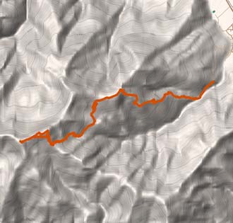
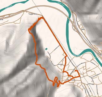
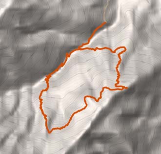
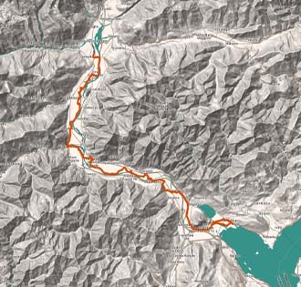
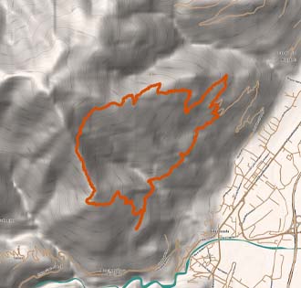
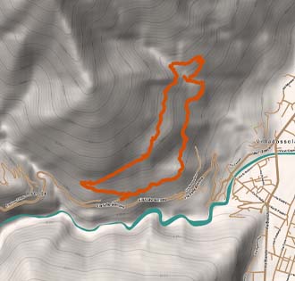
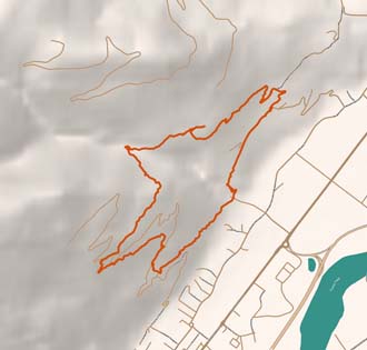
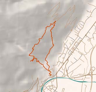
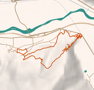
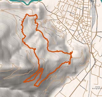
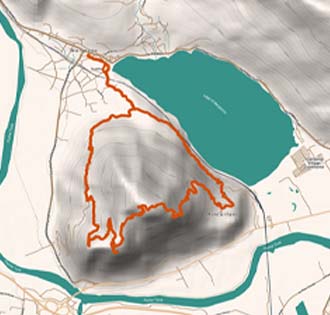
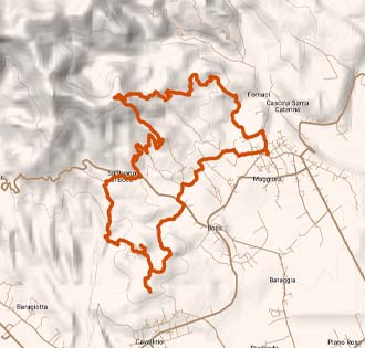
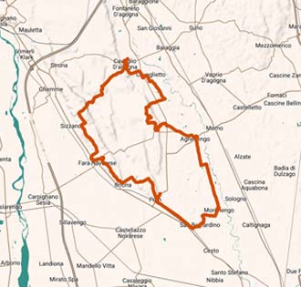
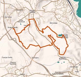
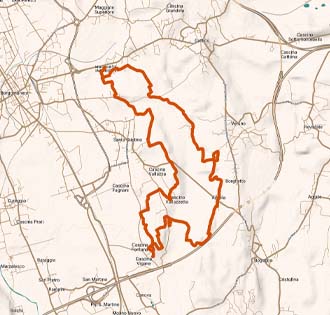
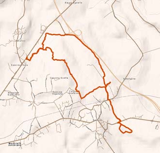
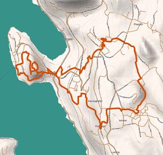
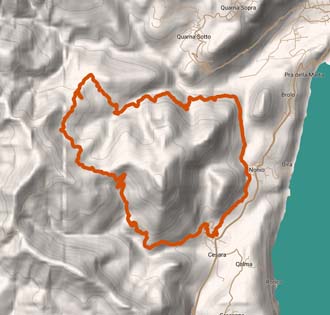
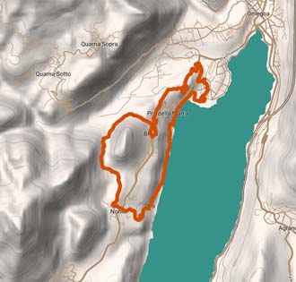
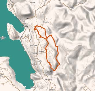
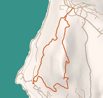
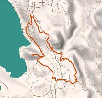
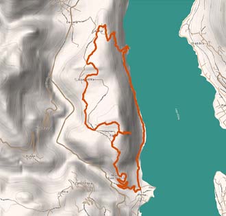
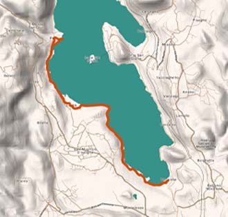
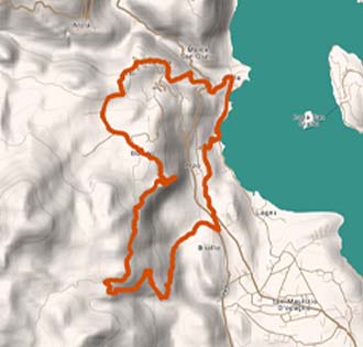
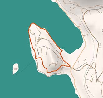
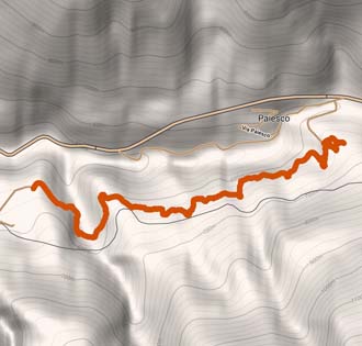
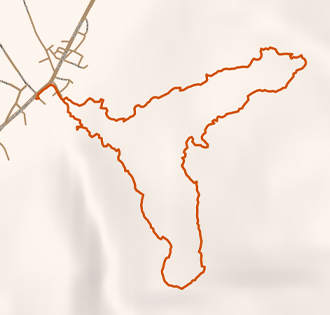
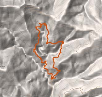
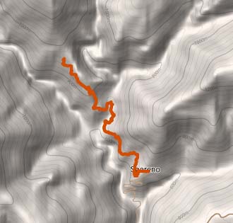
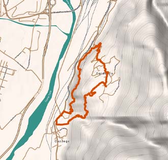
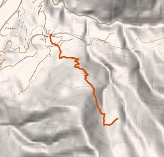
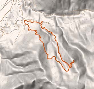
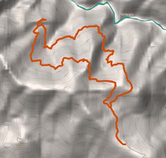
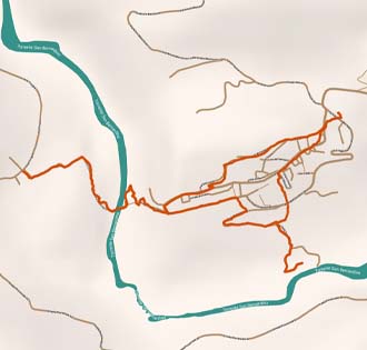
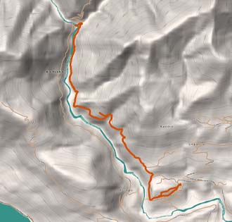
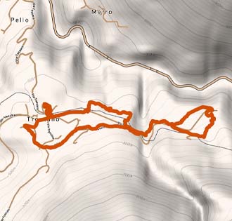
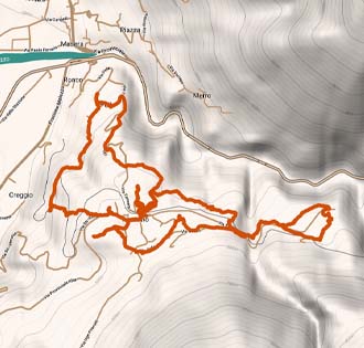
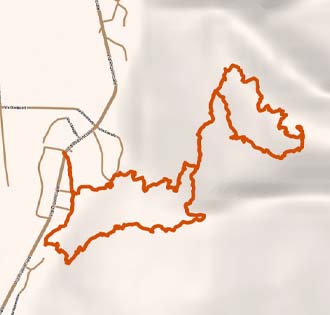
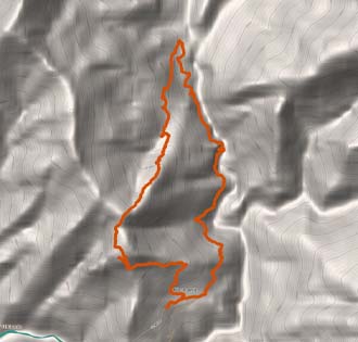
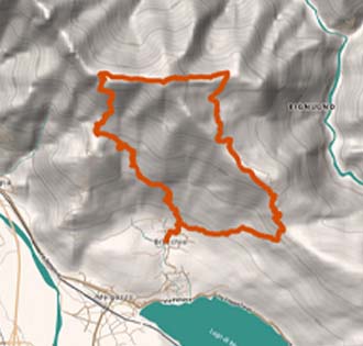
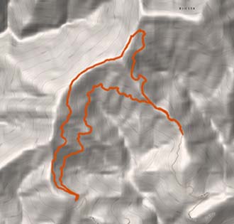
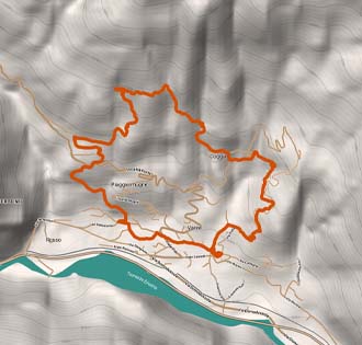
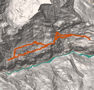
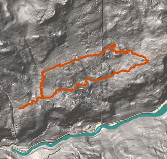
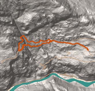
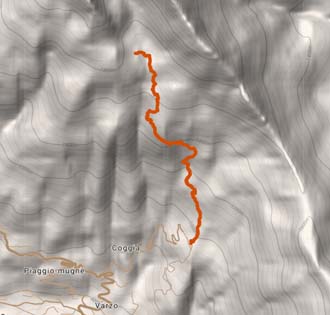
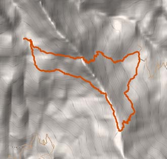
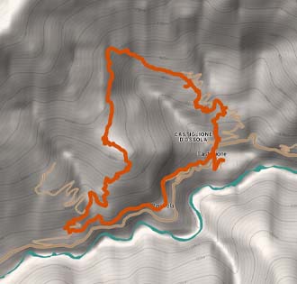
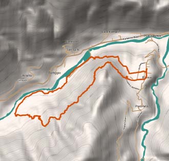
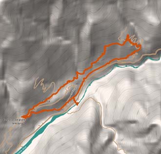
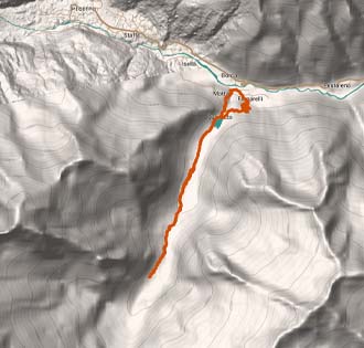
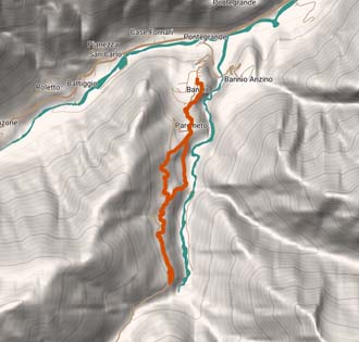
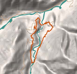
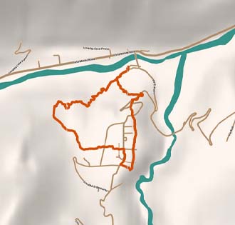
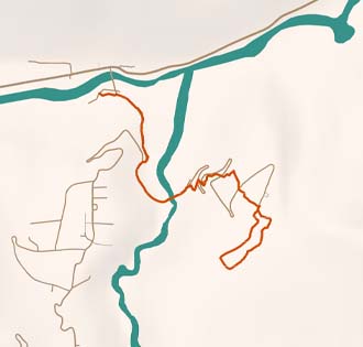
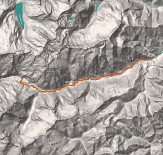
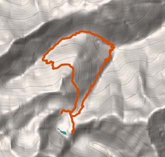
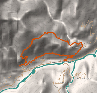
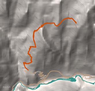
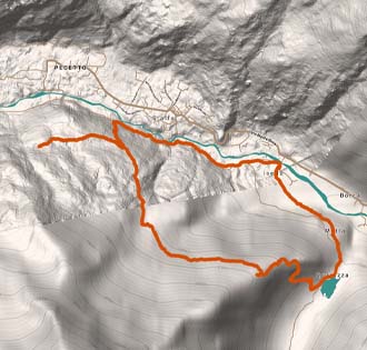
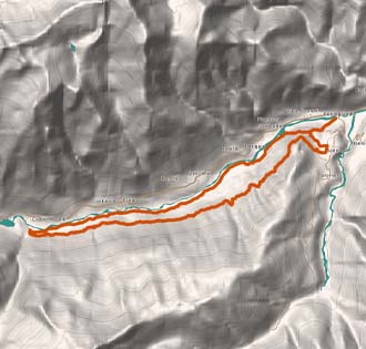
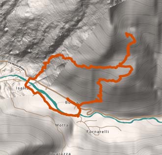
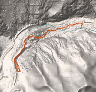
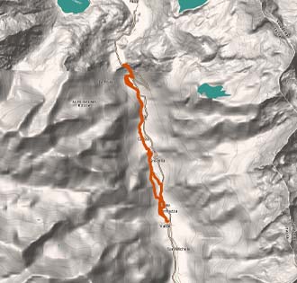
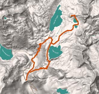
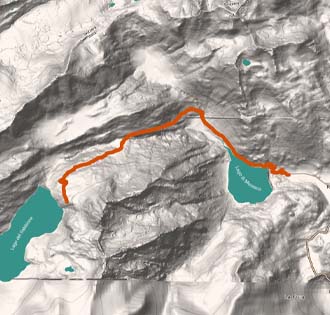
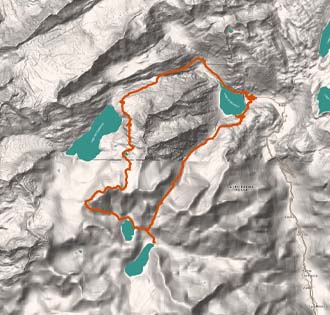
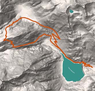
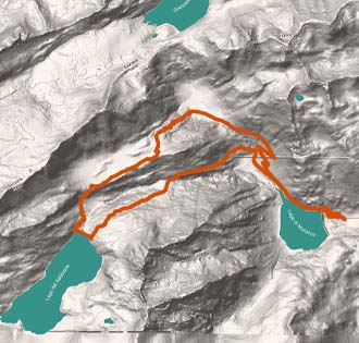
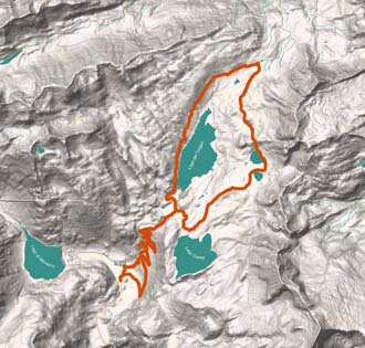
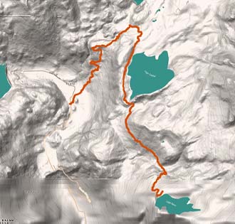
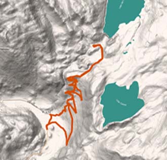
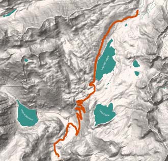
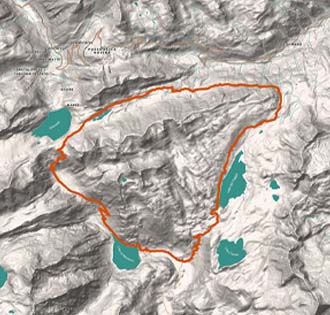
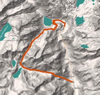
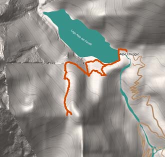
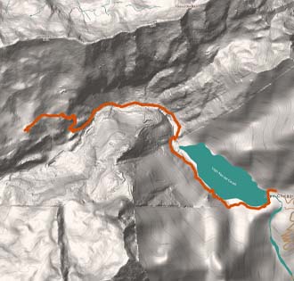
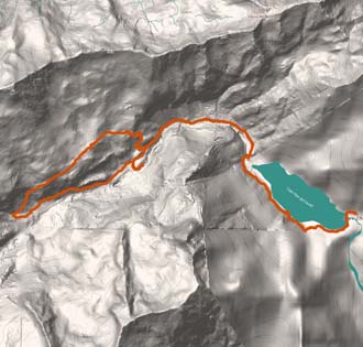
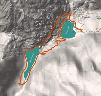
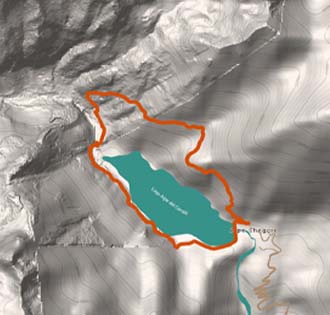
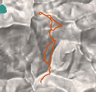
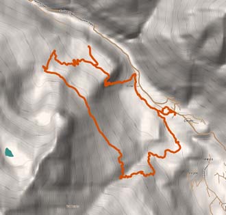
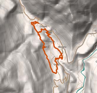
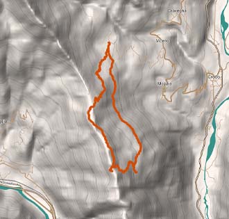
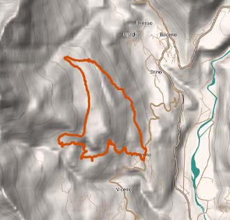
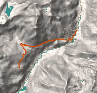
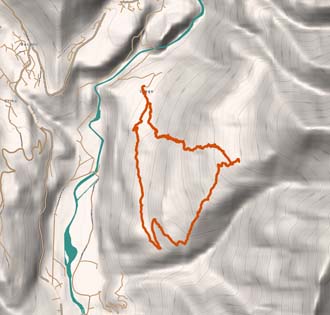
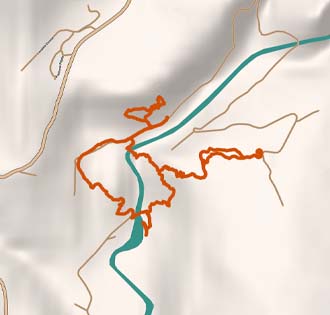
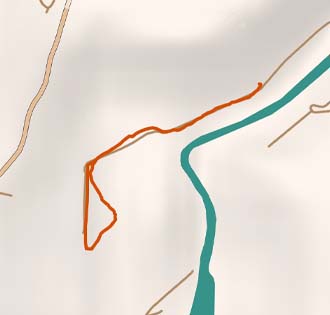
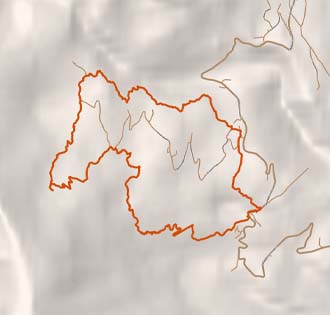
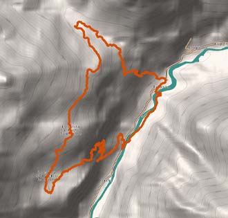
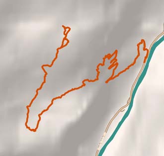
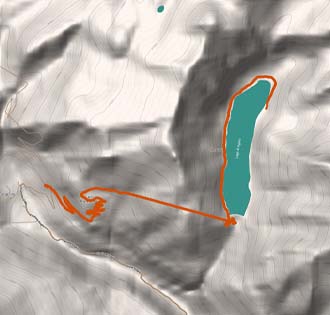
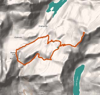
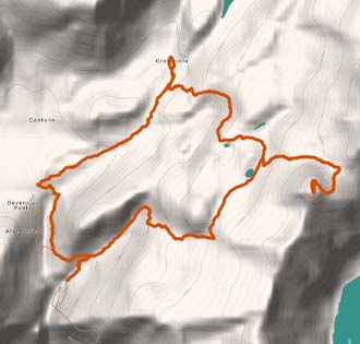
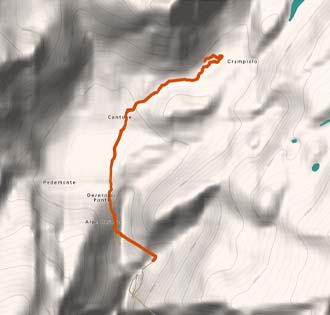
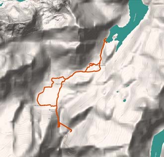
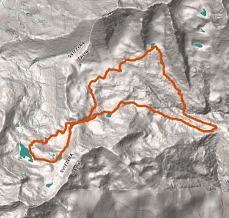
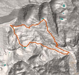
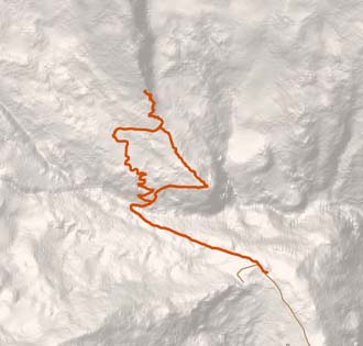
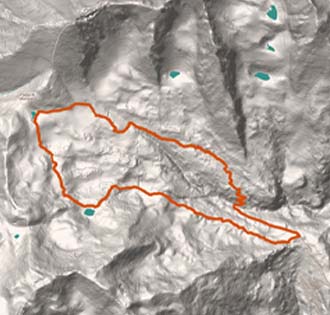
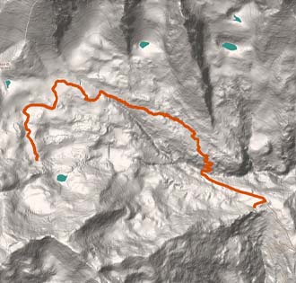
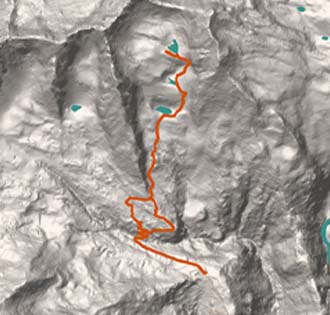
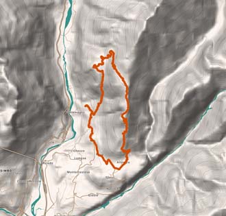
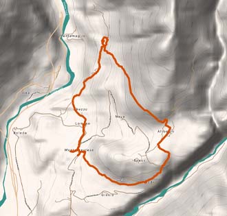
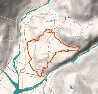
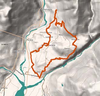
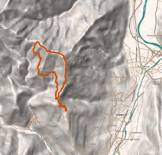
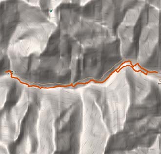
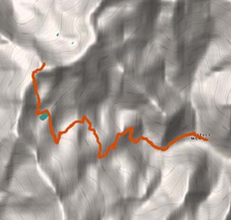
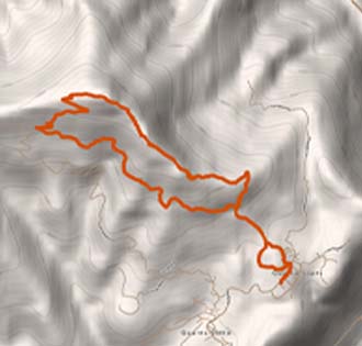
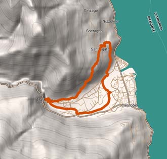
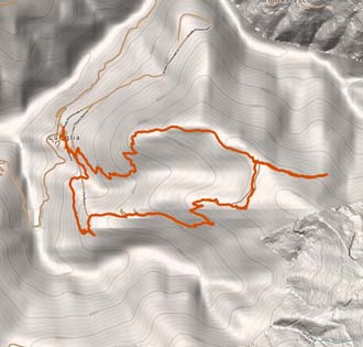
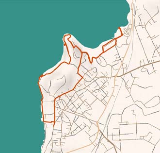
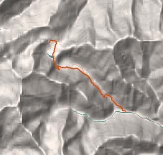
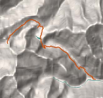
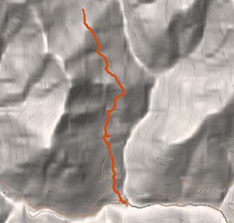
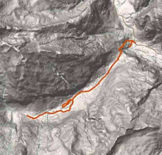
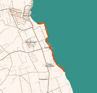
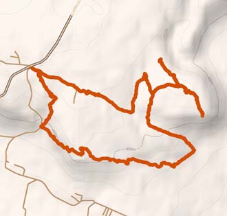
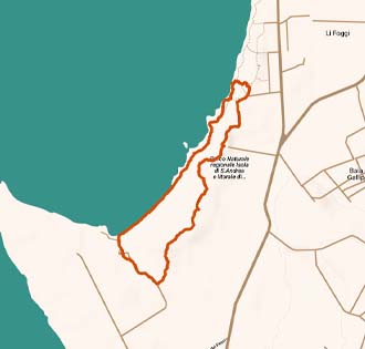
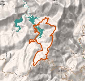
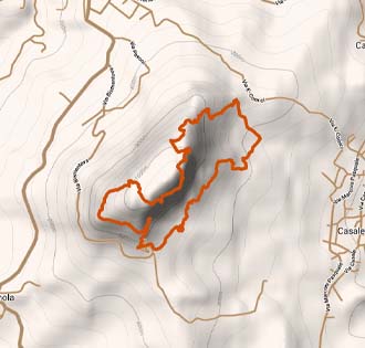
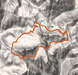
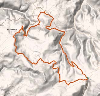
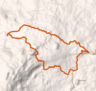
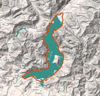
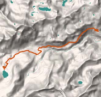
For every track ITINERARIUM® offers freely all the info needed to cover it: its lenght, its height, its time, the trail's direction, the elevation profile chart, the trail map, a link to Google Maps to reach the parking and the trail's start, and the GPX track to easily follow the itinerary directly from your smartphone!
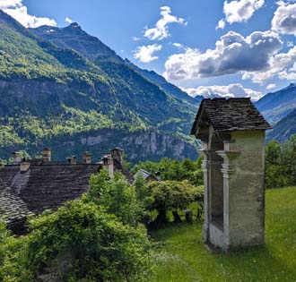
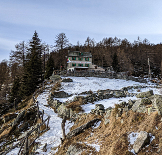
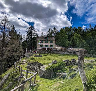
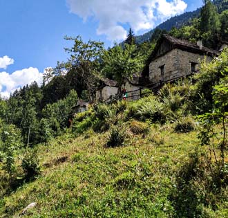
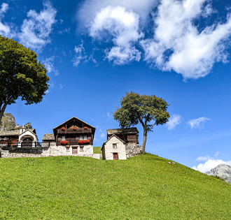
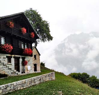
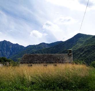
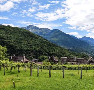
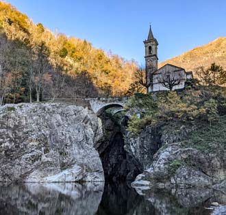
Here you also find all usueful info about where to eat along the trail, where to sleep, where to buy local products and where to rent your equipment.
CAI (Italian Alpine Club) has classified the trails with a grade of difficulty. On this site you can find trails of grade T, E and EE.
ITINERARIUM® presents a collection of trails done by two mountain enthusiasts, it's not managed by alpine guides and doesn't want to take their duty. So, the trails hereby present are not meant to be suggested, organized, tested and safe.
WARNING: trekking is not like walking! If you can't overcame a passage, go back!
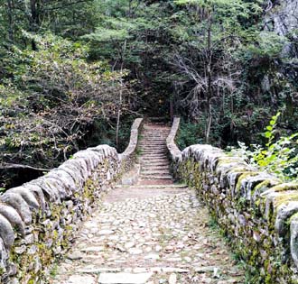
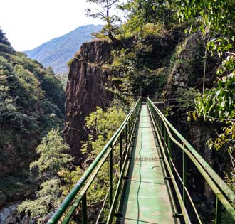
Some of the tracks presented here are set along mountain trails where some passages may require holding to ropes or climbing short ladders, and may have exposed passages without safety protections. These tracts can be a serious danger if faced without the right equipment, awareness and physical condition.
ITINERARIUM® has no responsibility regarding the tracks presented here, their dangerousness, accessibility, praticability and safety. Who decides to take these tracks does it at their own risk.
This site is constantly being updated, don't miss the new trails! Visit us again and subscribe our newsletter
ITINERARIUM® offers a collection, constantly growing, of the best trekking in Ossola, the best trekking of Lago Maggiore and the best hikes of Lake Orta and of Lake Mergozzo.
The Ossola valleys and the Vergante hills offer amazing trails suitable for everyone: walks for families, trails for trekking lovers, long hikes and traverses, naturalistic tracks for photography enthusiasts and MTB and ebike trails.
Each valley has its own peculiarity, each one to be discovered!
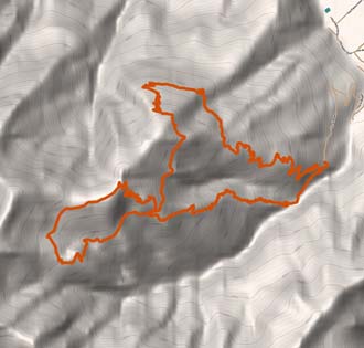
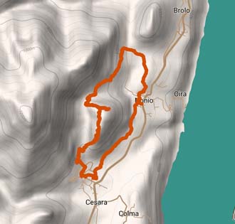
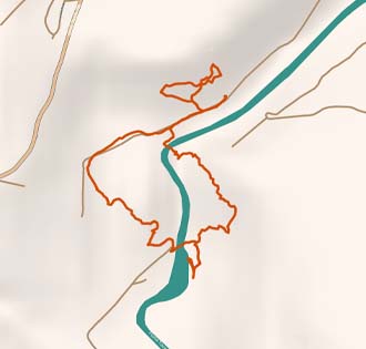
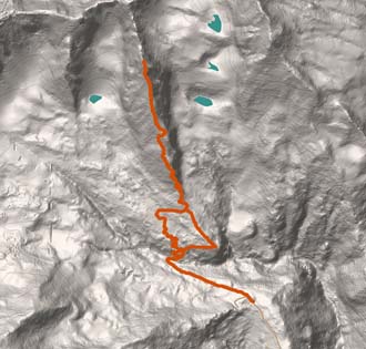
For every track ITINERARIUM® offers freely a set of information: its lenght, its height, its time, the trail's direction, the elevation profile chart, the trail map, a link to Google Maps to reach the parking and the trail's start, and the GPX track to easily follow the itinerary directly from your smartphone!
Here you also find all usueful info about where to eat along the trail, where to sleep, where to buy local products and where to rent specific equipment will be available.
CAI (Italian Alpine Club) has classified the trails with a grade of difficulty. On this site you can find trails of grade T, E and EE.
ITINERARIUM® presents a collection of trails done by two mountain enthusiasts, it's not managed by alpine guides and doesn't want to take their duty. So, the trails hereby present are not meant to be suggested, organized, tested and safe.
WARNING: trekking is not like walking! If you can't overcame a passage, go back!
Some of the tracks presented here are set along mountain trails where some passages may require holding to ropes or climbing short ladders, and may have exposed passages without safety protections. These tracts can be a serious danger if faced without the right equipment, awareness and physical condition.
ITINERARIUM® has no responsibility regarding the tracks presented here, their dangerousness, accessibility, praticability and safety. Who decides to take these tracks does it at their own risk.
This site uses cookies. You can read the cookie policy and our privacy policy.
By closing this popup you accept them.