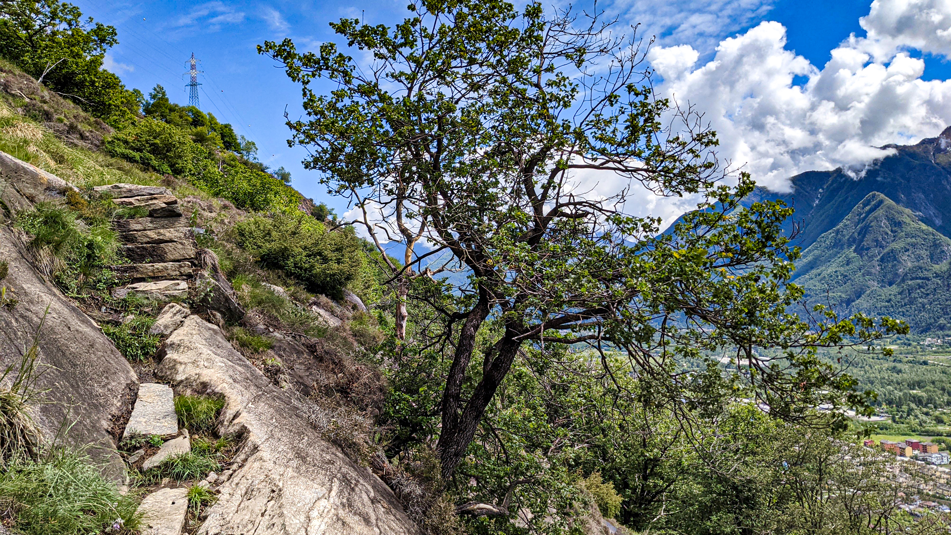
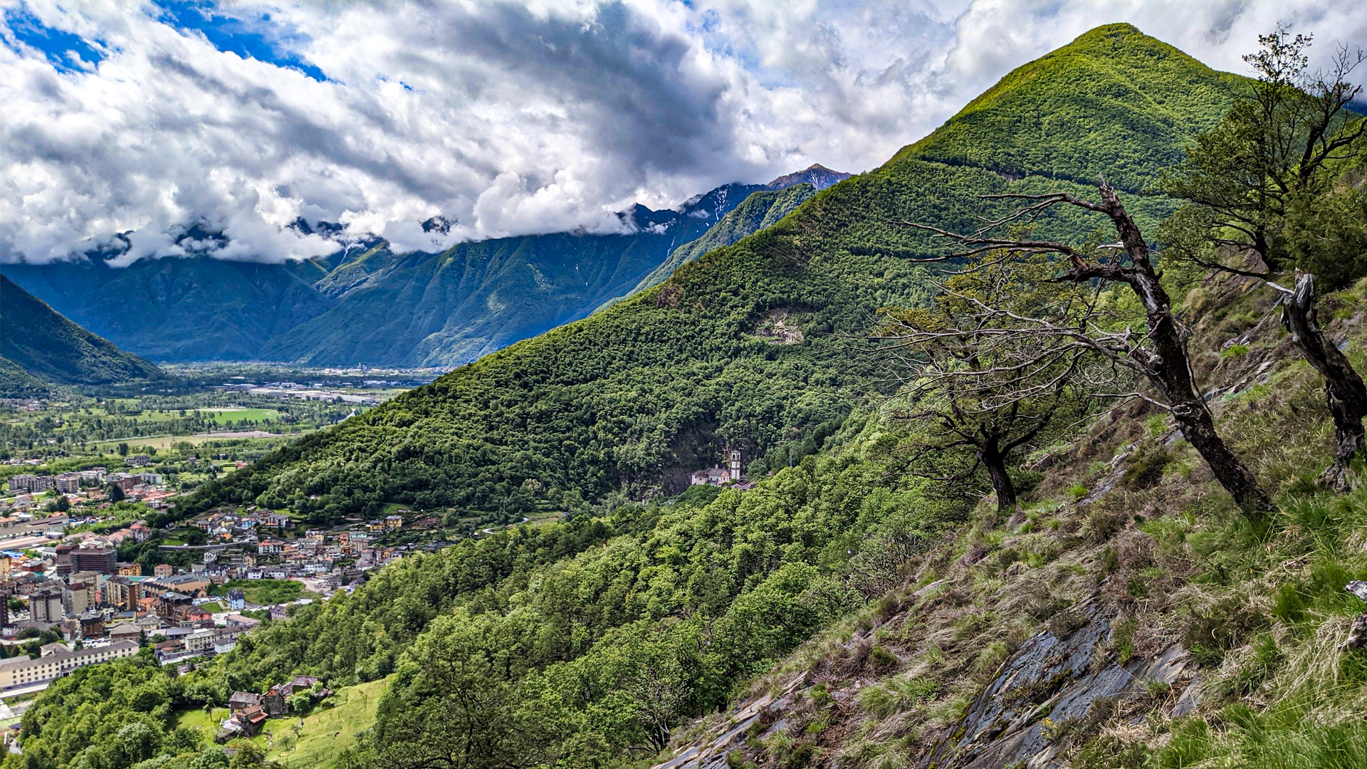
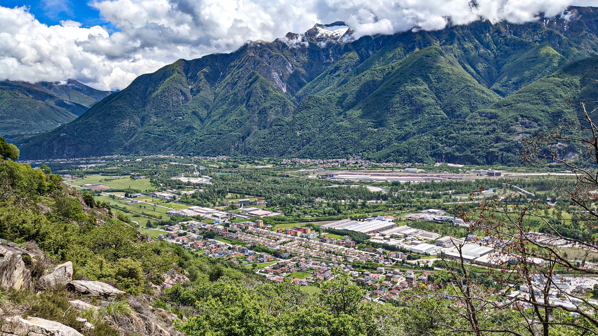
From Gaggio, one of Villadossola’s hamlets, starts the itinerary that leads to the discovery of ancient pastures, rich in history. The trail winds up along the side of Moncucco where staircases made of stone are set among step notches carved into the rock. From this point the landscape opens on the whole Toce’s plain where the rational structures of SISMA Village can be clearly seen, designed by Architect Vietti Violi in 1938. It’s a complex of working-class houses of innovative conception, for the time in fact it was a unique building solution, that kept in mind the context where it was placed, using local materials and effective spatial solutions.
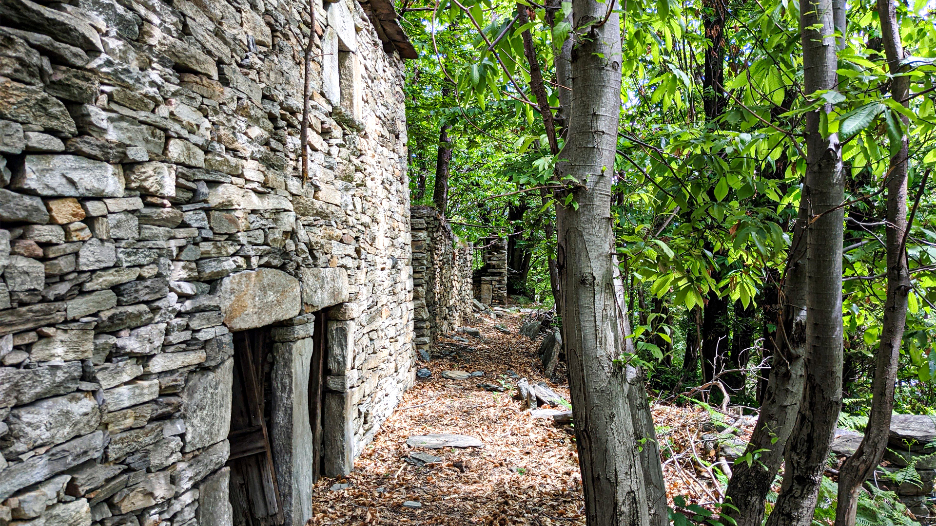
The itinerary proceeds in the woods, towards Munzel alp: an ancient town, well preserved, where the typical stone houses with their mezzaluna architraves were once surrounded by vineyards, set on terracings still visible today. Nearby the town there is a dolmen that should indicate, hypothetically, the presence of a prehistoric tomb. A bit above there is the trail that leads to Rio Valle Dell’inferno to admire the waterfall and the force of the water that shaped the rock. Getting back on the path, it goes towards Colla Superiore alp, Poscio alp and Maianco Inferiore alp until the town of Tappia following the "hiking between nature and spirituality". This path develops halfway on the slope and links the Sacro Monte Calvario of Domodossola, UNESCO Human Heritage, with the “Via delle Cappelle” (way of chapels) of Saas-Fee.

zur Karte gehen


 Streckenlänge:
 Gehzeit:
 Höhenunterschied:
 mind. und max. Höhenmeter:
 Art der Tour:
 Oberfläche:
 Panorama:
 Netzvempfang:
 Im Winter:
 Mit dem Fahrrad:


