From your phone's store, download an App to view the GPX tracks.
Some Apps, like Komoot and Wikiloc have a navigation function (upon payment).


 Click here to watch the video!


 https://www.itinerarium.it/hikes/120/villa-aprilia-und-barancasee


 Length:
 Our time:
 Total climb:
 Min and max height:
 Type of track:
 Surface:
 Panorama:
 Cell network coverage:
 Traced in winter:
 Traced by bike:
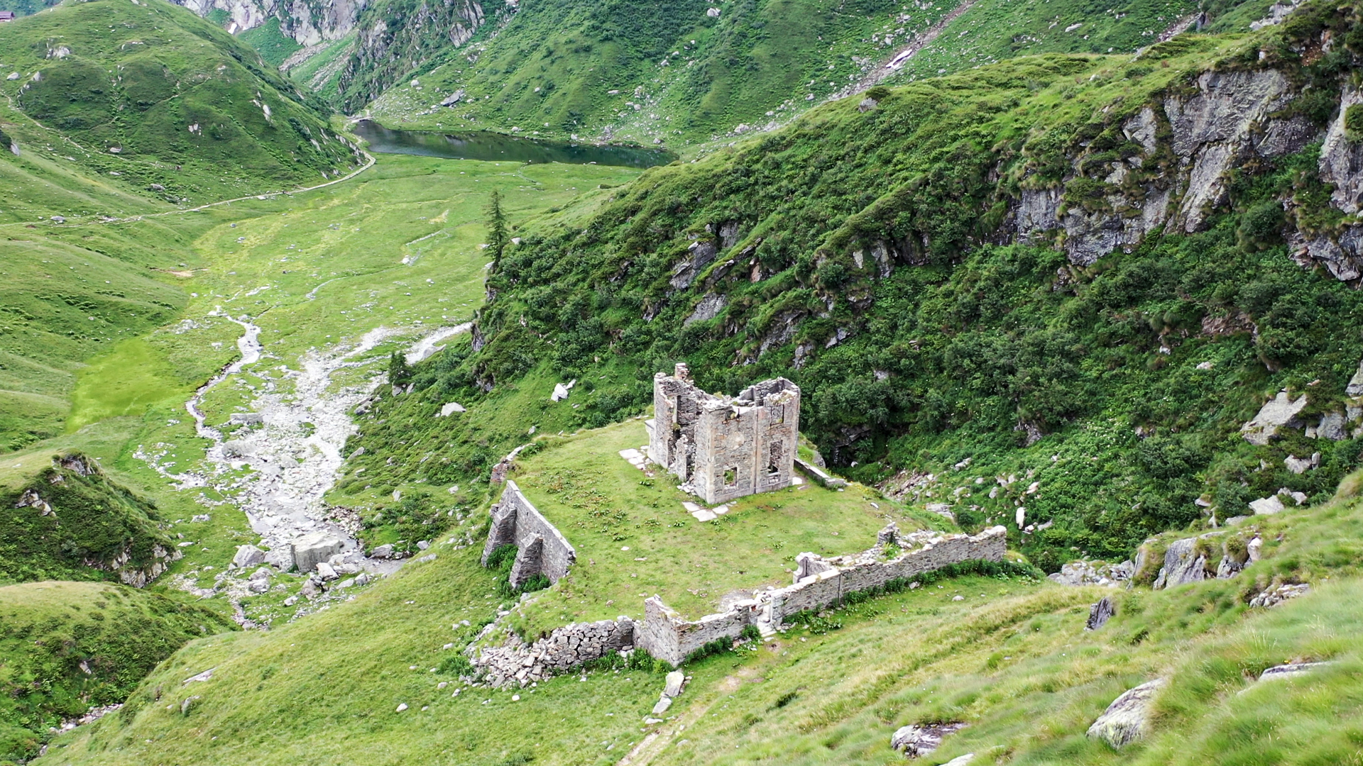
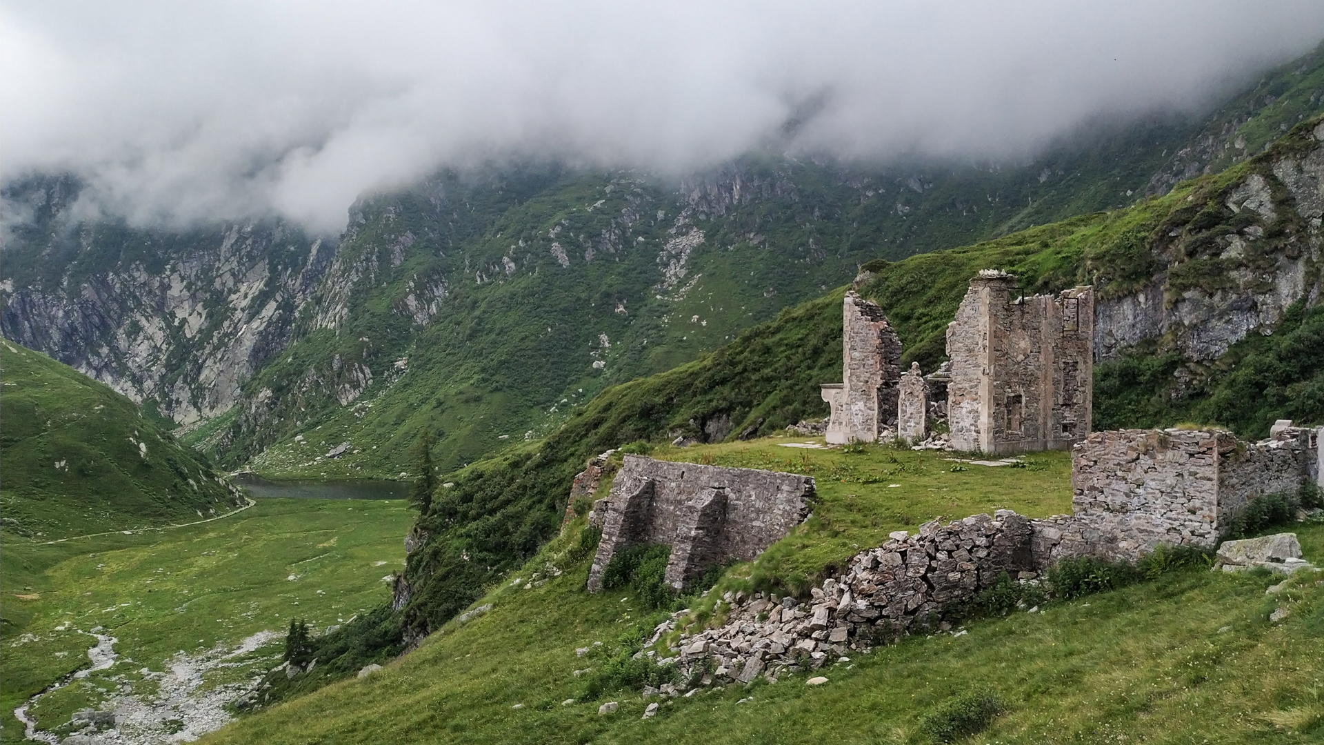
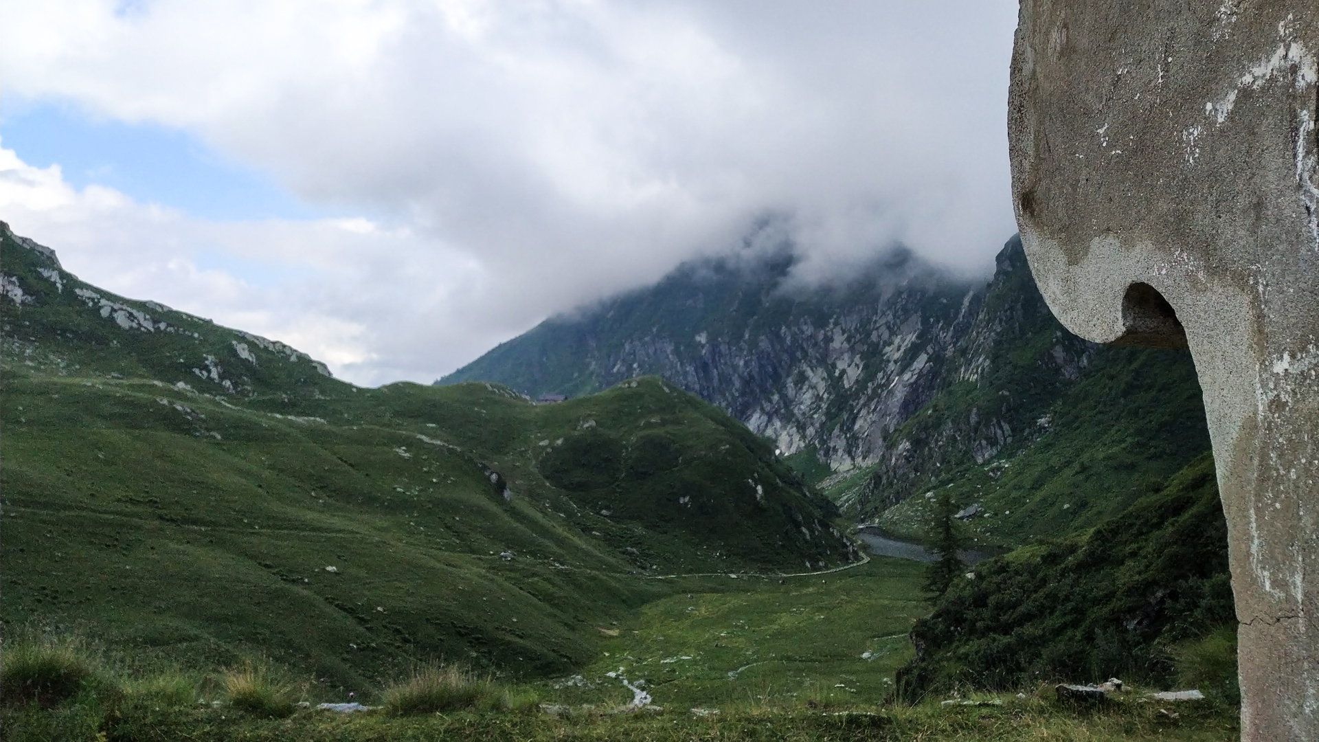
The trail follows the old paved mule track created in 1887 that winds along Mastellone creek until the plain where Lake Baranca has found its space. This verdant basin is surrounded by the high peaks and pastures of Selle alp, where a group of lodges can be found, together with the remains of the eclectic Villa Aprilia.
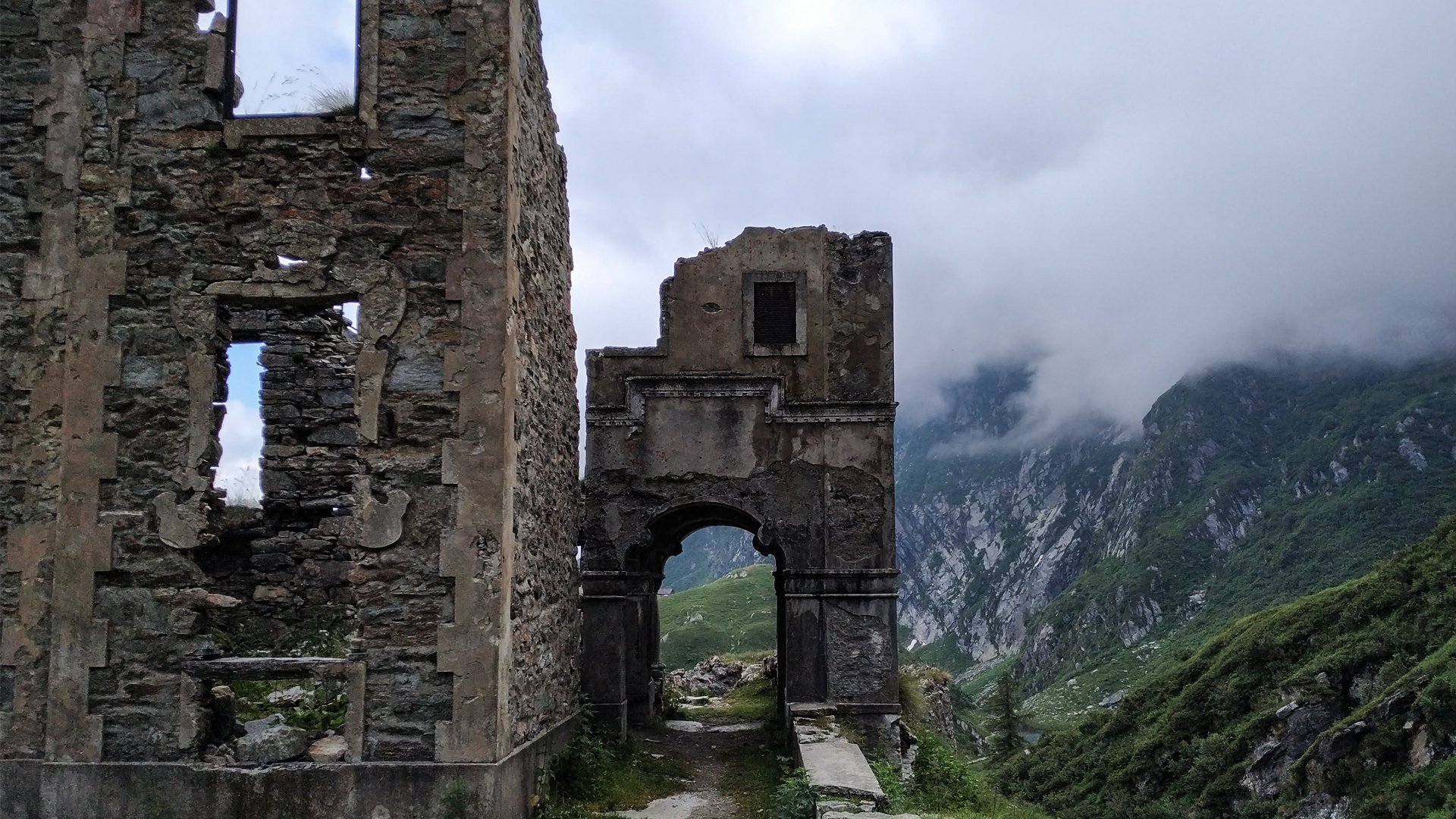
Colle Baranca, as well as many other places on Ossola mountains, is rich in history. These places, together with the hard work of shepherds, have seen the splendor of the first years of ‘900, when this untainted nature became a place of vacation for the middle-class of Turin. Among all other buildings, the ruins of Villa Aprilia stand out, latched on a promontory right above the grassy plain that houses Lake Baranca. The architect Costantino Gilodi, from Borgosesia, known as one of the most symbolic representatives of Belle Époque in Valsesia, built the Villa in 1908. Later it was bought by the Lancia family, who named it “Aprilia” as the famous model of their car company.
During the Second World War Colle Baranca, one of the main escaping routes to Switzerland, became the scenery of a fight between partisan squads and fascist militia. During this fight, the latter burnt down the Villa, which lays abandoned since then.