From your phone's store, download an App to view the GPX tracks.
Some Apps, like Komoot and Wikiloc have a navigation function (upon payment).


 Click here to watch the video!


 https://www.itinerarium.it/hikes/134/hike-to-briasca-alp-from-the-mills-of-rio-graglia


 Length:
 Our time:
 Total climb:
 Min and max height:
 Type of track:
 Surface:
 Panorama:
 Cell network coverage:
 Traced in winter:
 Traced by bike:
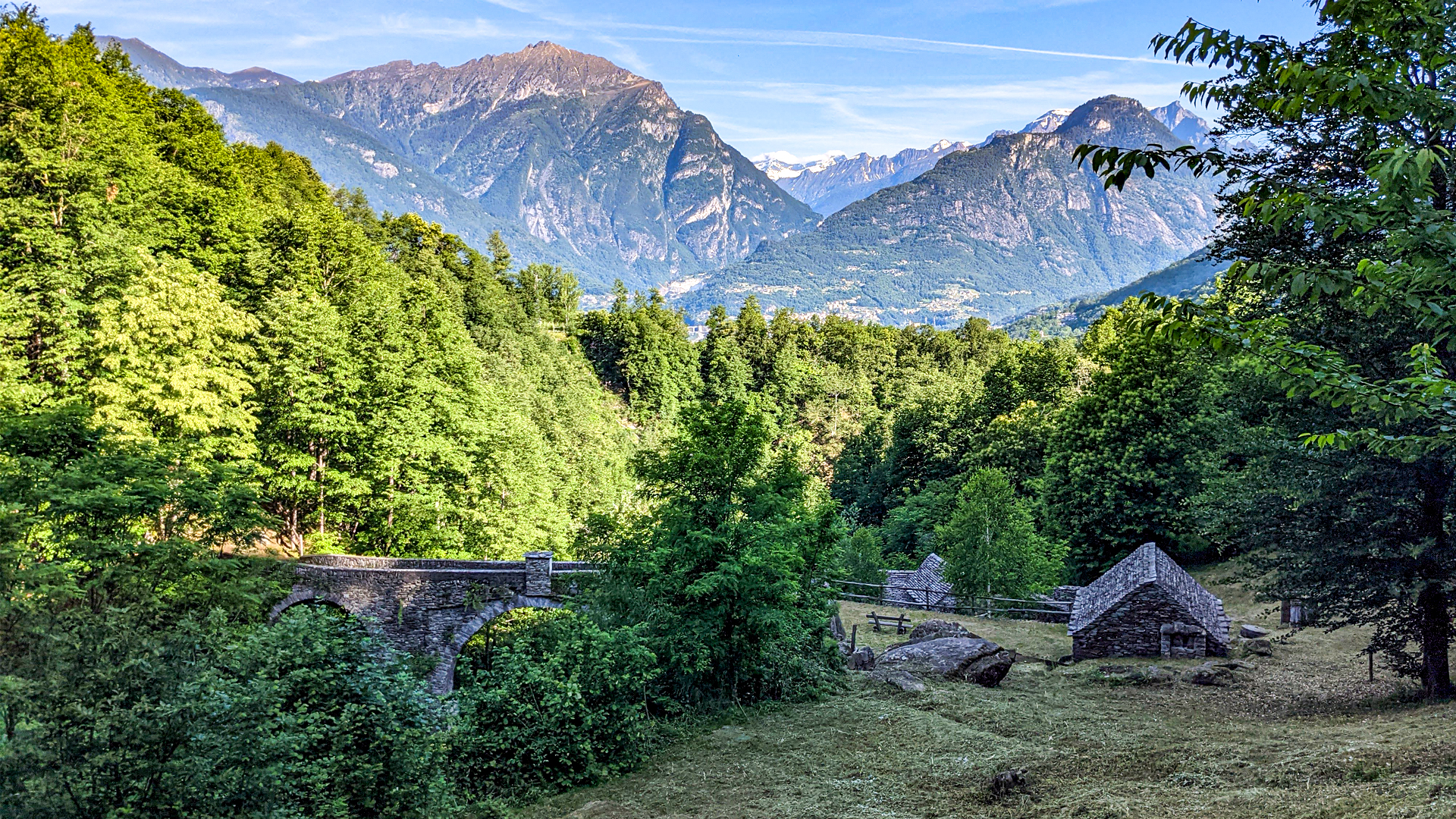
The itinerary starts from the Vigezzina - Centovallina station in Trontanto, reaches the area of mills and goes up on the slope of the mountain passing by Rio Graglia.
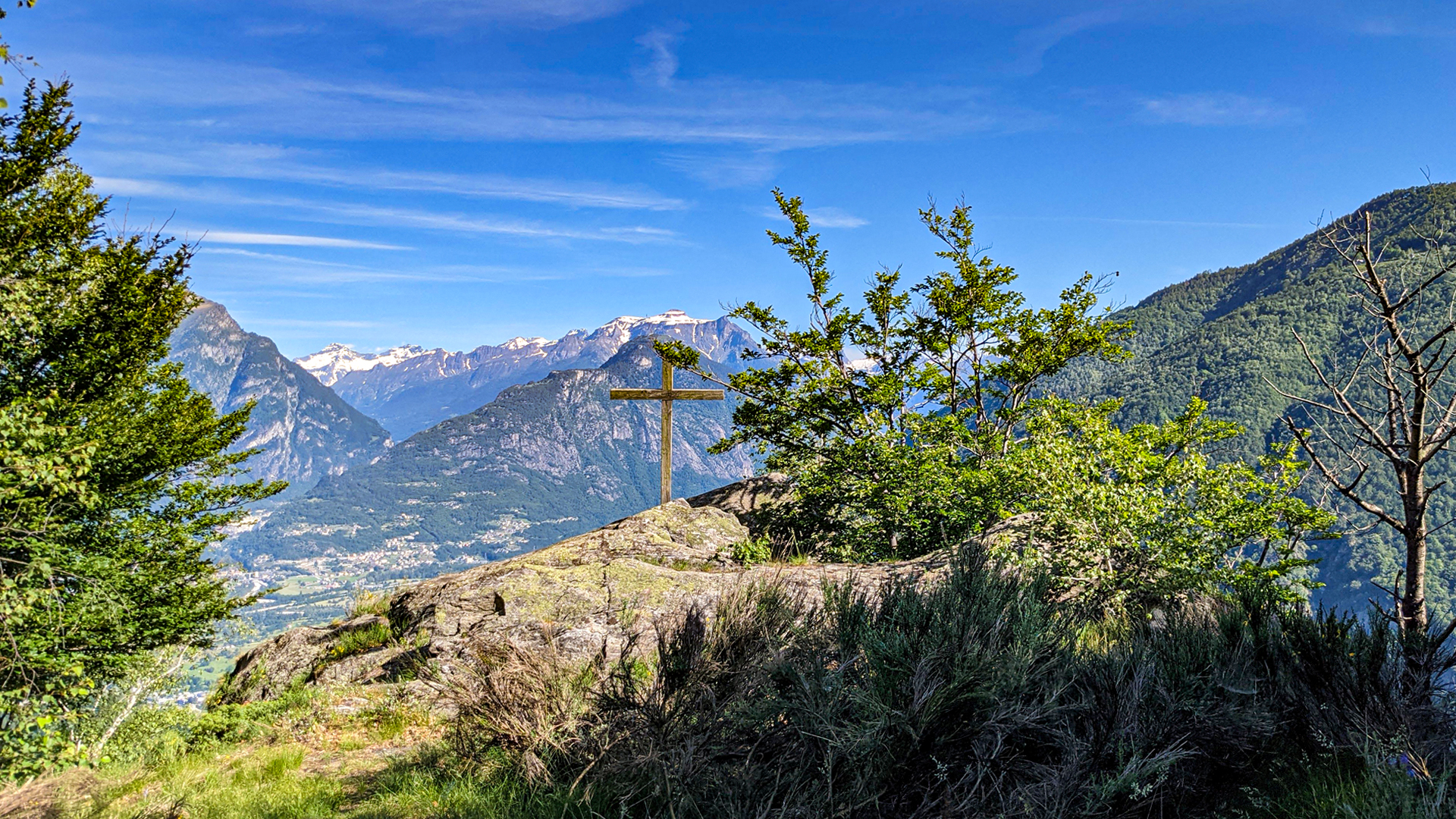
The trail winds up among the woods reaching the Briasca cross: a cross placed on a large rock from where the landscape on the surrounding mountains can be seen.
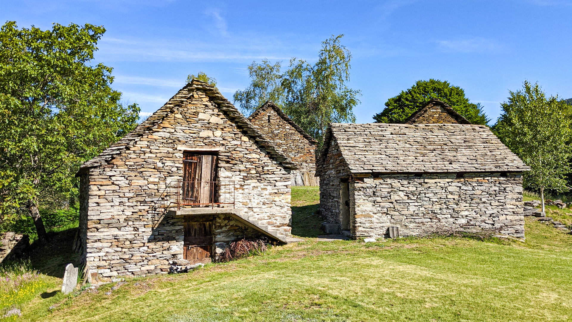
Here, where the slope gets milder, there is Briasca alp which represented the first alp above Trontano town. Today, just like in the past, the alp is embracing the mountain activity during summer time: the slopes, the fresh air and the meadows are a great nourishment for cattles.
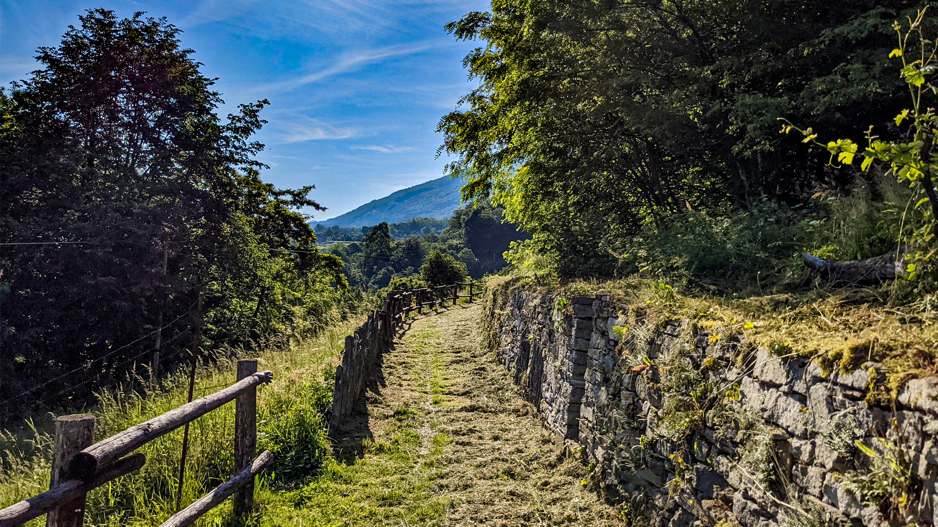
To go back down the same trail can be taken or, otherwise, one can go down along the forest road that reaches Verigo and follow the trail among the vineyards that reaches Trontano.