From your phone's store, download an App to view the GPX tracks.
Some Apps, like Komoot and Wikiloc have a navigation function (upon payment).


 Click here to watch the video!


 https://www.itinerarium.it/hikes/164/walk-along-the-trail-from-pontegrande-to-anzino


 Length:
 Our time:
 Total climb:
 Min and max height:
 Type of track:
 Surface:
 Panorama:
 Cell network coverage:
 Traced in winter:
 Traced by bike:
The itinerary nowadays connects the towns of Pontegrande and Anzino, once part of two different feuds.
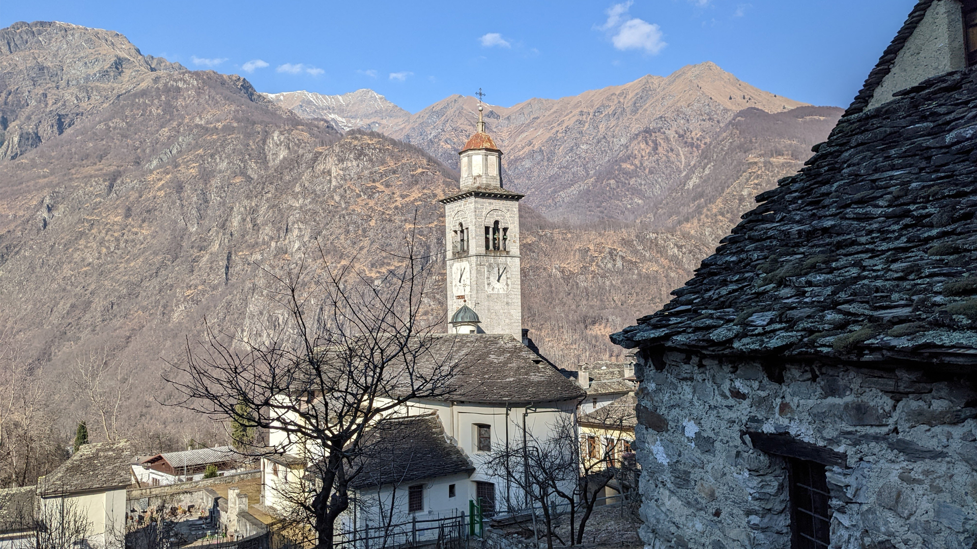
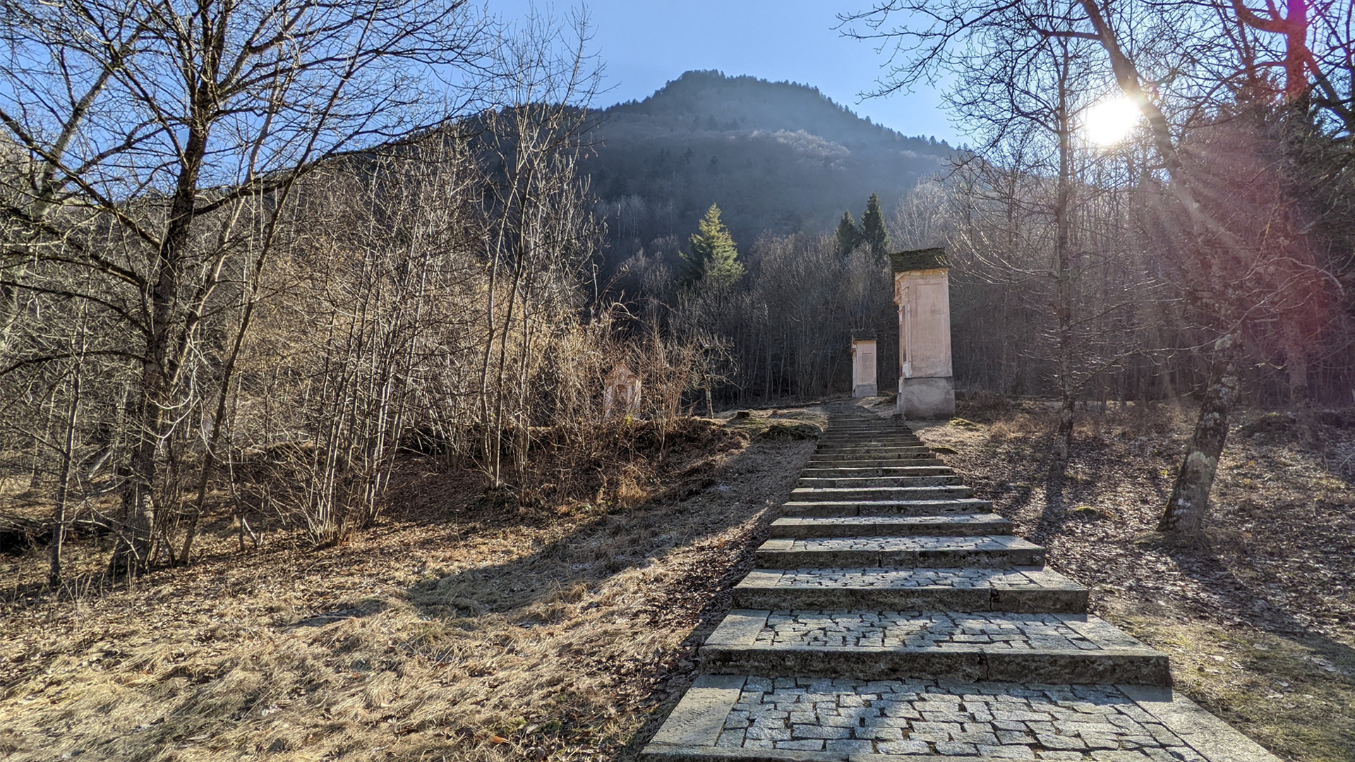
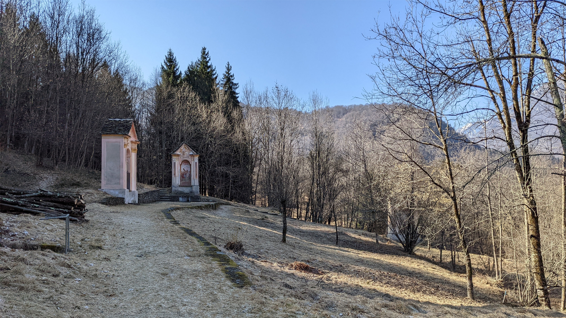
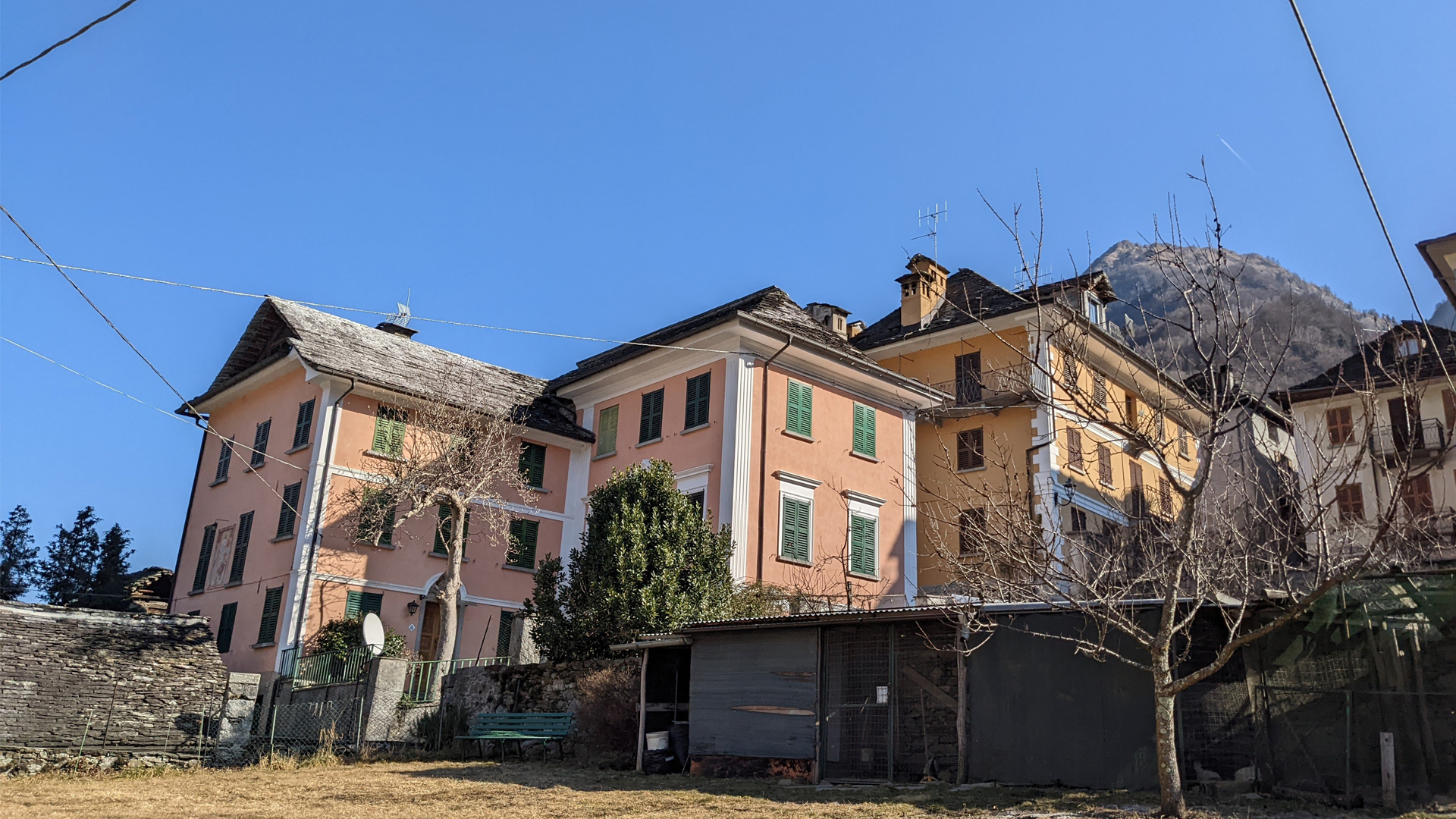
Pontegrande, which translates into “large bridge”, takes its name from the big five-arches bridge built in 1858, and has always been a reference point for Valle Anzasca and a mandatory pass to reach Macugnaga and the east face of Mount Rosa. In the hamlet Pioda, where the itinerary starts, there is the church of S.S. Pietro and Paolo built in 1670 on a giant glacial erratic carried by the glaciers and placed just above the river Anza. The path proceeds along the main entrance road to the town, later going deep into the woods along the mule track that leads to the particular and spectacular Via Crucis and to the church of San Antonio from Padova in the town of Anzino.
Anzino grows at the foot of Monte Scarpignano in Valle Olocchia and in the period of the Viscontis, when Valle Anzasca was divided into “degagne” managed by local consuls, it was part of the “degagna” of Civola (known today as San Carlo).