From your phone's store, download an App to view the GPX tracks.
Some Apps, like Komoot and Wikiloc have a navigation function (upon payment).


 Click here to watch the video!


 https://www.itinerarium.it/hikes/178/from-bannio-to-anzino-along-the-olocchia


 Length:
 Our time:
 Total climb:
 Min and max height:
 Type of track:
 Surface:
 Panorama:
 Cell network coverage:
 Traced in winter:
 Traced by bike:
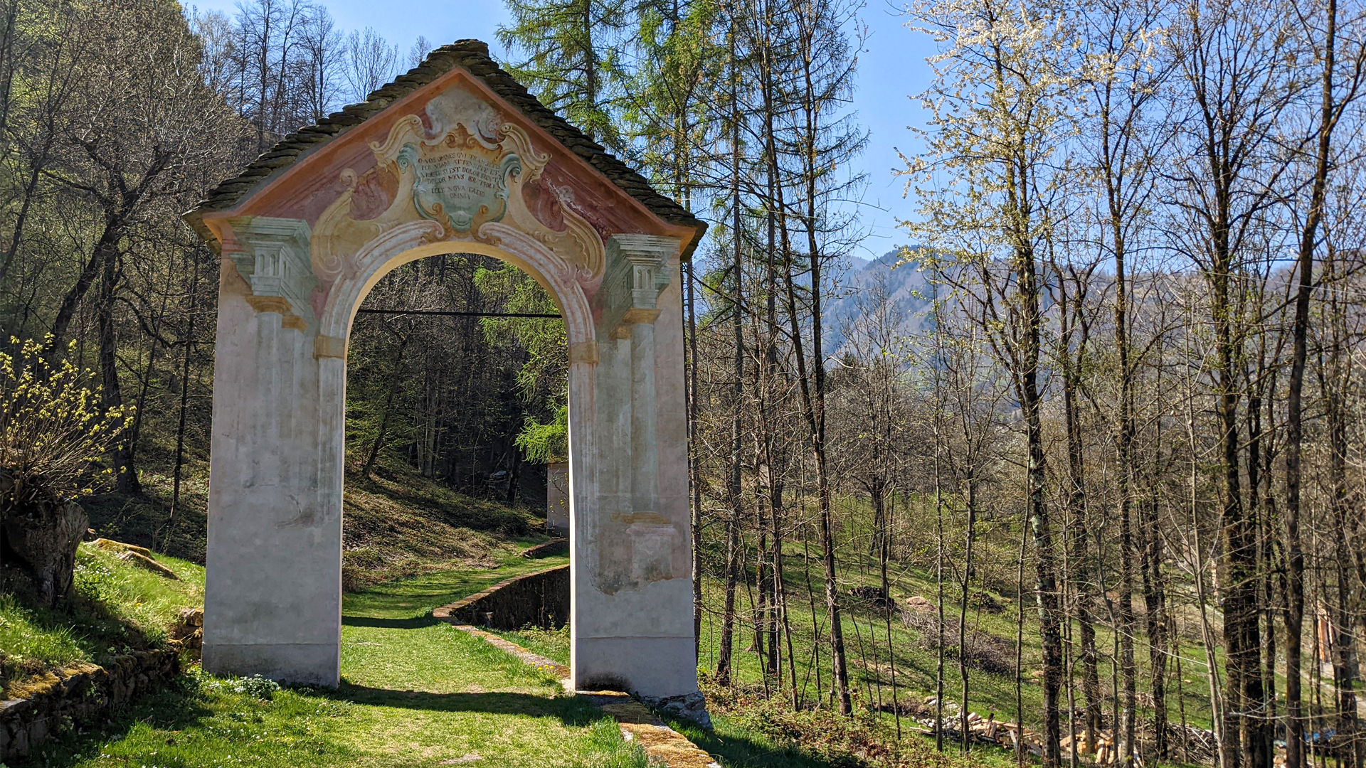
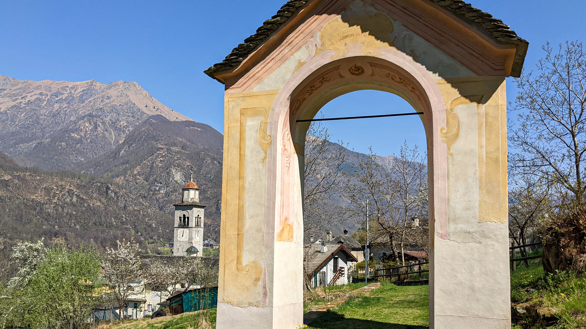
The itinerary connects the towns of Bannio and Anzino, united into a single municipality in 1928, following the national revisions of towns’ districts. The two towns are located on the two riverbanks of the Olocchia creek, one facing the other.
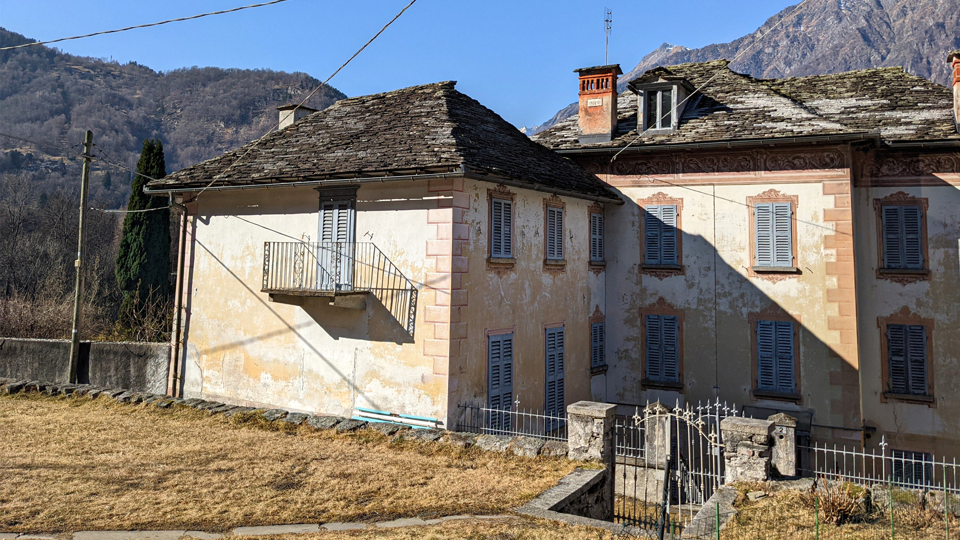
The hike starts from the evocative historic center of Bannio, with its rural and noble houses, and retraces the main road from where many alleys radiate, outlining the fish-bone-like city plan, typical in the Medieval era. Here are some of the houses of those who became rich by emigrating or by working in the mining businesses, very common in Valle Anzasca. This is why, among the narrow alleys, it’s possible to see large residences facing inner courtyards, with decorative elements, unusual in a mountain town!
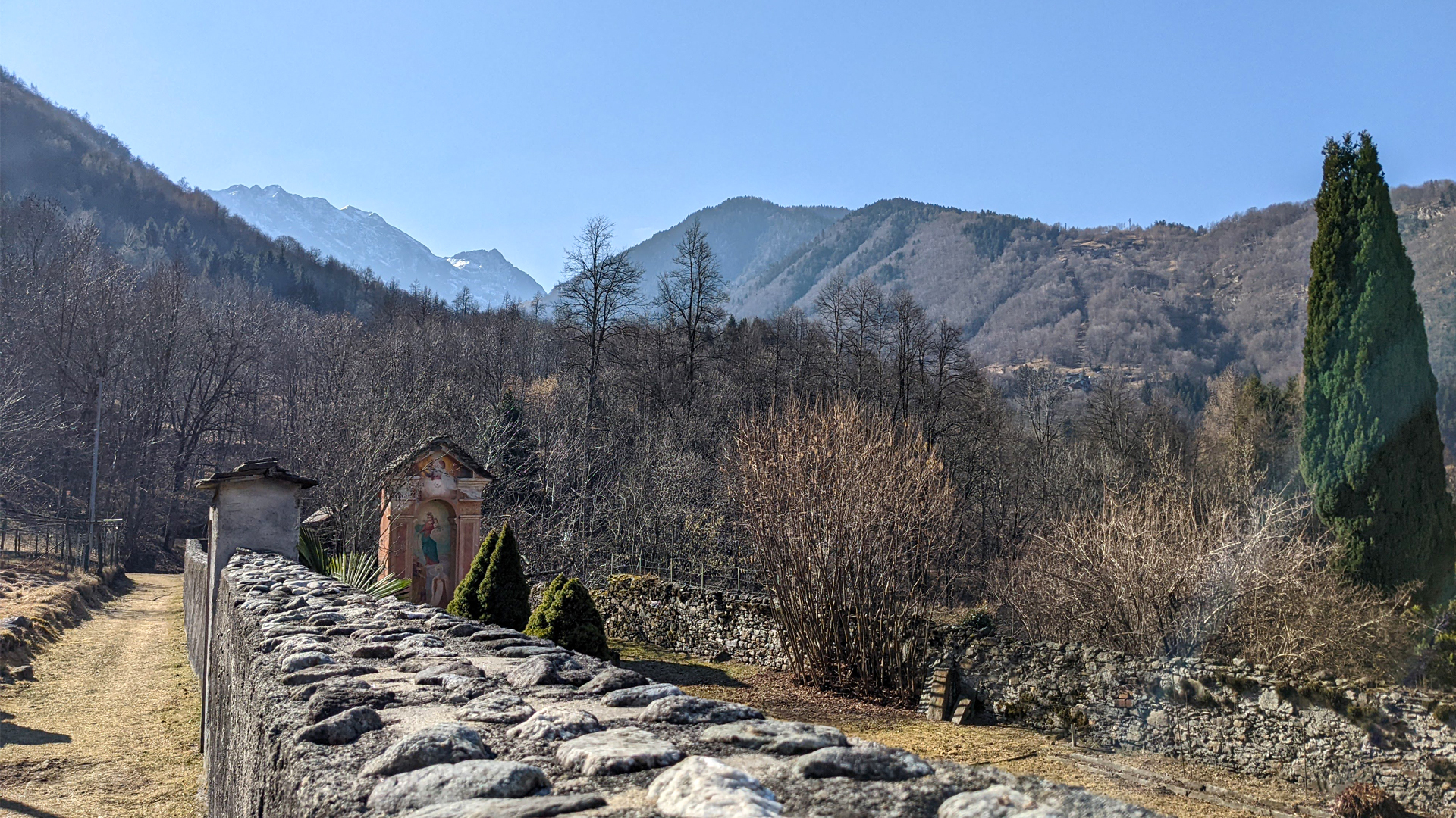
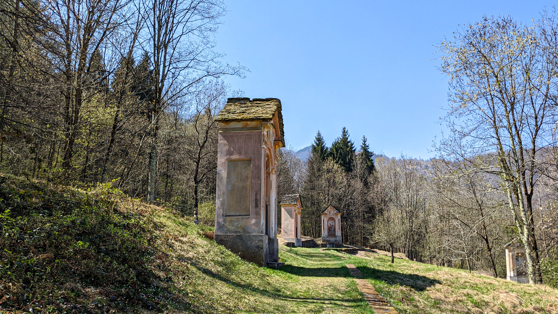
The trail proceeds along the mule track that leads to Pontegrande and twists and turns among the ancient streets of Anzino, crosses the towns of Riscillone, Valpiana and Parcineto, passing by the Olocchia creek.