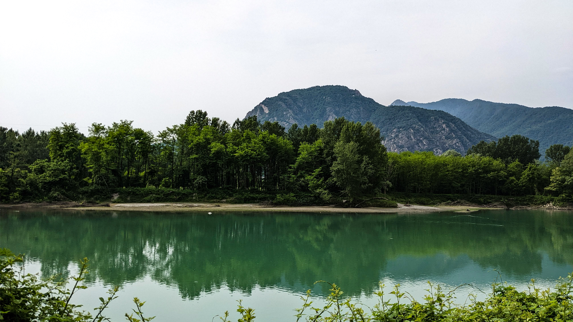
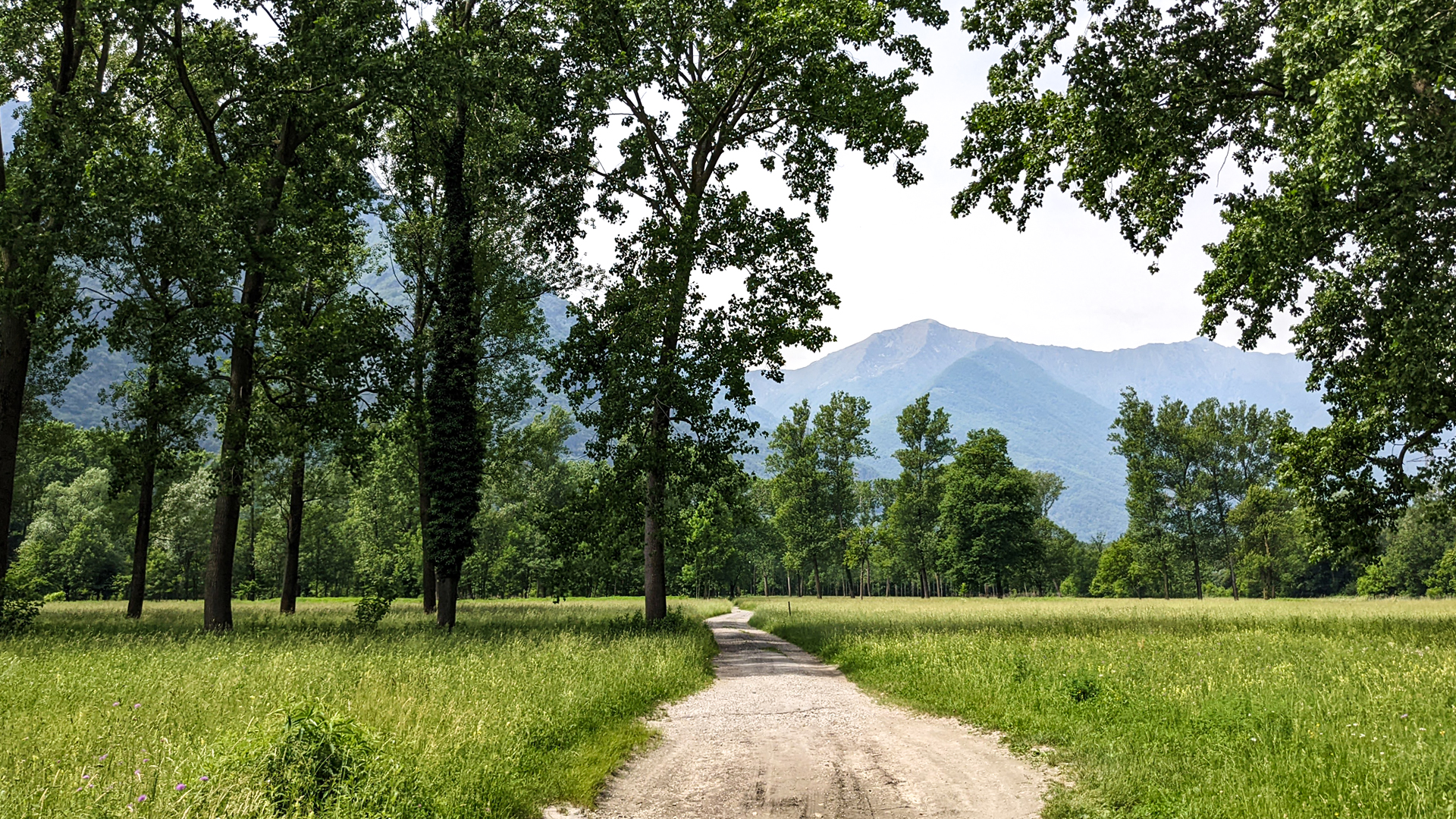
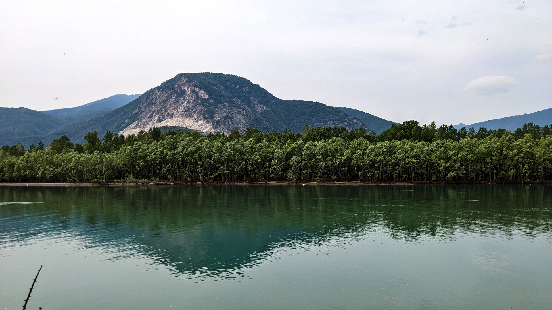
The trail that leads from Lake Maggiore to Domodossola passes by river Toce and the historic towns of Toce’s plain, crossing 10 towns and important natural sites. The itinerary starts from the train station “Verbania-Pallanza” in Fondotoce and offers a rich sequence of variable panoramas that explode in colors during the springtime.
Places to visit along the trail:
Fondotoce. The “Parco della Memoria e della Pace” (park of memory and peace) with the huge monument to the 43 partisans executed in 1944, and the “Casa della Resistenza” (house of resistance). The trail crosses the “Riserva Naturale del Canneto” (natural reserve of rushes) with its observatory.
Mergozzo and its hamlet, Candoglia, whose quarry is still used today to mine the homonymous marble for the “Veneranda Fabbrica del Duomo di Milano” (venerable factory of Duomo of Milan).
Ornavasso. The itinerary passes next to the “Falesia del Cannone” (cliff of the cannon) and reaches Punta di Migiandone where starts the military road that gathers the trenches of Linea Cadorna with the Fort of Bara (which can be reached by MTB).
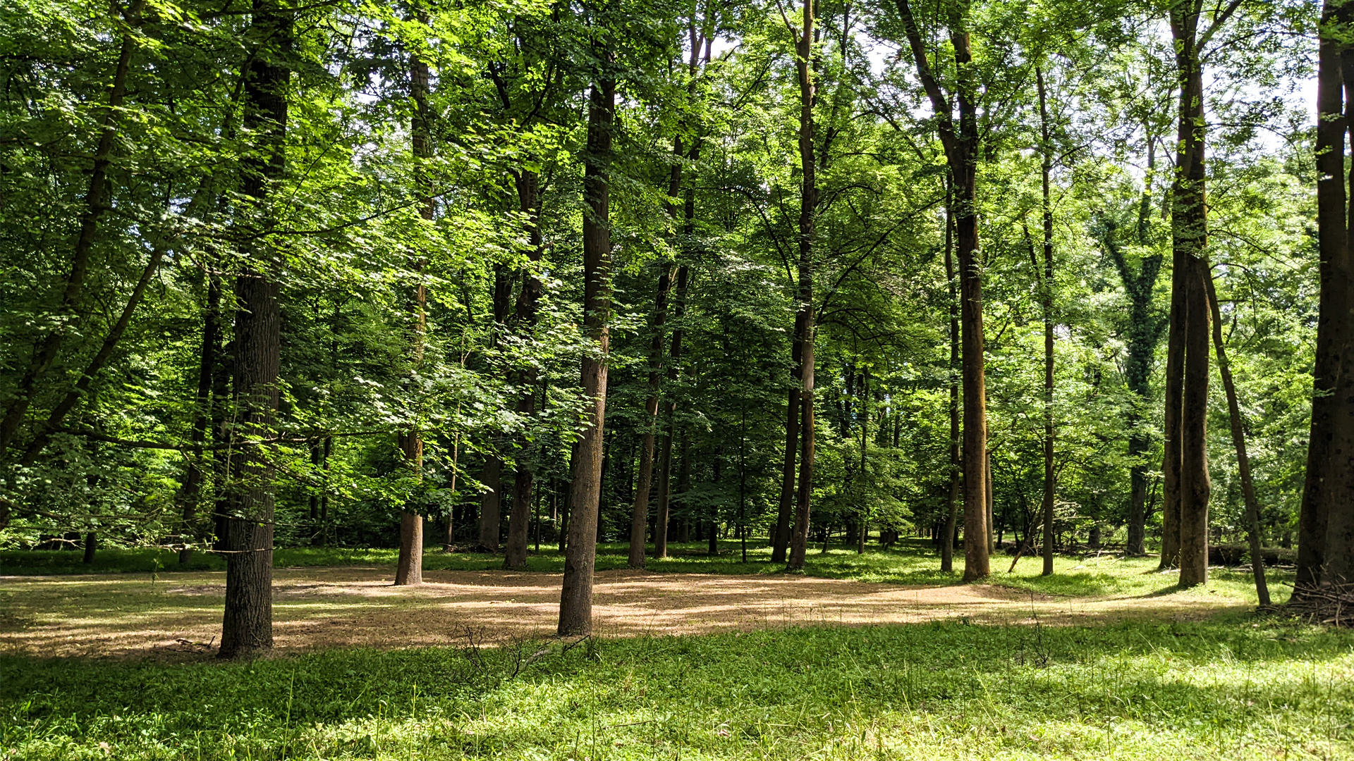
Premosello - Chiovenda. The WWF Natural Oasis of Bosco Tenso was established in 1990 to preserve the last part of woods, which was already protected in 1500 because the woods was placed between the river Toce and the plantations to protect the latter from floodings.
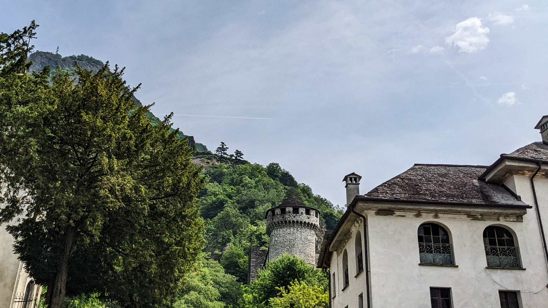
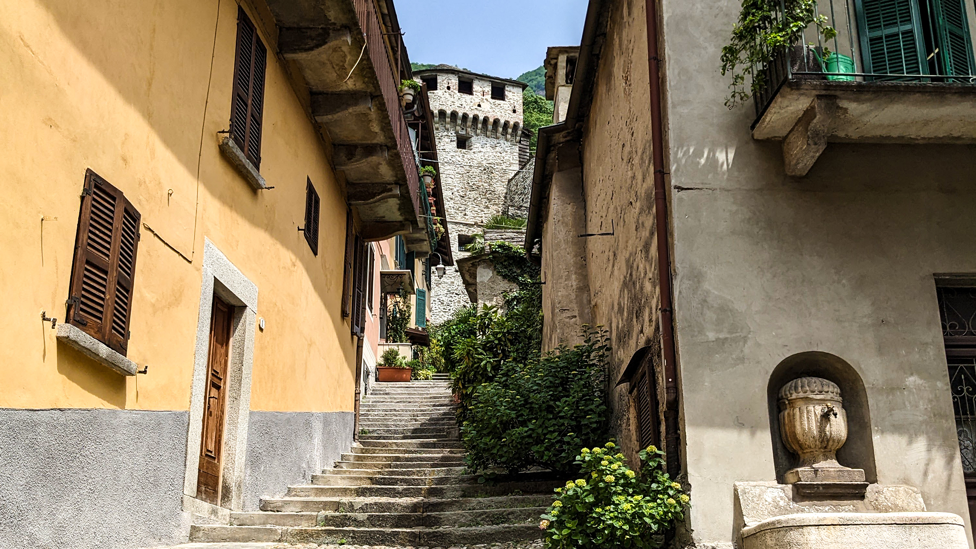
Vogogna, included among the most beautiful towns of Italy, has been the capital city of Ossola Inferiore and in the historic center there are the Visconti Castle and the Praetorian Palace.
Pieve Vergonte with the bridge on river Anza that leads to Piedimulera, where the tower of Palazzo Testoni stands out. It was probably built to control the mule track that led to Valle Anzasca.
Villadossola. It was an important iron and steel site for the metals mined in Valle Antrona, so much so that, in 1940, a whole village was built for the workers of S.A. Metallurgica Ossolana (iron and steel company of Ossola), and is still a unique piece of work as of today.
Domodossola, the main center of Ossola, grows in the plain at the entrance of Val Bognanco. It has been an important crossroads of cultures and commercial exchanges and its historic center,once enclosed among pentagonal walls, is rich in historic palaces.
To reenter it’s suggested to take the train from the station of Domodossola to reach the station of Verbania - Pallanza
Traveled on: May 22nd, 2022

go to the map


 Length:
 Our time:
 Total climb:
 Min and max height:
 Type of track:
 Surface:
 Panorama:
 Cell network coverage:
 Traced in winter:
 Traced by bike:


