The itinerary twists and turns among pastures and lakes, reaching the peak of Mount Corbernas, from which an amazing sight on Valle Devero can be seen.
The trail starts from Cologno, goes up towards Cologno Dentro and the pasture of Alpe Fontane, reaching a plain. Here one needs to turn back to admire the Pizzo Diei, the mountain with an unmistakable profile that separates Val Cairasca from Valle Devero.
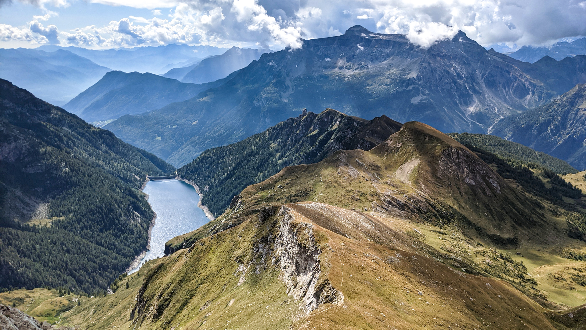
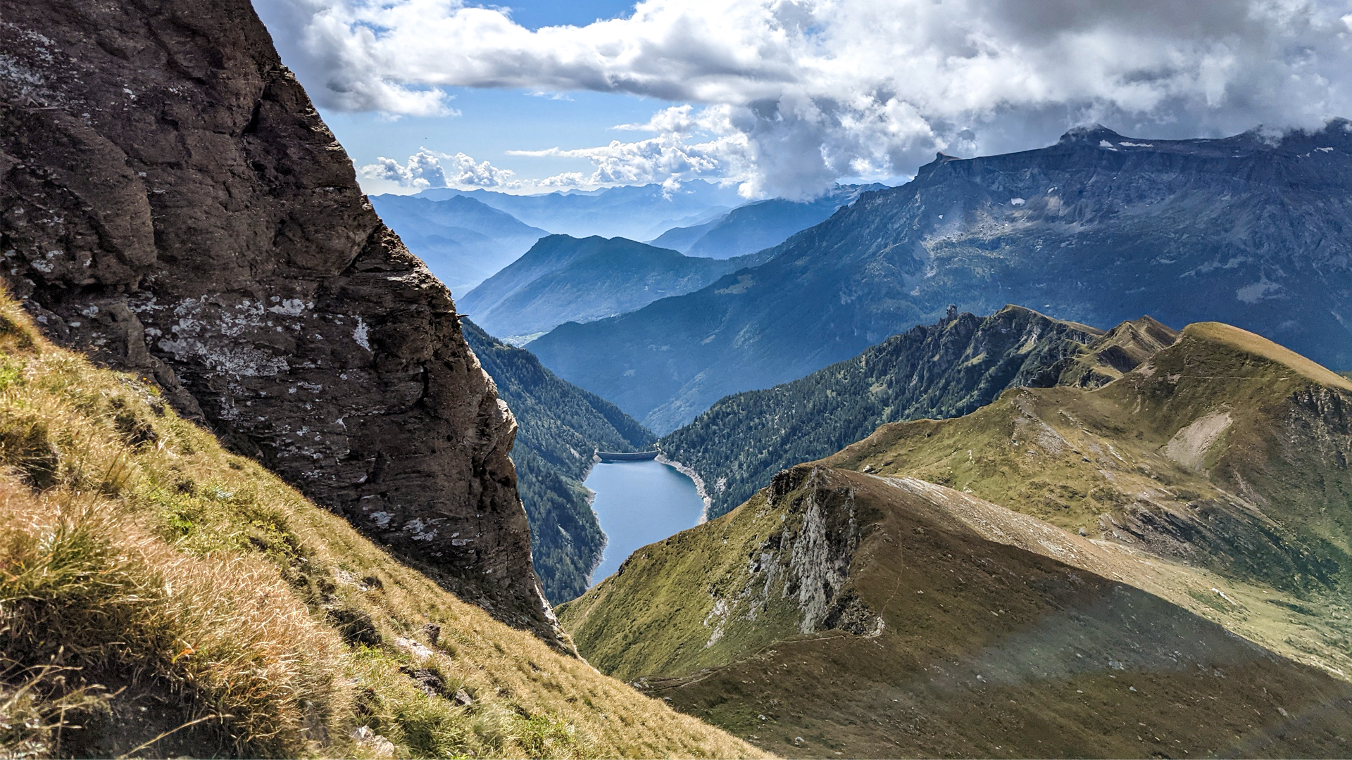
Once the lake of Sangiatto Superiore is reached, the trail proceeds towards Bocchetta di Scarpia, eventually reaching the peak of Mount Corbernas. The panorama here is at 360°, from the lake Agaro below, with its dam, to lake Devero with the mountain chain standing out in the background, until the closer peak of Mount Sangiatto.
The path then crosses Alpe Sangiatto where there are the two lakes Sangiatto and the peat bog, reaching Corte d’Arduì. From this point one can return to Cologno following the ancient medieval mule track that allowed the connections with Switzerland through the pass of d’Arbola.
The pastures of Alpe Devero and the pastures of Formazza are the unique places where the ancient cheese Walser can be produced: the Bettelmatt. An excellence in cheeses that, in the past, was used as an exchange good. The Bettelmatt is a half-cooked-paste cheese that can be obtained only from the milk of “bruna italiana” race cows, fed on the pastures above 1800mts during summer time. During the autumn, when the cheese forms have matured for at least 60 days, the marking begins. Such an important phase, needed to ensure genuinity and conformity to the guidelines, that the mark is kept all year long in the offices of Unione Montana (mountain union) and given to the marking expert only on the day of the beginning of markings.
Traveled on: Sep 11th, 2021

go to the map


 Length:
 Our time:
 Total climb:
 Min and max height:
 Type of track:
 Surface:
 Panorama:
 Cell network coverage:
 Traced in winter:
 Traced by bike:


