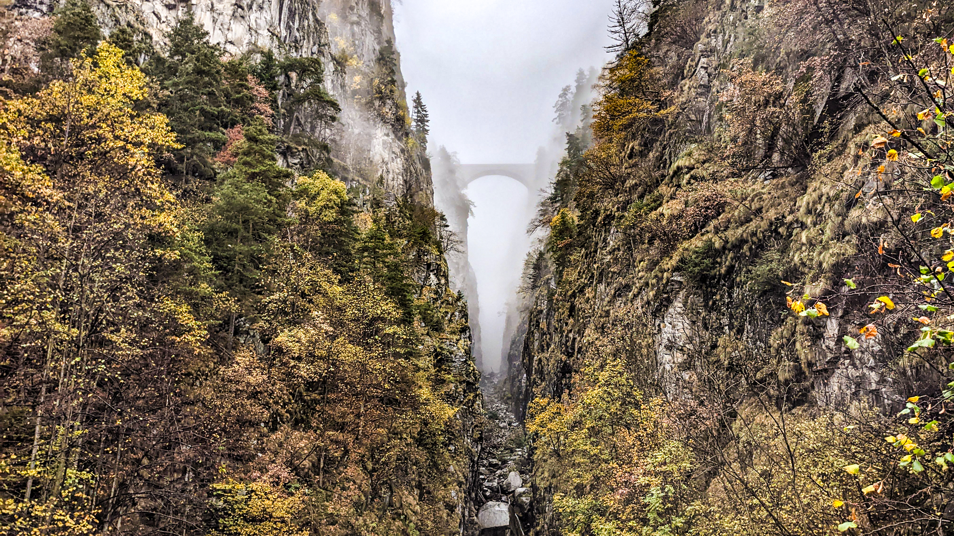
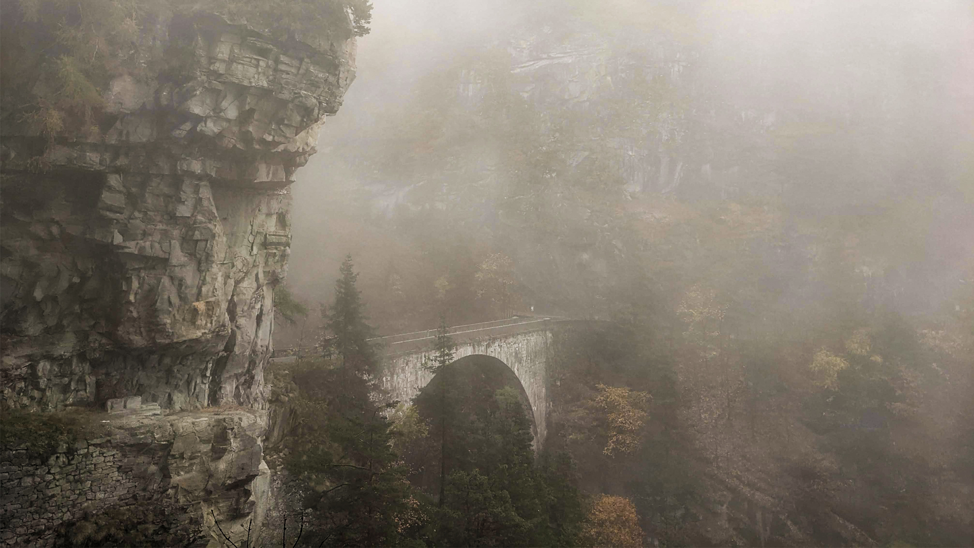
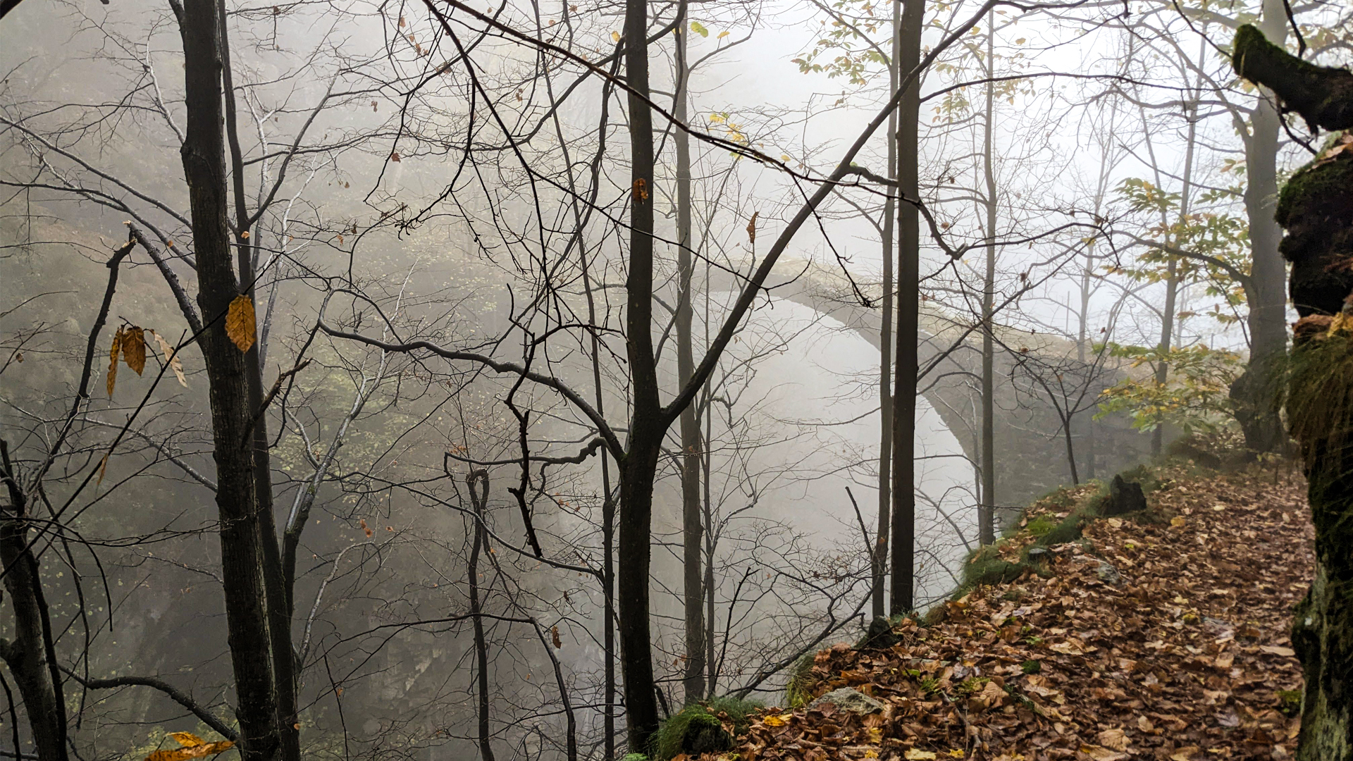
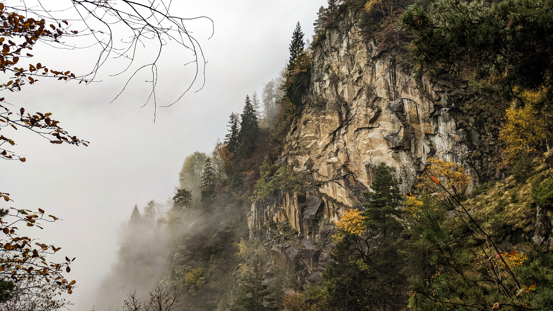
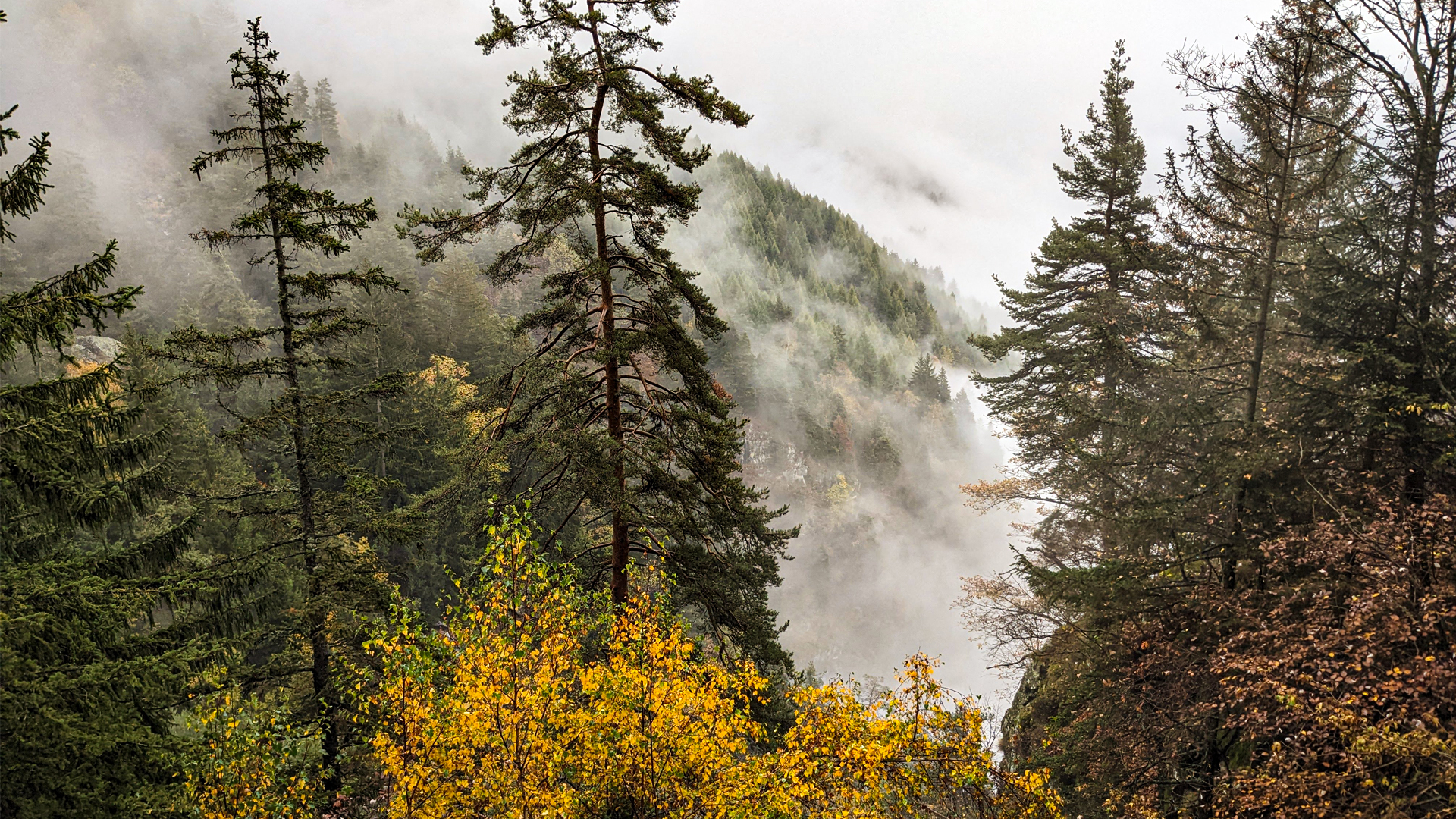
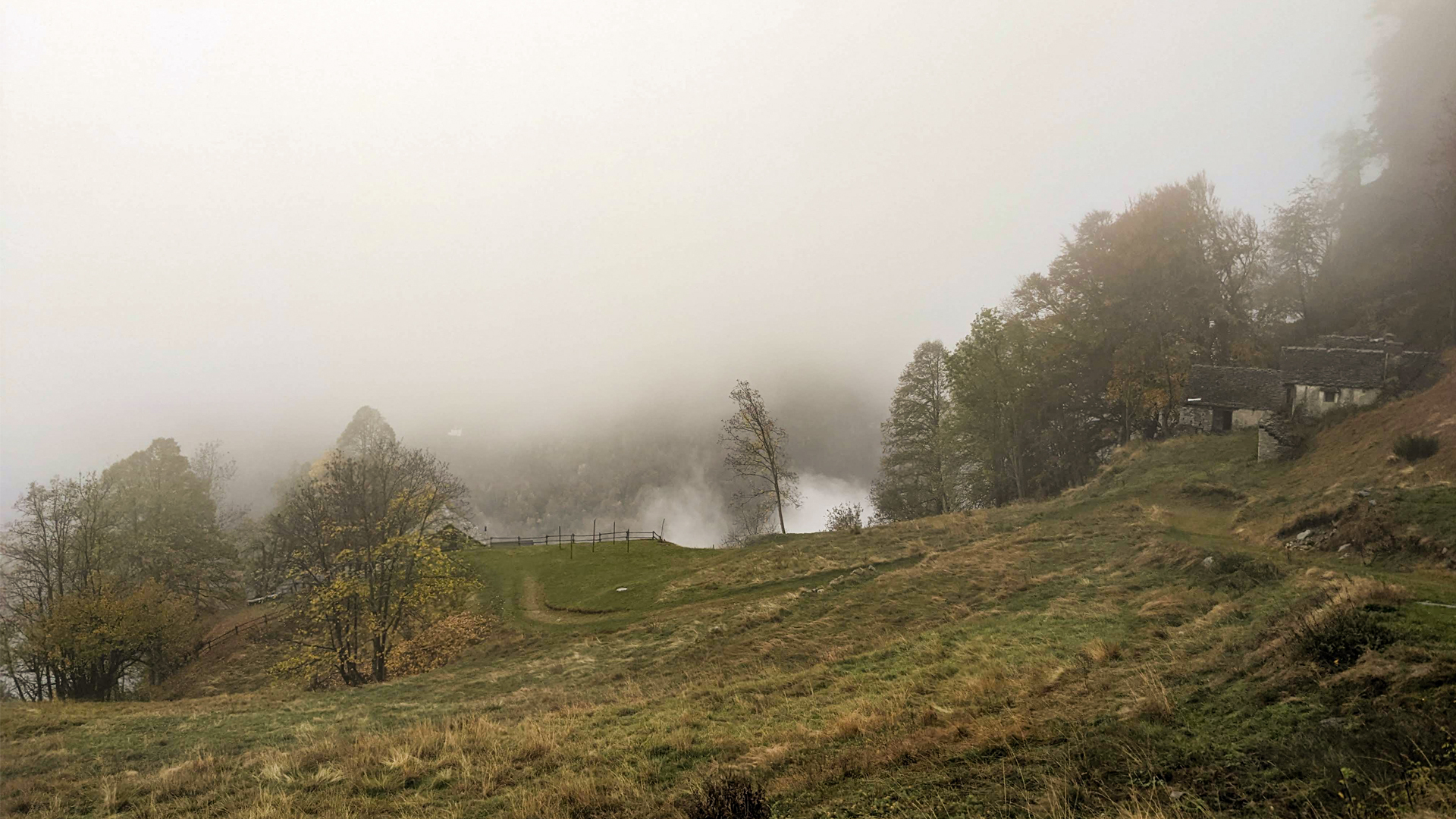
The itinerary develops halfway along the slope of Monte Teggiolo, between Val Cairasca and the Swiss border. This steep slope is divided by a deep rift eroded by Rio Gurva (also called Ri). These two strips of land are now conjoined in two points by the vehicle accessible Diavolo (Devil) bridge and by the pedestrian Diavolino (Little Devil) bridge. Two masterpieces of engineering and courage, one was born as a means of connection and trade, the other was born in a time when the Italian talent and the will to produce innovation and splendor for the homeland were pushing the administrations to build majestic engineer endeavors. Two structures facing each other and running in parallel: the Diavolino bridge, towards the valley, was already present in 1300 and rebuilt in 1681, is about 30 meters high and has no lateral railings; The Diavolo bridge is uphill, inaugurated on the 27th of September 1880, with a single span made of stone ashlars, 34 meters long and about 100 meters high. The latter was described in its time by the newspapers as a real work of art, “a true strength of ingenuity and tenacious will” that, because of its boldness, its complexity and economic cost were impossible to predict. So much so that its builder, the entrepreneur Giovanni Mattasoglio, committed suicide by jumping in the Toce, unable to complete the work with the only compensation given by the municipality. The final cost of the work was eventually three times the expected initial cost.
The majestic construction was built with a wooden scaffolding that was so complex that, at the end of the work, could not be safely dismantled, so it was covered with petroleum and set afire, bursting in a large blaze that engulfed the bridge. It was not this infernal sight that gave the name to the bridge though, but it was a tradition, not only in Ossola, following which these brave and daring works could not be made by men, but only by the Devil!
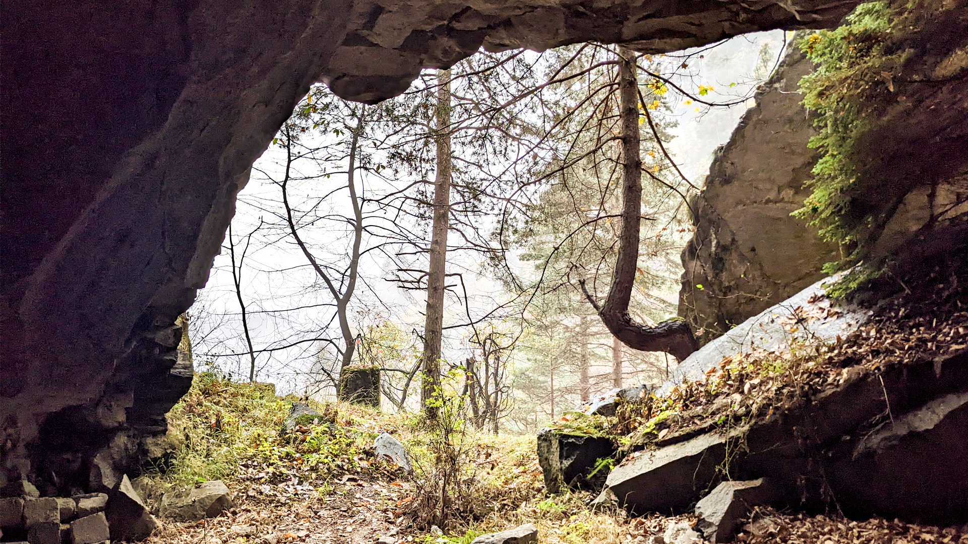
The itinerary initially follows the ancient trail that connects Trasquera and Bugliaga, passing by a small decorative stone quarry, crossing the Diavolino bridge and following the asphalt road that goes back to Trasquera crossing the Diavolo bridge.
WARNING: the Diavolino bridge is exposed on both sides, since it has no railings, and, a little further along the itinerary, an exposed trail is crossed, equipped with steel cables.
Traveled on: Oct 30th, 2022

go to the map


 Length:
 Our time:
 Total climb:
 Min and max height:
 Type of track:
 Surface:
 Panorama:
 Cell network coverage:
 Traced in winter:
 Traced by bike:


