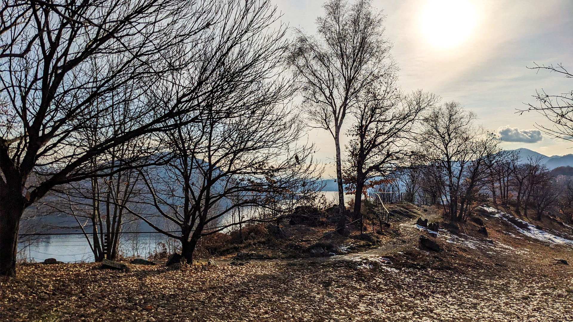
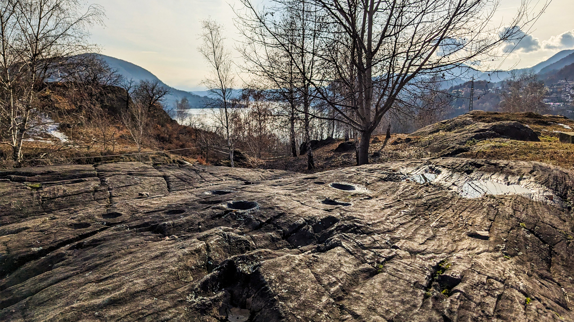
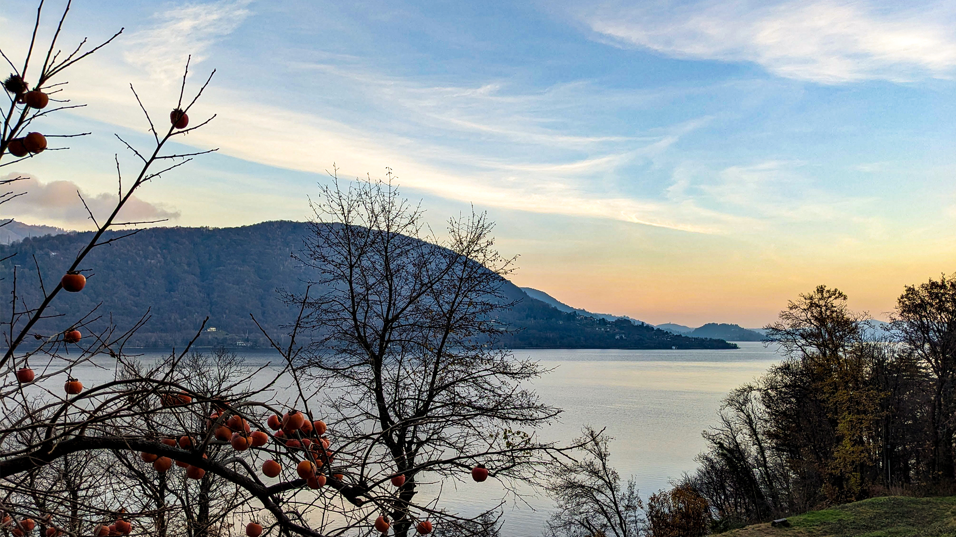
The panoramic itinerary from Bagnella to Nonio crosses many points of interest among the landscape of Cusio. The trail goes along the creek Fiumetta and reaches Monte Zuoli on the peak of which some important prehistoric testimonies are kept. This raised area offers a panoramic view on the whole Lake Orta and in this particular place there is an surfacing stone with 20 cup and ring marks and the slide of fertility. The rite of sliding was connected to the Mother Goddess, a belief originated in the Neolithic Age, according to which the women who slid on these large rocks were gifted with fertility.
The itinerary proceeds towards the town of Brolo that shows, in all of its roads, its ancient identity as “town of cats”. Brolo, during the ‘700, was a hamlet of the town of Nonio. Its inhabitants wanted to be independent so much so that they decided to build a new church, the symbol and condition without which they couldn’t hope for administrative independence. The inhabitants of Nonio, with a pinch of pride, thought that it was so unlikely that the people of Brolo could build a church with their own (economic) resources that taunted them by saying: “when the church is built, the mouse will wear a cape”.
It took them 10 years, but in 1767 the new church in Brolo, dedicated to Anthony the Great, was inaugurated. And the people of Brolo very well remembered the taunt from the people of Nonio, so it seems that, at one night, they had fun attaching some mice with small capes to the doors of those who taunted them the most. From this event, halfway between history and legend, Brolo became the town of cats!
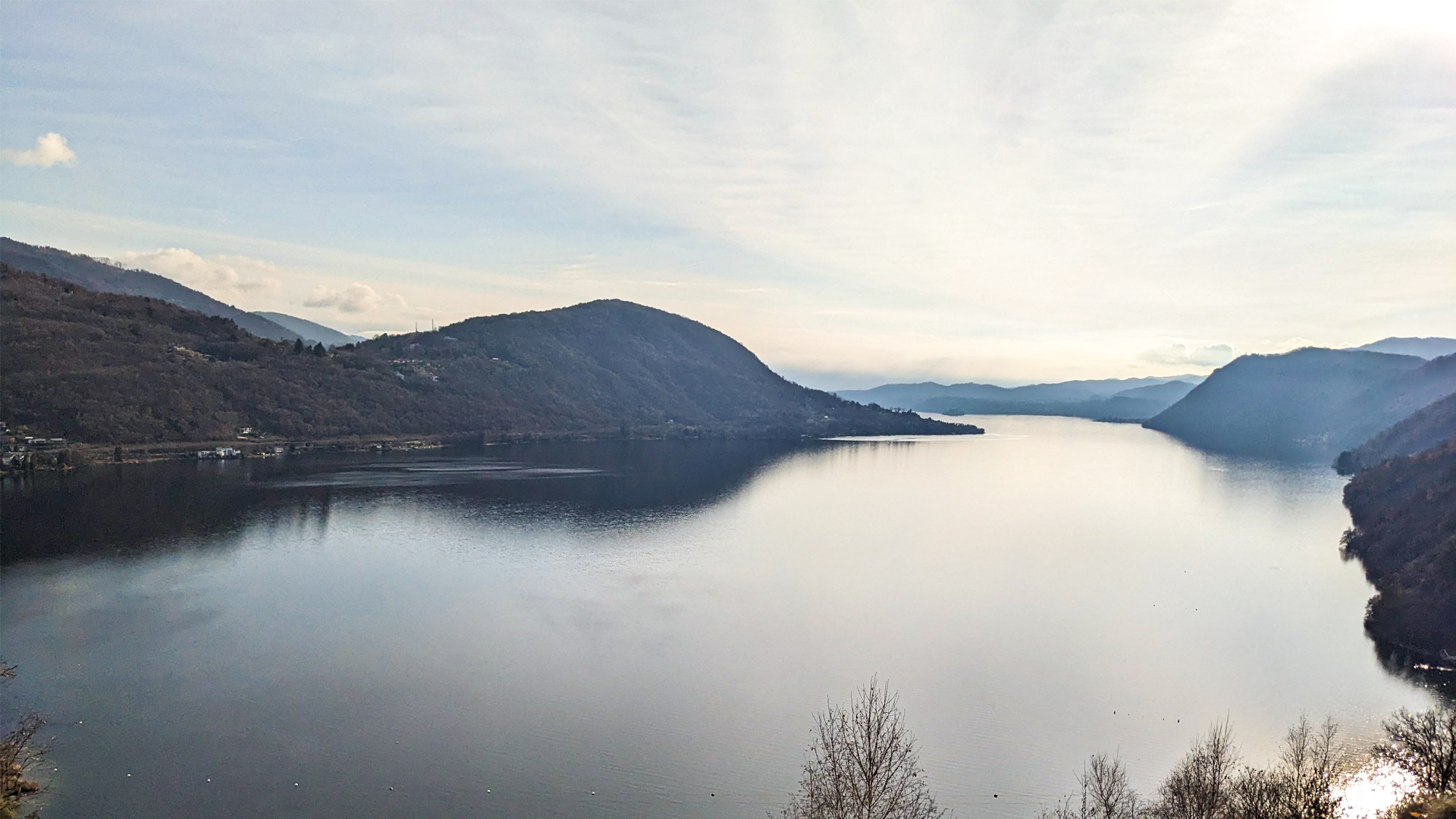
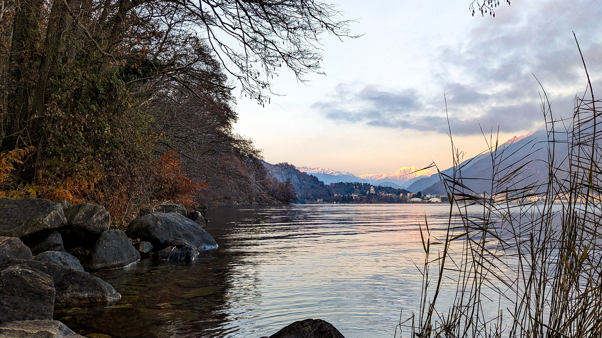
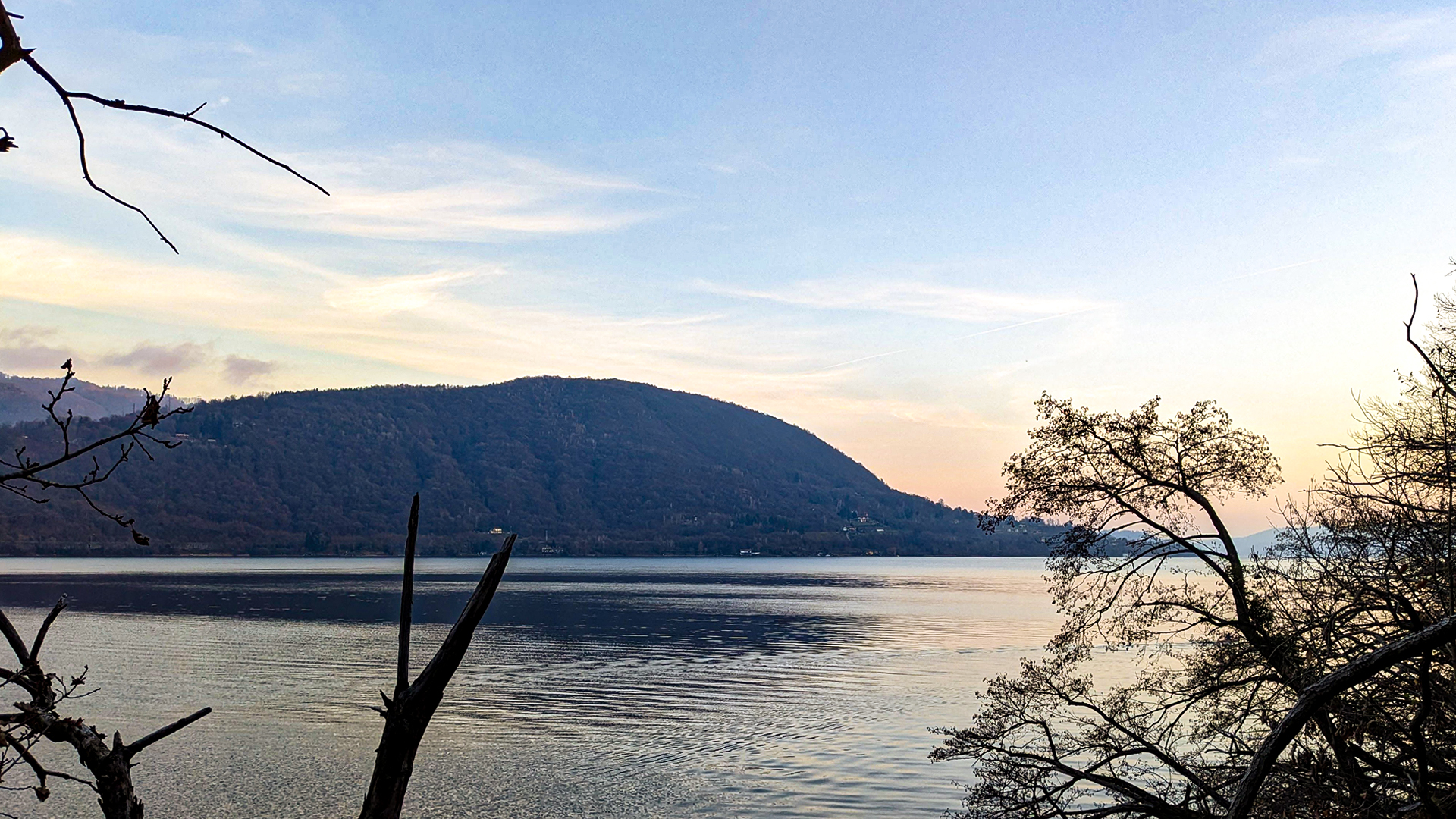
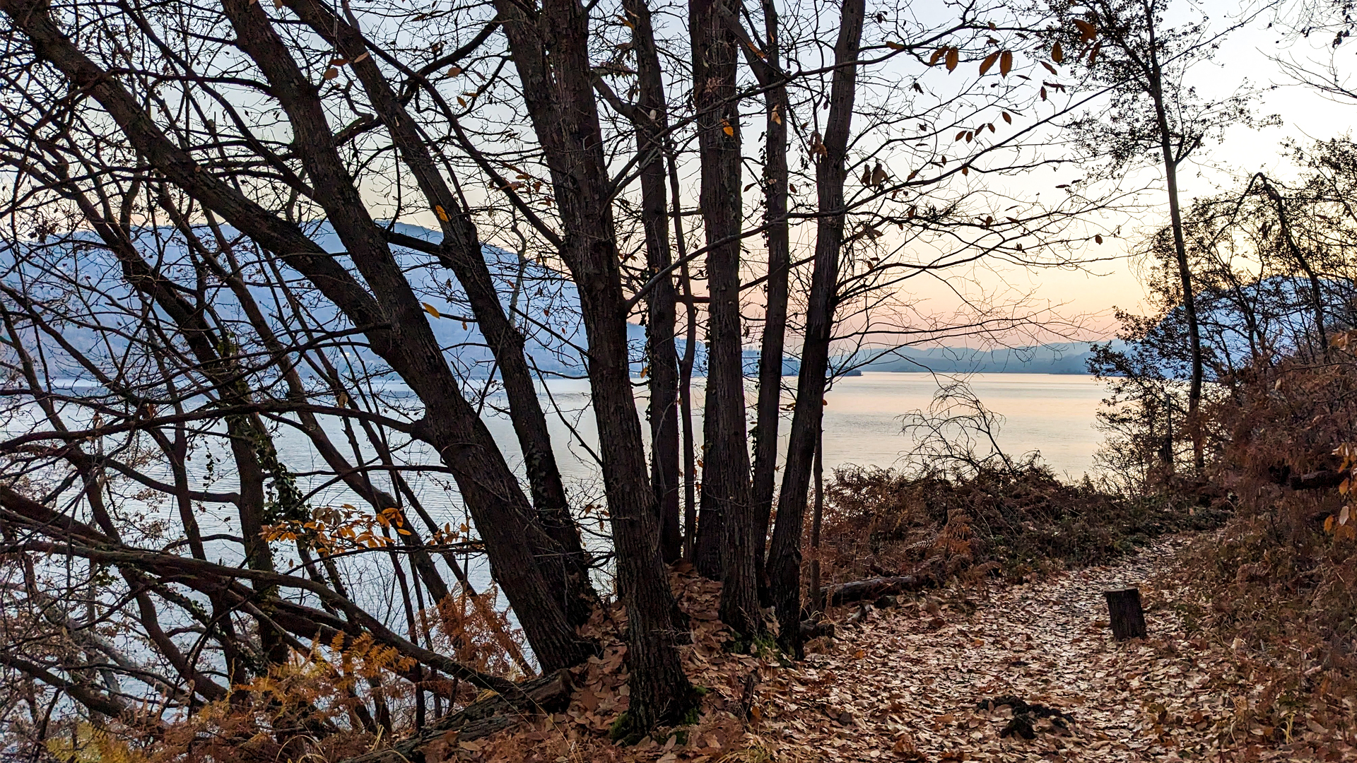
The itinerary later proceeds along Monte Cregno, passing by the lakes of Nonio and a glacial erratic, later reaching the town of Nonio and the hamlet of Oira. From here the trail goes down towards Lake Orta, offering many sights on the whole basin of the lake, the nearby town of Omegna and the peak of Mottarone.
Traveled on: Dec 18th, 2022

go to the map


 Length:
 Our time:
 Total climb:
 Min and max height:
 Type of track:
 Surface:
 Panorama:
 Cell network coverage:
 Traced in winter:
 Traced by bike:


