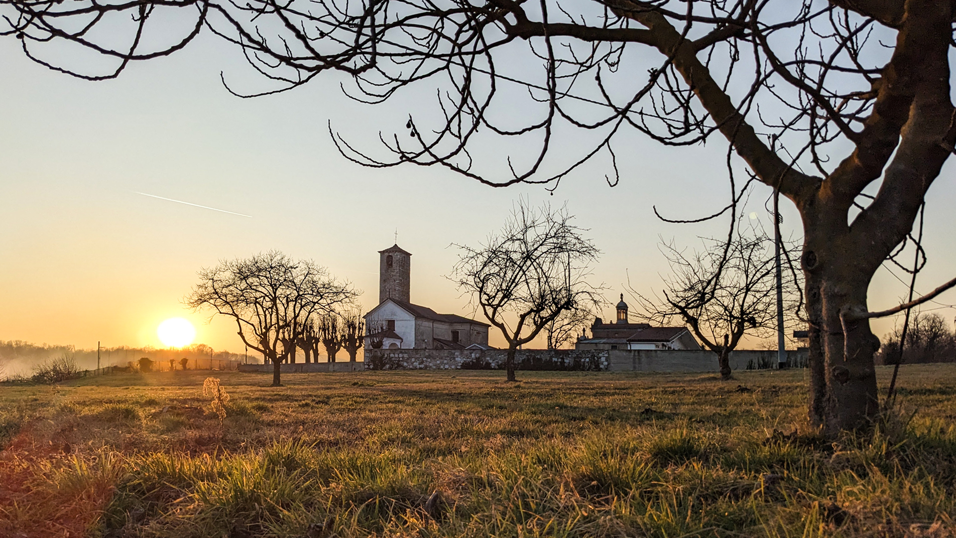
The itinerary twists and turns on the hills in the territory of Invorio and Borgomanero, crossing the large green area and the dense net of trails that characterizes the “Porta del Vergante” (gate of Vergante).
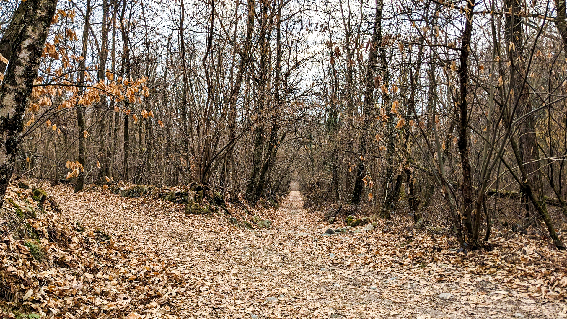
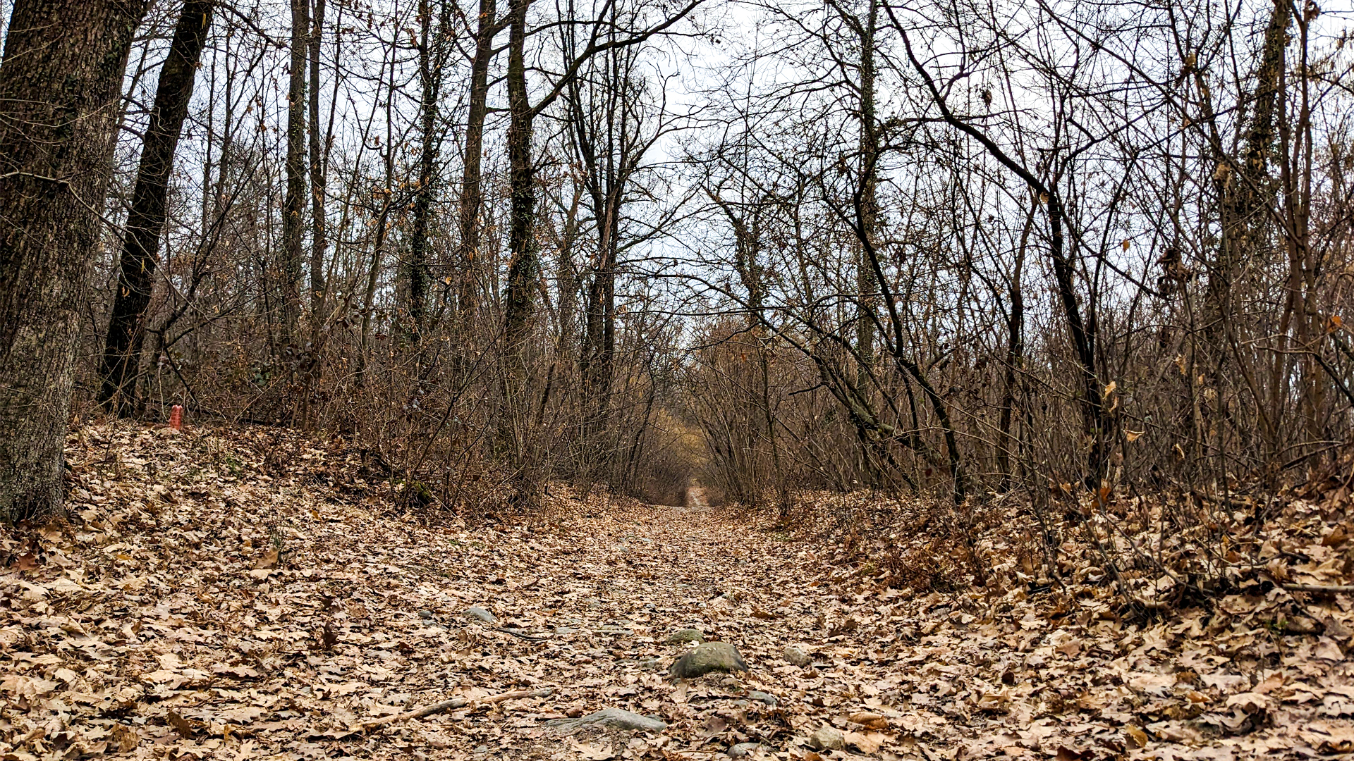
The itinerary traces back the lands where the local families, until about the 50s and 60s of the past century, used to farm vineyards and chestnuts. The ancient vineyards have made room for young woods today but, along the path, the remains of structures and infrastructures used to farm the vineyards are still visible today. As a matter of fact, some “casin” (small house in dialect) are met. Those are small shelters for tools, wells, dry-stone walls, some terracings and the large net of mule tracks, made of pebble and large enough to allow the passage of carts that, as remembered by those people who lived in that period, were pulled by oxen. As of today, the terracings still cultivated are just a few, and mostly set on the hills of San Michele.
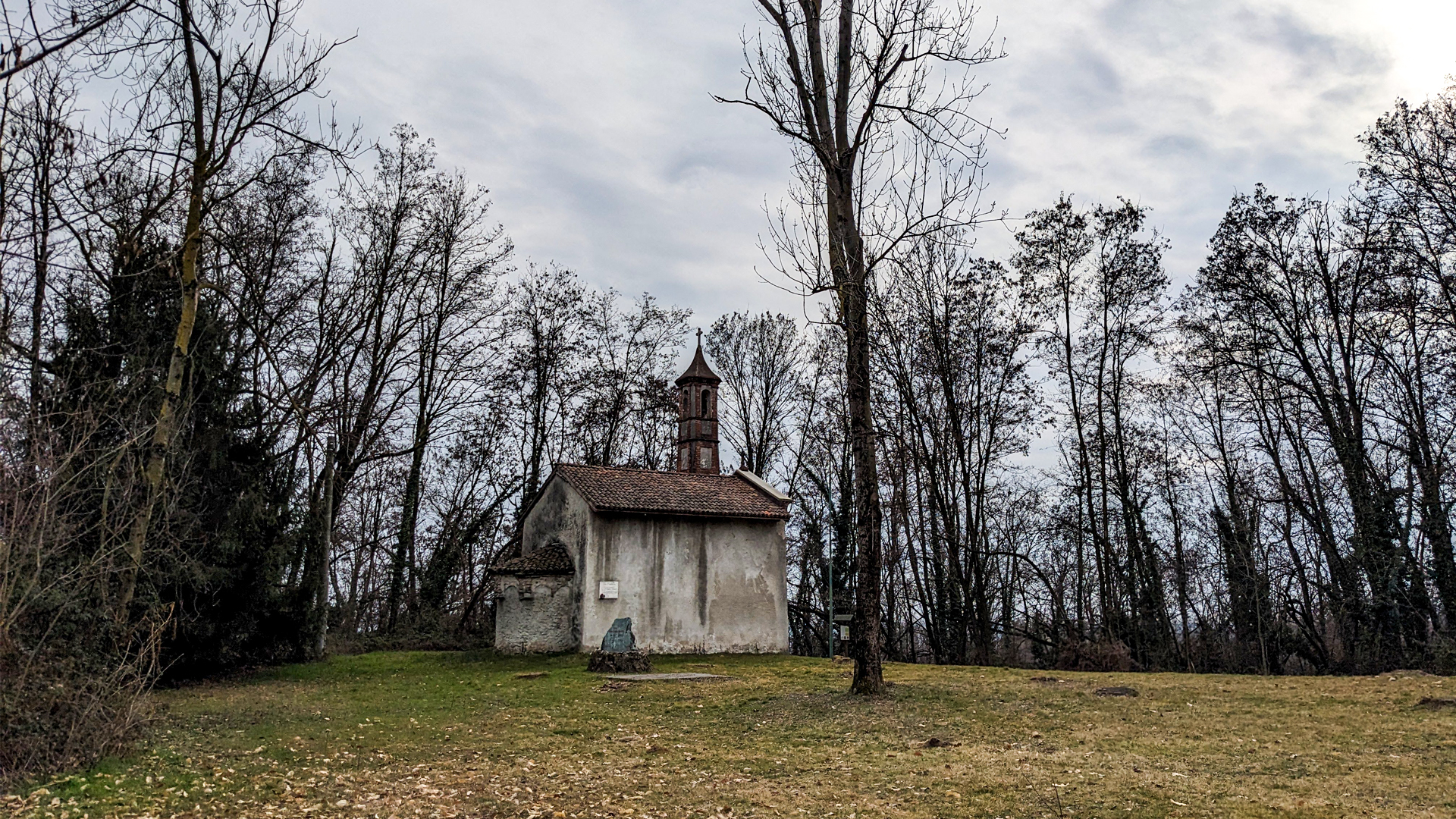
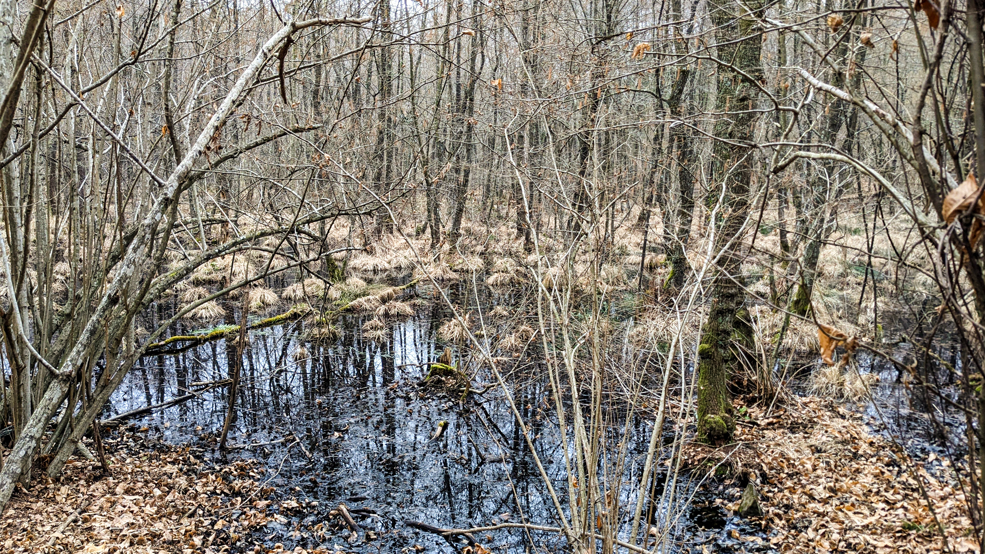
The itinerary passes through the hamlet Mescia, the hamlet Talonno and the area of Salvaguardia Baraggiola - San Michele, crossing the Moja Grande swamp with its typical black color and reaching Motto Sereia, where the small chapel called “two heads” is built. Thanks to the work of Alpini di Invorio, in 2022 the trails that lead to the small chapel of 1700 were restored. Here, up until a few years ago, the painting of Mary appeared to have two heads! The ancient painting of the immaculate conception was surfacing, veiled under the new one, the two heads were in different positions and so both could be seen, painted on a single bust.
Traveled on: Mar 1st, 2023

go to the map


 Length:
 Our time:
 Total climb:
 Min and max height:
 Type of track:
 Surface:
 Panorama:
 Cell network coverage:
 Traced in winter:
 Traced by bike:


