The history of Vogogna is tightly connected to the fate of the important town of Vergonte/Pietrasanta which could boast a Pieve (parish church) and the headquarters of the vicariate. Vergonte and Pietrasanta are the names of the same town, built on the opposite sides of Toce, and twice destroyed by terrible floods. Along the course of river Toce only the medieval wall of Borgaccio is still visible today, while the rest of the town was submerged by the debrises. This is why many inhabitants left these lands and moved to the nearby Vogogna, which became the Capital of Lower Ossola in 1328.
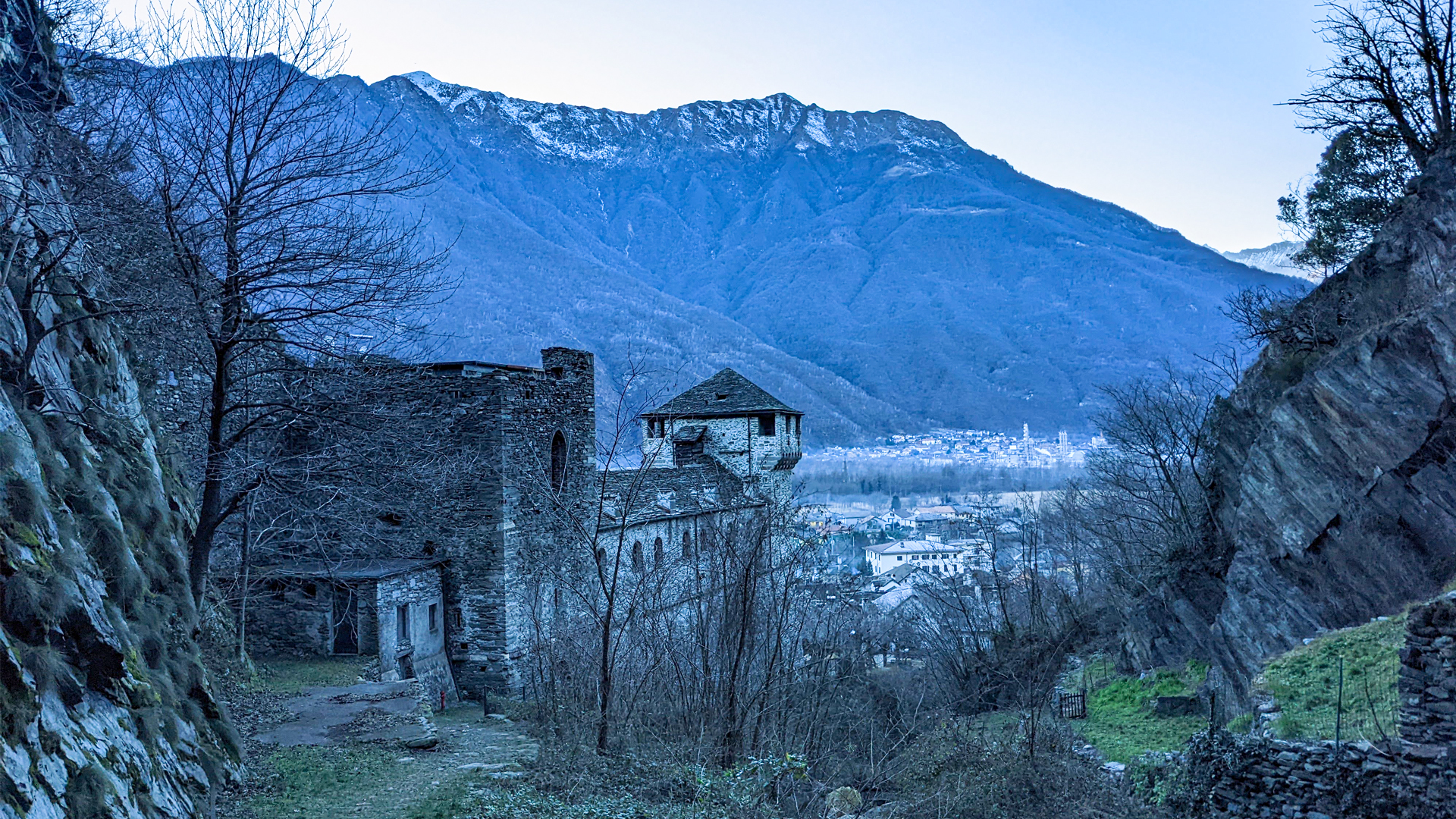
In medieval times, by will of Giovanni Visconti, a preexistent fort was expanded, becoming the current castle, with the towers, the Praetorian Palace, the defensive walls and the Rocca (stronghold) built on mount Orsetto. This defensive system was a control point on the whole valley of Toce, both towards the lake and the alpine passes. Despite this, the town has been attacked many times during the troubled ‘300, a century that witnessed the alternation of plague, the devastation of grasshoppers, the invasions from the south and the fight between opposing factions: the guelphs Spelorci from Domodossola and the ghibelline Ferrari from Vogogna.
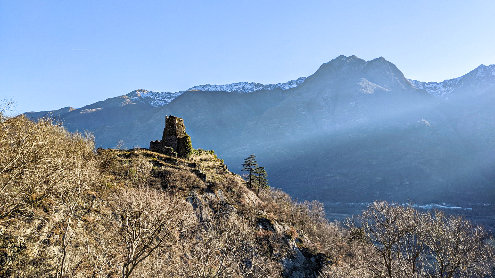
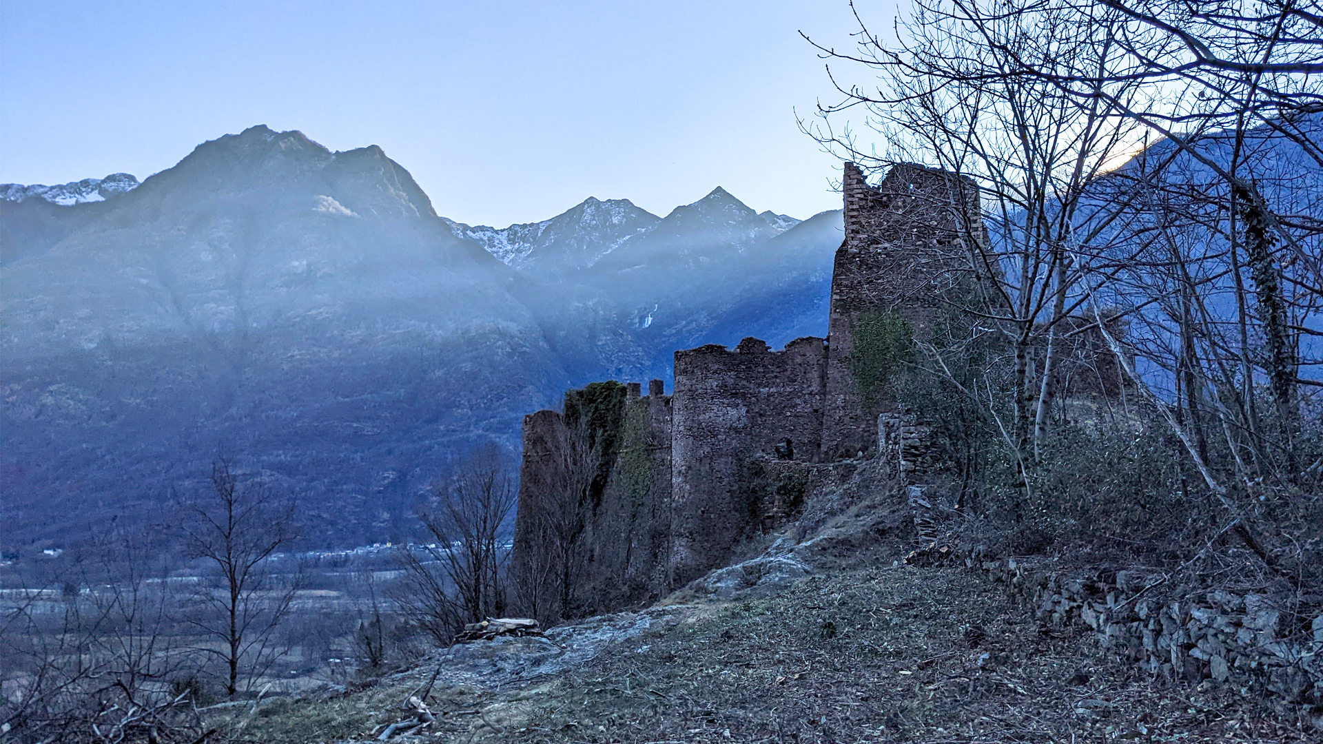
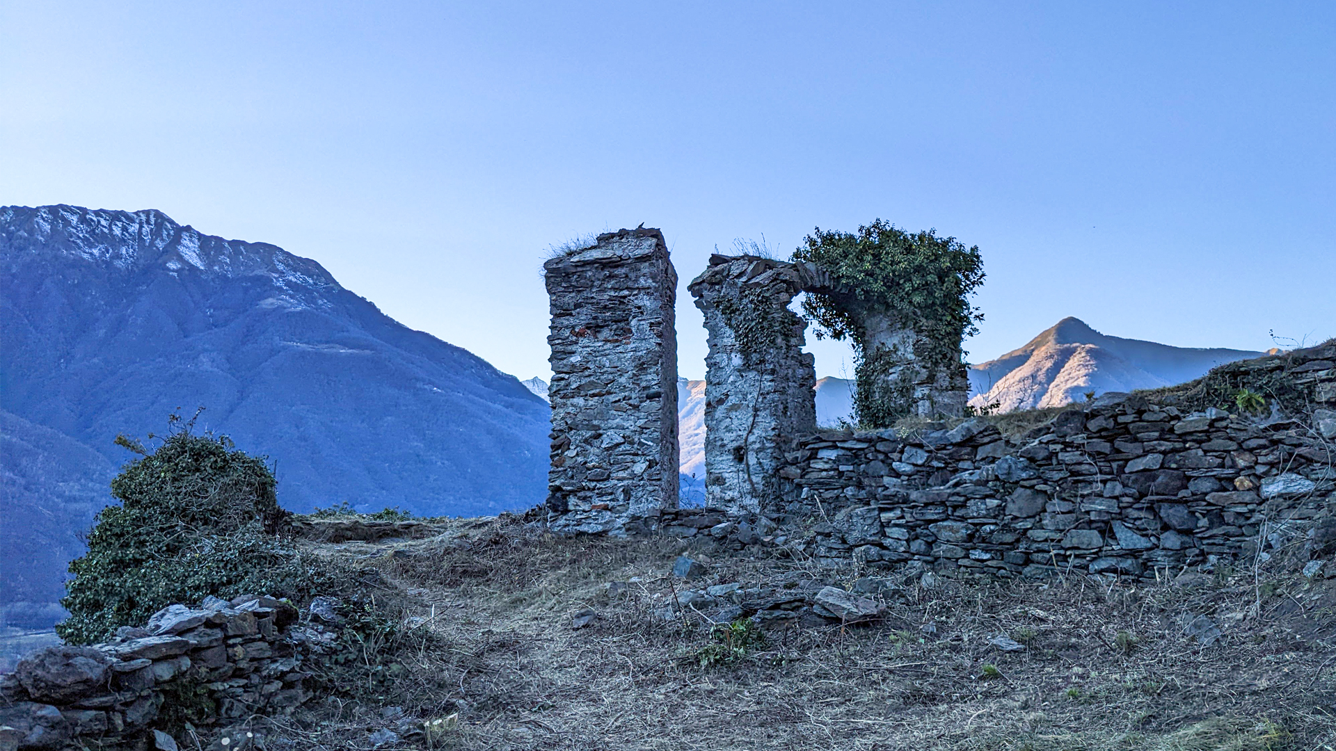
In 1514 a raid of the Domodossola army destroyed the Rocca of Vogogna which lays abandoned since then.
The Visconti castle of Vogogna was opened to the public in 2001, after major restorations.
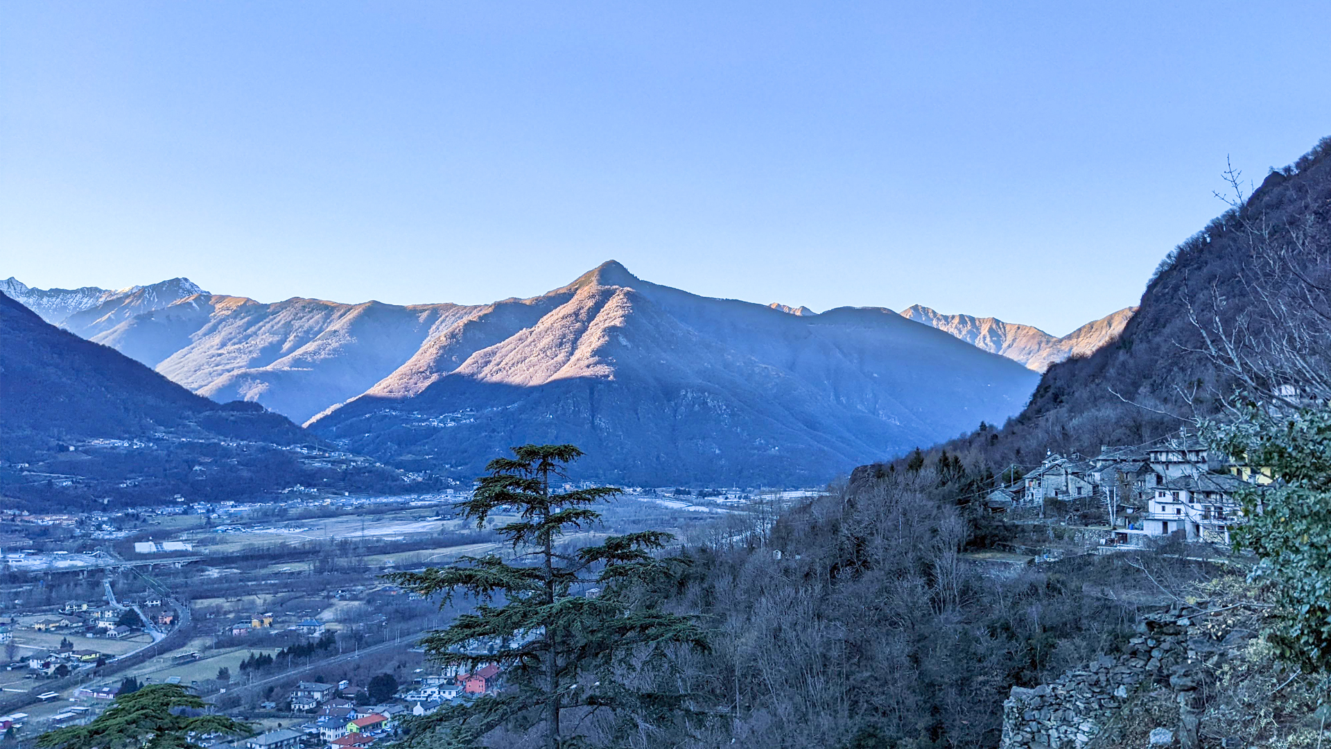
The itinerary crosses Vogogna and its hamlets, following a tract of the cycle path of Toce “in bici tra i borghi” (by bike among the towns), passing by Dresio, Giavinello, Genestredo with its wine press, the Rocca of Vogogna and the medieval town along Via Roma, a name that recalls the passage of an ancient Roman road.
Traveled on: Oct 1st, 2023

go to the map


 Length:
 Our time:
 Total climb:
 Min and max height:
 Type of track:
 Surface:
 Panorama:
 Cell network coverage:
 Traced in winter:
 Traced by bike:


