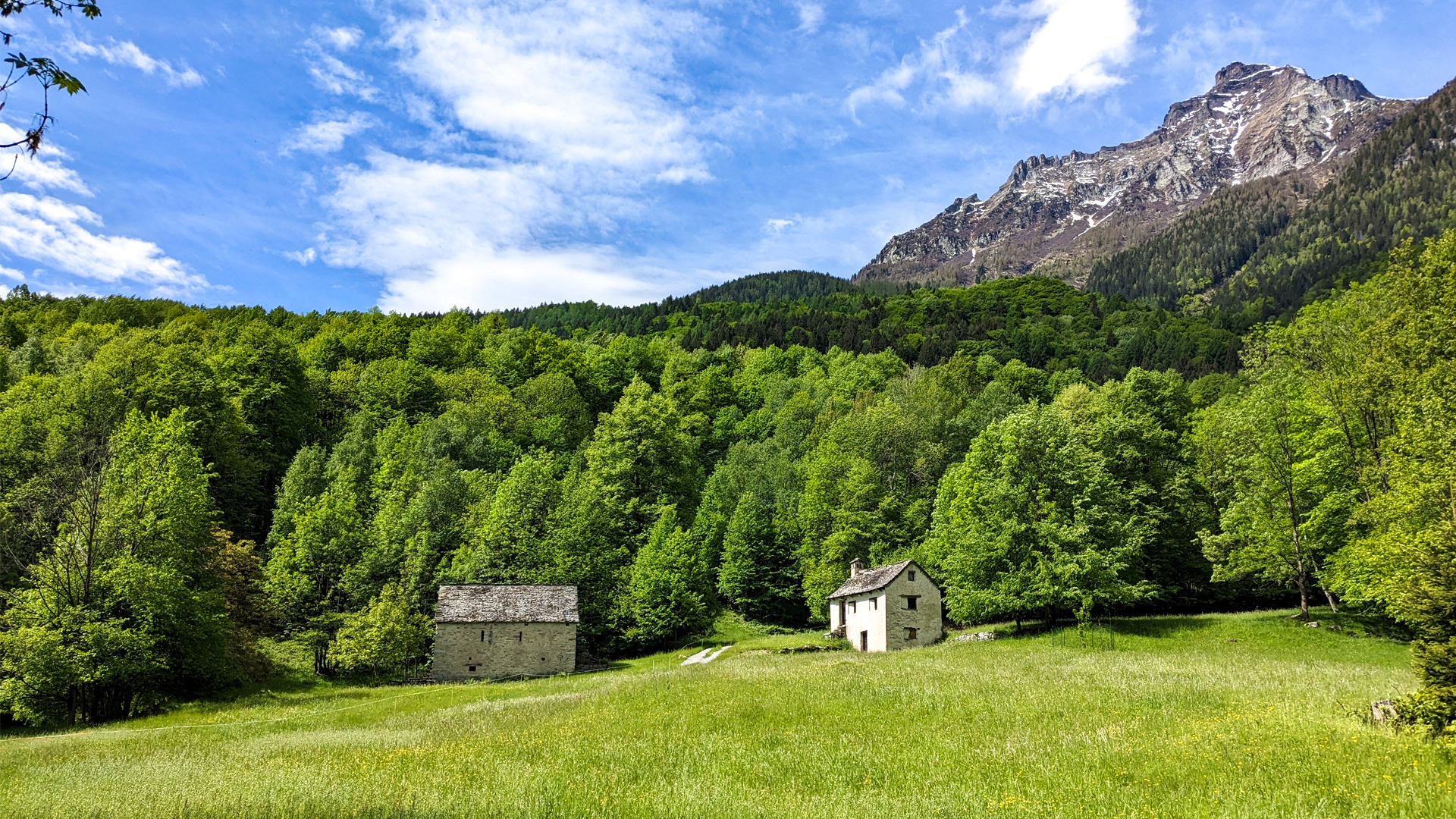
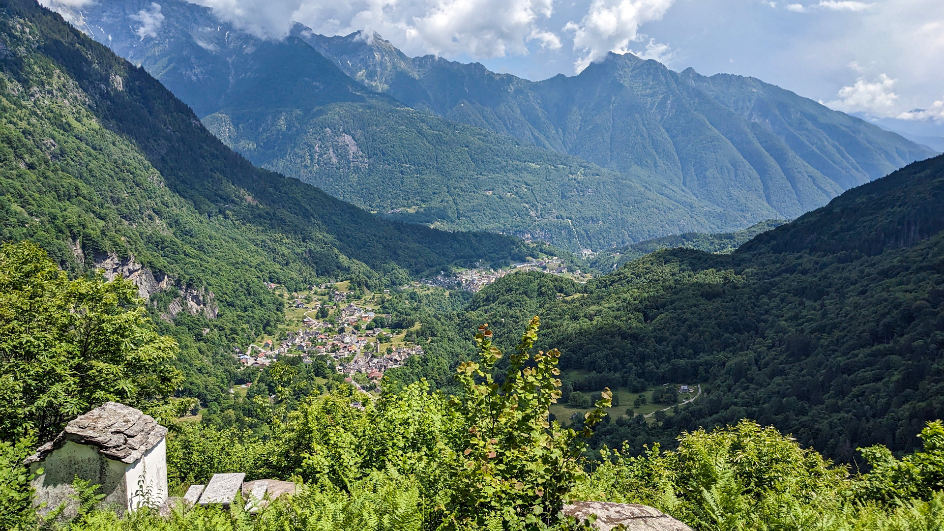
The itinerary starts from the town of Croveo, an historical strategic point for the connections with Switzerland. So much so that, even during the Middle Age, the men used to carry the goods across the Arbola with mules or donkeys. Along the trail, the river Devero is met, retracing the passage of that ancient subglacial river that, with its strength, its copious flow, its vortexes and whirlpools, gave birth to canyons, potholes, ravines and gorges in what is defined today as “glacial garden of the ravines of Uriezzo”, to which the Potholes of Croveo belong to.
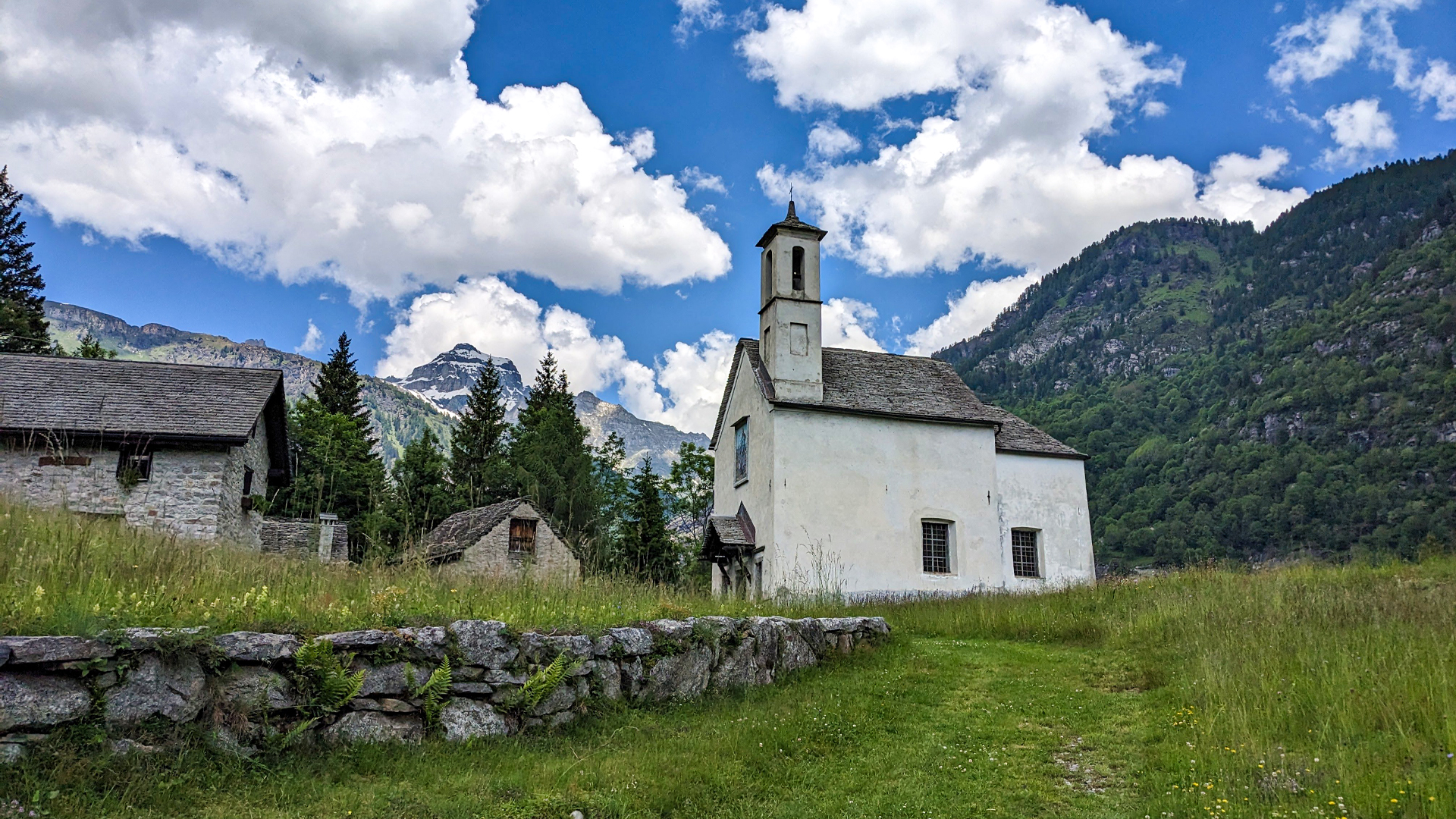
This rich path develops among natural elements which are unique in the world. Ancient towns, histories and legends discovering the land where the Inquisition, supported by popular superstition, gave way to a witch hunt, leaving a lot of victims along its passage. The “witchcraft”, brutally tamed by the Church, left space for a large catholic devotion, proved by many chapels that characterize these places, and by many oratories that were built, like it often happened, as vows for salvation. An example of this is the Oratory of Esigo, dedicated to San Rocco as a vow for protection against the plague of 1630.
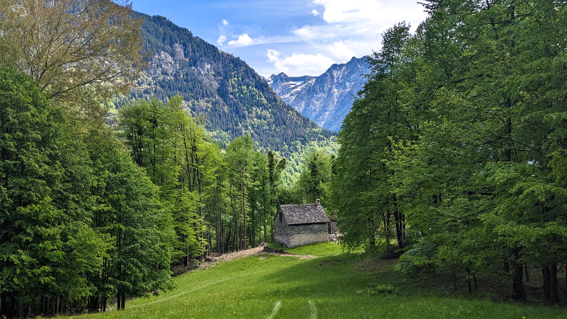
The itinerary crosses the small pastures connected halfway by the “Veia di Squetar” (way of squirrels, in dialect), which has always served as a way for transhumance to and from Bondolero and Devero. In one of these pastures, which is Pontigei, a stone axe was found. This dates these places as inhabited during the Neolithic, which is around 5000 years ago!
In the locality of In l’örr (“the edge” in dialect) there is the steep stairway called “scalascia”, which leads from the plain of Esigo to the town of Osso and, eventually, to Croveo, where the Museo del Cappellano Don Amedeo Ruscetta (chaplain Don Amedeo Ruscetta’s museum), also called “vipers’ priest” is set. An enthusiast for reptiles and a great expert of nature, he captured the vipers to gather their venom and give it to the Serotherapy Institute of Milan to make antidotes. Inside the museum there is also a precious collection of ancient “cavagnette”: vertical compositions with a basket on their base where a sort of luxuriously adorned tree is placed. These structures were carried in procession by the young women of marriageable age, to show their strength.
Traveled on: May 17th, 2023

go to the map


 Length:
 Our time:
 Total climb:
 Min and max height:
 Type of track:
 Surface:
 Panorama:
 Cell network coverage:
 Traced in winter:
 Traced by bike:


