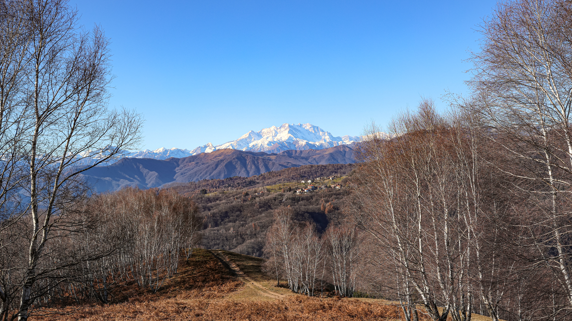
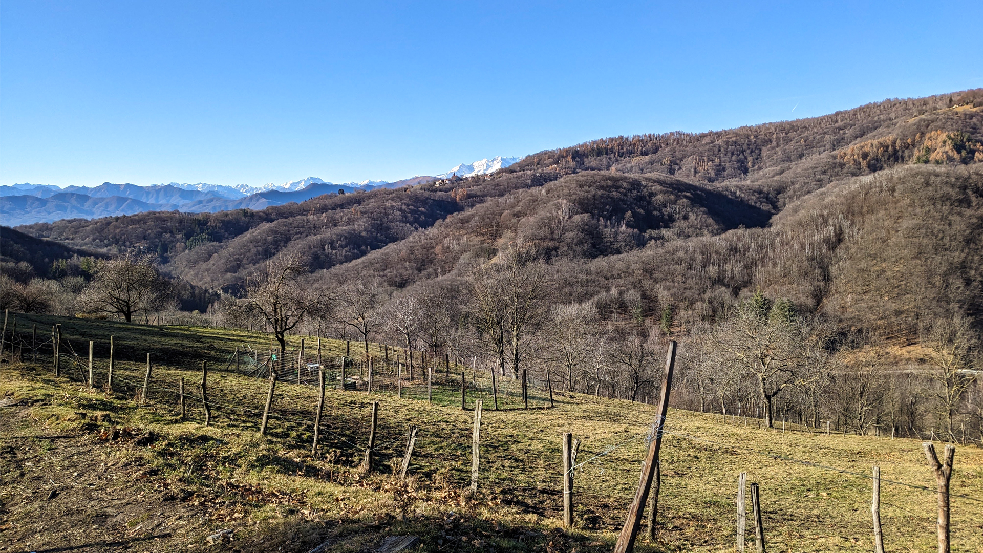
The itinerary develops among the pastures of Sovazza overlooking the Agogna Valley and harmoniously arranged on the sunny slopes of Monte Cornaggia.
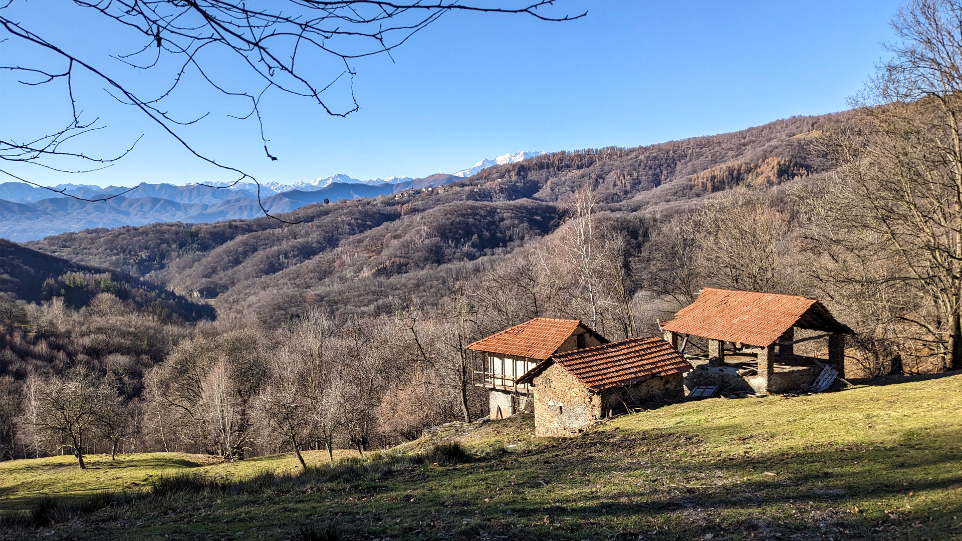
The territory of Armeno, compared to the rest of Cusio, was the one that based its economy the most on mountain pasture activity, so much so that there are as many as a hundred of them, some of which have been modernized and are still used today. Very often the names of these mountain pastures are linked to the owner of a given historical period, attributing to the alp his surname, such as Alpe De Gaudenzi, or a nickname, such as Alpe Dal Biund. In other cases the name of the alp is linked to the characteristics of the place where it is located, such as the Alpe della Fontana. These places tell the story of the life of a community that has adapted to the territory and with which it has been able to respectfully coexist, linking the subsistence of entire families to it.
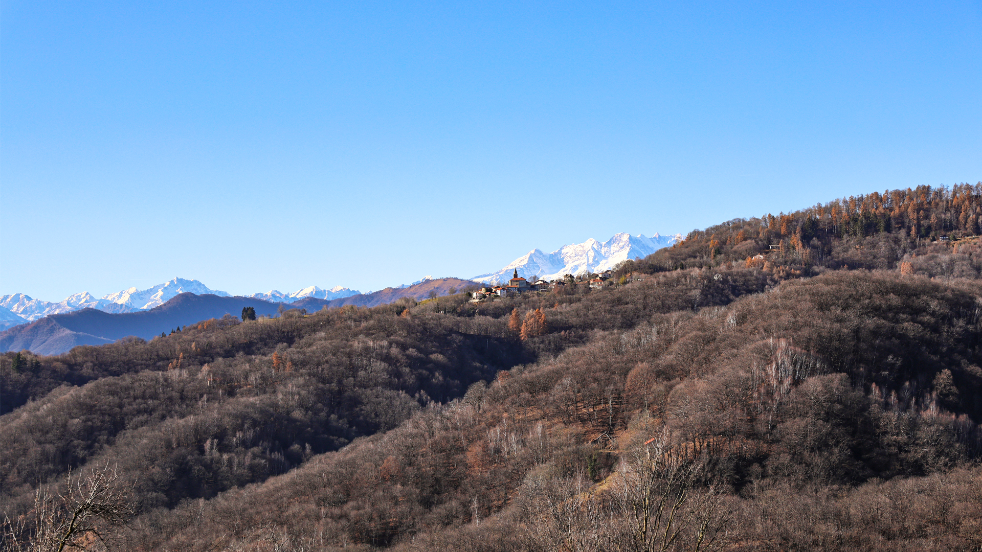
Along the route there are numerous panoramic points from which it is possible to admire the small village of Coiromonte, the Monte Rosa chain and Mottarone, with the characteristic "three mountains" of Monte Falò.
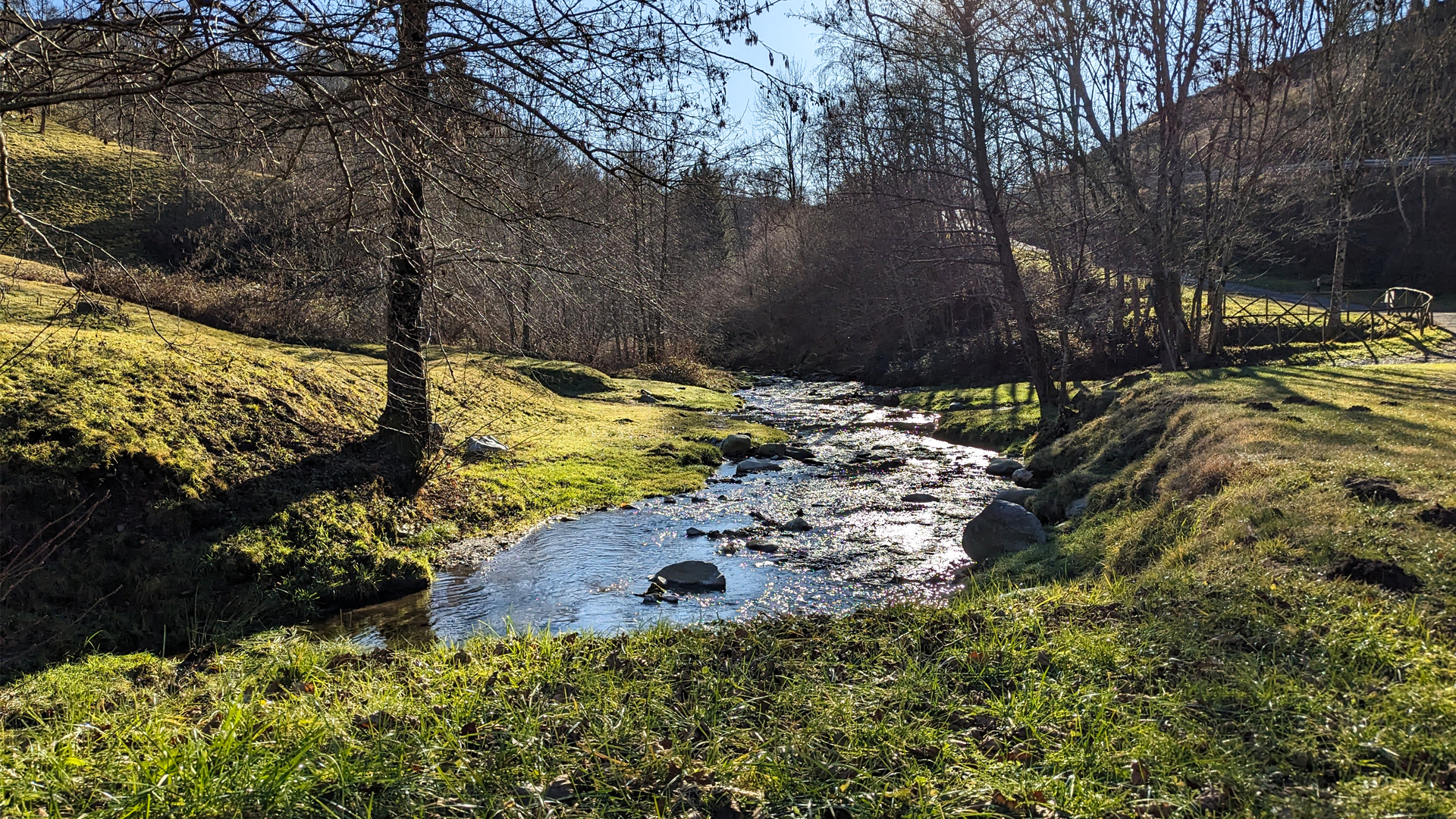
Downstream you also come across the Preja Grossa (large stone, in dialect), an erratic boulder with cup and ring stones. Often in Roman and pre-Roman times the populations used to make engravings on these enormous boulders. The meaning of these signs has been discussed for a long time without however reaching a univocal point of view and leaving different interpretations open, as in the case of the Preja Grossa of Sovazza which, being in an area that has always been dedicated to breeding, bears the signs of those which may have been propitiatory rites for agro-pastoral activities. It is hypothesized, in this case, that this type of engraving was used during rites to invoke or stop the rain.
Traveled on: Dec 20th, 2023

go to the map


 Length:
 Our time:
 Total climb:
 Min and max height:
 Type of track:
 Surface:
 Panorama:
 Cell network coverage:
 Traced in winter:
 Traced by bike:


