The itinerary reaches, step by step, those signs of the past that represent “the inner sanctum of rural knowledge”. These are unique signs made with talent, know-how and respect for the land, the nature and its elements.
The ring path starts from Casa dei Conti and winds up halfway reaching Val Stramba and Riale dell’Inferno (Hell’s creek), easily crossable with the help of a chain (during the periods of heavy rains, the crossing might be more difficult). The itinerary reaches Munzel Alp with its stone houses built in a row and the Dolmen: an ancient building made with large stones which was probably used as a tomb.
The trail proceeds upway towards Alpe Colla Superiore where an ancient water drain is visible, carved in the stones and used in the past to convey the water from the nearby “Riale dell’Inferno” (Hell’s creek). The itinerary proceeds in the woods reaching Alpe di Poscio and then the village of Sogno, where the “Museo della Civiltà Contadina” (museum of rural civilization) is present: here are collected items, tools, dresses and, most importantly, knowledge, names and common sayings, carefully arranged in handy cards free to consult.
The itinerary eventually reaches Varchignoli, with its megalithic site made of terraces with large stones, chambers with fake-vault roofs and the ancient water draining system, a work of great know-how and knowledge of the territory.
Erwandert am: 24. Okt 2021
Aktualisiert am: 18. Aug 2024

zur Karte gehen


 Streckenlänge:
 Gehzeit:
 Höhenunterschied:
 mind. und max. Höhenmeter:
 Art der Tour:
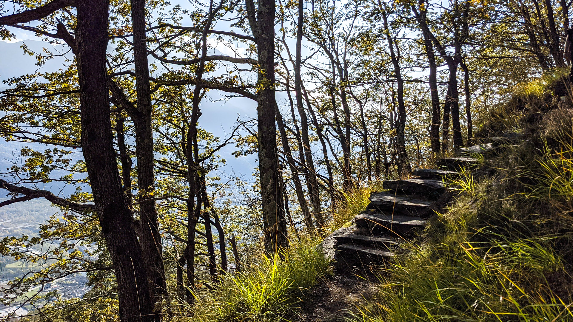
 Oberfläche:
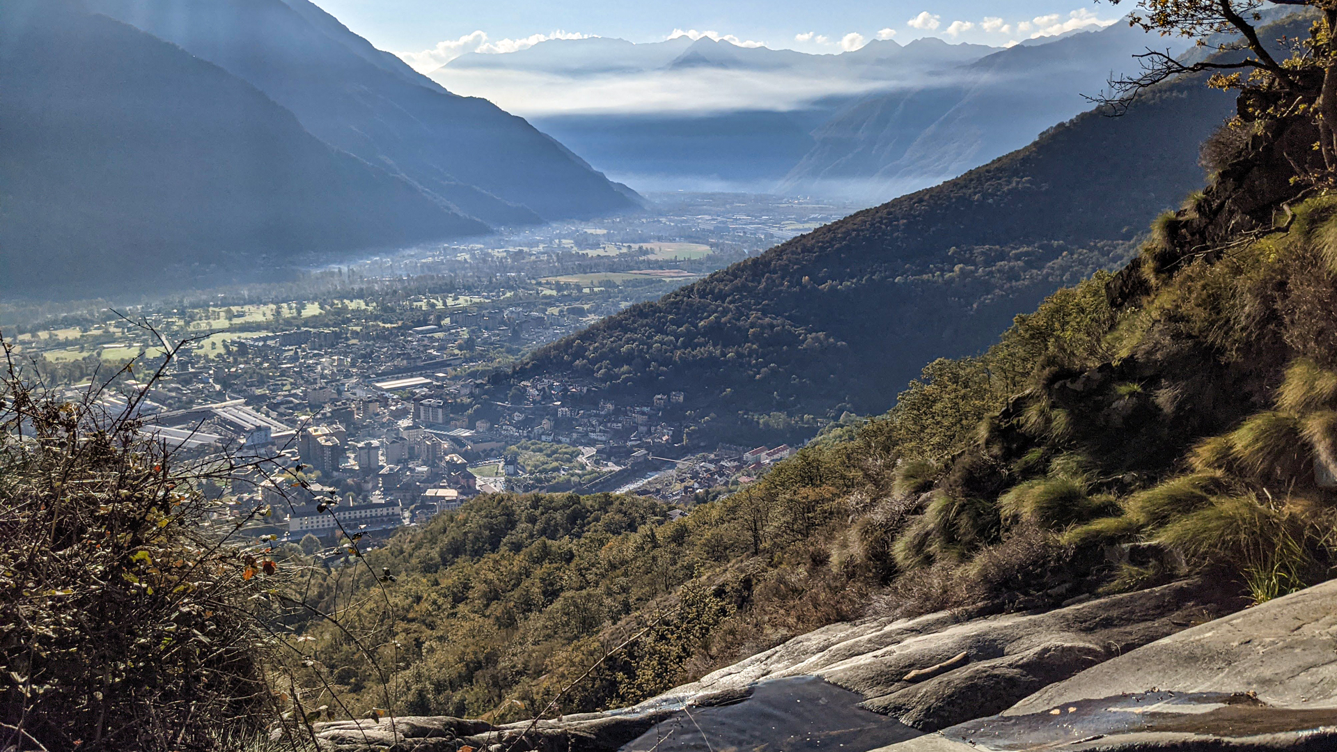
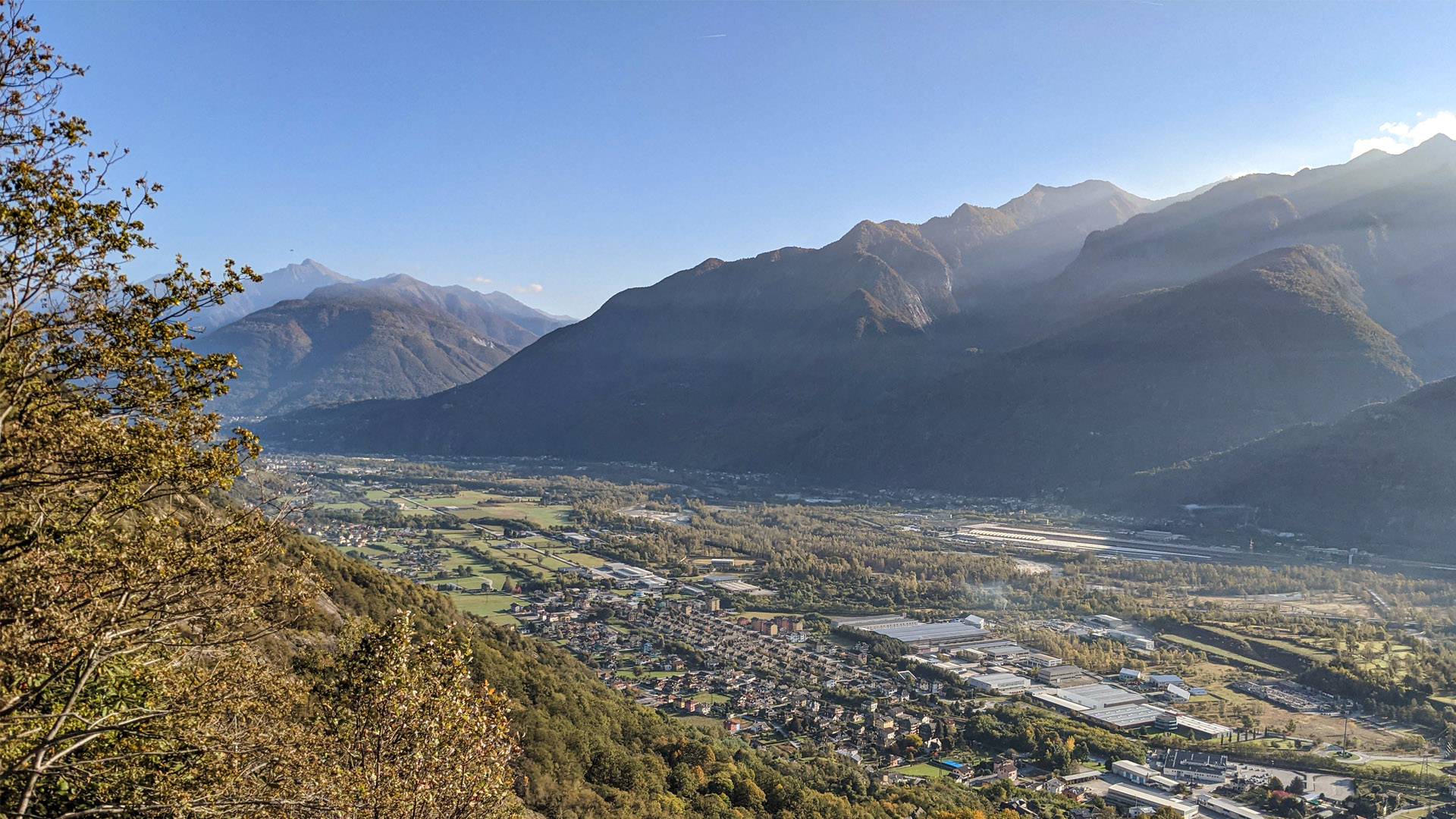
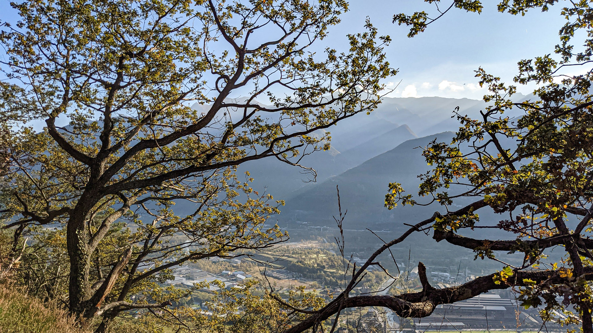
 Panorama:
 Netzvempfang:
 Im Winter:
 Mit dem Fahrrad:


