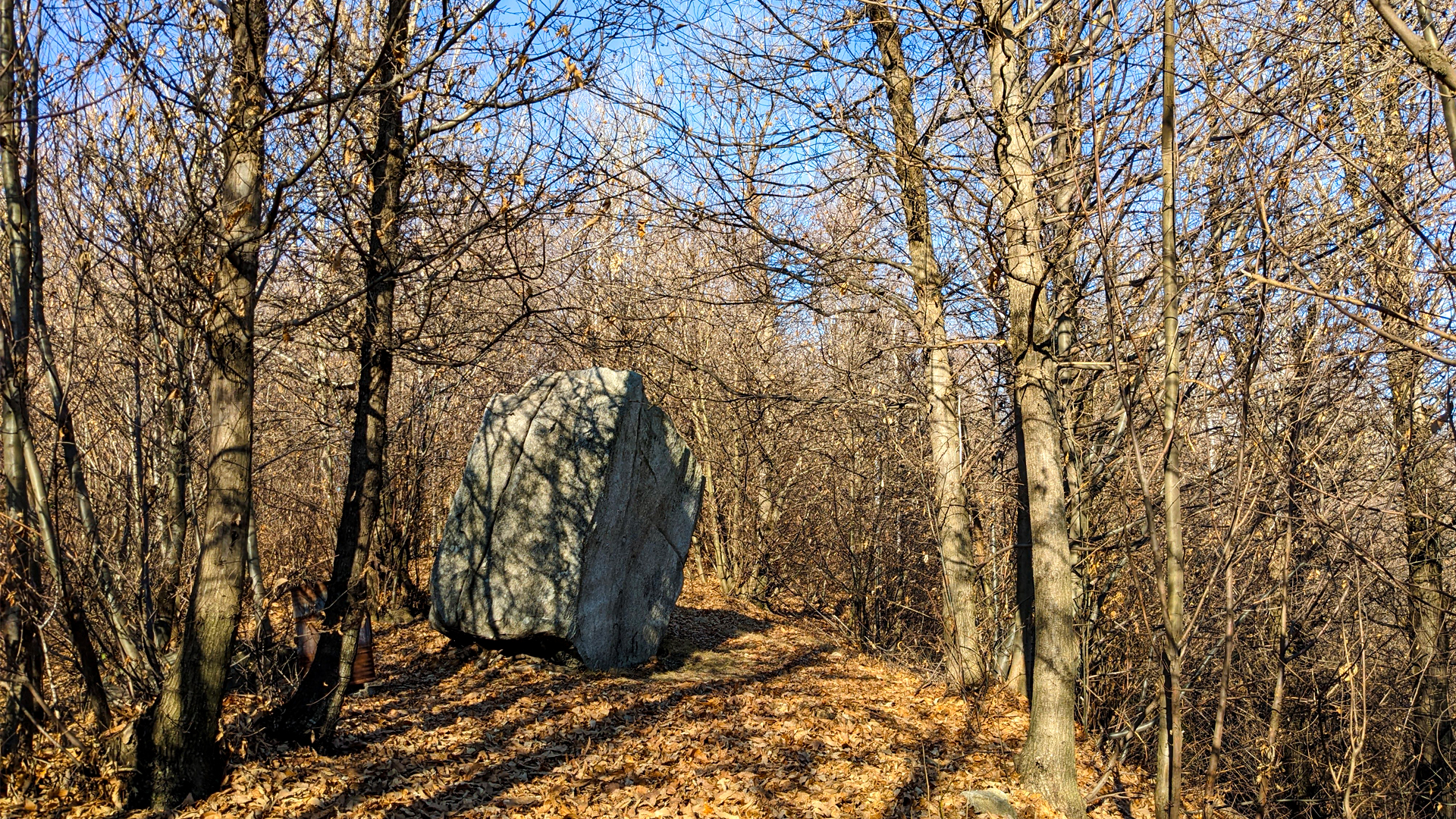
The huge stone sitting on the soft hills of Vergante has always sparked a lot of interest, so much so that the Celtic engraved some crosses on its surface and, moreover, a legend tells that on the stone there is the print of Devil’s behind, who used to sit on the Sass Priatecia, which took the name of Sasso del Diavolo (Devil’s stone).
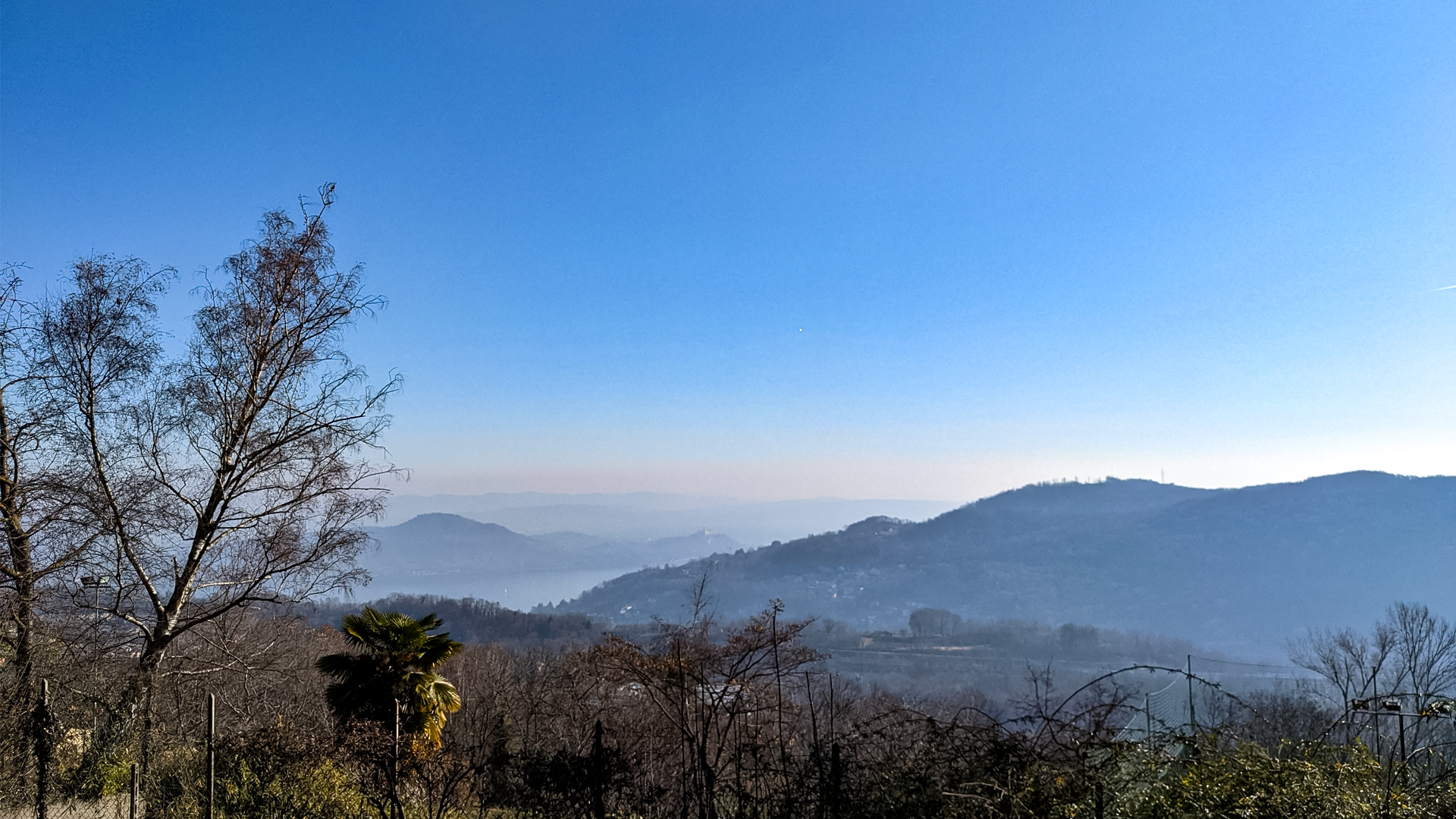
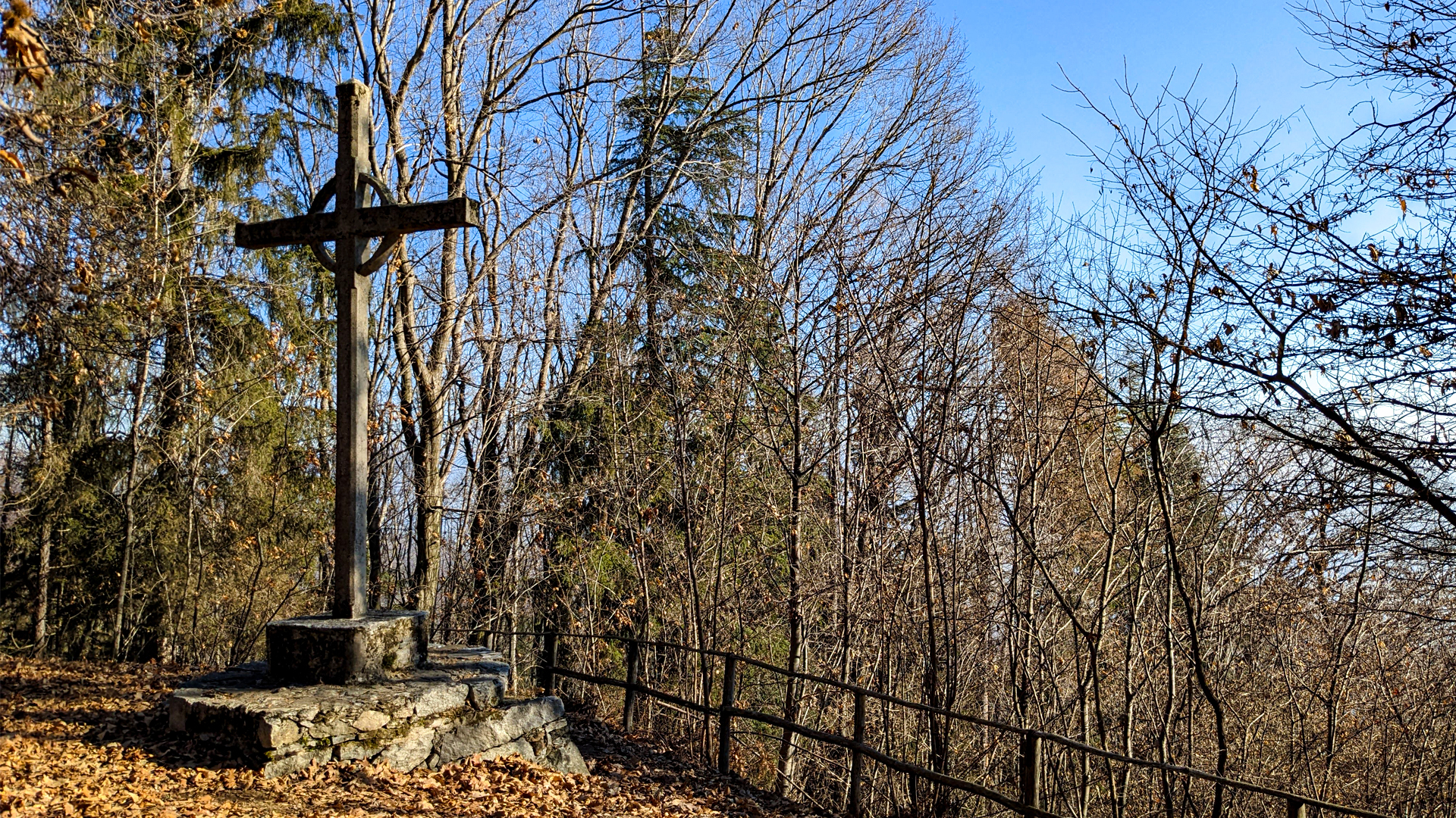
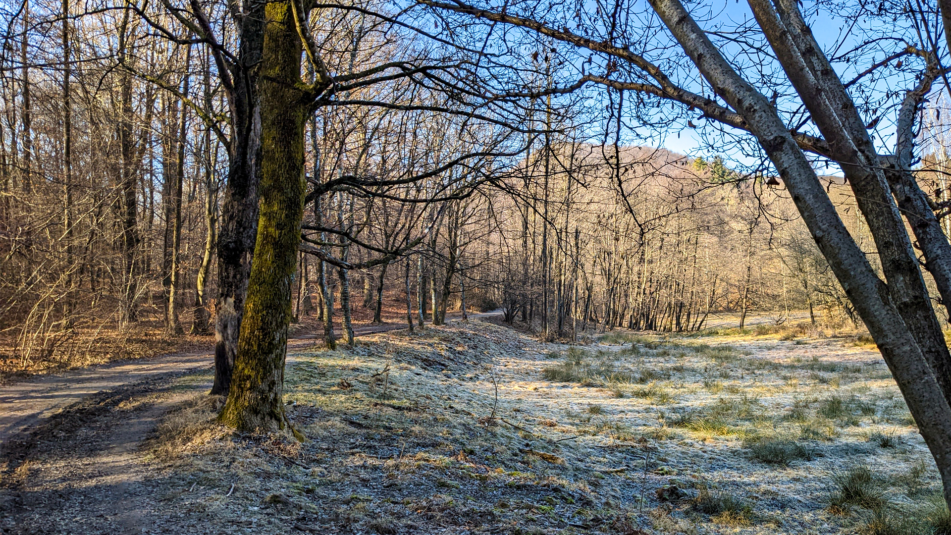
The itinerary starts from Colazza’s center, goes along the trail from La Rana, following Terzago creek, reaches the borders of Tapigliano and goes up along the slopes of Motta dell’Arbujera, where a stone cross is built, from which the Lake Maggiore and, far away, the Rocca di Angera can be seen.
The Devil’s Stone is a serizzo rock, about 3.5mt tall, of which, unfortunately, a large part of its material has been taken away in the past years. These huge stones always sparked a lot of curiosity: their being lonely, majestic and unusual gave birth to many myths and legends that explained their origin. Only in tha last years of 1800 the geologists could prove that the origin of these rocks was due to the glaciers that, by receding, left the heaviest sediments on these hills. The CAI immediately understood their historical and scientific importance, so much so that the Italian Glacier Committee was established, with the purpose of studying the alpine glaciers.
Since 1922 these huge erratics have been protected as environmental heritage to be preserved.
Follow the itineraries that lead to the discovery of glacial erratics:
Sass Malò and Pieve of San Martino
The large ring from Dagnente to Montrigiasco
The glacial erratic of Dagnente

zur Karte gehen


 Streckenlänge:
 Gehzeit:
 Höhenunterschied:
 mind. und max. Höhenmeter:
 Art der Tour:
 Oberfläche:
 Panorama:
 Netzvempfang:
 Im Winter:
 Mit dem Fahrrad:


