Lade eine App auf Deinem Smartphone-Store herunter, um die GPX-Tracks anzuzeigen.
Einige Apps, wie Komoot und Wikiloc, bieten eine (kostenpflichtige) Track-Navigator-Funktion.


 Click here to watch the video!


 https://www.itinerarium.it/reiseroute/174/hike-to-pietra-di-bismantova


 Streckenlänge:
 Gehzeit:
 Höhenunterschied:
 mind. und max. Höhenmeter:
 Art der Tour:
 Oberfläche:
 Panorama:
 Netzvempfang:
 Im Winter:
 Mit dem Fahrrad:
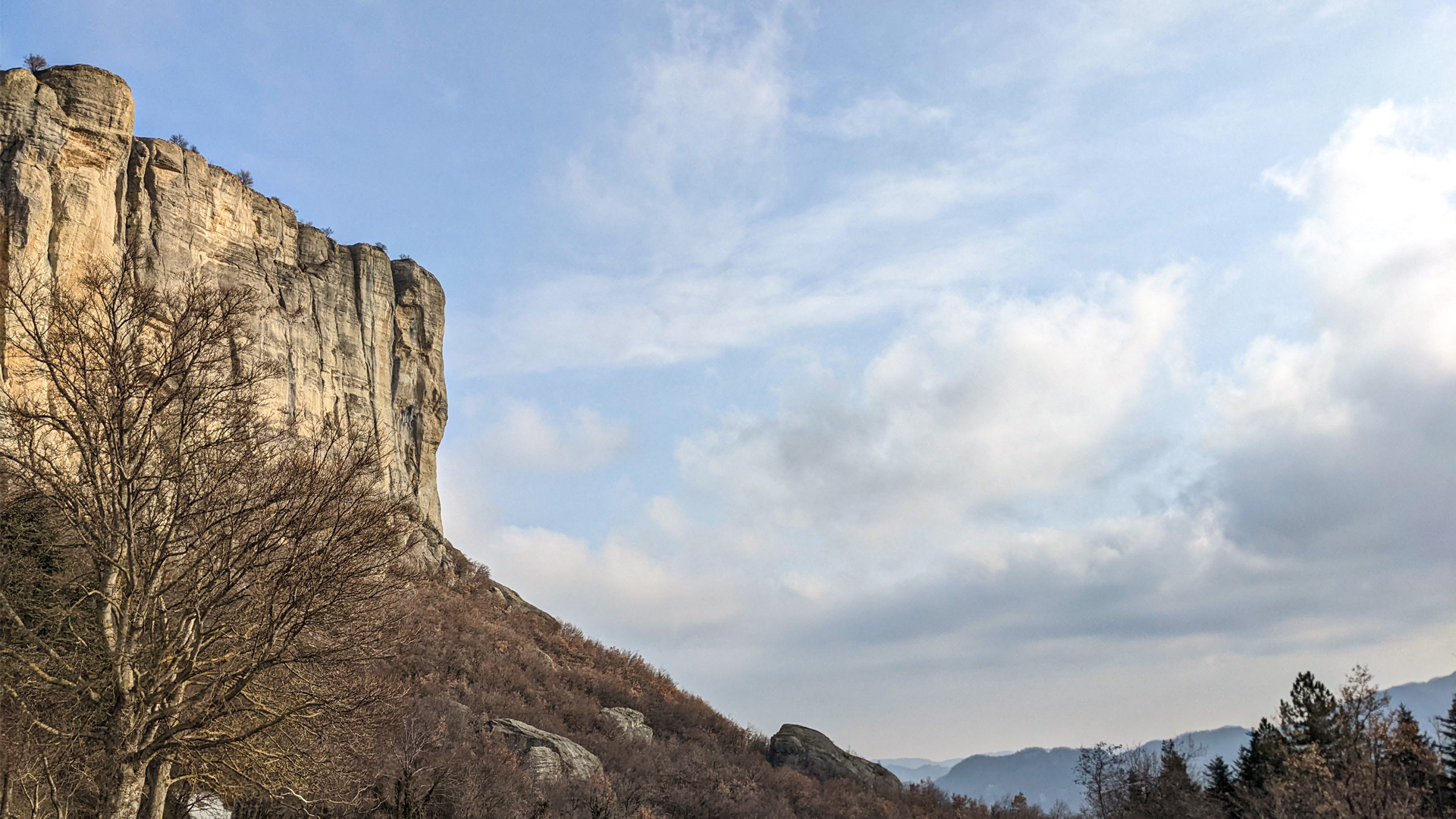
“A deep feeling, a lump in his throat, feels the traveler when he sees, for the first time, the gigantic anvil of rock raise up in the sky, with its crescent-shaped slope and its flat and oblique peak” _Mario Soldati 1965.
The Pietra di Bismantova, “geologic craziness”, is an unmistakable rock formation that emerges in the Apennine Mountains of Reggio Emilia, and it’s a gigantic example of residual erosion. So unique and majestic, this monolith that stands out among the soft hills has inspired Dante Alighieri for his Canto IV of the Divine Comedy, where the Mount Purgatory is described with the same characteristics of Pietra di Bismantova!
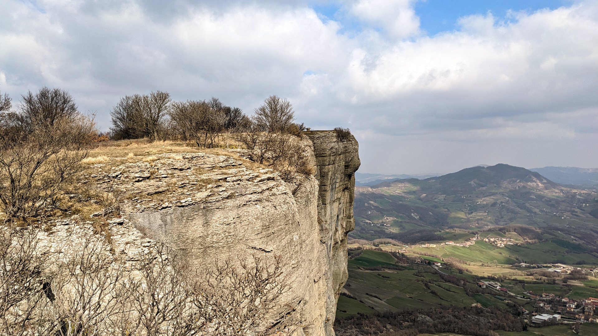
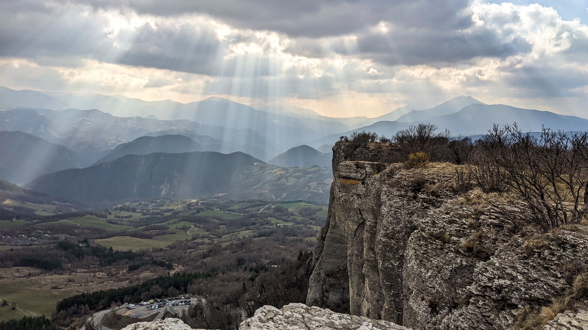
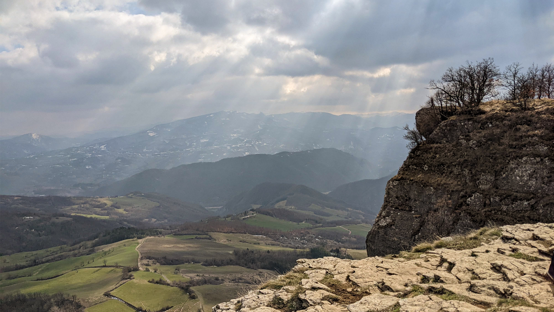
The ring itinerary starts from Piazzale Dante and goes along the base of the Pietra until the archeological site of Campo Pianelli, follows the Lazzaro Spallanzani trail (a famous naturalist of ‘700) going up until the peak of the Pietra where it meets the archeological site of Castelletto, with the scarce remains of an Etruscan castle. From the flat summit there is a 360° panorama on the hills of Castelnovo ne’ Monti and on the peaks of the Apennine.