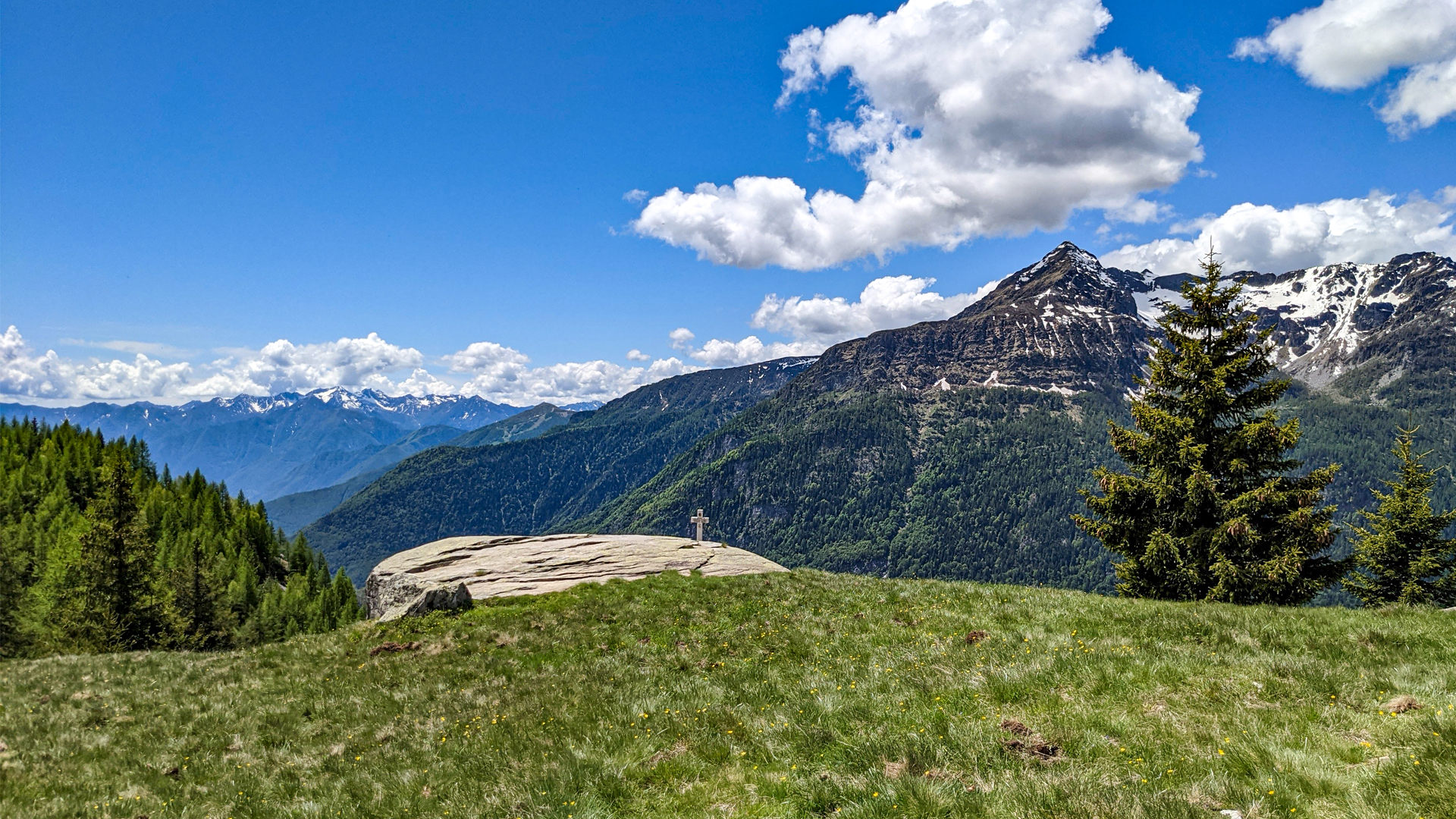
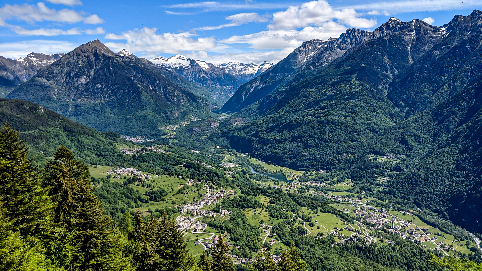
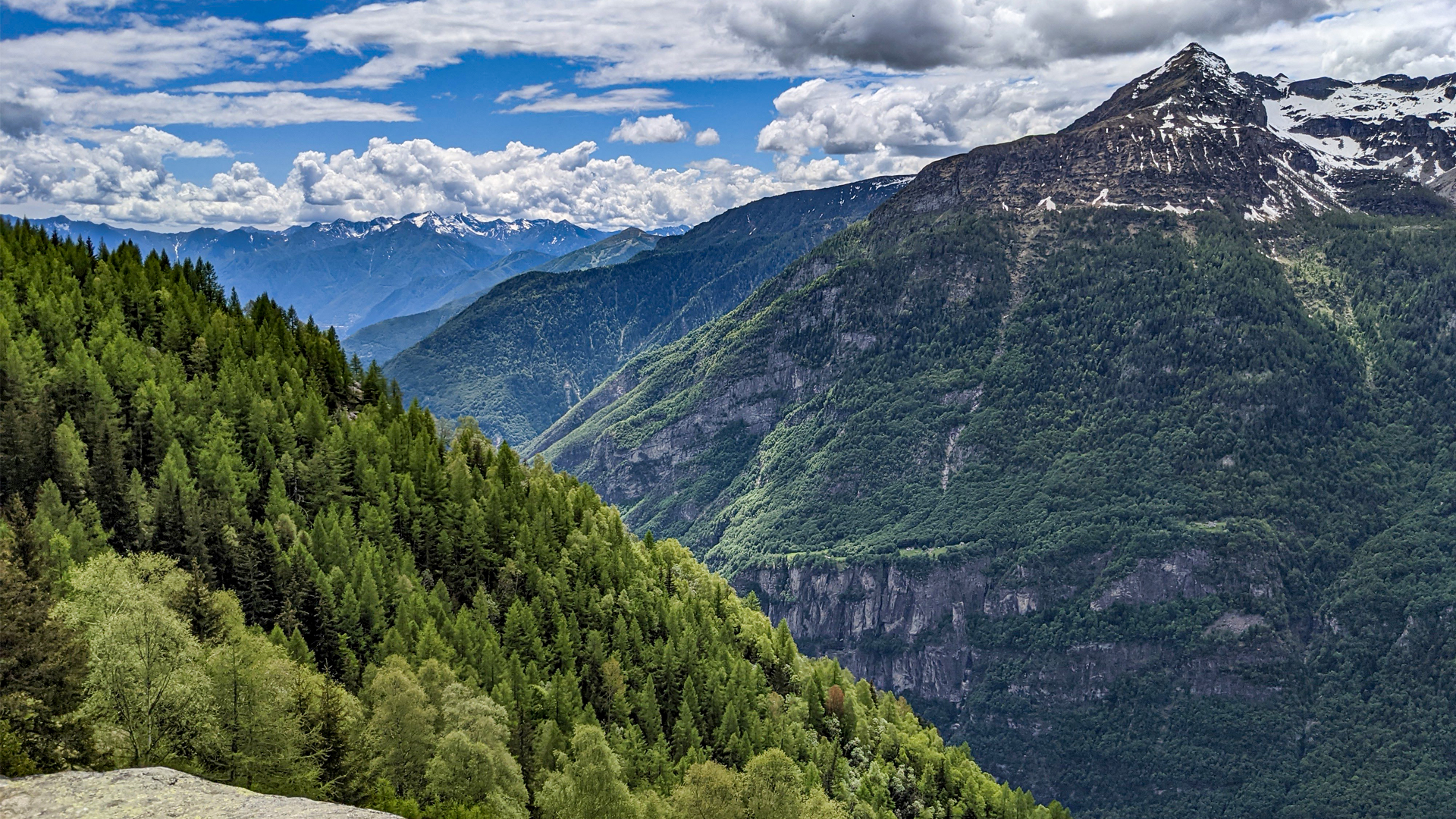
The itinerary starts from Foppiano, known for some rocks used by climbers for “bouldering”. The most peculiar is the Sass Fendù (split stone in dialect), so called because of its characteristic crevice. The trail develops on the slope until Alpe La Cappella, where a panoramic view opens on Valle Antigorio.
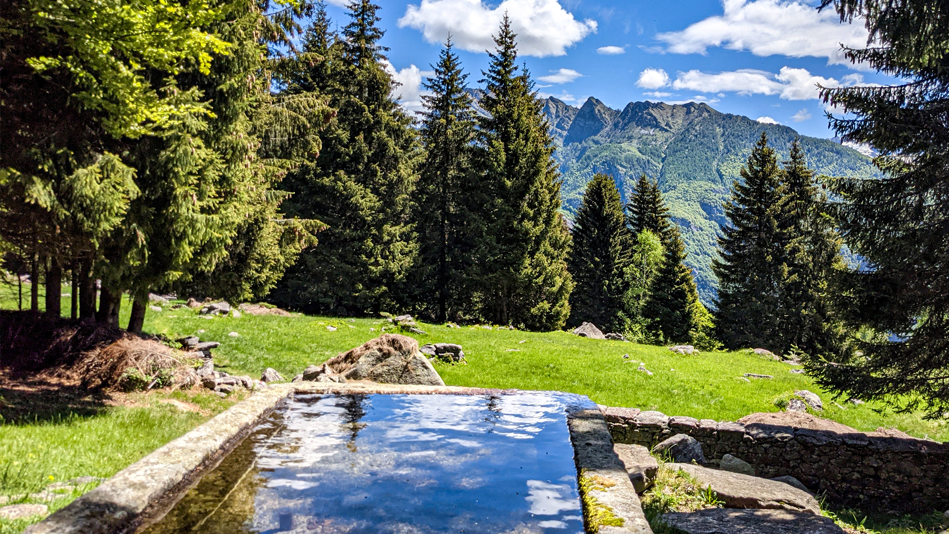
Following the trail, Alpe Cheggio is reached, where a “canva”, a cellar, is present. It’s made thanks to the position of a rock that, rolling down towards the valley, eventually stopped leaving an underneath cavity, used to keep the food cool. Nearby the pasture there is the large water tank, built in 1977 by digging a huge glacial erratic, and the Monumental Fir, a red fir which is one of the 26 Monumental Firs of Piedmont. Since October 2022, the fir, with its 410 cms of circumference, has been removed from the list as it's been defined as "dead standing".
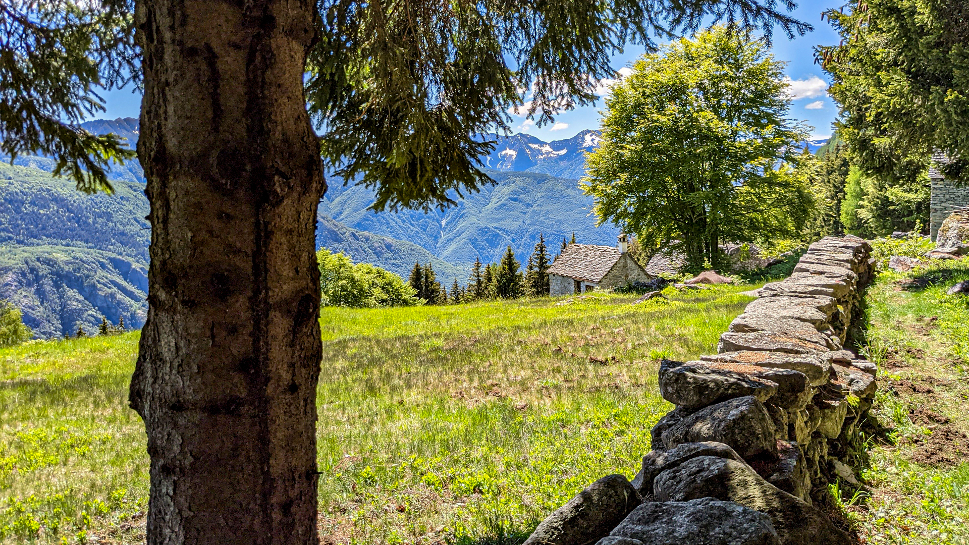
The itinerary reaches Alpe Genuina: a clearing on the slope that divides Valle Antigorio from Val Divedro. Here are the remains of a typical rural mountain settlement, with stone lodges, wells to pick the water and stone walls used to mark the farms’ borders.
Erwandert am: 6. Jun 2021

zur Karte gehen


.jpg)


 Streckenlänge:
 Gehzeit:
 Höhenunterschied:
 mind. und max. Höhenmeter:
 Art der Tour:
 Oberfläche:
 Panorama:
 Netzvempfang:
 Im Winter:
 Mit dem Fahrrad: