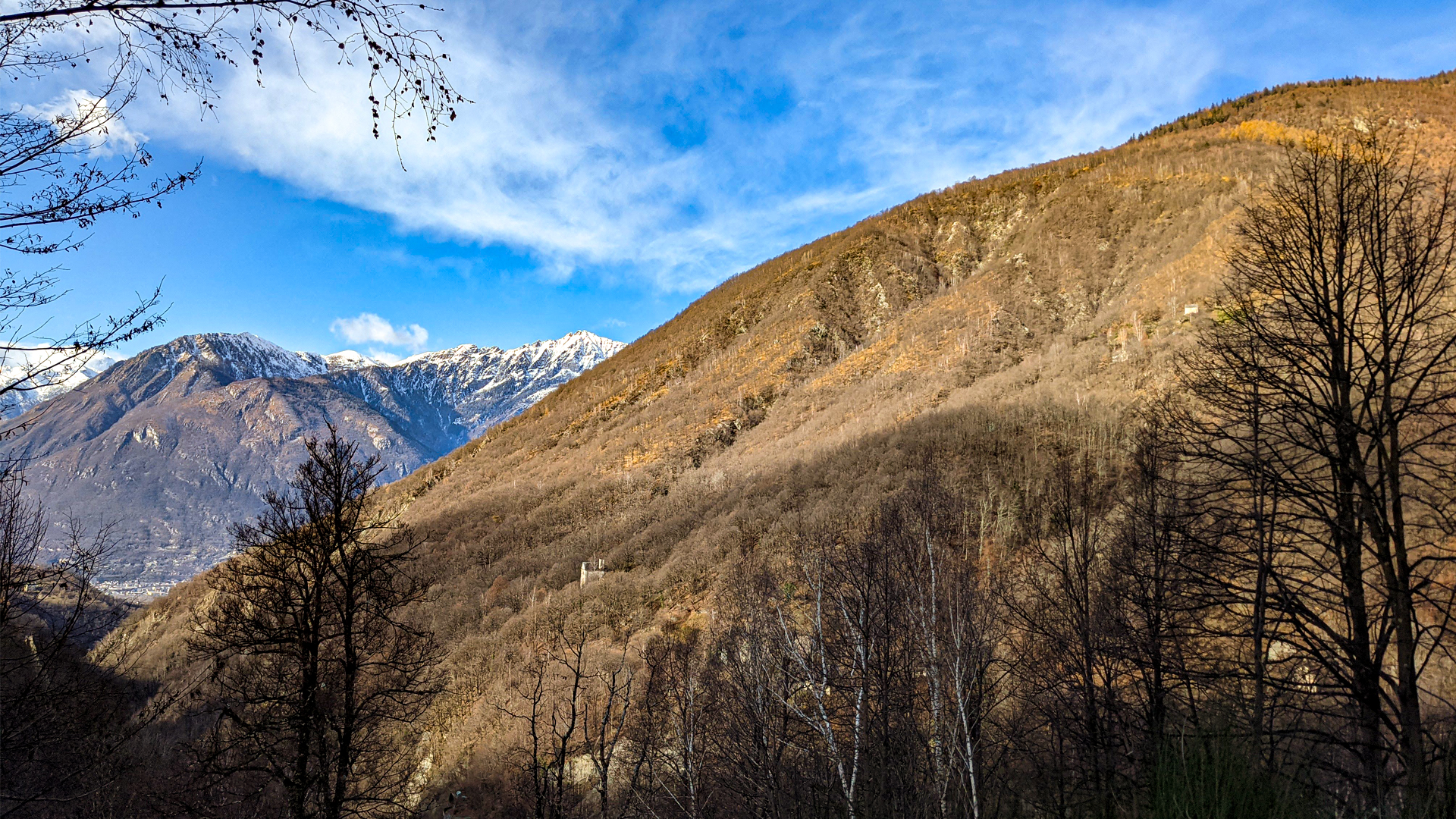
This itinerary develops among small hamlets in the town of Trontano, facing the Melezzo Occidentale in Valle Vigezzo.
The trail starts from Verigo, at the end of the vehicle accessible road, and reaches the abandoned town of Marone along ancient mule tracks, among chestnut woods and old terracings once dedicated to the renowned vine cultivation.
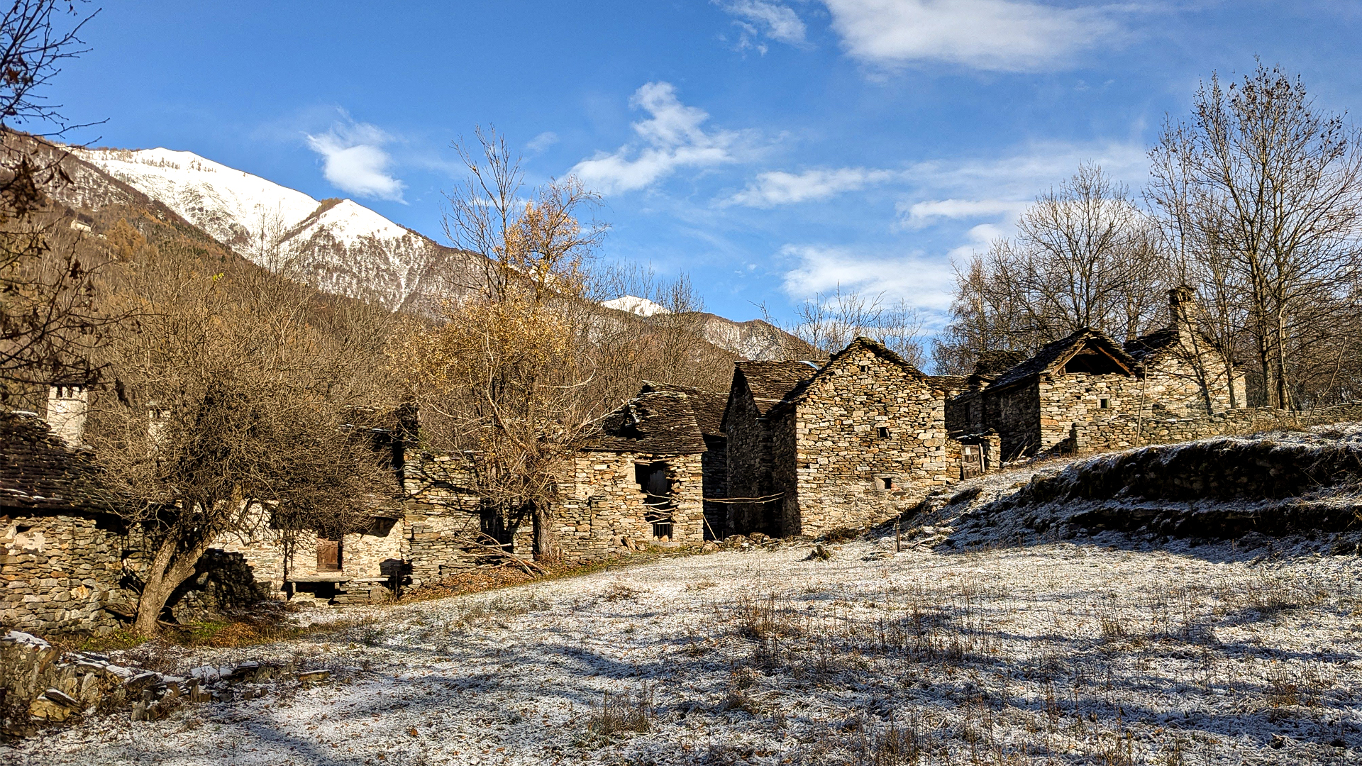
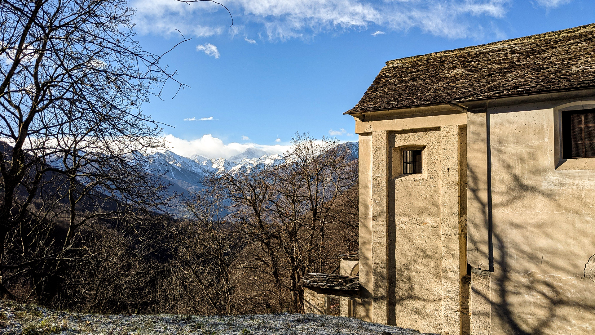
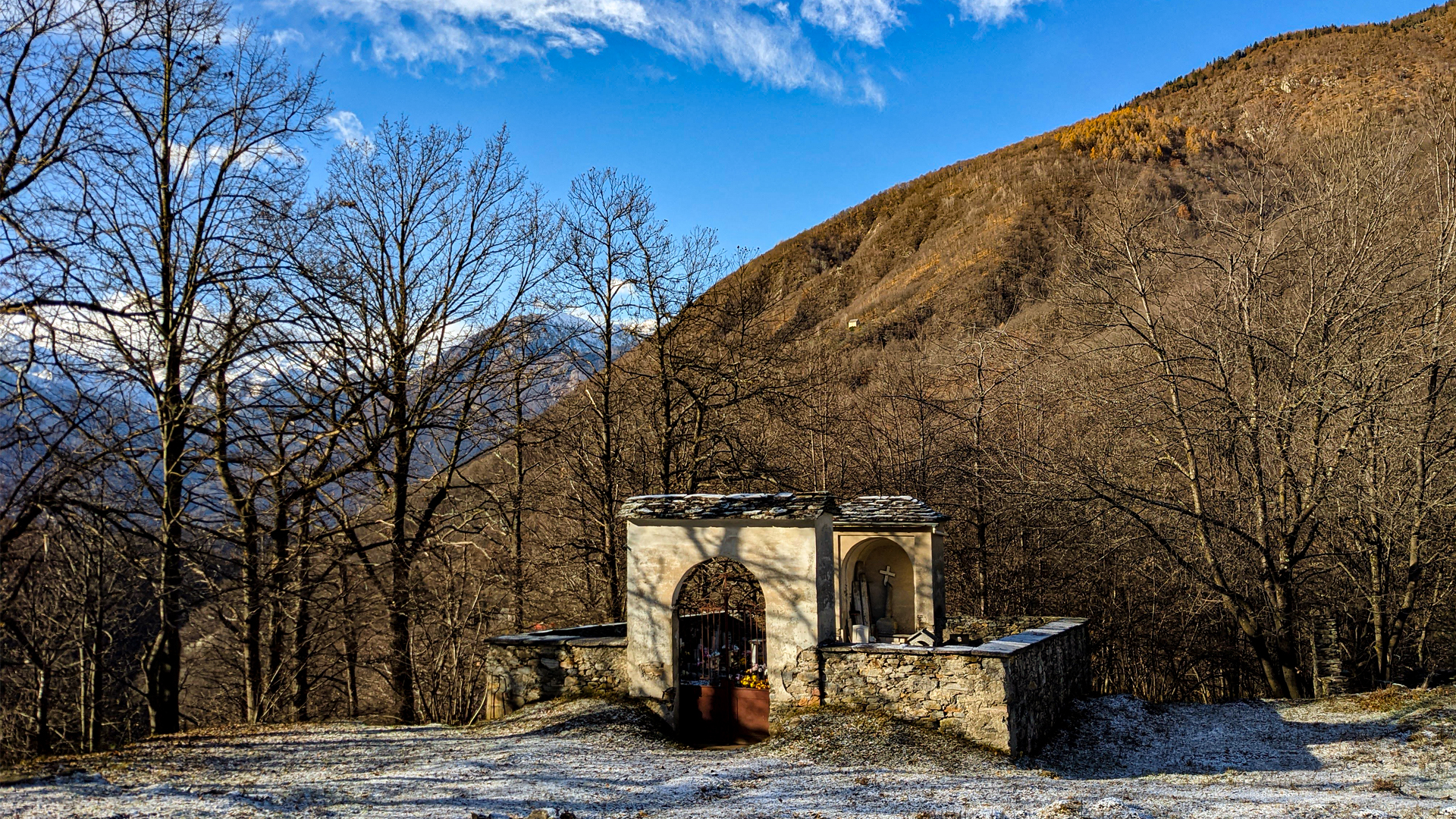
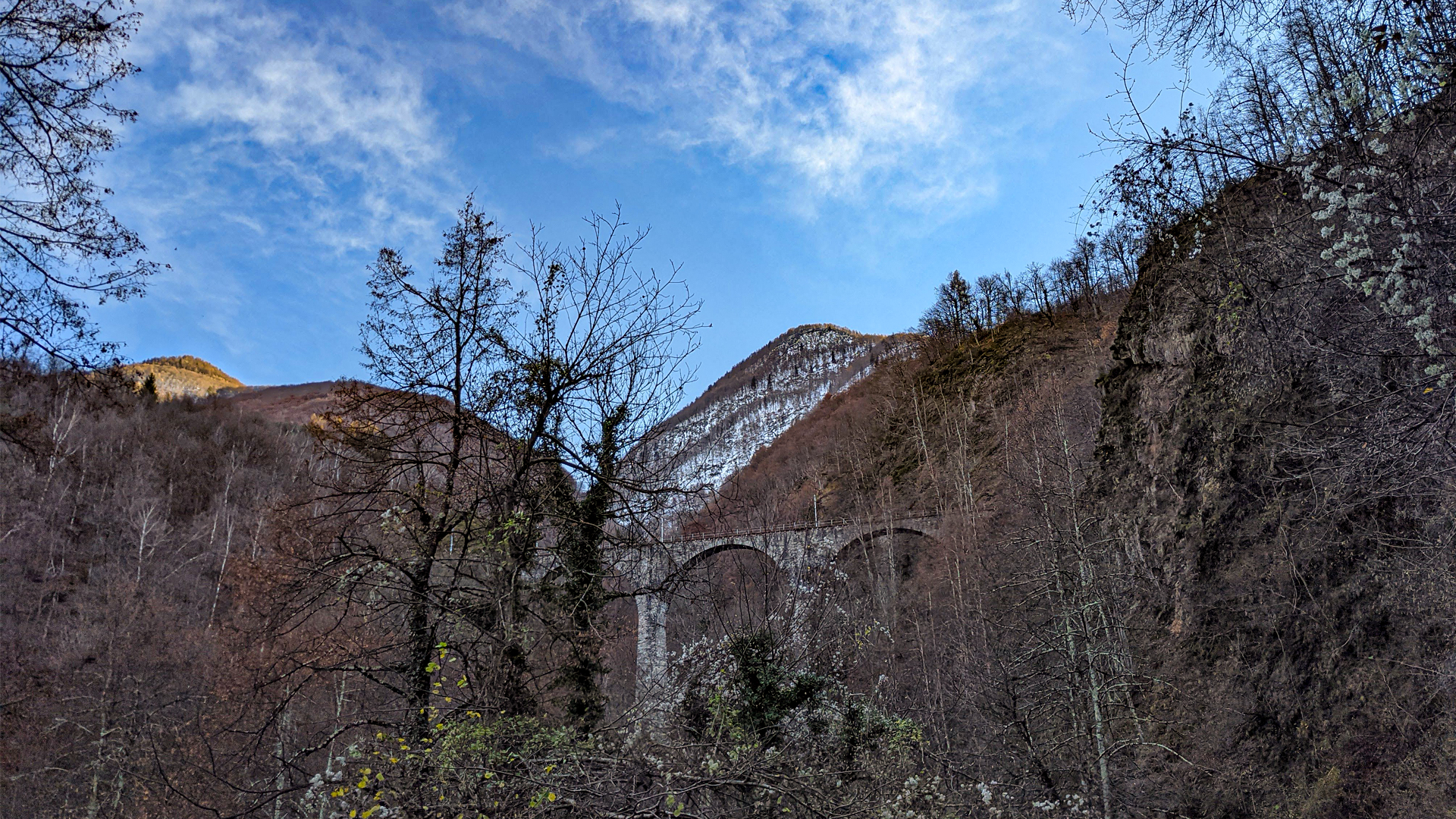
The town of Marone shows the typical stone buildings dating back to about 1200, rich with those details that tell the mastery and knowledge of a past time. In 1932 the last Mass of the town was celebrated, then Marone was abandoned and its inhabitants moved to the opposite slope, in the town of Paiesco. Since then, Marone is left in a state of complete abandonment, in an almost hanging atmosphere where only the station of the Vigezzina-Centovallina railway and the small cemetery are active. The dead of Paiesco, in fact, where carried with great effort by the Corpo Civici Pompieri (civic firefighters unit) of Trontano to the small cemetery of Marone: with the heavy casket they went down to the bridge on Melezzo river and climbed up the slope to 660 meters a.s.l. for the burial.
Erwandert am: 28. Nov 2021

zur Karte gehen


 Streckenlänge:
 Gehzeit:
 Höhenunterschied:
 mind. und max. Höhenmeter:
 Art der route:
 Oberfläche:
 Panorama:
 Netzvempfang:
 Im Winter:
 Mit dem Fahrrad:


