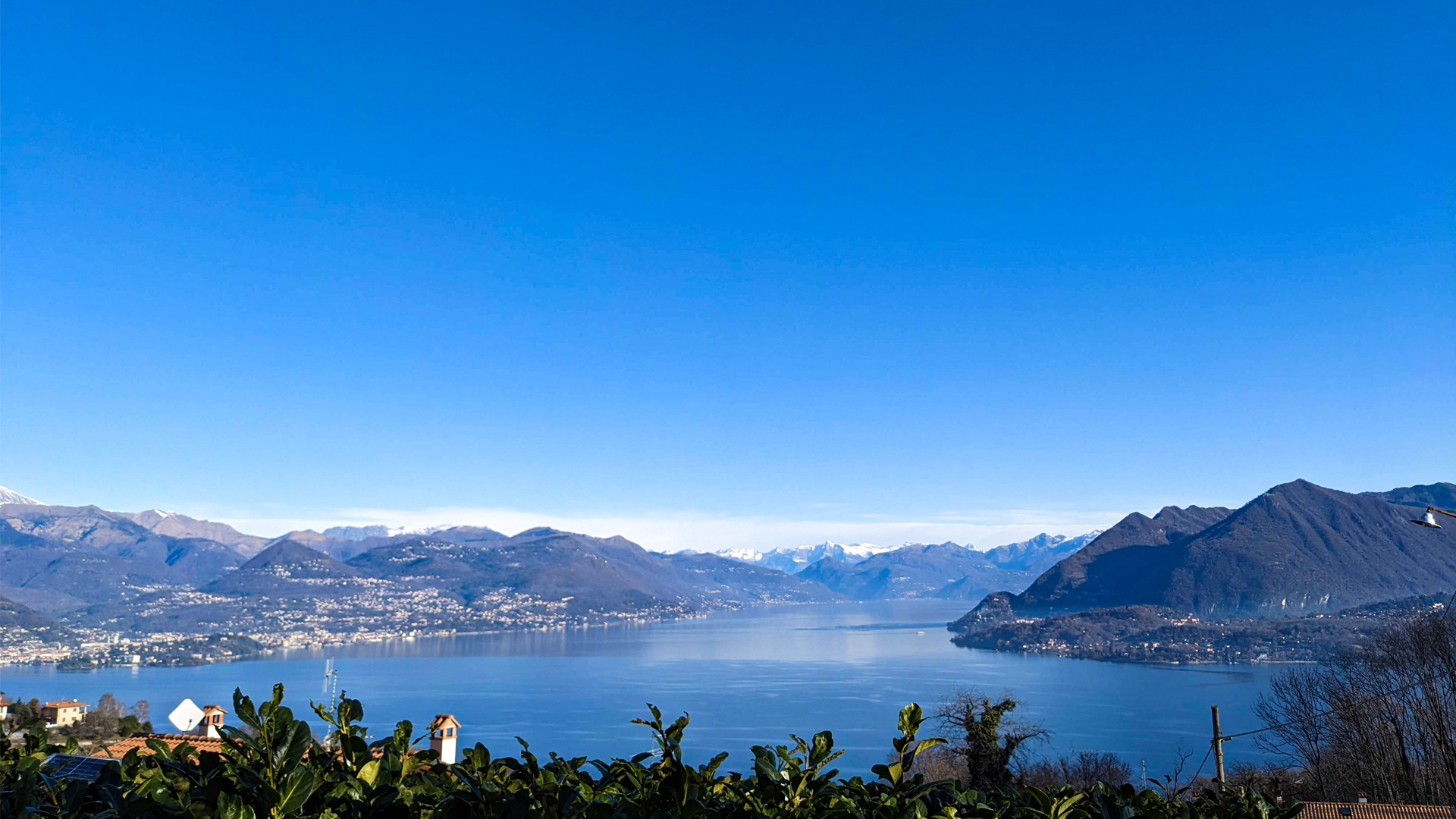
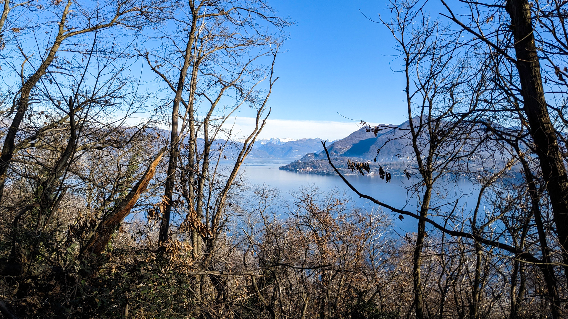
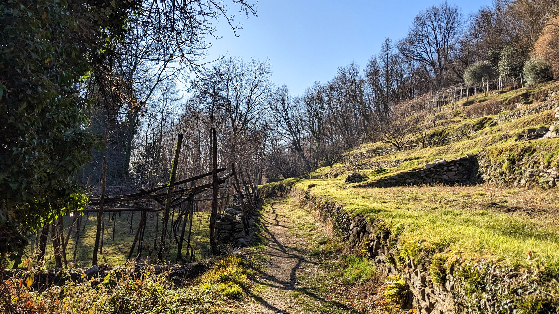
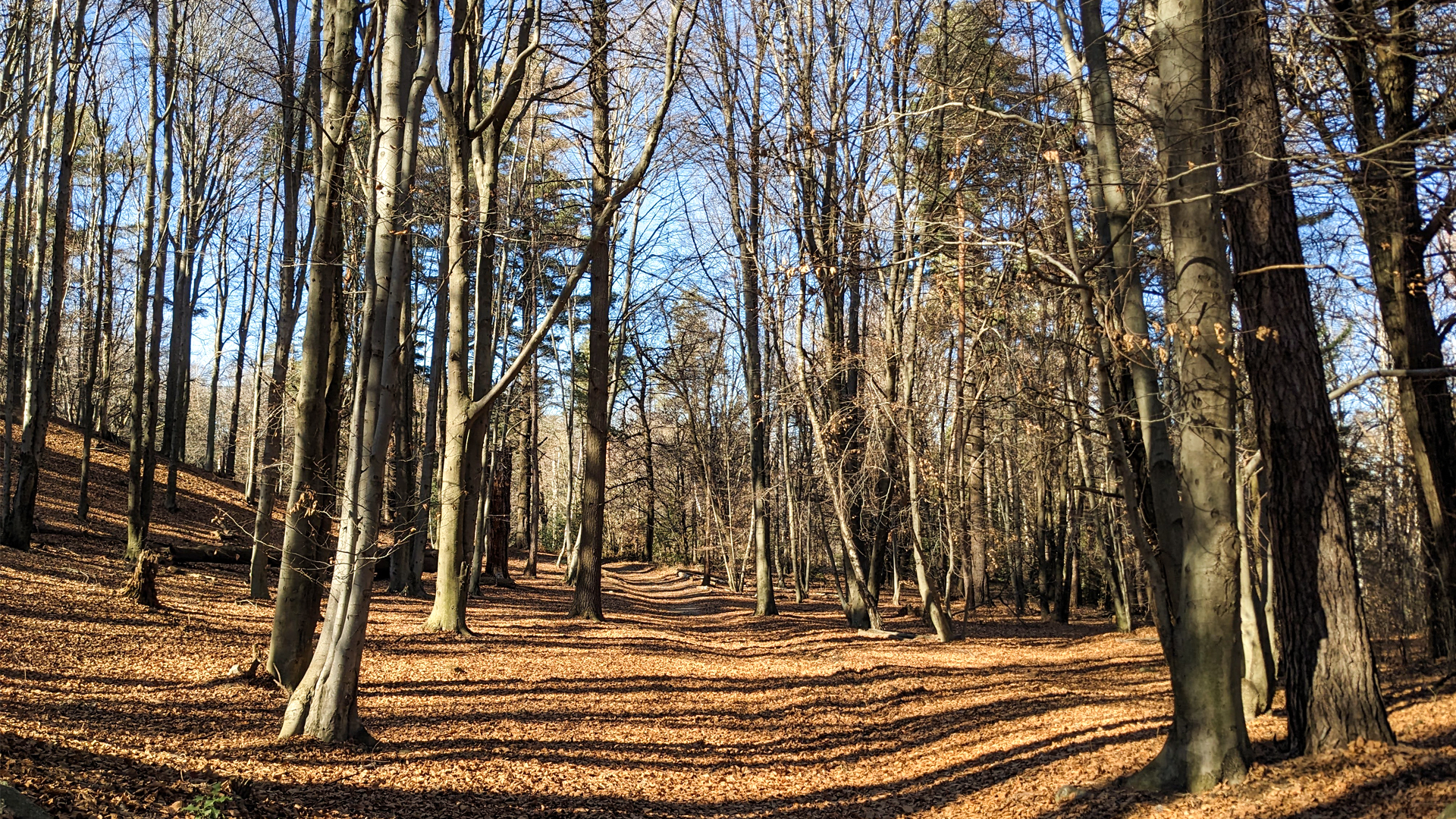
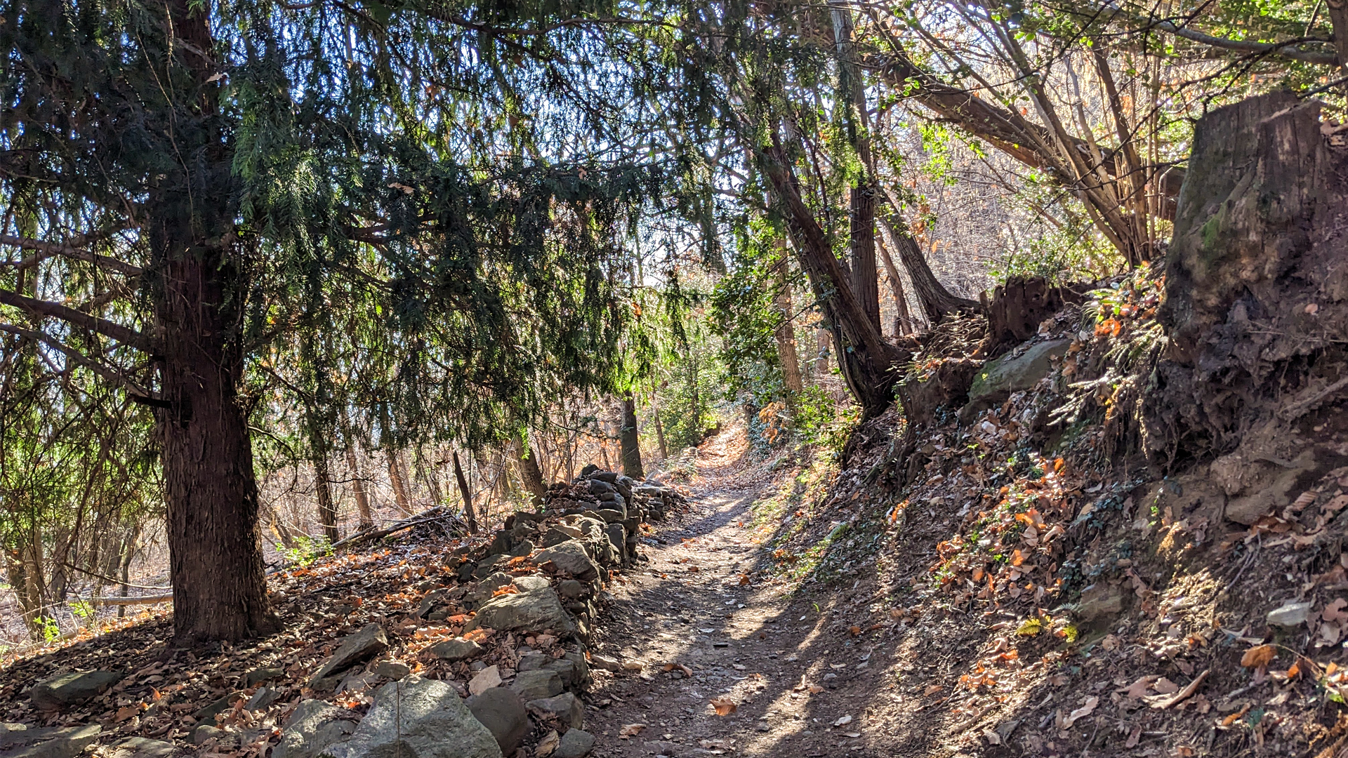
The itinerary develops along ancient mule tracks, halfway up the hills facing the basin of Lake Maggiore. This hike among the towns of Stresa, Belgirate and Lesa crosses Magognino, Falchetti, Pünc and Calogna, following a trail characterized by the alternation of small towns, woods, terraced slopes and historic traces that testify the importance of these lands already in pre-Christian age.
The articulated and panoramic itinerary crosses the places that were the Lands of Lepontii, an ancient Celtic, or Ligurian, population, which settled across the western Alps around 1000 B.C. Their main city was named Oscela, today’s Domodossola. In Magognino, during a dig in the 30s, some tombs were found, covered with stone slabs similar to those found half a century before in Levo, and dating back to the Lepontii. Also in the surroundings of the small oratory of San Paolo some tombs were found, delimited by stone slabs dating back to the period when the Romans inhabited these lands.
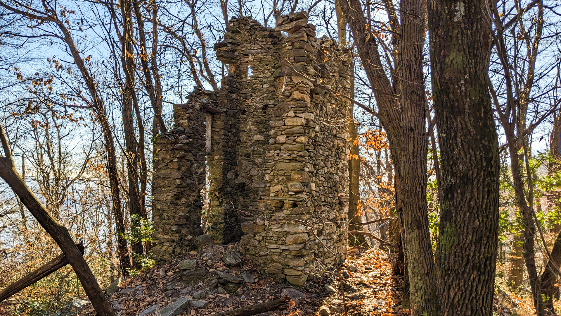
The trail reaches the church of Sant’Albino with its peculiar steeple and eventually the remains of Rocul (roccolo): a two stories building, usually set on a hill, surrounded in half circle by trees or pergolas on which nets were set to capture the birds.
Erwandert am: 13. Jan 2023
Aktualisiert am: 1. Jan 2025

zur Karte gehen


 Streckenlänge:
 Gehzeit:
 Höhenunterschied:
 mind. und max. Höhenmeter:
 Art der Tour:
 Oberfläche:
 Panorama:
 Netzvempfang:
 Im Winter:
 Mit dem Fahrrad:


