Lade eine App auf Deinem Smartphone-Store herunter, um die GPX-Tracks anzuzeigen.
Einige Apps, wie Komoot und Wikiloc, bieten eine (kostenpflichtige) Track-Navigator-Funktion.
Lade den GPX-Track der gewünschten Tour herunter.
Lade die Strecke* auf die App hoch und folge der Tour, orientiere Dich aber auch an den CAI-Wegweisern.
Vor einer Tour informiere Dich immer über das Wetter!
*GPX-Tracks sind nicht getestet worden.
Vor einer Tour informiere Dich immer über das Wetter!
*GPX-Tracks sind nicht getestet worden.


 Streckenlänge:
 Gehzeit:
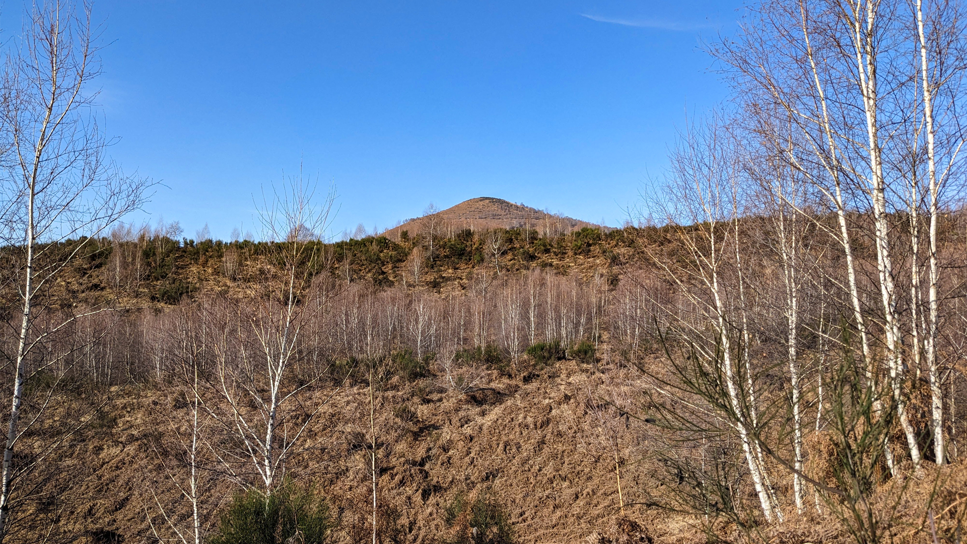
 Höhenunterschied:
 mind. und max. Höhenmeter:
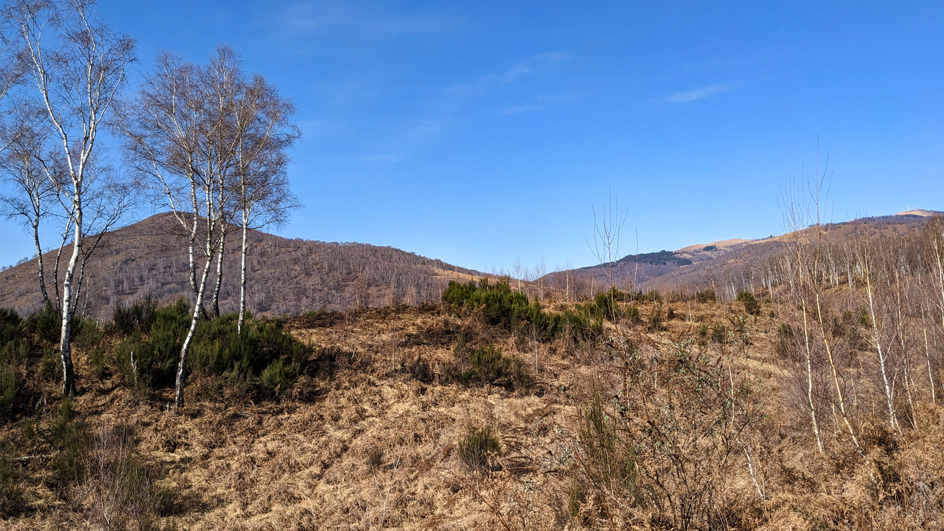
 Art der Tour:
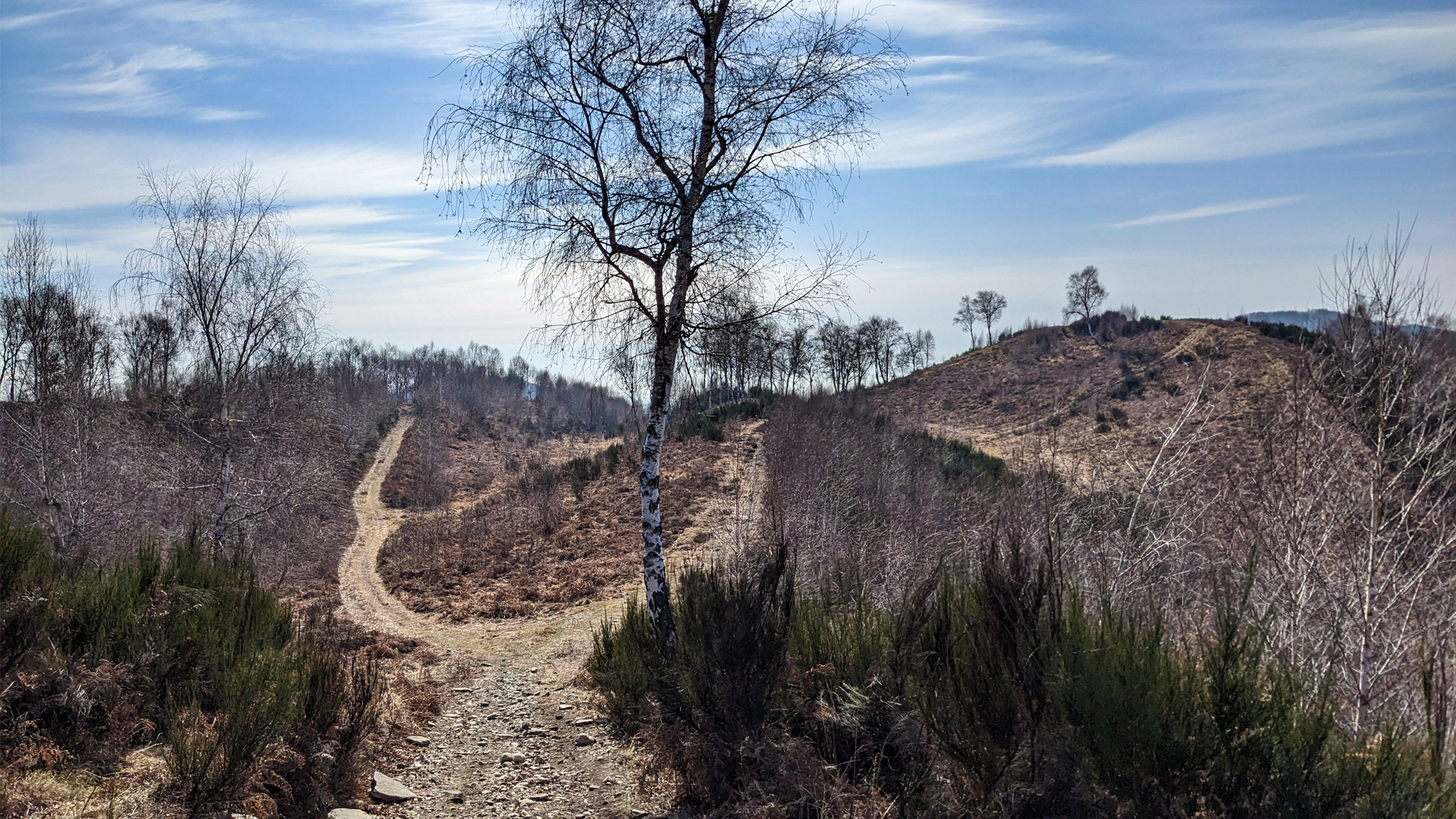
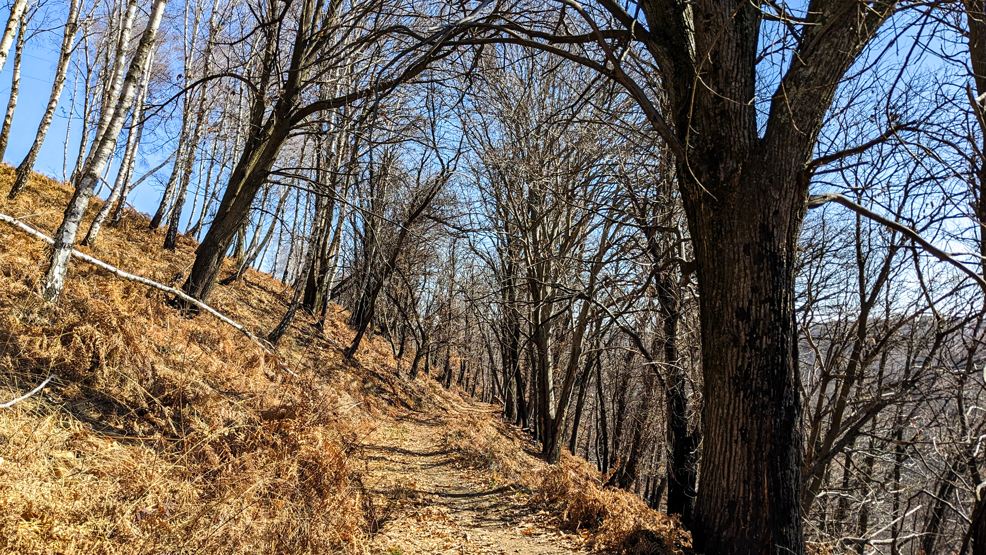
 Oberfläche:
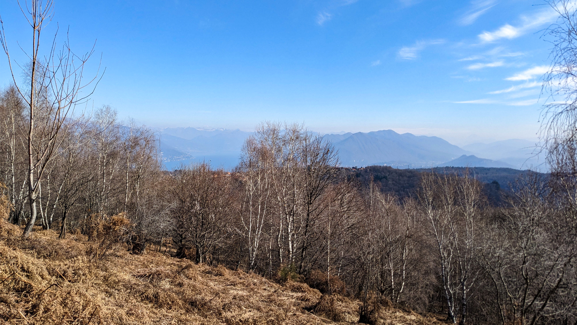
 Panorama:
 Netzvempfang:
 Im Winter:
 Mit dem Fahrrad:


