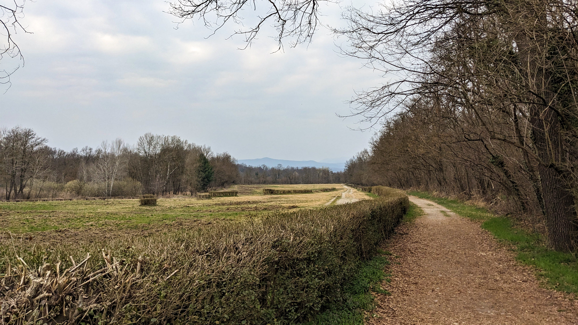
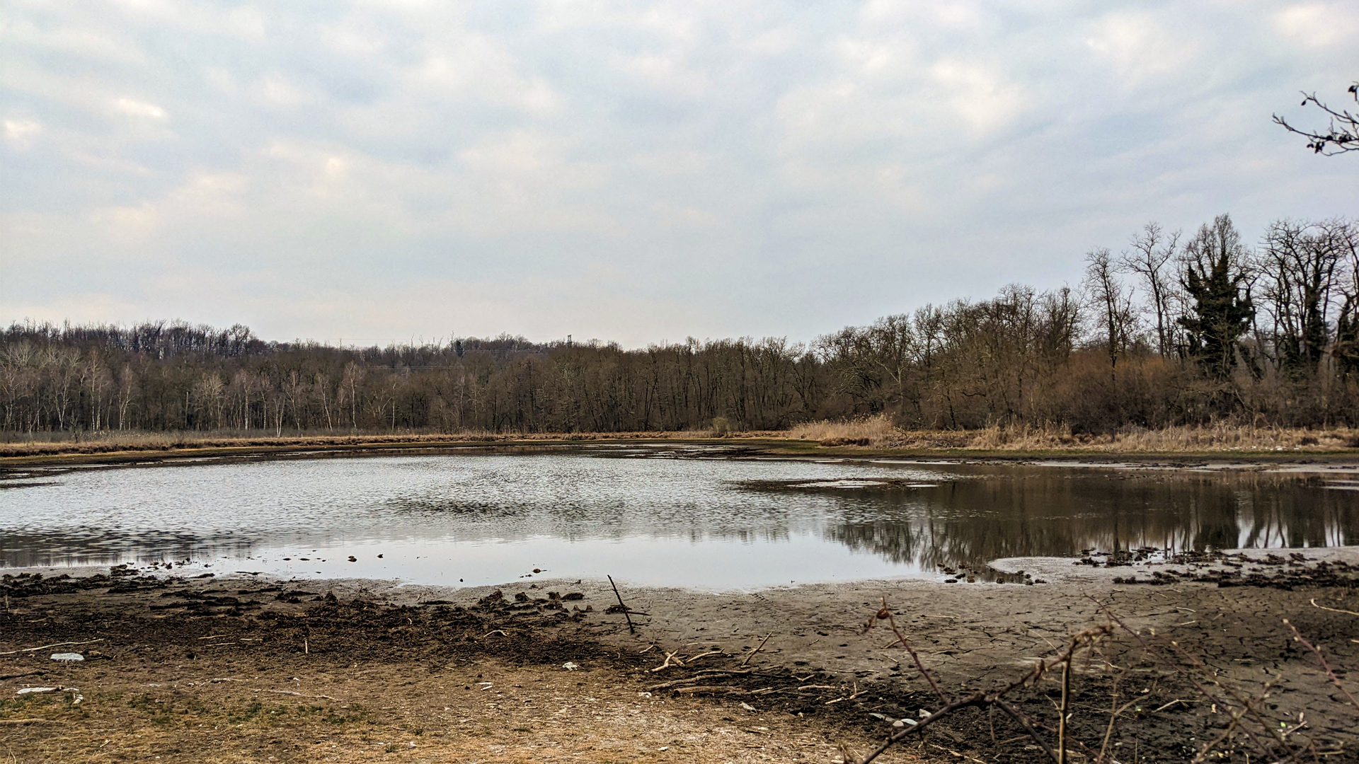
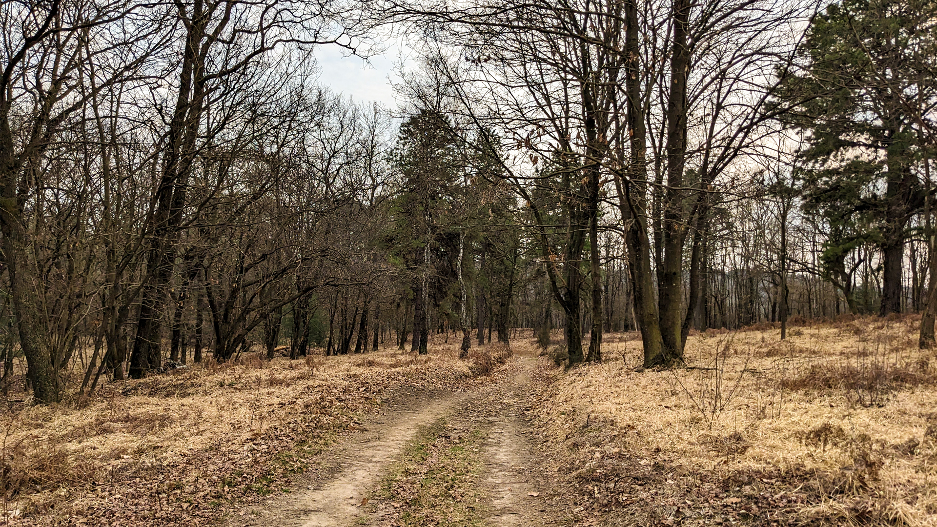
The itinerary leads to a journey into history, diving into an untainted nature, from Middle Age to prehistory, among the woods, the peat bogs and the moorlands of the Valle dei Mulini (valley of the mills) and of the Lagoni di Mercurago Natural Park which, since 2011, has been part of the list of UNESCO World Heritage, as a prehistoric pile dwelling around the Alps.
The Lagoni Natural Park is set on the wide morainic hills that characterize the Piedmont side of Lake Maggiore. Here nature, with its multiple ecosystems, guards the traces of a very old past. As a matter of facts, along the years many remains of settlements dating to the Bronze Age (2200 - 900 BC) were found, some Roman domus, pile dwellings and necropolises with supply. Since 1800 BC, for about 500 years, on the shores of Lagone, settled a village on pile dwellings, made of huts built on sections of reclaimed land, thanks to a skillful use of stones and logs. Right in this place some wooden wheels and also a pirogue dug from a log were found, perfectly preserved in the peat bog. These archeological findings are visible today in the Archeological Museum of Arona.
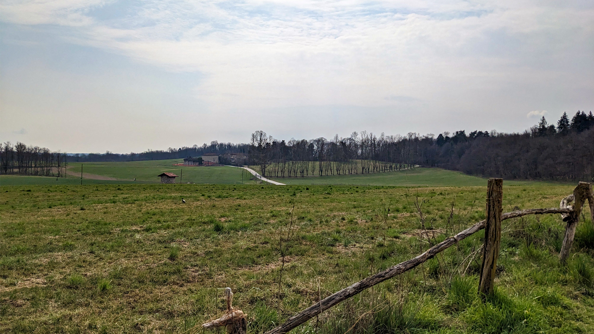
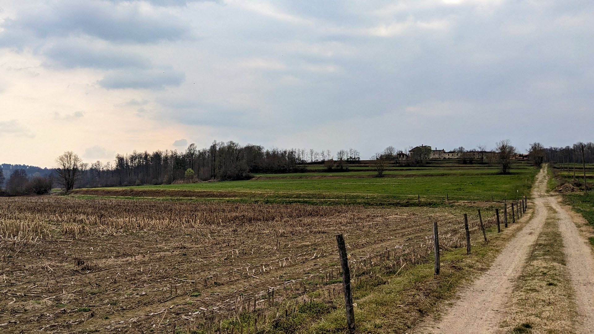
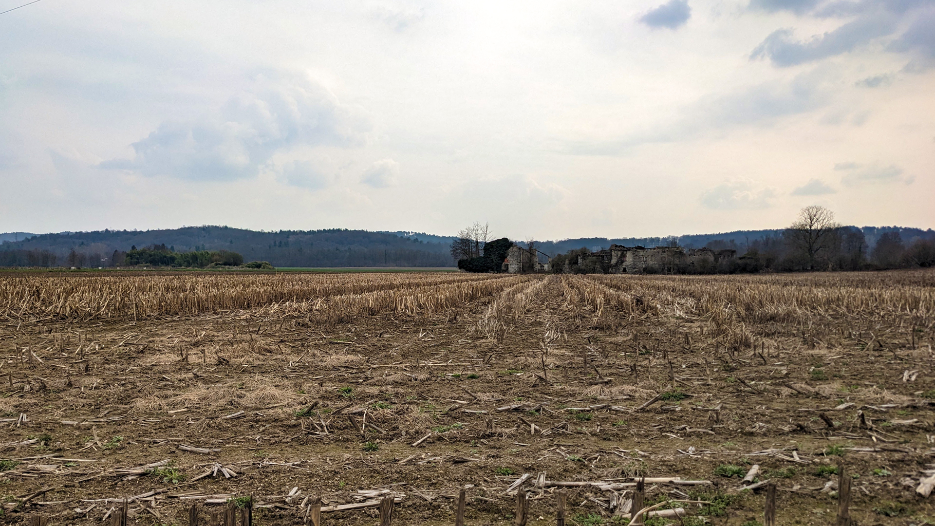
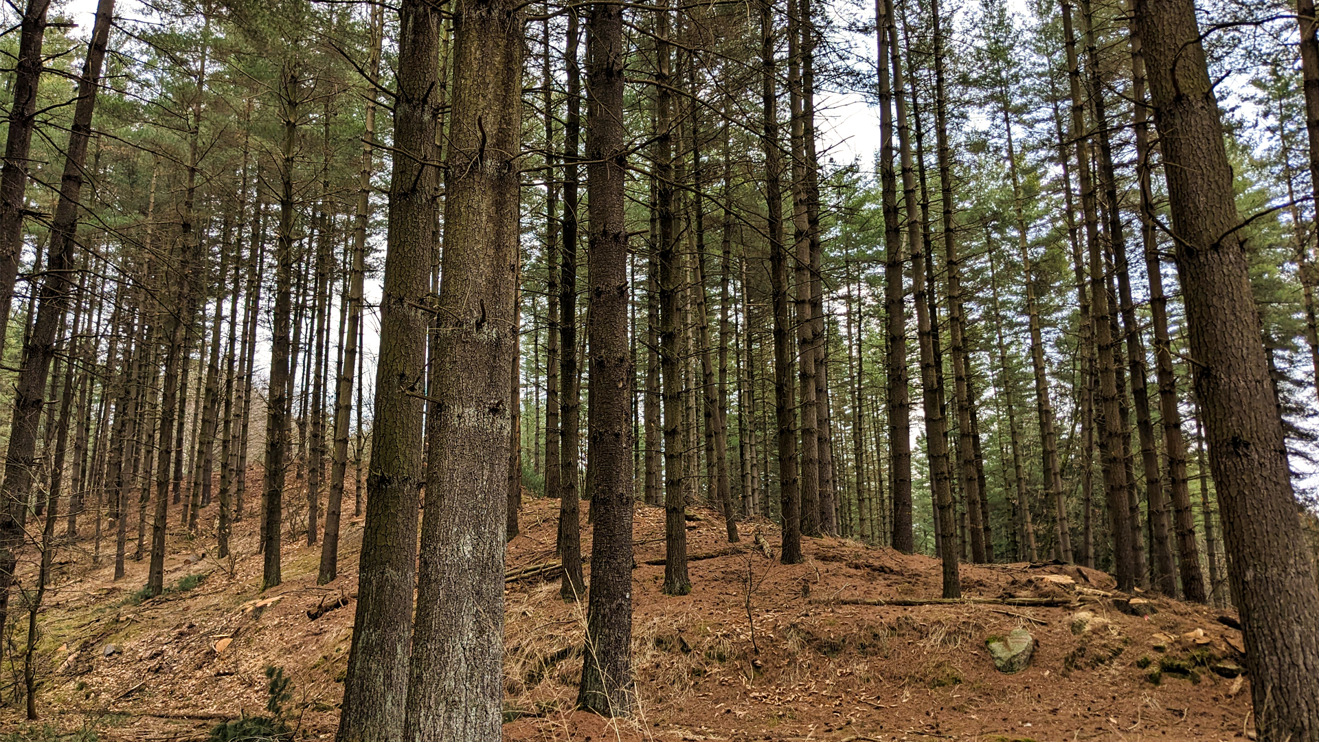
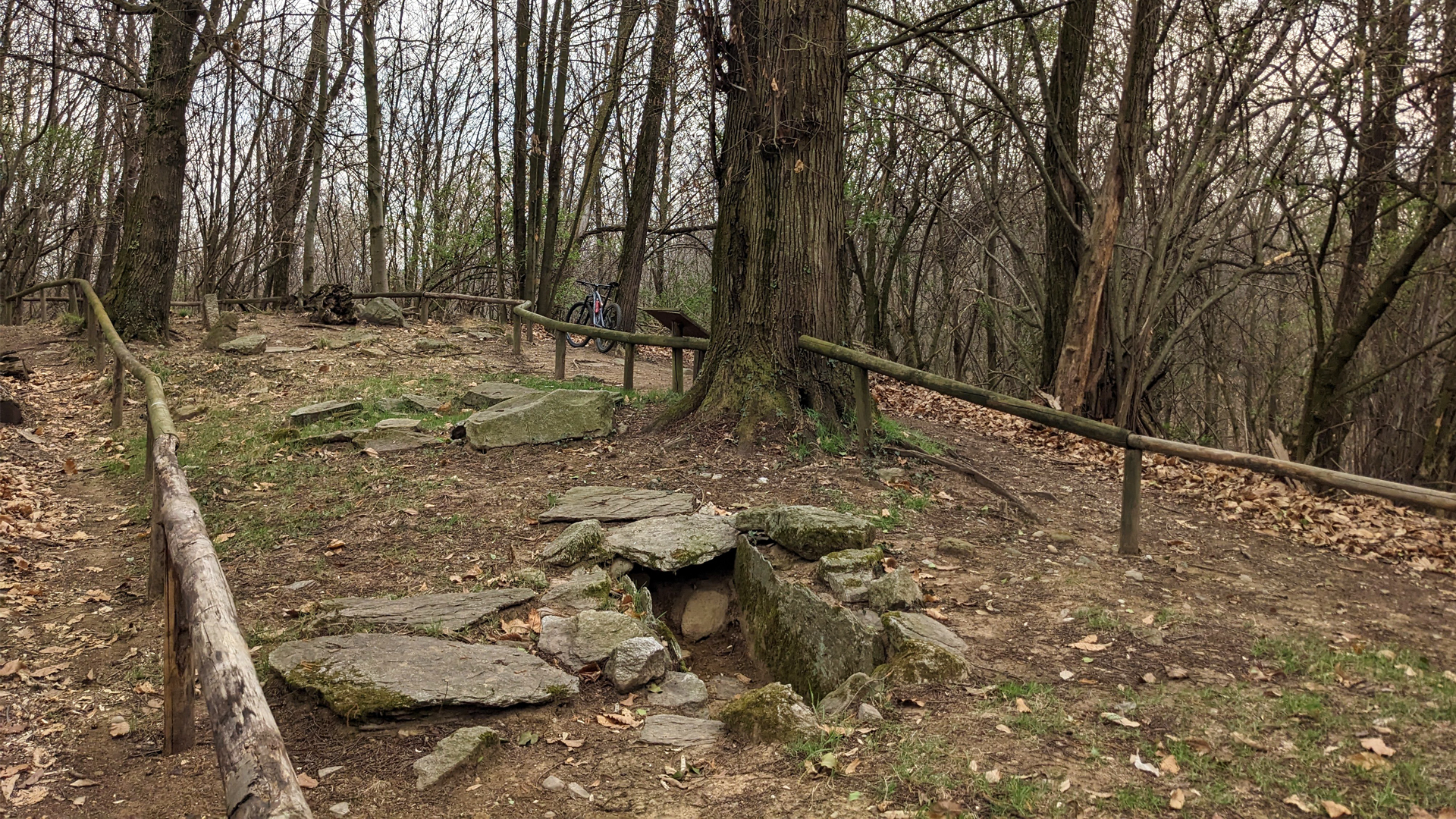
The itinerary also leads to the area of Valle dei Mulini, where the plain of Muggiano with Fosso Rese and its humid lands alternates with the wide woods and morainic mounts of Ceserio, resulting in a complex ecosystem similar to that of the nearby Lagoni Natural Park. In this area as well, many archeological remains were found, like coins, Roman stele, ceramic pottery and metal objects. There are also several remains of buildings that testimony the centuries of life and history in these lands, like La Costa, Muggiano Superiore and Muggiano Inferiore, the remains of the ancient church of Santa Maria de Mozano de Gatego, the mill of Muggiano, Cascina Baroni and the Porta Sud (south gate) of Borgo Agnello. The latter, together with the Porta Nord (north gate), set on the other side of the busy Provincial Road of Borgomanero - Arona, are the testimonies of an ancient Middle Age fort and of an ancient road system that favored a cross transit compared to today’s, that is from Paruzzaro towards Pieve di San Martino at the gates of Gattico.
Erwandert am: 19. Mär 2023
Aktualisiert am: 12. Mai 2025

zur Karte gehen


 Streckenlänge:
 Gehzeit:
 Höhenunterschied:
 mind. und max. Höhenmeter:
 Art der Tour:
 Oberfläche:
 Panorama:
 Netzvempfang:
 Im Winter:
 Mit dem Fahrrad:


