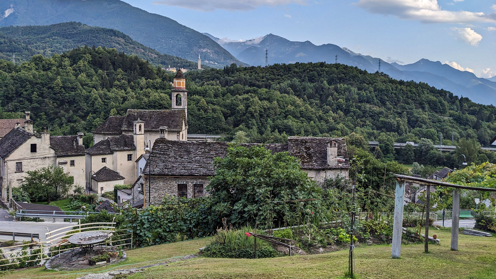
The itinerary crosses Crevola and some of its historical hamlets along ancient mule tracks, passing by river Toce. Crevoladossola, due to its position close to Valle Antigorio and Val Divedro, has always been an important crossroad towards Switzerland. Its lands have signs of ancient histories that we can see today stratified in a landscape made of stone, woods and meadows.
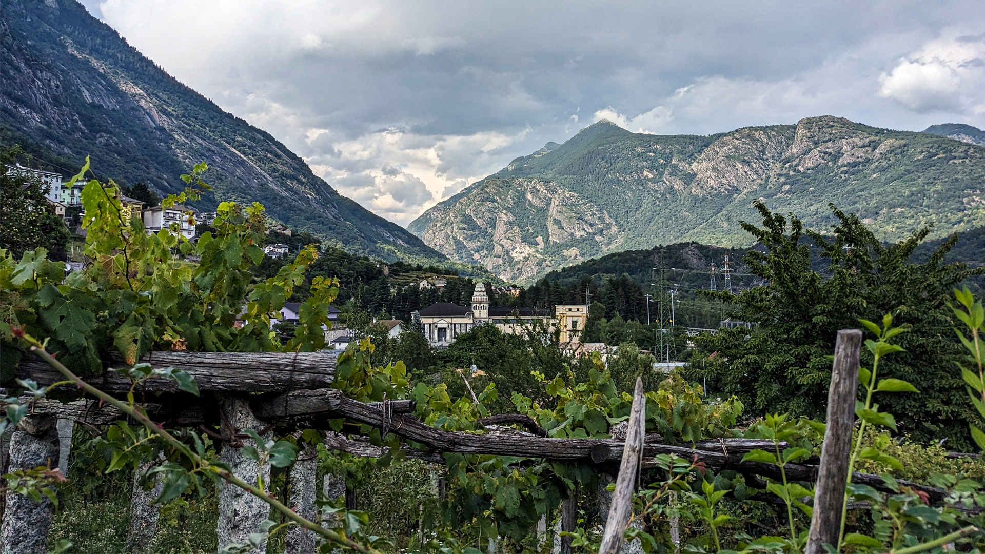
The itinerary starts from the center of Crevola and goes down towards Toce, reaching the point where the dam of Tana, in the 40s, by blocking the river, gave birth to lake Tana and its naturalistic area. In this plain the Hydroelectric Power Plant of Crevoladossola is met, wonderfully designed by Architect Piero Portaluppi who, while portraying the majesty of Imprese Ettore Conti and of the thriving technological plan for the production of electric power, made and eclectic architecture where he experimented unusual decorations made of stone and from which a kind of chinese pagoda rises.
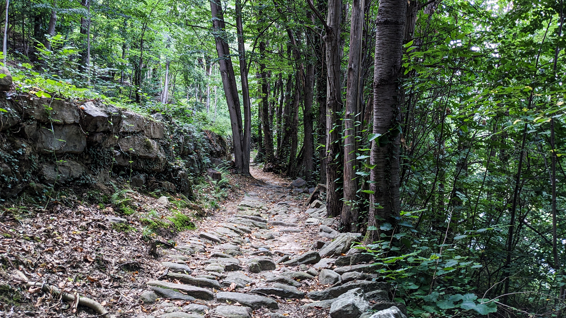
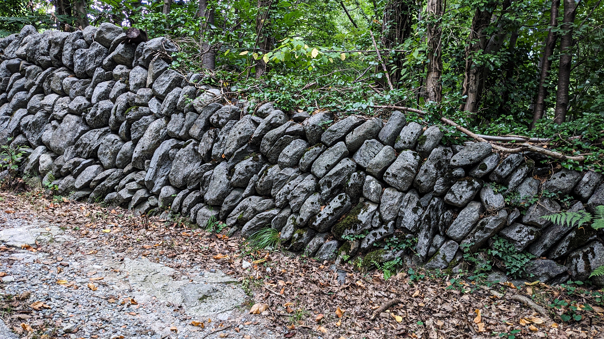
The hike retraces part of the path of Via Francisca, the path that has been a connection of Lombardy towards Switzerland and France (hence its name) for five centuries. Since 2002, part of this path has been included among the 12 itineraries of National Interest of Switzerland and, with the name “Sbrinz Route”, is currently retraced every year by a large group of shepherds, with a 7-legs hike from Lucerne to Domodossola. Along this ancient mule track one can still see today a part of a wall wisely built in “fish spine” or “clamped” technique: a peculiar placement of stones that, without any use of cement, grants strong solidity to the drywall.
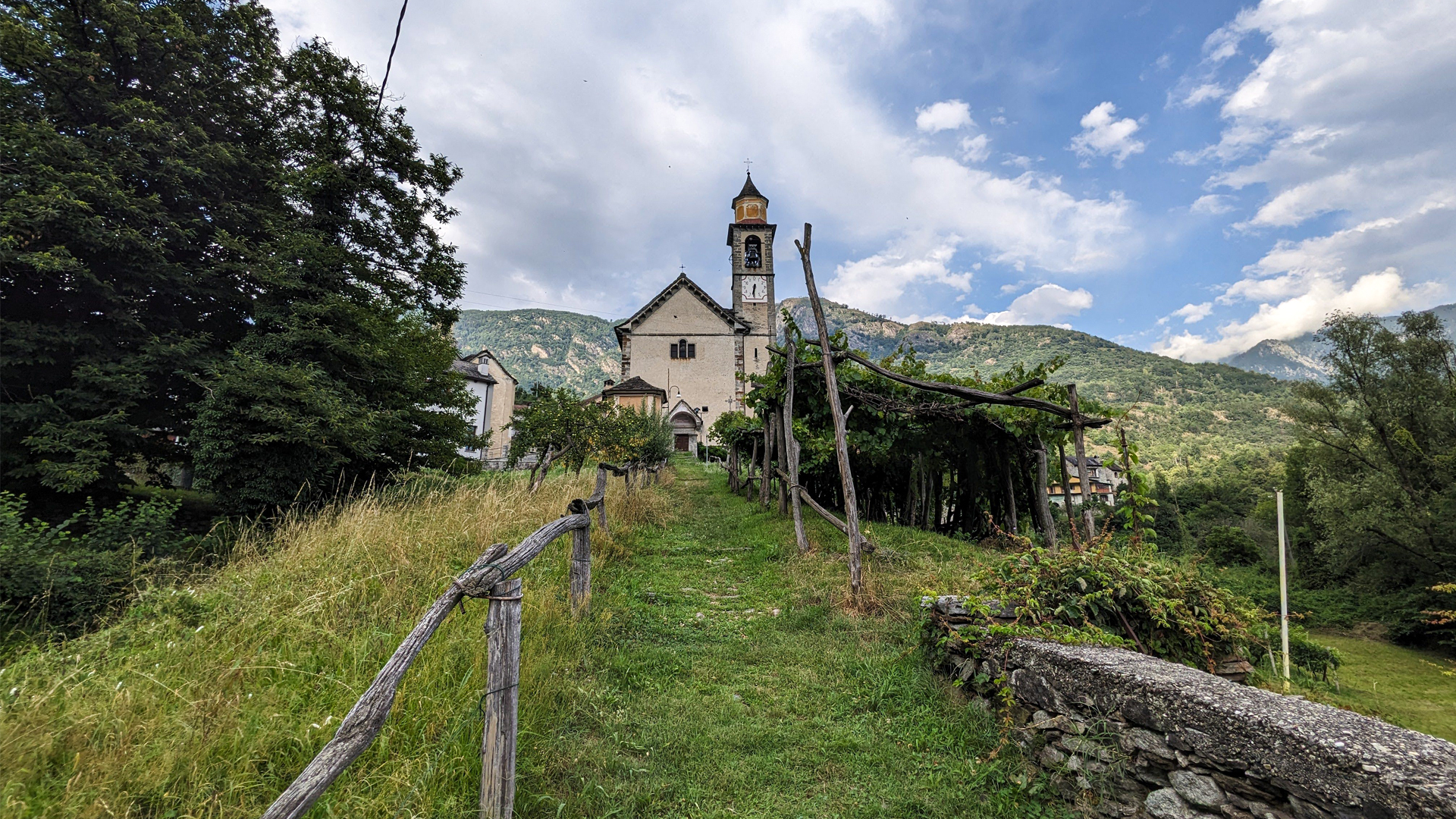
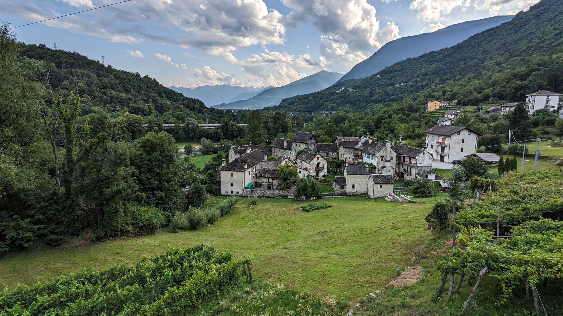
The itinerary then reaches the town of Canova that, starting from the years 2000, has been fully restored in full respect of history. These rural stone architectures are valorized today thanks to Canova Association.
The path of the hike reaches Oira and and then goes deep in the woods, following an ancient mule track once used to serve a dense system of terracings to grow the vine. The drywalls are still well visible, some of which are made with huge stones, and are part of UNESCO’s Human Heritage since 2018.
Erwandert am: 21. Jul 2023

zur Karte gehen


 Streckenlänge:
 Gehzeit:
 Höhenunterschied:
 mind. und max. Höhenmeter:
 Art der Tour:
 Oberfläche:
 Panorama:
 Netzvempfang:
 Im Winter:
 Mit dem Fahrrad:


