“For a healthy life, Health Trail, three times a week”! This is the motto of the path named after the Alpine Luigi Corti which reaches Ceppo Morelli from Bannio.
This itinerary follows the variant of the “Sentiero della Salute” (health trail) which, nearby the Rio Cascinetti, descends towards Le Piane, Isei and Albarina.
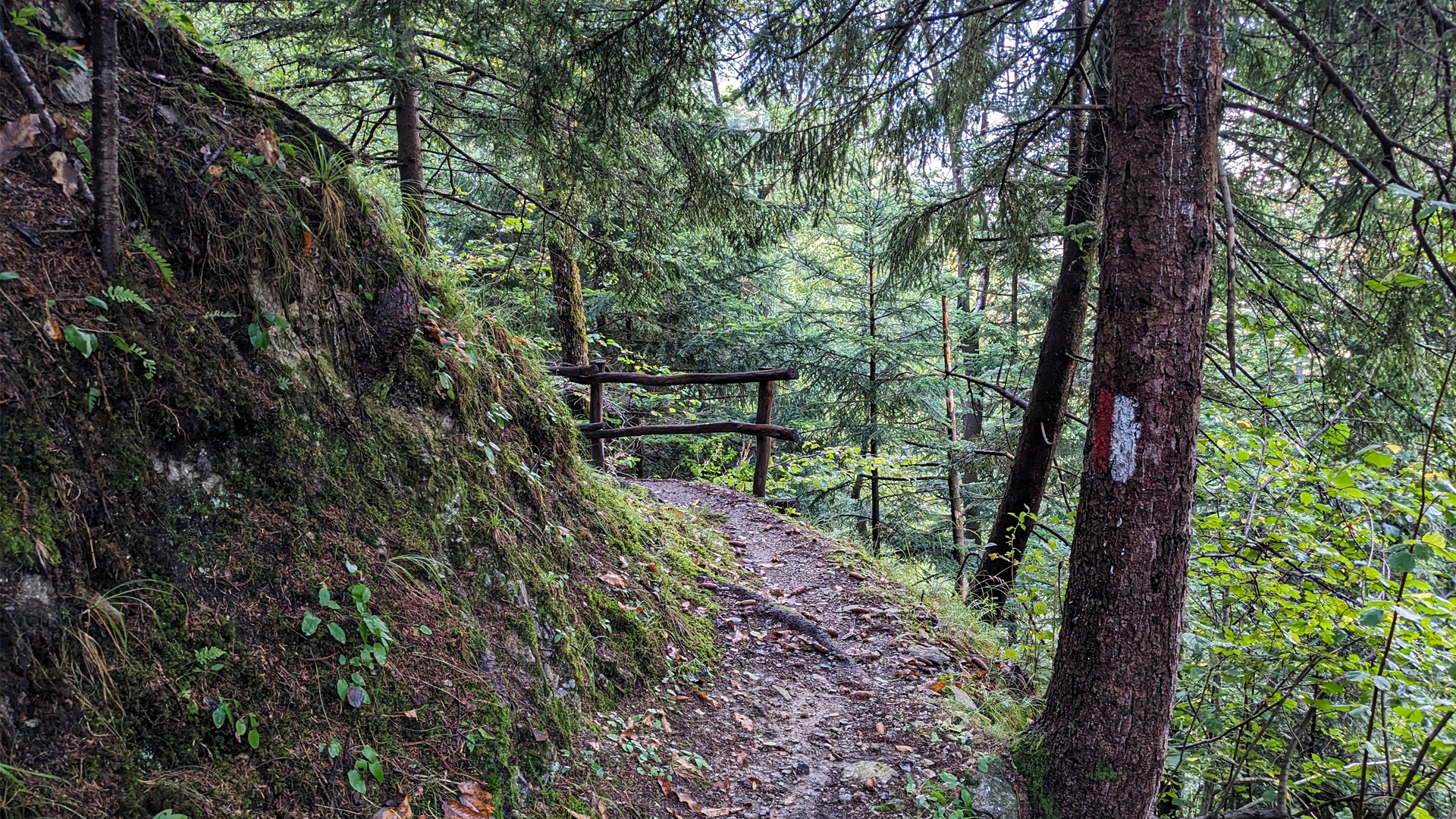
The history of the Health Trail is linked primarily to the water exploitation of the Anzasca Valley. In 1929, during the construction of the Ceppo Morelli dam and the Battiggio hydroelectric power plant, a diversion canal was built which conveyed the water from the dam, on a slight and constant slope, to the power plant. The canal is located in a tunnel dug into the mountain and, to allow checks and maintenance to be carried out, a route was created, called "Strà dul Canal" (road of the canal).
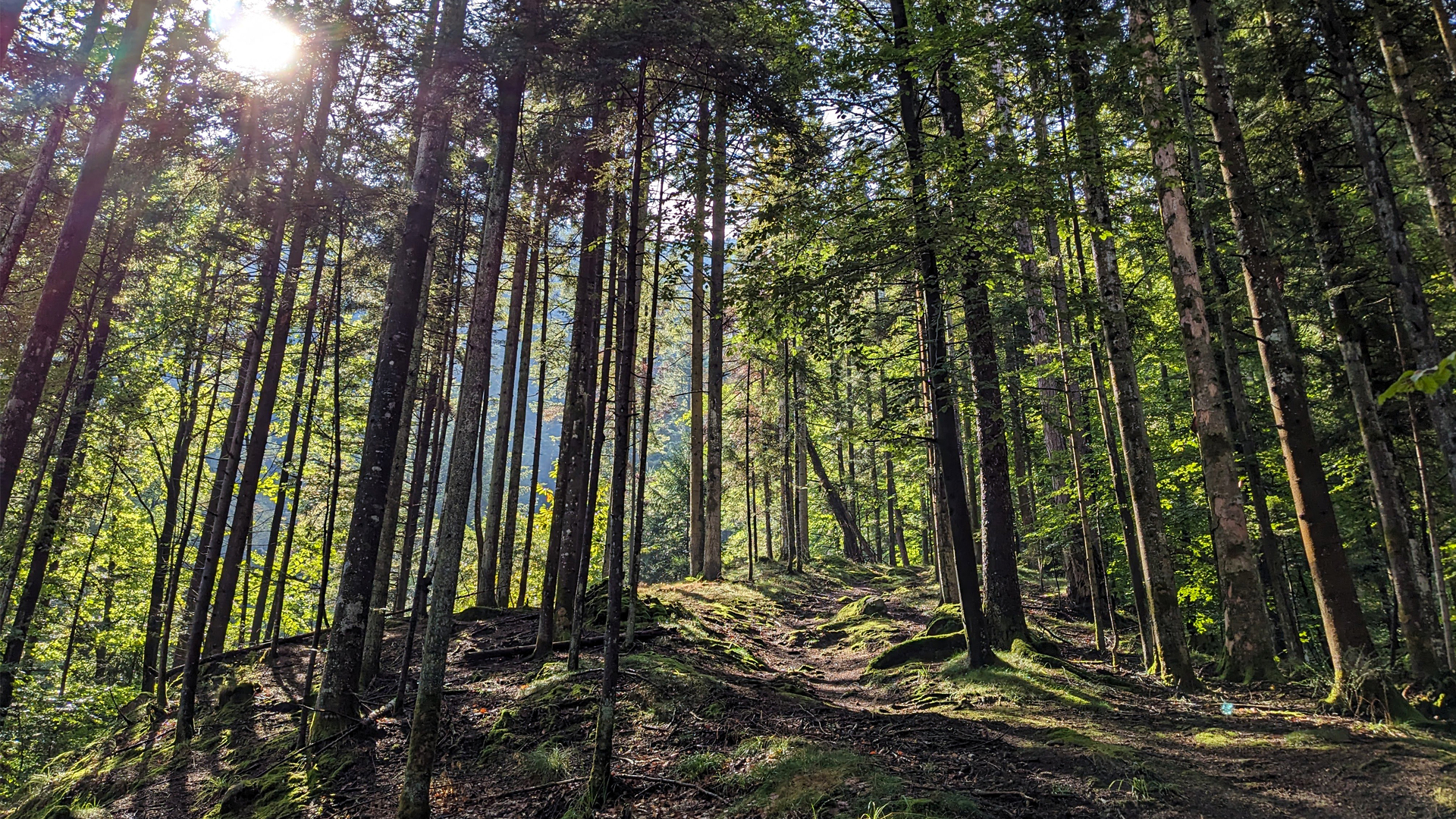
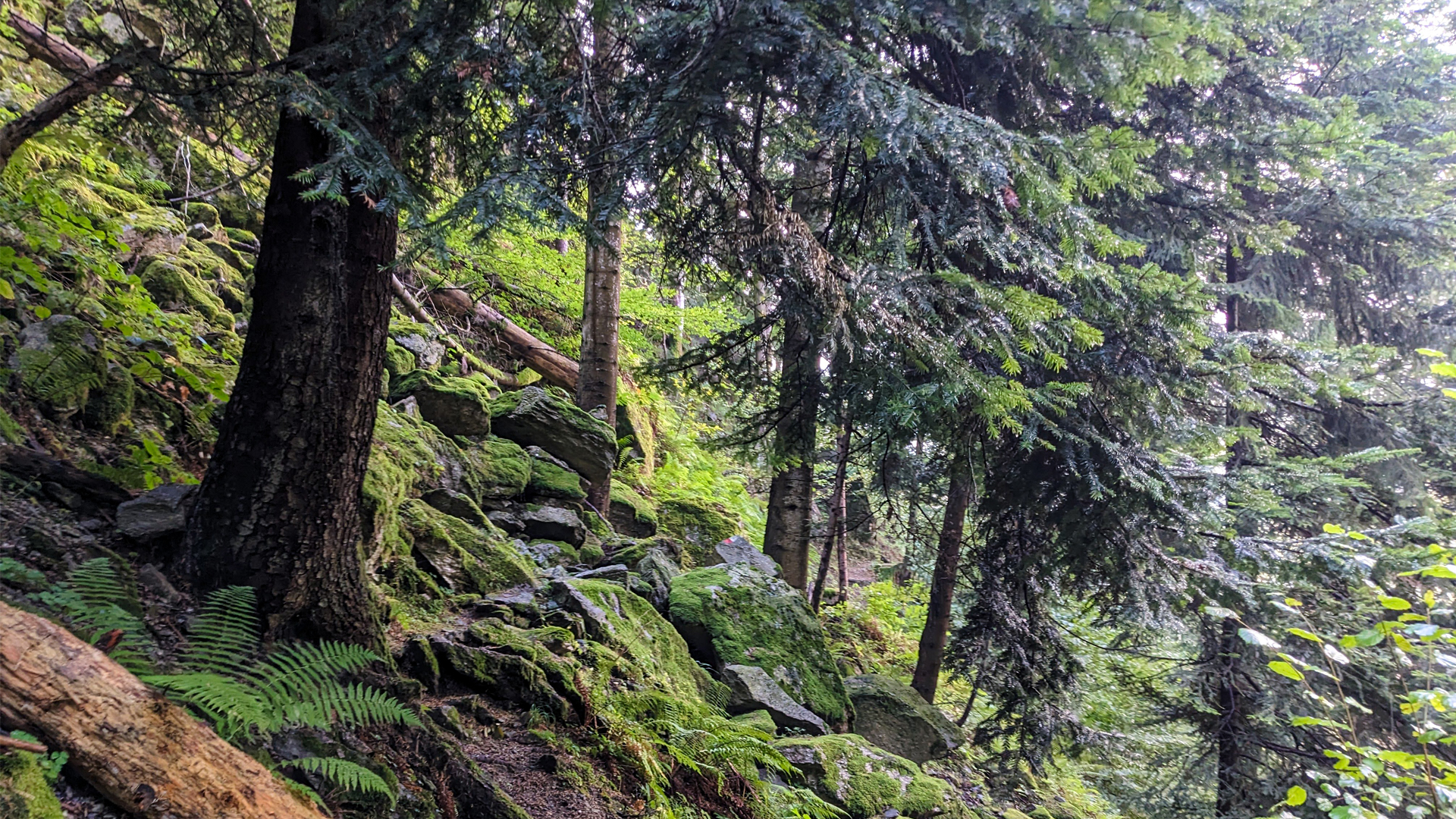
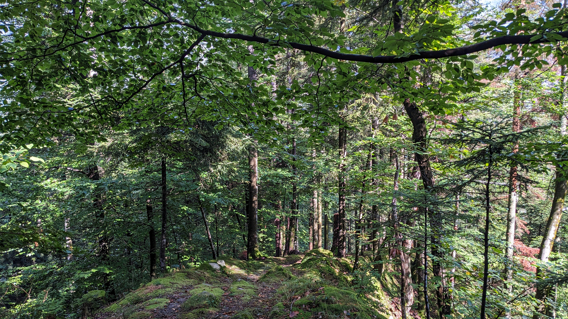
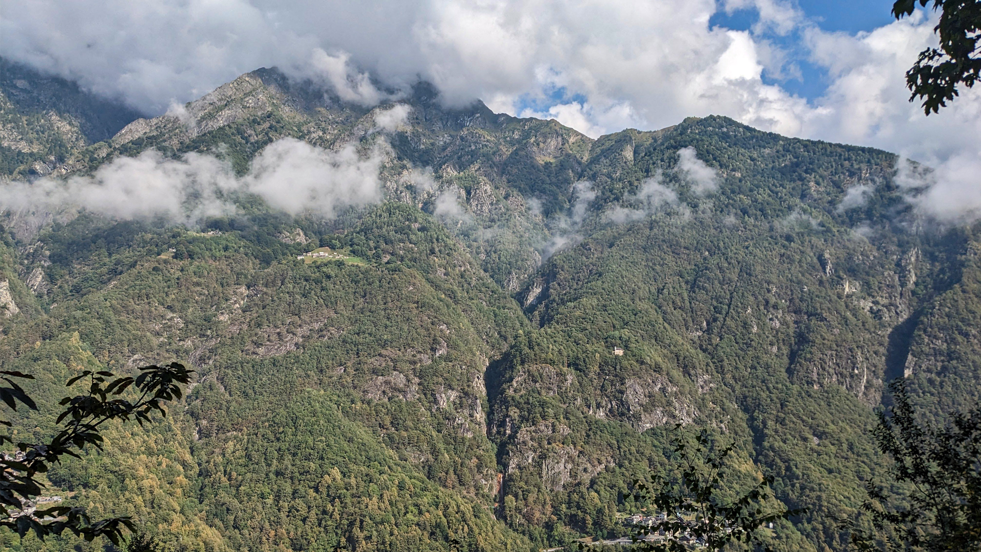
The itinerary develops halfway up the mountainside in the cool pine forests overlooking the Anza river, with some glimpses towards the Monte Rosa massif. Because of these landscape peculiarities, it was the object of attention by some inhabitants of Ceppo Morelli, who, in 2004, fixed a first stretch of it, calling it the "Sentiero Della Salute". Only in 2014, thanks to the intervention of municipalities and local authorities, was it possible to completely recover the entire route.
Erwandert am: 26. Aug 2023

zur Karte gehen


 Streckenlänge:
 Gehzeit:
 Höhenunterschied:
 mind. und max. Höhenmeter:
 Art der Tour:
 Oberfläche:
 Panorama:
 Netzvempfang:
 Im Winter:
 Mit dem Fahrrad:


