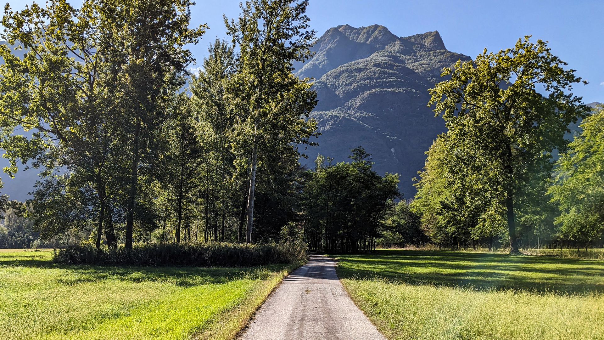
The itinerary begins from the village of Vogogna, now listed among the "Most beautiful villages in Italy", which was the capital of the Ossola Inferiore until 1819.
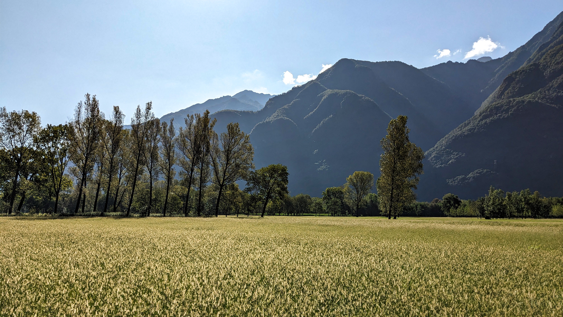
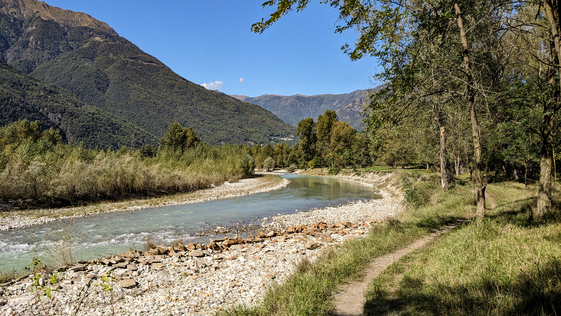
The trail winds along a purely natural strip that flanks Toce river, in the area of the Val Grande Natural Park in the municipality of Vogogna and in the Bosco Tenso Natural Reserve in the municipality of Premosello Chiovenda.
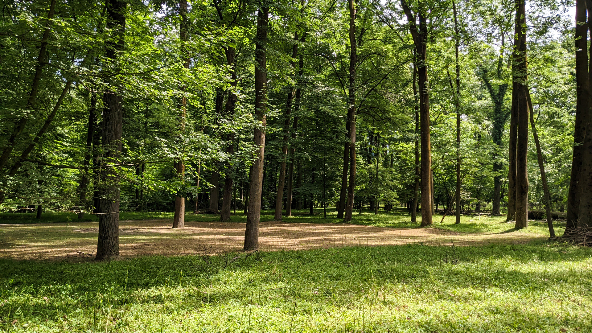
The Bosco Tenso (“Tenso” woods, meaning a protected wood with a unique flora), also known as Bosco Littorio (Lictorian woods), runs alongside Toce river for about 3 km and, due to its naturalistic peculiarities, has been registered among the protected areas of the WWF for many years since 1990.
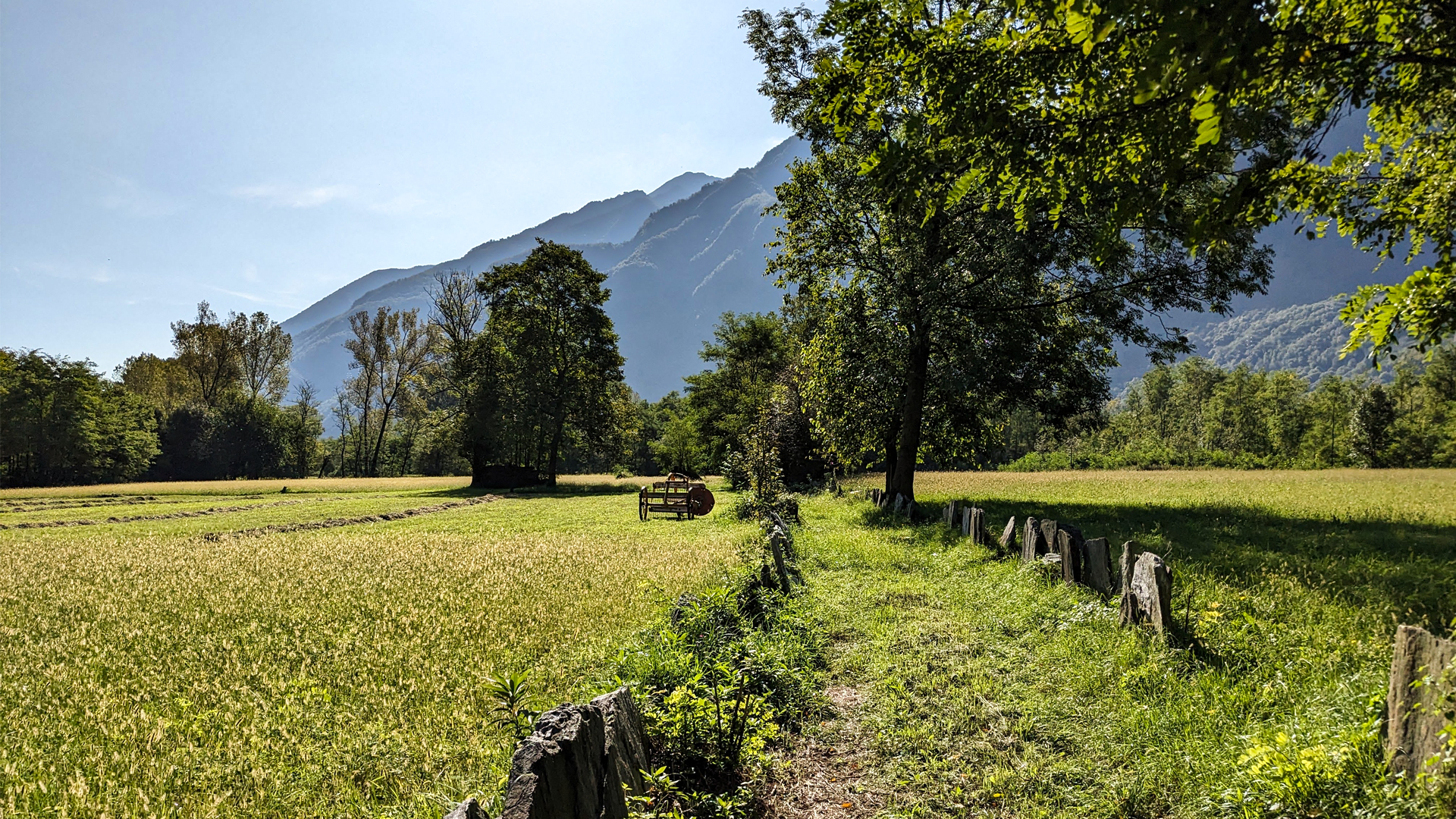
“Tensare”, from which the word “Tenso” derives, means to protect, i.e. to defend a territory; in the past it was the Municipality that determined, under its own authority, which areas were subject to this imposition. In territories subject to flooding, the ”tensa”, i.e. the ban, prevented for example the cutting of the forest, so that the latter remained intact and acted as protection against crops and inhabited centers.
The Bosco Tenso of Premosello Chiovenda also had this task: the forest located on the edge of the Toce riverbed protected the fields and crops from floods.
For this reason, already in the Statutes of the Community of 1572, signed by Philip II of Spain, there are various articles that regulate and restrict the area of the Bosco Tenso, prohibiting grazing, the collection of leaves and wood and the cutting of plants.
To date, this remains one of the last traces of riparian woodland which presents particular characteristics for the nesting of sedentary and non-sedentary avifauna, as well as rare specimens of botanical species.
Erwandert am: 24. Sep 2023

zur Karte gehen


 Streckenlänge:
 Gehzeit:
 Höhenunterschied:
 mind. und max. Höhenmeter:
 Art der Tour:
 Oberfläche:
 Panorama:
 Netzvempfang:
 Im Winter:
 Mit dem Fahrrad:


