From your phone's store, download an App to view the GPX tracks.
Some Apps, like Komoot and Wikiloc have a navigation function (upon payment).


 Click here to watch the video!


 https://www.itinerarium.it/hikes/144/4-lakes-agro-monscera-ragozza-and-arza


 Length:
 Our time:
 Total climb:
 Min and max height:
 Type of track:
 Surface:
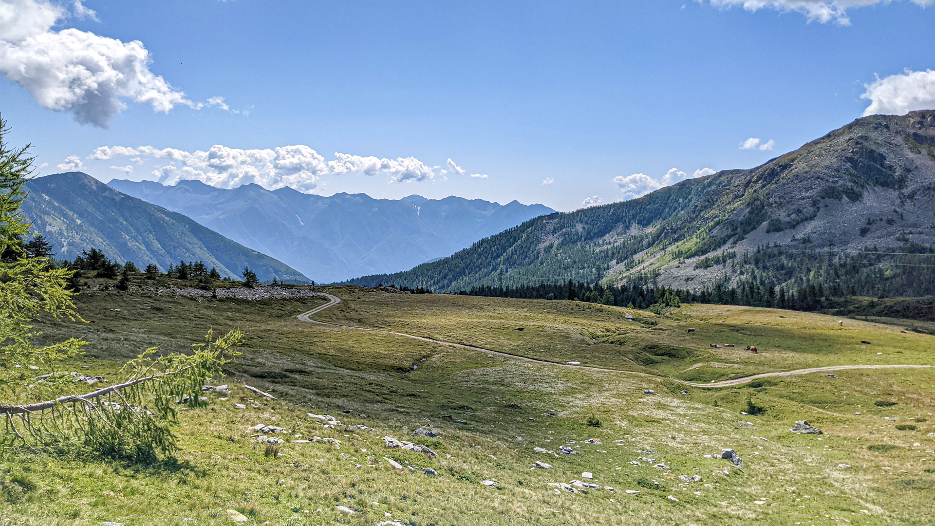
 Panorama:
 Cell network coverage:
 Traced in winter:
 Traced by bike:
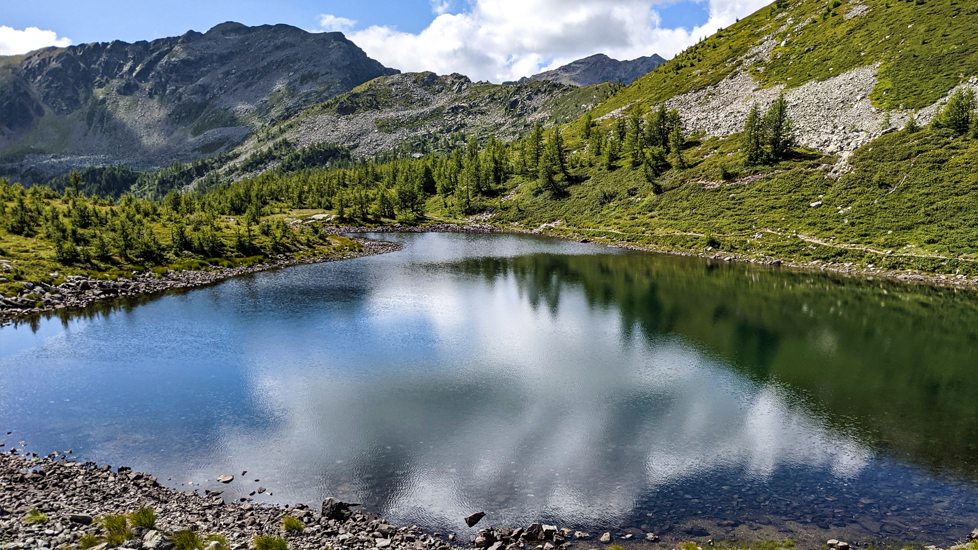
The ring trail begins from the locality of San Bernardo and develops in the hollow of Alta Val Bognanco, touching 4 evocative alpine lakes. The path goes along part of the road built by the Regio Esercito (Royal Army) in 1928, along the ancient mule track that connected Domodossola to Canton of Valais (CH) across the Monscera pass. This path was used by shepherds who acquired, during the Middle Ages, the rights to graze in Valle Vaira, and by the “spalloni” (smugglers) who carried many goods though the pass; this path was also an important connection as shown by the passing of the Pope in 1275.
The itinerary leads to Il Dosso mountain hut and Arza alp, then proceeds along the trail “dei Cacciatori” (of Hunters) until the detour that leads to Arza lake, nestled under the north slope of Costa del Dosso.
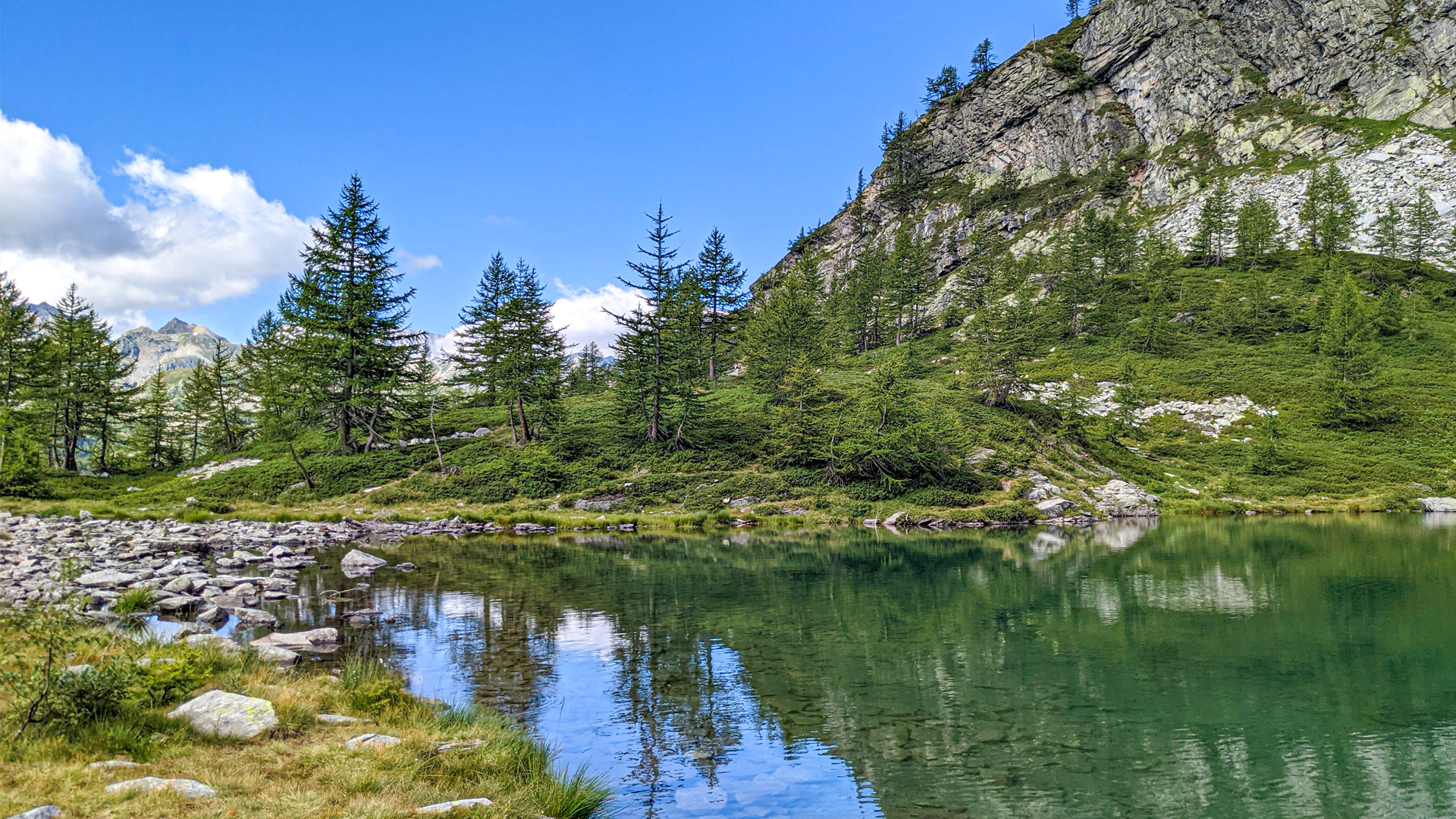
The trail proceeds towards Monscera lake and the homonymous mountain pass, the latter went down in history for being one of the first passes flown over in 1913, when the pilot Bielovucic followed the route that, in his tragic fly, Geo Chavez should have done.
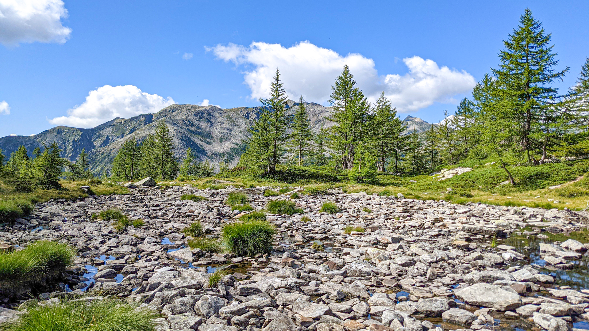
The itinerary proceeds towards Gattascosa mountain hut and goes down towards Ragozza lake and Agro lake.