From your phone's store, download an App to view the GPX tracks.
Some Apps, like Komoot and Wikiloc have a navigation function (upon payment).
Download the GPX track for your chosen trail.
Upload the GPX file on your App and follow the track* minding the CAI's signposts.
Always check the weather before your trip!
* GPX tracks are taken on recreational level and they are not tested.
Always check the weather before your trip!
* GPX tracks are taken on recreational level and they are not tested.


 Length:
 Our time:
 Total climb:
 Min and max height:
 Type of track:
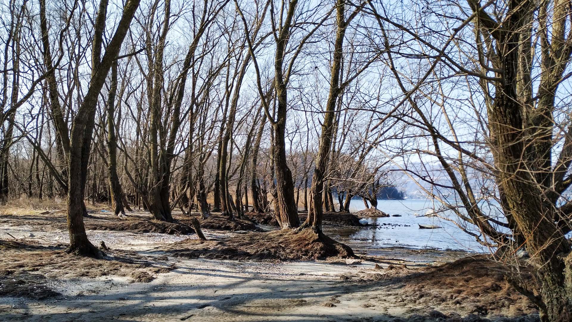
 Surface:
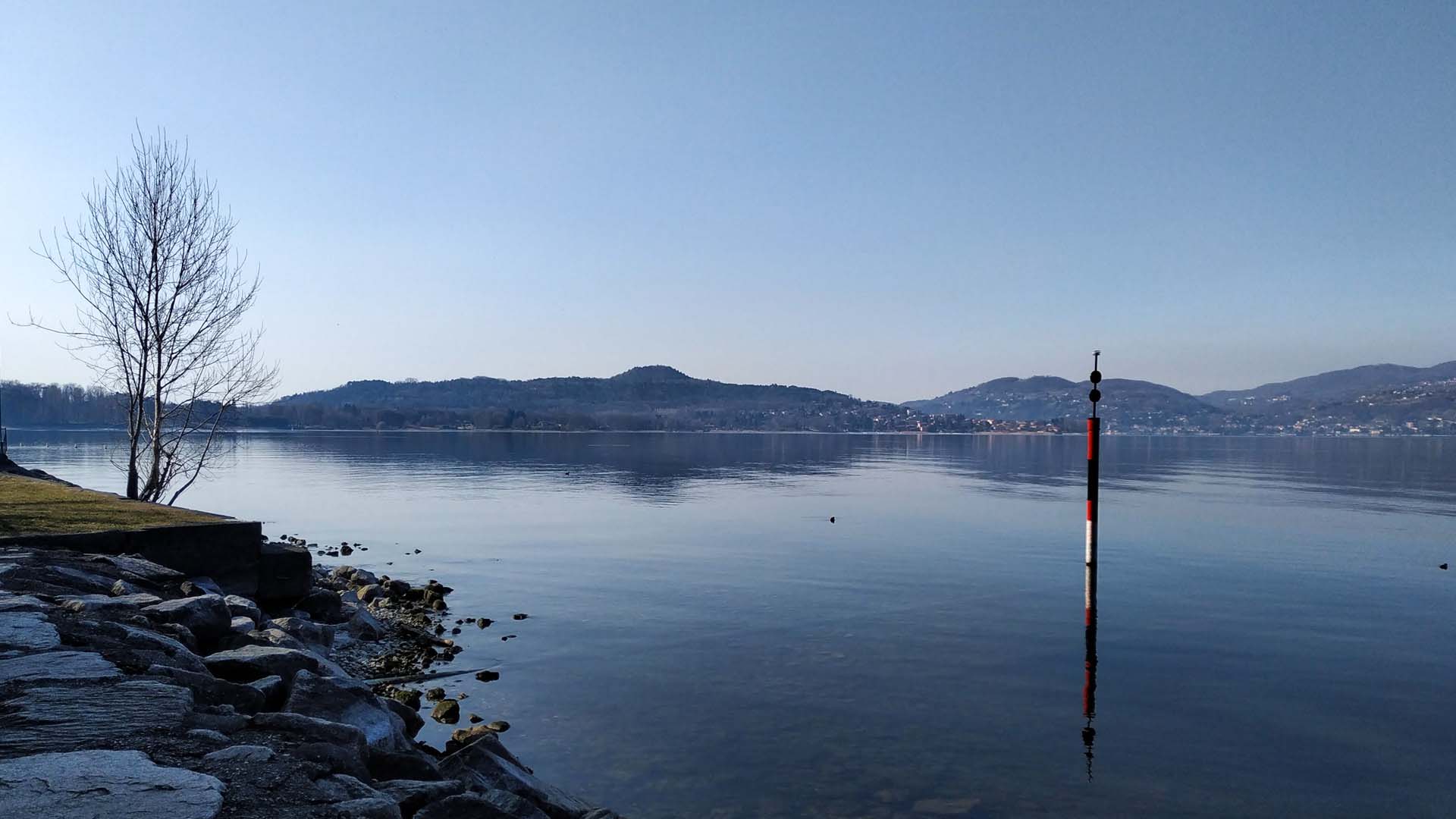
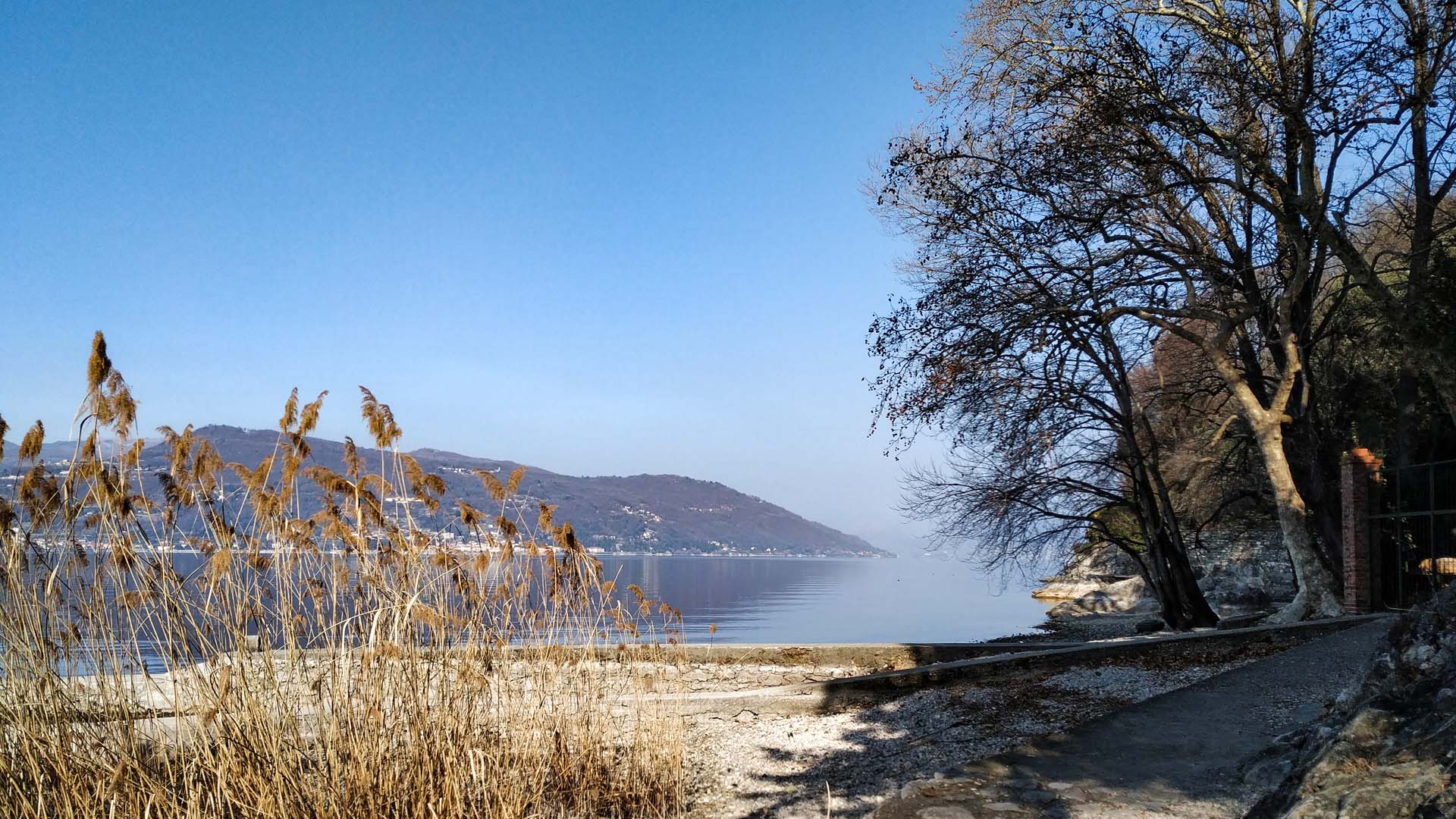
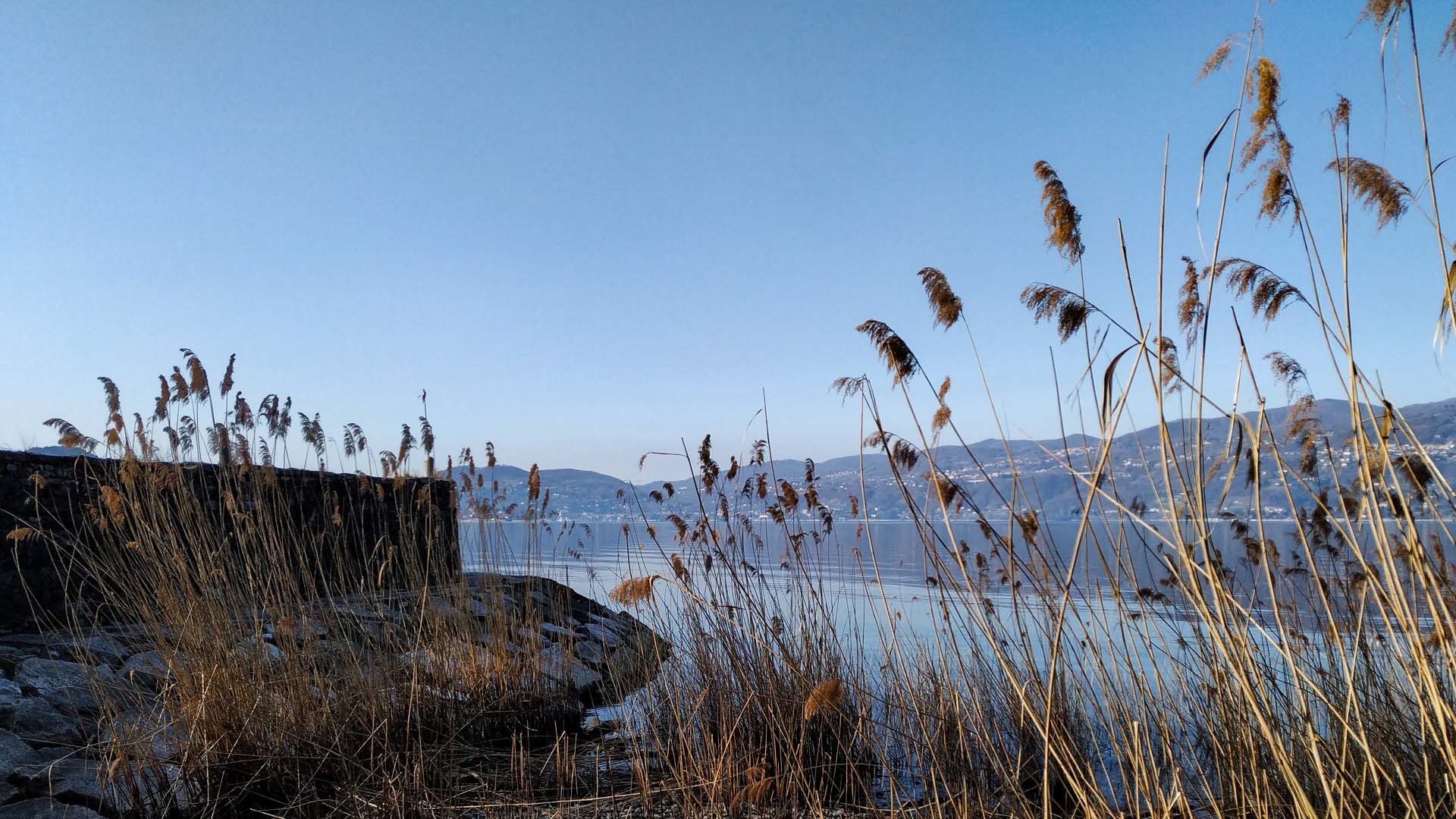
 Panorama:
 Cell network coverage:
 Traced in winter:
 Traced by bike:


