From your phone's store, download an App to view the GPX tracks.
Some Apps, like Komoot and Wikiloc have a navigation function (upon payment).


 Click here to watch the video!


 https://www.itinerarium.it/hikes/91/privacy-policy


 Length:
 Our time:
 Total climb:
 Min and max height:
 Type of track:
 Surface:
 Panorama:
 Cell network coverage:
 Traced in winter:
 Traced by bike:
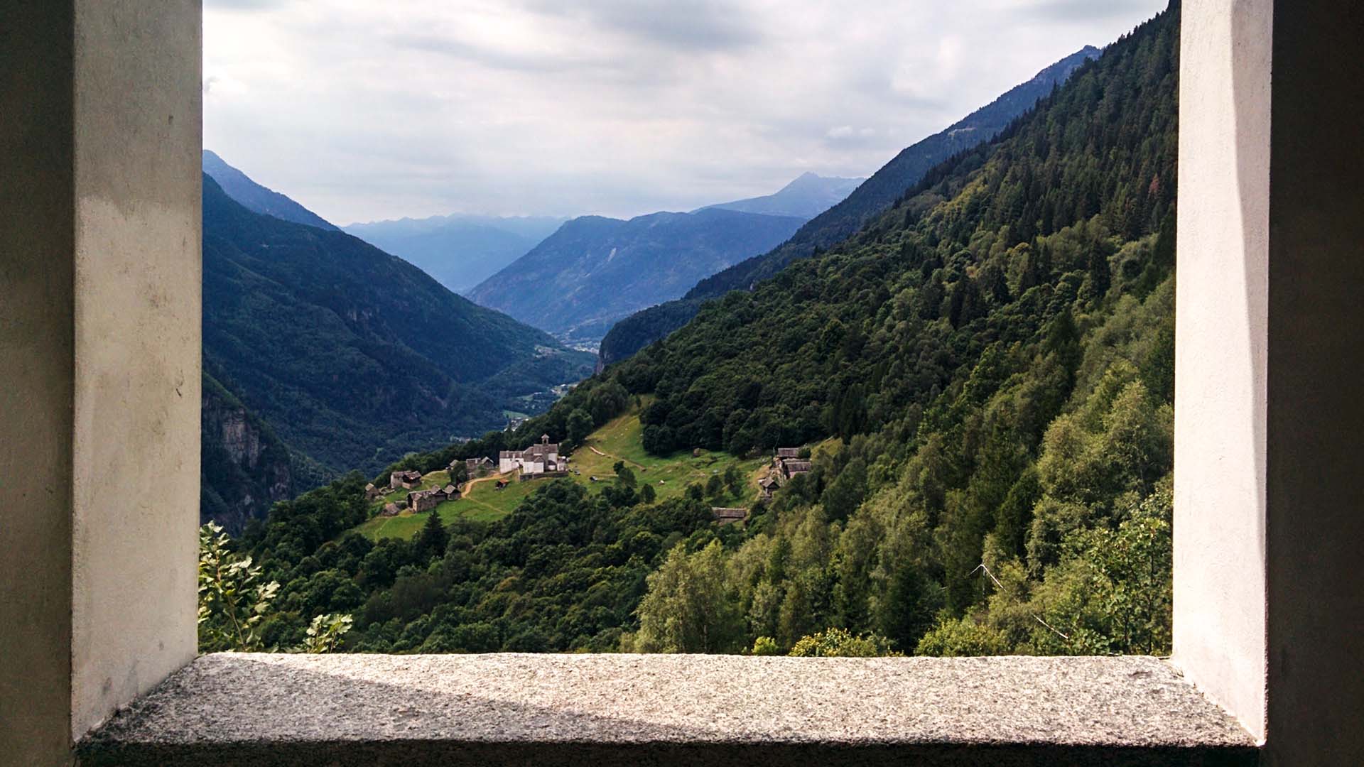
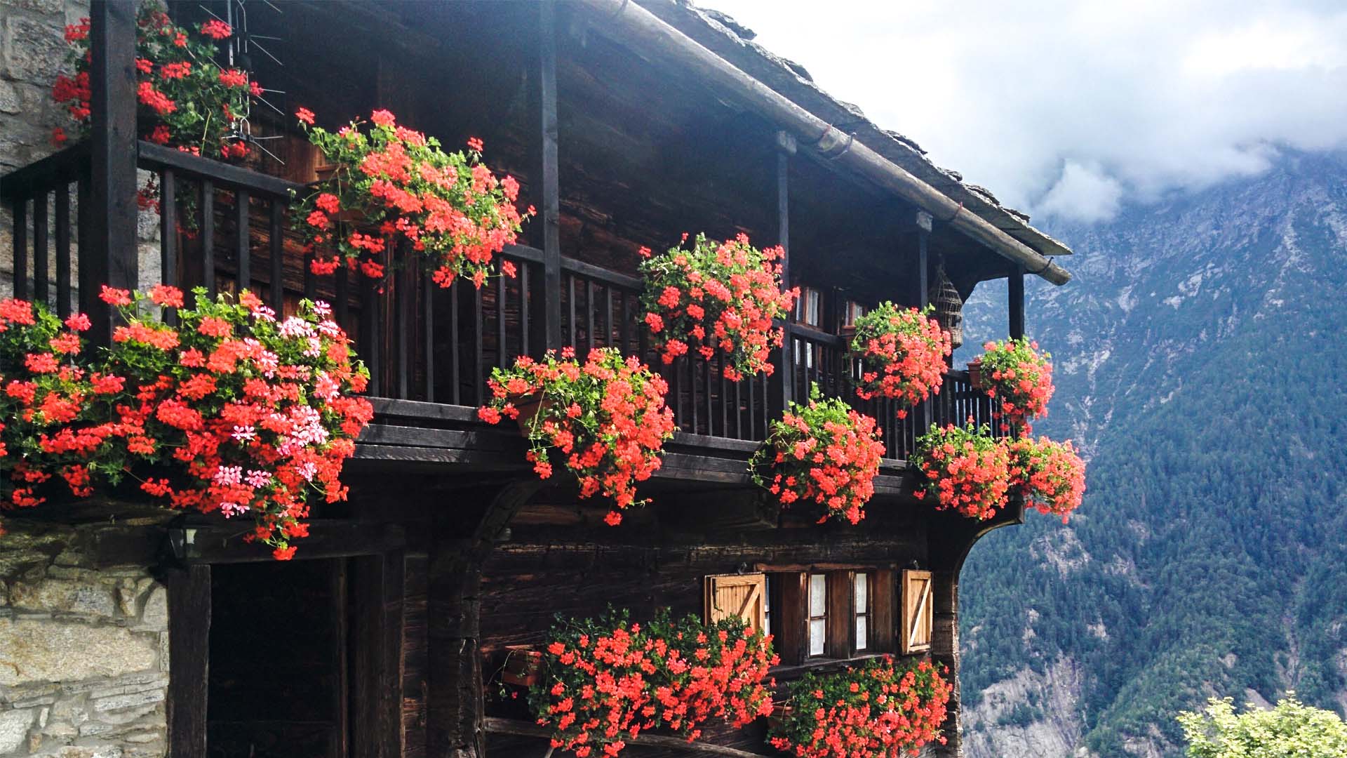
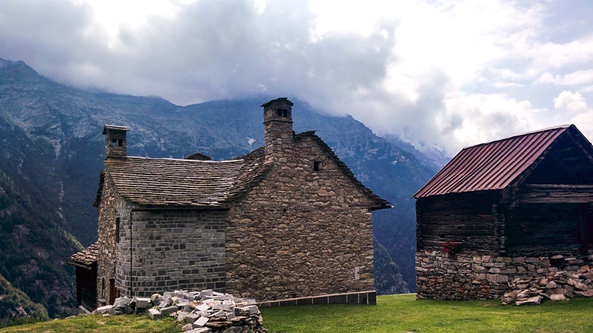
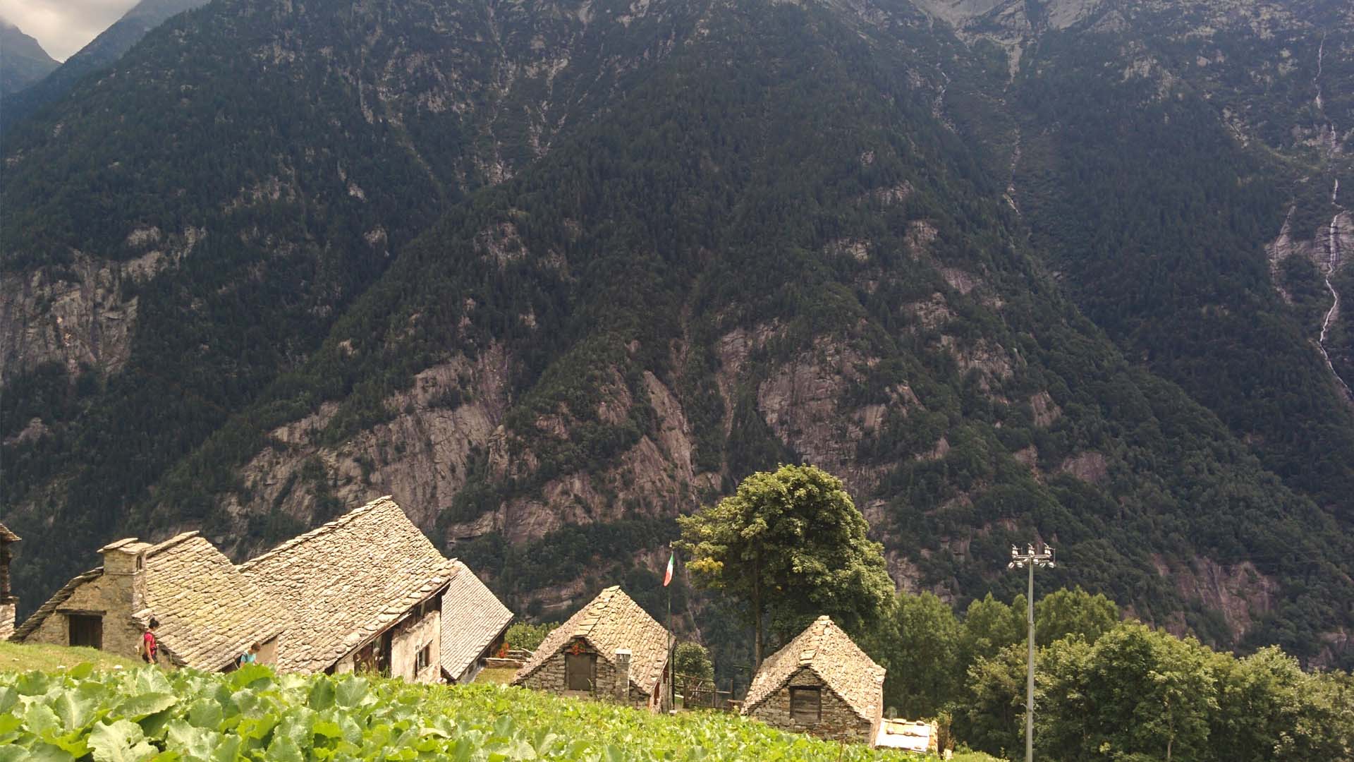
The village of Salecchio, Saley in Walser language, was made up by the two main residential areas of Salecchio Superiore (am obru Barg) and Salecchio Inferiore (ufem undru Barg) and by the small group of houses of Morando (Murant) and Case Francoli (Frankohus). This distribution reflects that of ancient German agricultural colonies. The village grows on a sunny terrace, right above Valle Antigorio, and from it an amazing panorama can be seen, towards Ossola plain and the mountain chain that hides Bosco Gurin behind itself, a Walser colony, the only one of German language in Ticino canton.
The population of Salecchio, just as Agaro’s, was not on a passageway like Formazza town, so they lived isolated from the world, basing their economy on an absolute self-sufficiency, living by farming and growing rye, barley, potatoes, flax and hemp. Each piece of land had to be taken advantage of and this is clearly visible, for instance, in the extremely small size of the graveyard. Even Salecchio, just as every Walser village, could produce enough food to sustain a limited number of inhabitants (in Salecchio there are a little more than one hundred inhabitants), hence many Walser had to emigrate.
Salecchio people had such a few exchanges with other towns that their 700 years long isolation kept not only their language intact, but also centuries old working methods and customs. An example is the way they measured time, that remained intact until before the Great War: in Salecchio, when the night came, the sacristan rung the bells and everyone set their clocks at 12:00, meaning that the night started at that moment. But the ring of the bells was not the same during the year, in winter the bells probably rung at 5:00pm, while in the summer it was way later!
Before the 70s, that is before the quarrying activity that is still present in the Antigorio valley area, Salecchio could be reached by a mule track that started from Passo. Only a few tracts of this mule track remain today, most of it has now been replaced by a dirt road reaching Salecchio Inferiore (not an open road since it’s blocked by a bar).
The trail starts from Passo district and goes along the remaining tracts of the mule track, otherwise the dirt road can be taken, passing through a short tunnel (a flashlight is recommended).
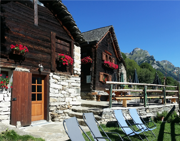
After reaching Salecchio Inferiore the trail goes on until Salecchio Superiore where the Zum Gora hut is located.
Look at the itinerary to reach Case Francoli e l'Ape Vova.