From your phone's store, download an App to view the GPX tracks.
Some Apps, like Komoot and Wikiloc have a navigation function (upon payment).


 Click here to watch the video!


 https://www.itinerarium.it/hikes/94


 Length:
 Our time:
 Total climb:
 Min and max height:
 Type of track:
 Surface:
 Panorama:
 Cell network coverage:
 Traced in winter:
 Traced by bike:
The woods of Val Grande, at the end of 1800, were an important source of timber and Carlo Sutermeister, a Swiss engineer and businessman, with his timber enterprise, could change the fate of the small town of Pogallo, that reached almost 100 inhabitants. The forward-looking Sutermeister, called “lord of the valley”, built the only urbanizations of this area: he built the paved mule track that reaches Pogallo from Cicogna. The track, also called “Sutermeister road”, goes on a slight steep following the curvy creek Pogallo. At the beginning of last century he also built what is probably the first power plant in Italy that could carry electricity on long distances. He was also a cofounder of Intra Popular Bank, and the first Italian businessman that could provide health insurances to workers.
These locations, so alive and fervent in activity, became, on June 18th 1944, the dark scenery of the murder of many partisans by German troops.
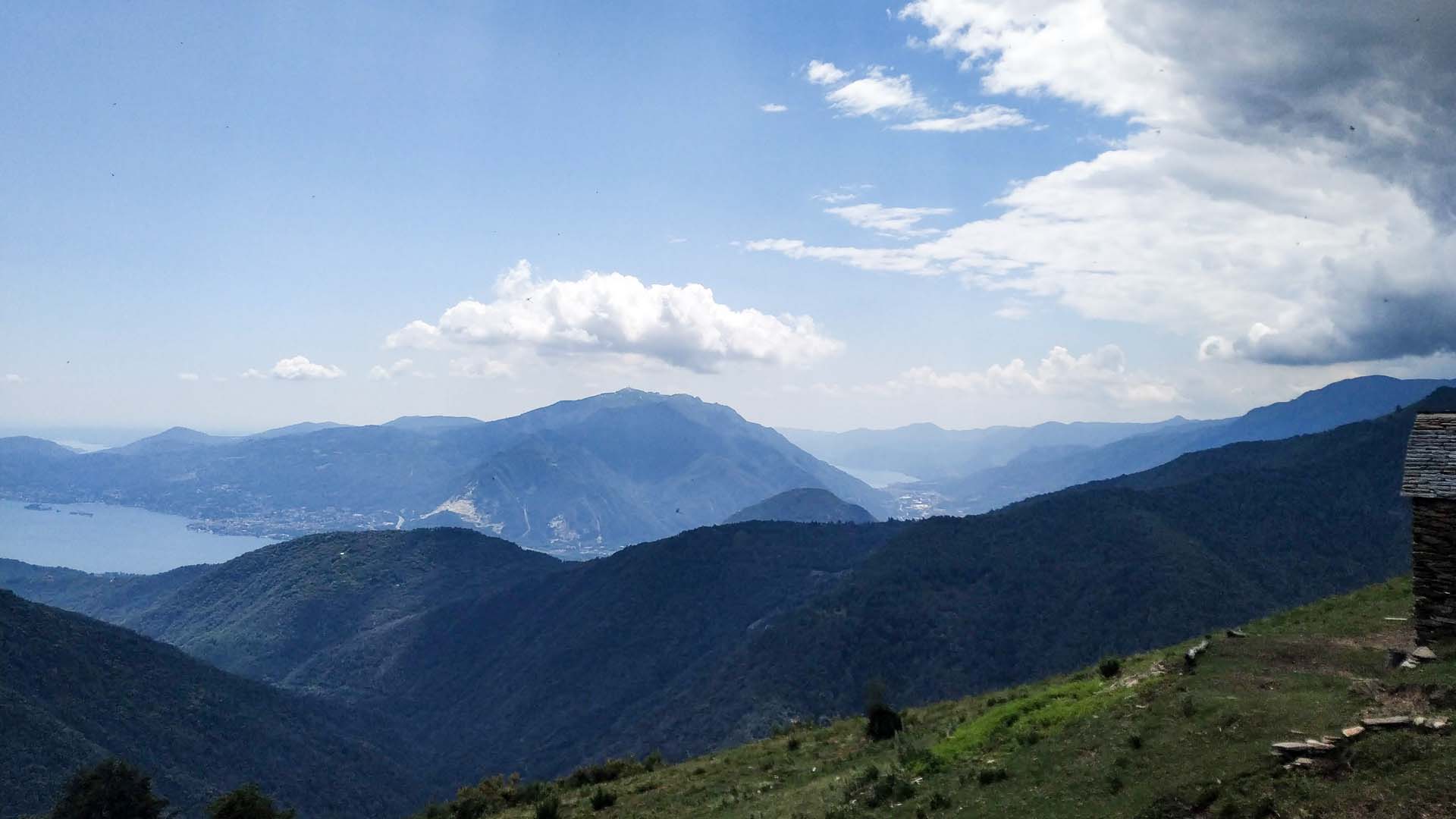
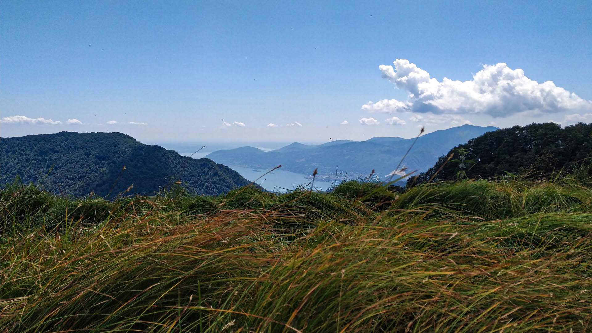
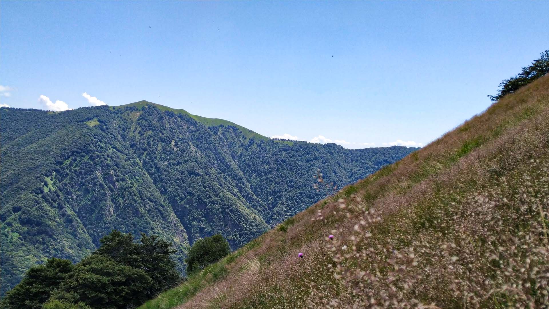
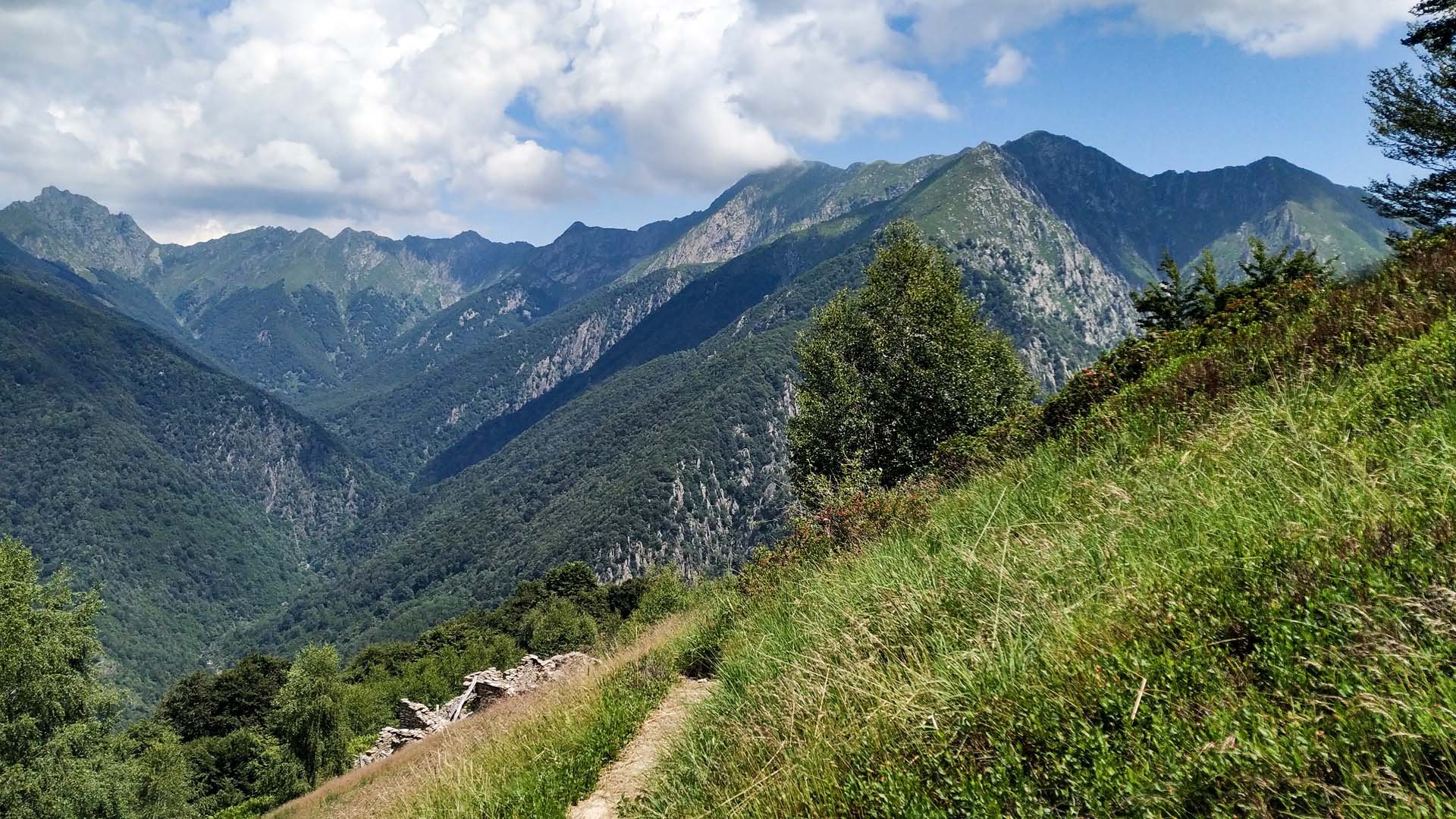
After leaving Pogallo, the trail goes deep in a beech wood and steeply climbs towards Caslù alp, then Braco alp and reaches Leciuri alp, where a wide panorama on Lake Maggiore’s basin can been enjoyed, and eventually reaches Prà alp and Casa dell’Alpino.
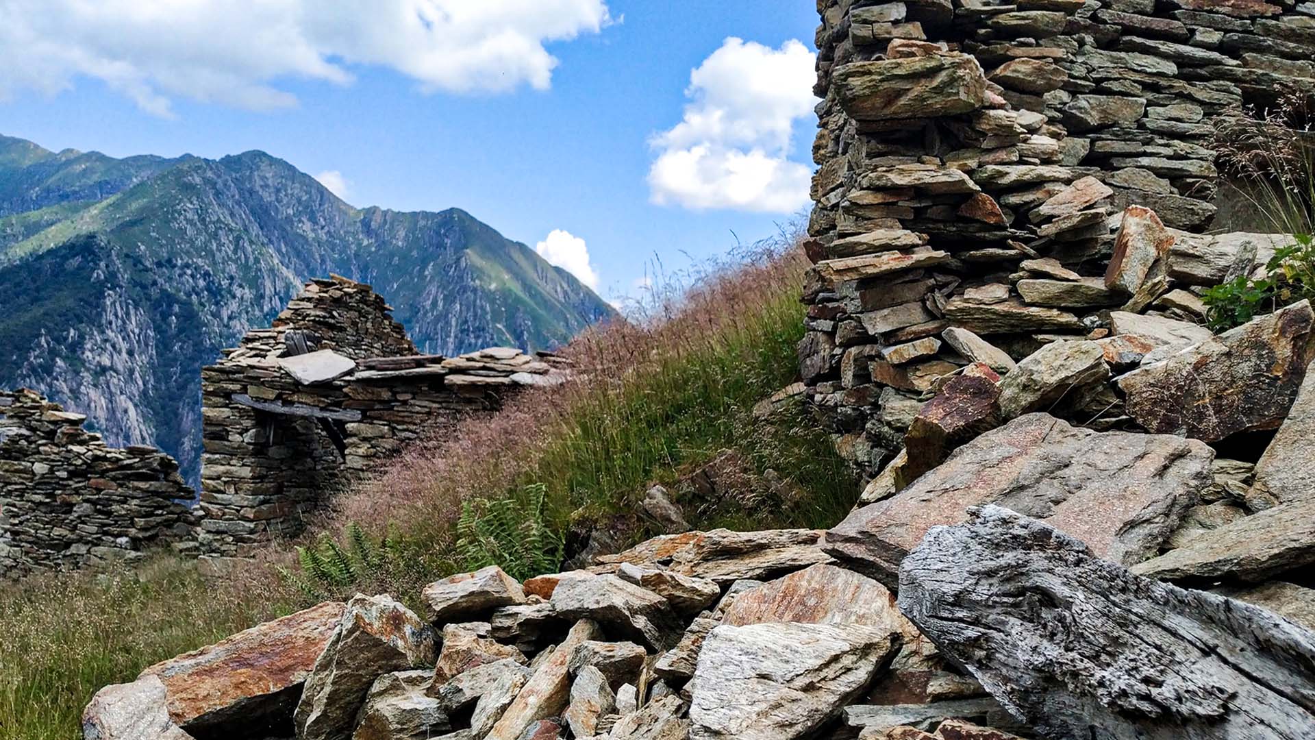
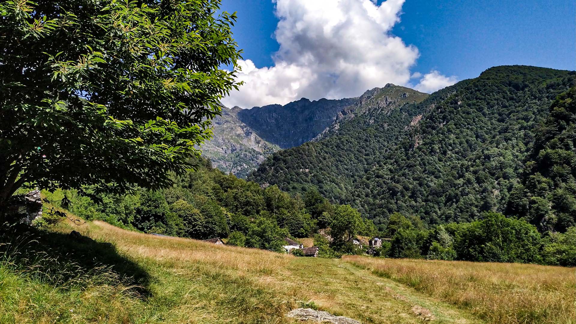
The trail end by going down to Cicogna along a paved mule track, with a small deviation to admire the Prà alp’s “cup and ring” stone, the oldest sign of civilizations in Val Grande.