From your phone's store, download an App to view the GPX tracks.
Some Apps, like Komoot and Wikiloc have a navigation function (upon payment).


 Click here to watch the video!


 https://www.itinerarium.it/hikes/74/privacy-policy


 Length:
 Our time:
 Total climb:
 Min and max height:
 Type of track:
 Surface:
 Panorama:
 Cell network coverage:
 Traced in winter:
 Traced by bike:
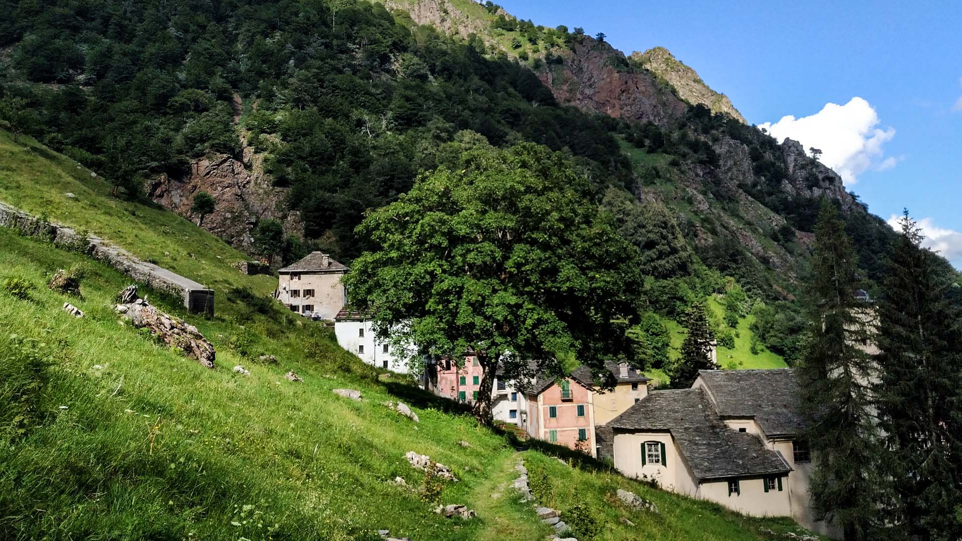
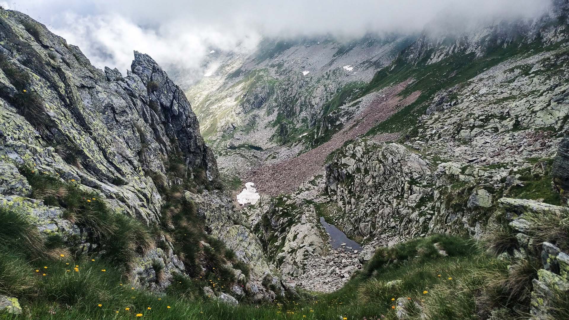
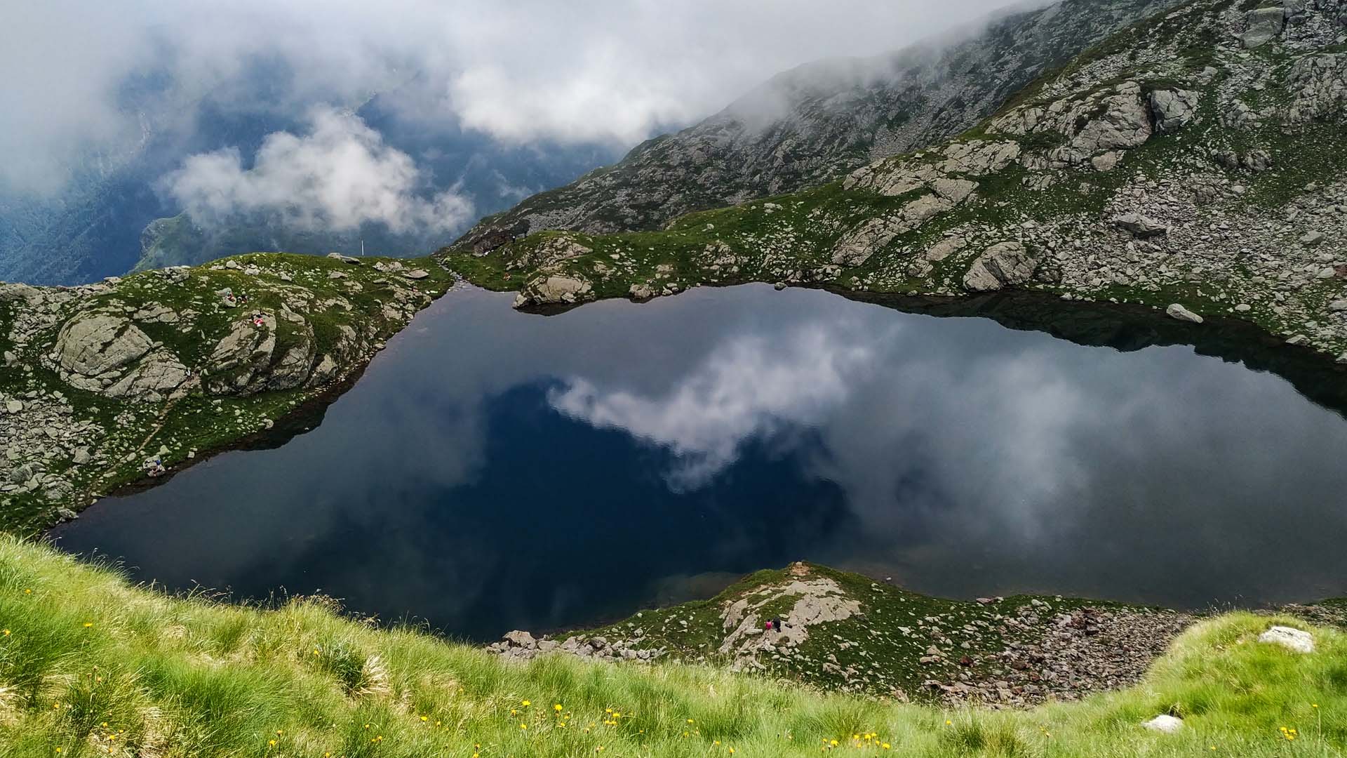
The trail starts in the small Walser village of Campello Monti where, after the “Sass da Mür” lodge, the steep climb begins and reaches the first alp, proceeding towards lake Capezzone. Here, on a dominant position, there is Abele Traglio bivouac, built by Quarna’s G.A.M. (Gruppo Amici della Montagna – group of mountain’s friends) and Omegna’s CAI. The lodge is located where there used to be a smaller lodge named “baitin dal pastur”, used by the shepherds of Campello Monti during the transhumance.
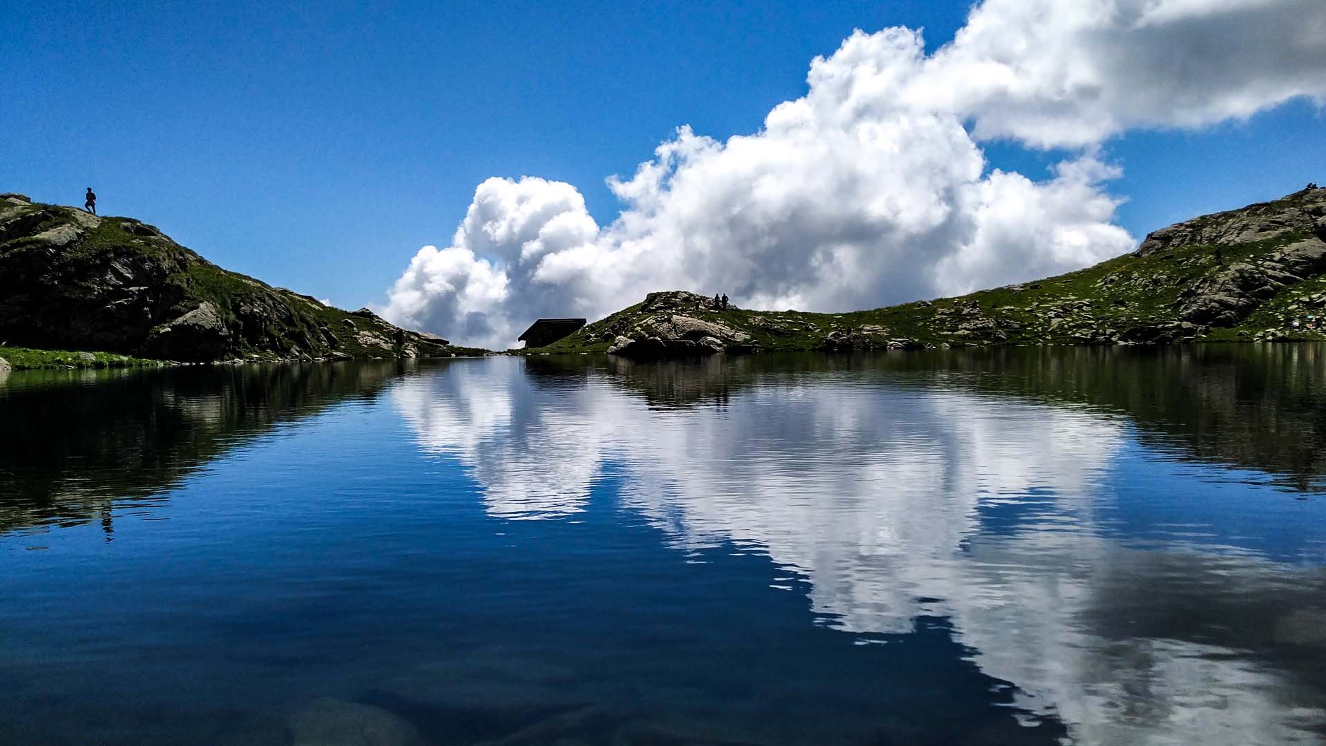
From the right side of the lake a few trails, mostly rocky, reach the Capezzone mount, made by four peaks in a row: Altemberg peak, Lago peak, Capezzone peak and Ronda peak. From the passage the sight opens on Monte Rosa massif.
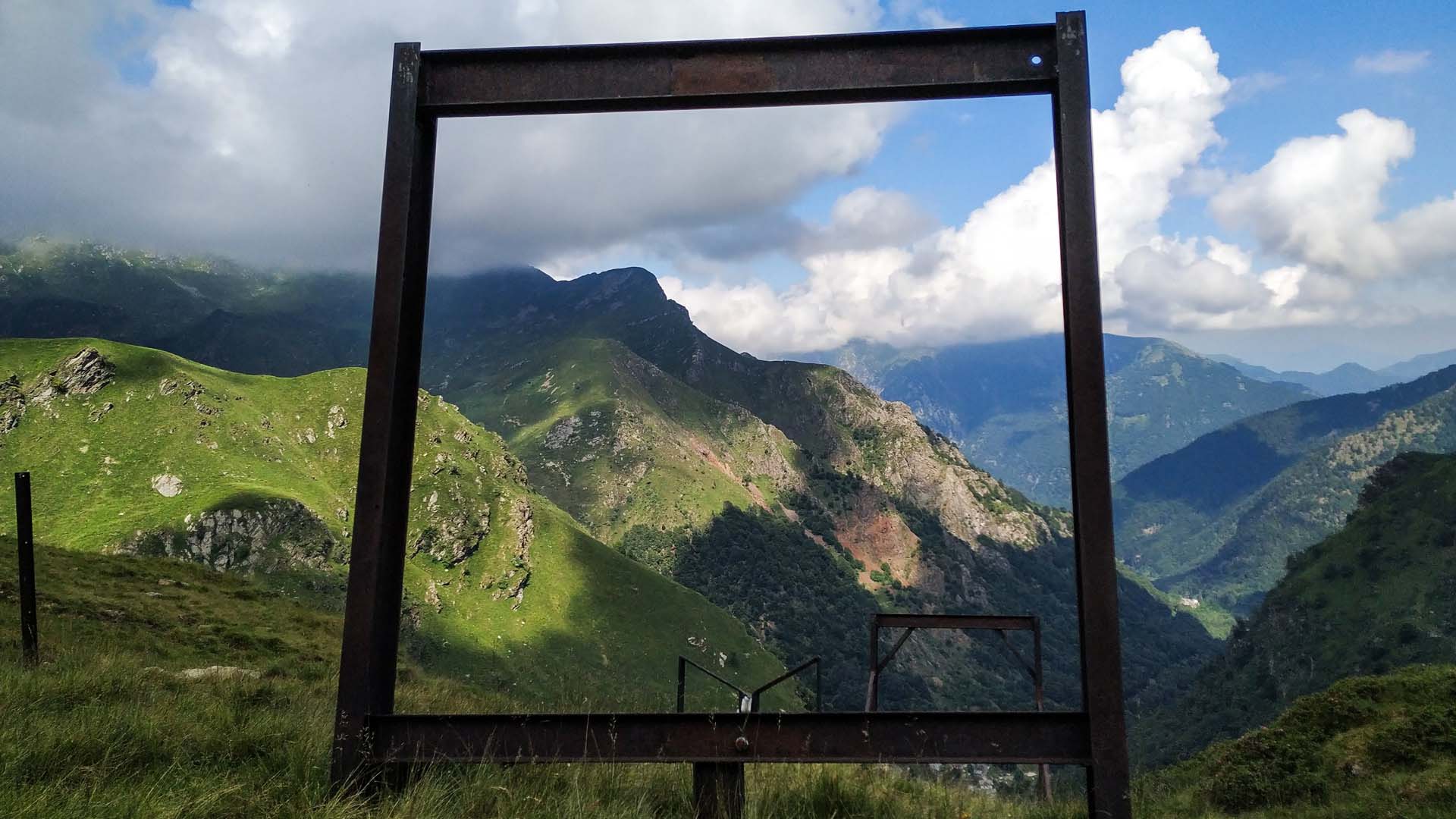
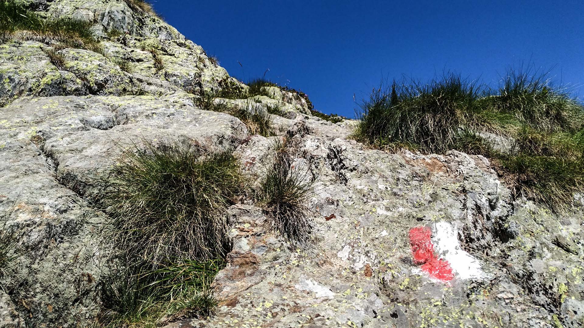
Proceeding on the right the trail reaches the cross on Capezzone peak. The trail on the left takes to Lago peak first and Altemberg peak then (both peaks can be reached by following the white and red CAI’s marks on the rocks).
In time this historic passage has seen many generations of hikers. The Walser people first, going down from Rimella to Val Strona to build the small town of Campello Monti. Then the miners who worked in iron and nickel quarries, then the charcoal workers and eventually the modern hikers.
Along the trail a post with a curious fact can be seen: the time needed to go from Rimella to Campello Monti by car is the same needed by a good hiker!


.jpg)